672 results
High school world history images
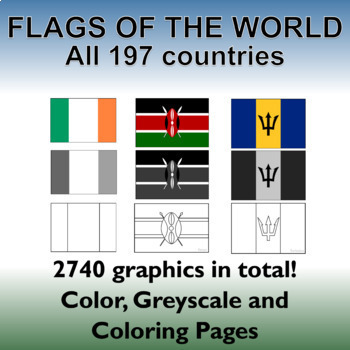
Flags of the World: 2740 World Flags - All 197 countries - Incl. Coloring Pages
Flags of the World: All 197 countries - 2740 graphics - Clip-art Set and Bonus PDF Document. Includes 197 colored flags that are identical in dimension to allow you to create uniform, clean looking resources!This clip art set contains 197 flags from around the world in both color, gray-scale and black and white outlined coloring pages. (A total of 2740 graphics!). A PDF document with the country name and large format flag is also included for easy printing and displaying.Every world flag is her
Grades:
PreK - 12th, Higher Education, Adult Education, Staff

Scientists and Inventors ClipArt
This clipart collection features 24 historical Scientists and Inventors. Perfect for the growth mindset classroom. Inspire your students with these public figures of grit, perseverance and courage!
Great for science lessons, language arts, social sciences, writing prompts, newsletters, bulletin boards, classroom projects, brag tags, class décor and more. This clipart set includes a total of 96 unique images (48 full-color, 48 B&W)!
All images are in png format so they can easily be dragge
Subjects:
Grades:
PreK - 12th
Also included in: Historical Figures Clip Art (Growing) Bundle
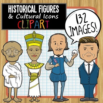
Historical Figures and Cultural Icons ClipArt
This clipart collection features 33 historical figures and cultural icons. Perfect for the growth mindset classroom. Inspire your students with public figures of grit, perseverance and courage!Great for Language Arts, Social Sciences, Writing prompts, newsletters, bulletin boards, classroom projects, brag tags, class décor and more. This clipart set includes a total of 132 unique images (66 full-color, 66 B&W)! All images are in png format so they can easily be dragged-and-dropped into your
Grades:
PreK - 12th
Also included in: Historical Figures Clip Art (Growing) Bundle

Tiki Art - Templates, Lesson Plans, and Coloring Sheets
Recently updated!Why didn't the Tiki go to the party?He had no body to go with.You know...Because of ...they're usually just heads.Oooookay.A collection of 80 full-page Tiki style face graphics for use with themed projects.A great set of reference images should feature enough different designs to provide students with a broad choice and promote plenty of variety in the finished projects. Ideally, there should also be opportunity for creative interpretation of the subject.I originally designed t
Grades:
K - 12th, Adult Education
Types:
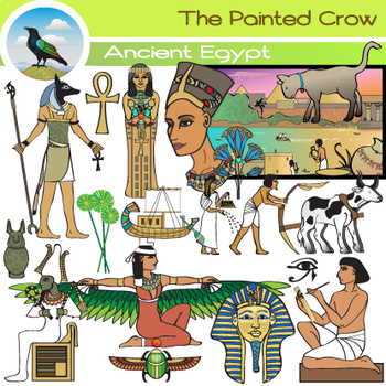
Ancient Egypt Clip Art - Egyptian History
A lot could be created with this 45 piece Ancient Egypt set as it covers many bases. Some of the many illustrations include different classes (farmers, a scribe, rulers), Egyptian gods and symbols, papyrus, a sarcophagus and 4 sons of Horus canopic jars.
The set includes 22 PNG color illustrations, and 23 PNG blackline / grayscale versions. These are high resolution (300 dpi) transparent background graphics. No watermarks will appear on the files that you download.
The clip art illustratio
Grades:
6th - 9th
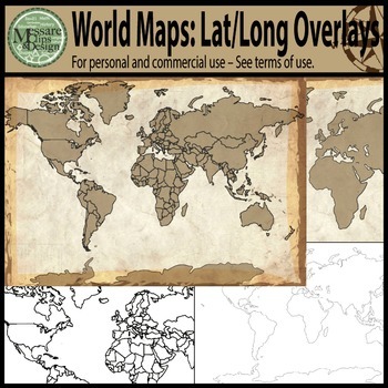
Maps: The World w/ Longitude & Latitude Overlays {Messare Clips & Design}
Sharpen your map skills!
This hugely diverse set of World Maps with Longitude and Latitude Overlays contains 25 individual high resolution graphics. All maps are shown in the thumbnail. There are 10 individual Latitude and Longitude Overlays that will provide you a wide range of uses.
There are two Latitude & Longitude scale variations used in the 10 overlays. One scale uses 30 degree intervals and the other uses 15 degree Latitude and 20 Degree Longitude intervals.
(Not all overlays de
Grades:
PreK - 12th, Higher Education, Adult Education
IMPACT of IMPERIALISM Perspectives | Political Cartoon Project | Print & Digital
IMPACT of IMPERIALISM Perspectives | Political Cartoon Project | Print & DigitalYour students will be engaged in this fun and interactive activity. Partners will work together to create political cartoons of both the negative and positive effects of imperialism around the globe. As a warm-up activity students analyze two poems, “The White Man’s Burden” by Rudyard Kipling and “The Brown Man’s Burden” by Henry Labouchere. Both Print & Digital (Google drive) versions are included! Then th
Grades:
9th - 12th
Types:
CCSS:
Also included in: Imperialism | BUNDLE | World History | Secondary | Print & Digital
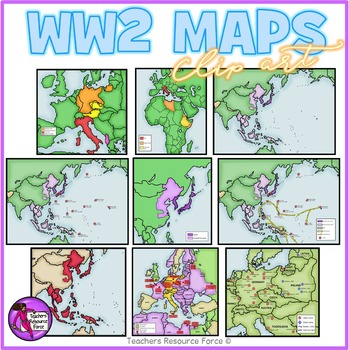
World War 2 Maps clipart
Get hold of this quality set of WW2 historical maps!Product includes:• Aggression in Africa• Aggression in Asia• Asia and the Pacific• Asia and the Pacific battles• Asia and the Pacific battles and allied advances• Expansion in Europe• Japanese expansion• Major battles in African and Europe• Nazi labor and death campsEach image is 300dpi png with transparent edges and closely cropped and each map comes in color as well as white and grey scale as seen in the previews.★ PSSSST: want to learn how t
Grades:
4th - 12th, Higher Education, Adult Education, Staff
4 Ages History and Prehistory Clip Art Bundle
This 118 piece 4 Ages Bundle features:
● Ice Age - woolly mammoth, atlatl, Altamira cave painting, fire, mammoth bone hut
● Stone Age - Lascaux cave Painting, dolmen, flint knapped stone, antelope
● Bronze Age - vessels, pottery, weapons, cuneiform tablet, forge, livestock,
● Iron Age - plow, hill fort, sickle, clay sculpture, hand mill, cart, torq, cattle herding
The above is just a small example of what is included in this bundle, illustrations of people of each era are included in e
Grades:
7th - 9th
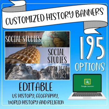
Social Studies/History Editable Google Classroom Banners/Headers
Tired of the same 6 history themes on Google Classroom?Try out these options instead! With 195 different banners all with high-quality images, this bundle includes pictures that would be relevant for any Social Studies class with labels for US History, American History, Social Studies, History, Geography, and World History, World Religions, and Religious Studies. Making your own banners can be tricky getting the size right and getting the best angle. Let me do it for you!Banners include various
Grades:
2nd - 12th
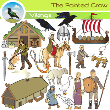
Vikings Clip Art - Medieval History - Middle Ages Norsemen
Create a great Viking culture resource with these 42 illustrations covering habitation, farming, livestock, adornments, weapons, a Norse longship and more. Features the daily life of men, women, teenagers and children.
Set includes 21 PNG color images, and 21 PNG blackline / grayscale versions. These are high resolution (300 dpi) transparent background graphics. No watermarks will appear on the files that you download.
The clip art measures approximately 6 inches to preserve image qualit
Subjects:
Grades:
6th - 9th
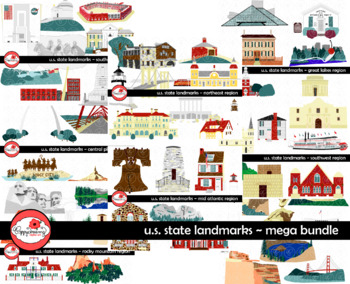
U.S. State Landmarks MEGA BUNDLE Clipart by Poppydreamz
United States Landmarks Mega Bundle. Bundle price is over 15% off purchasing the individual sets. Bundle includes images for famous world landmarks in all 50 states:NORTHEAST REGION:Maine: Portland HeadlightVermont: Shelburne Museum New Hampshire: North Conway Train StationMassachusetts: Plymouth Rock AND Robert Treat Paine HouseRhode Island: Newport MansionNew York: Brooklyn BridgeConnecticut: Mystic Seaport LighthouseMID ATLANTIC REGION:Pennsylvania: Liberty Bell AND Betsy Ross HouseNew Jersey
Grades:
1st - 12th, Staff
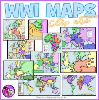
World War 1 maps clipart
Get hold of this quality set of WW1 historical maps!
Product includes:
• Germany fighting 2 war fronts
• Post WW1 Europe and Middle East areas lost
• Post WW1 Europe and Middle East
• The Schlieffen Plan
• WW1 Africa 1914
• WW1 Allied and Central Powers 1914
• WW1 Colonial Powers 1914
• WW1 Europe and Middle East 1914
• WW1 Europe
• WW1 World at War
Each image is 300dpi png with transparent edges and closely cropped and each map comes in color as well as white and grey scale as seen in the pre
Subjects:
Grades:
5th - 12th, Higher Education, Adult Education, Staff
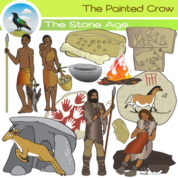
Stone Age Clip Art Set - Hunters and Gatherers
This 32 piece set features Stone Age artifacts, artwork, and architecture from a variety of areas. It includes a flint knapped stone tool from Olduvai, iconic Lascaux and Cueva de las Manos cave paintings, a stone dolmen structure, the earliest known petroglyphs (Bhimbetka Caves in India), and a carved column from Gobekli Tepe (a neolithic temple discovered in the Anatolia region of Turkey). Also included are 4 stone age people.
The set includes 16 PNG color illustrations, and 16 PNG blackline/
Grades:
7th - 10th

ENLIGHTENMENT Philosophers | X-Ray Poster | Print & Digital | DISTANCE LEARNING
This is a fun and interactive group project that will help your students understand the major contributions of famous enlightenment philosophers to governments around the world. Both printable and digital versions are included. "Provided an engaging supplemental project to our Enlightenment unit! Very creative and my students enjoyed presenting their chosen philosopher to the class." CynthiaPurchase Includes: 19-slide PowerPoint: Review of the Enlightenment and directions for X-Ray poster &
Grades:
8th - 11th
Types:
CCSS:
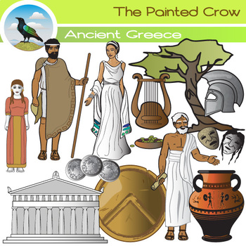
Ancient Greece Clip Art Set
This 24 piece set features an ancient Greek woman, man, philosopher, and Kore statue. Also included are a Spartan shield, helmet, a lyre, vase, olive tree with bowl of olives, theater masks, coins, and the Parthenon.
The set includes 12 PNG color illustrations, and 12 PNG blackline/grayscale versions. These are high resolution (300 dpi) transparent background graphics. No watermarks will appear on the files that you download.
The clip art illustrations measure approximately 6 inches to preser
Grades:
6th - 9th
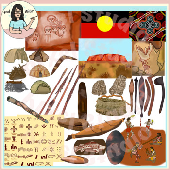
Australian Aboriginal Indigenous People Clip Art Uluru Dreamtime Shelters
This is a beautiful set containing 42 images of Australian Aboriginal Indigenous people artifacts, shelters, cultural and lifestyle objects. The clipart has lot of authentic details!Your product/worksheet/presentation is going to standout!The images have 300 dpi resolution and are at least 6 inches in length at the longest edge. The images scale well without losing quality.There are 21 colored images, and 21 black line art.You will get the following colored images:* Dreamtime* Rainbow Serpent* A
Grades:
3rd - 12th, Staff
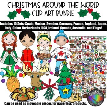
Christmas Around the World Utimate Clip Art Bundle - Chalkstar Graphics
Christmas Around the World Clipart, Holidays Around the World Clipart- Complete Bundle!This Ultimate Christmas Around the World Collection combines Bundle 1 and 2 and includes: Sweden, England, Germany, Italy, France, Spain, Japan, Mexico, Ireland, Netherlands, USA, China, Canada, Australia, Philippines, Hawaii and Brazil clip art. Bonus: Flag Ornaments and Nativity!This set includes 467 total images: 240 color images and 227 black and white images. Sweden- This hand drawn set includes: A gi
Grades:
PreK - 12th, Staff
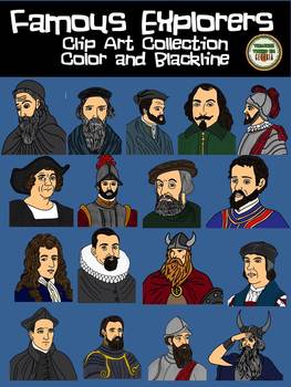
Famous Explorers Clip Art Collection! Blackline and Color
This is a set of 34 images depicting some of the most famous explorers in history. You will receive both color and blackline copies of each of the following.
o Eric the Red
o Leif Erickson
• Christopher Columbus
• Hernan Cortes
• Hernando de Soto
• Francisco Vasquez de Coronado
• Jacques Cartier
• Samuel de Champlain
• John Cabot
• Henry Hudson
• John White
• Amerigo Vespucci
- Bartolomeu Dias
- Francisco Pizarro
-Robert La Salle
-Giovanni d
Grades:
3rd - 12th
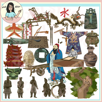
Ancient Civilizations: China Clip Art Great Wall, Terracotta Army, Inventions
This is a beautiful set containing 44 images of Ancient China Civilization artifacts, architecture, inventions, cultural and lifestyle objects. The clipart has lot of authentic details! The clipart is divided by the various dynasties and their most important contributions towards the Chinese Civilization.Your product/worksheet/presentation is going to standout!The images have 300 dpi resolution and are at least 6 inches in length at the longest edge. The images scale well without losing quality
Grades:
3rd - 12th, Higher Education, Staff
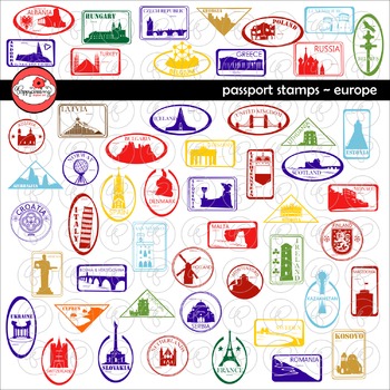
Passport Stamps Europe Clipart by Poppydreamz
Passport Stamps Europe set includes passport stamps for each European Country depicting mostly landmarks, some Coats of Arms, and some National Symbols. 52 stamps in both color and black and white for a total of 104 images. Included in the set:Albania, Rozafa CastleAndorra, Centre Termoludic CaldeaArmenia, Statue of Mother ArmeniaAustria, Seekirchl ChapelAzerbaijan, Flame TowersBelarus, Cross of St. Euphrosyne & White StorkBelgium, Atomium BrusselsBosnia and Herzegovina, Mehmed Pasa Sokolovi
Grades:
1st - 12th, Staff
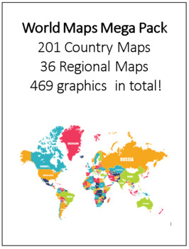
World Maps Mega Pack 201 Country Maps, 36 Regional Maps - 469 graphics in total!
This clip art set contains all 201 Country Maps and 36 regional maps color. Maps are in both PDF and JPEG format. These maps are perfect for educational projects and teaching resources. This comprehensive collection is ready to print.All map files have been named for convenience.Regional Maps:1. Africa2. Africa 23. Africa Political 19934. Africa Political 19955. Africa Political 19976. Africa Political 19987. Africa Political 20008. Africa Political 20019. Africa Political 200310. Arctic Regio
Grades:
3rd - 12th, Higher Education, Adult Education
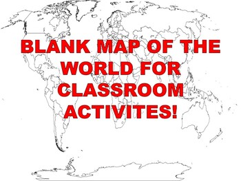
FREE Blank Map of the World
What Social Studies Teacher isn't always looking for a blank map of the World? Well, here you go! This free resource is used as a map labeling activity. Please leave a positive review if you enjoyed it!Do you teach World History? Here is my Instant Curriculum (Just Add Teacher); World History Complete Course that takes care of every lesson, vocabulary word, vocabulary quiz, PowerPoint, Test and review for every level of student. I hope you'll allow me to do all the paperwork so you can focus on
Grades:
PreK - 12th, Higher Education, Adult Education, Staff
Types:
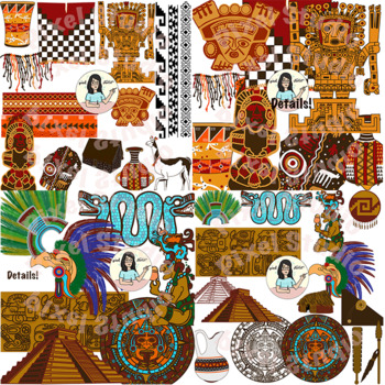
Ancient Civilizations - Inca, Aztec, Maya Cultural Objects, Artifacts, Buildings
This is a beautiful bundle containing 31 detailed, unique images of the Cultural and Lifestyle objects, Building, Artifacts of the Inca, Aztec and Maya civilizations. The clipart contains a lot of authentic details; lines are crisp and colors are bright and vivid. Your product/worksheet/presentation is going to standout!The images have 300 dpi resolution and are at least 7 inches in length at the longest edge. The images scale well without losing quality. Check out my Native American Packages:**
Grades:
2nd - 12th
Showing 1-24 of 672 results


