28 results
Elementary geography resources for Easel Activities on sale
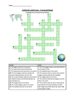
Continents and Oceans - Crossword Puzzle Worksheet Activity (Printable)
This is a crossword puzzle about Continents and Oceans that can easily be used as a homework assignment, early finishers, bell ringers, assessment activity, lesson plan supplement, and/or extra class time.The vocabulary words covered in this crossword are: Continent, Asia, Antarctica, Australia, Africa, Europe, North America, South America, Ocean, Pacific, Arctic, Southern, Atlantic, Indian, Greenland✅ Save Big by getting the following bundle now:Mega Bundle: 100 Crossword & Word Search Puzz
Subjects:
Grades:
4th - 7th
Types:
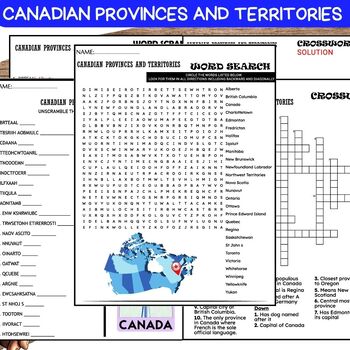
Canadian Provinces and Territories PUZZLE, Word Scramble, Crossword & Wordsearch
❤️️Canadian Provinces and Territories WORKSHEETS , Word Scramble , Crossword & Wordsearch.This comprehensive resource includes a variety of activities like word scramble, crossword, and word search, designed to educate and entertain students about the diverse regions of Canada. From British Columbia to Newfoundland and Labrador, students will unravel the geography, capitals, and unique features of each province and territory. Perfect for classrooms, homeschooling, or anyone interested in Can
Grades:
5th - 8th
Also included in: Canadian History-Geography BUNDLE
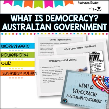
Australian Democracy and levels of government.
What is democracy?AimI can describe the main features of a democracy and discuss the rights and responsibilities of citizens in AustraliaLearning IntentionsTo learn about the different levels of government used to maked decisions and laws in AustraliaWhat is the system of Government in AUSTRALIA?Basic rightsWho rules Australia?What does democracy mean?Democracy and votingYoung people and democracyMain political partiesVotingElected representativesLevels of GovernmentLaw and orderWhat is included
Grades:
4th - 6th, Staff
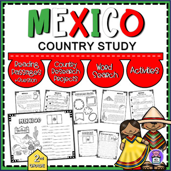
All About Mexico - Mexico Country Study | Reading Comprehension and Activities
Mexico Country Research Projects | Country Quick Facts & Map Explore the vibrant culture and rich heritage of Mexico with this comprehensive Country Study pack! Perfect for 2nd-grade students, this resource includes reading passages with questions, country research projects, engaging activities, and fun word searches. Bring Mexico to life in your classroom and enhance your students' learning experience with this educational resource.Activities Include:2 Pages - Reading Passage 1 Page - Quest
Grades:
2nd - 5th
Types:
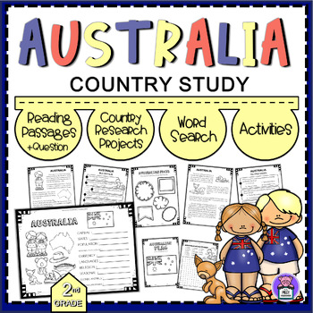
All About Australia Country Study | Reading Comprehension Map and Activities
Australia Country Research Projects | Country Quick Facts & MapExplore the vibrant culture and rich heritage of Australia with this comprehensive Country Study pack! Perfect for 2nd-grade students, this resource includes reading passages with questions, country research projects, engaging activities, and fun word searches. Bring Australia to life in your classroom and enhance your students' learning experience with this educational resource.Activities Include:2 Pages - Reading Passage1 Page
Grades:
2nd - 5th
Types:
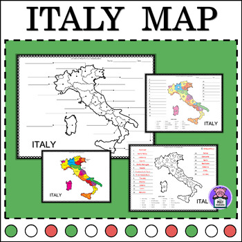
Italy Map Quiz Labeling the State | Numbered | Geography Map of Italy
Label Map of ItalyEnhance your geography lessons with this Italy Map resource! Perfect for educators, this set includes labeled maps of Italy, showcasing its different states. Use these maps to teach students about the geography and regions of Italy in an engaging and informative way.3 Labeling Versions Included:Numbered Label- with word bankIdentify LabelBlank Map for Writing and ColorAlso Includes:PosterColor and BW VersionsAnswer keyYou may also like this16 Countries:MexicoAustraliaFranceItal
Subjects:
Grades:
3rd - 6th
Types:
Also included in: Labeling Map Quiz Countries Around the World - BUNDLE
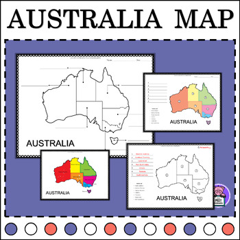
Australia Map Quiz Labeling State and Territories | Geography Map of Australia
Label Map of AustraliaEnhance your geography lessons with this Australia Map resource! Perfect for educators, this set includes labeled maps of Australia, showcasing its different states. Use these maps to teach students about the geography and regions of Australia in an engaging and informative way.3 Labeling Versions Included:Numbered Label- with word bankIdentify LabelBlank Map for Writing & ColorAlso Includes:PosterColor and BW VersionsAnswer keyYou may also like this16 Countries:MexicoA
Grades:
2nd - 5th
Types:
Also included in: Labeling Map Quiz Countries Around the World - BUNDLE
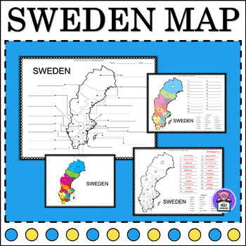
Sweden Map Quiz Labeling the Counties | Numbered | Geography Map of Sweden
Map of Sweden LabellingEnhance your geography lessons with this Sweden Map resource! Perfect for educators, this set includes labeled maps of Sweden, showcasing its different counties. Use these maps to teach students about the geography and regions of Sweden in an engaging and informative way.3 Labeling Versions Included:Numbered Label- with word bankIdentify LabelBlank Map for Writing and ColorAlso Includes:PosterColor and BW VersionsAnswer keyYou may also like this16 Countries:MexicoAustralia
Grades:
4th - 6th
Also included in: Labeling Map Quiz Countries Around the World - BUNDLE
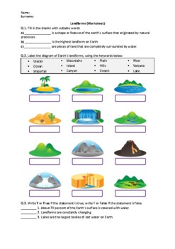
Landforms - Worksheet | Easel Activity & Printable PDF
This worksheet is the perfect way to help your students learn and review Landforms.You can access the answer key, also a word document and Google Slides link of this content from the following resource:Landforms - WorksheetIn this worksheet, students will answer questions about the following terms:GlacierMountainsPlainRiverOceanIslandHillsVolcanoWaterfallCanyonDesertLakePeninsulaPlateauRelated products include:Earth Science (Middle School) - WorksheetsScience Worksheets All in OneFor updates abo
Subjects:
Grades:
3rd - 6th
Types:
Also included in: Earth Science Worksheets Bundle - Easel Activities and Printable PDFs

Liberia Map Quiz Labeling the Counties | Numbered | Geography Map of Liberia
Label Map of LiberiaEnhance your geography lessons with this Liberia Map resource! Perfect for educators, this set includes labeled maps of Liberia, showcasing its different counties. Use these maps to teach students about the geography and regions of Liberia in an engaging and informative way.3 Labeling Versions Included:Numbered Label- with word bankIdentify LabelBlank Map for Writing and ColorAlso Includes:PosterColor and BW VersionsAnswer keyYou may also like this16 Countries:MexicoAustralia
Grades:
3rd - 6th
Types:
Also included in: Labeling Map Quiz Countries Around the World - BUNDLE

Iceland Map Quiz Labeling the Regions | Numbered | Geography Map of Iceland
Label Map of IcelandEnhance your geography lessons with this Iceland Map resource! Perfect for educators, this set includes labeled maps of Iceland, showcasing its different regions. Use these maps to teach students about the geography and regions of Iceland in an engaging and informative way.3 Labeling Versions Included:Numbered Label- with word bankIdentify LabelBlank Map for Writing and ColorAlso Includes:PosterColor and BW VersionsAnswer keyYou may also like this16 Countries:MexicoAustraliaF
Grades:
4th - 7th
Types:
Also included in: Labeling Map Quiz Countries Around the World - BUNDLE
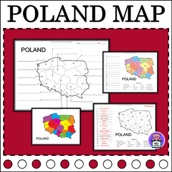
Poland Map Quiz Labeling the Provinces | Numbered | Geography Map of Poland
Label Map of PolandEnhance your geography lessons with this Poland Map resource! Perfect for educators, this set includes labeled maps of Poland, showcasing its different provinces. Use these maps to teach students about the geography and regions of Poland in an engaging and informative way.3 Labeling Versions Included:Numbered Label- with word bankIdentify LabelBlank Map for Writing and ColorAlso Includes:PosterColor and BW VersionsAnswer keyYou may also like this16 Countries:MexicoAustraliaFra
Grades:
3rd - 6th
Types:
Also included in: Labeling Map Quiz Countries Around the World - BUNDLE

Jamaica Map Quiz Labeling the Parishes | Numbered | Geography Map of Jamaica
Label Map of JamaicaEnhance your geography lessons with this Jamaica Map resource! Perfect for educators, this set includes labeled maps of Jamaica, showcasing its different parishes. Use these maps to teach students about the geography and regions of Jamaica in an engaging and informative way.3 Labeling Versions Included:Numbered Label- with word bankIdentify LabelBlank Map for Writing and ColorAlso Includes:PosterColor and BW VersionsAnswer keyYou may also like this16 Countries:MexicoAustralia
Grades:
3rd - 6th
Types:
Also included in: Labeling Map Quiz Countries Around the World - BUNDLE
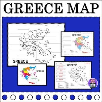
Greece Map Quiz Labeling the Regions | Numbered | Geography Map of Greece
Map of Greece LabellingEnhance your geography lessons with this Greece Map resource! Perfect for educators, this set includes labeled maps of Greece, showcasing its different regions. Use these maps to teach students about the geography and regions of Greece in an engaging and informative way.3 Labeling Versions Included:Numbered Label- with word bankIdentify LabelBlank Map for Writing and ColorAlso Includes:PosterColor and BW VersionsAnswer keyYou may also like this16 Countries:MexicoAustraliaF
Grades:
3rd - 6th
Also included in: Labeling Map Quiz Countries Around the World - BUNDLE
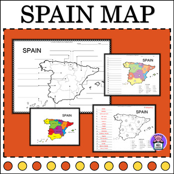
Spain Map Quiz Labeling the States | Numbered | Geography Map of Spain
Label Map of SpainEnhance your geography lessons with this Spain Map resource! Perfect for educators, this set includes labeled maps of Spain, showcasing its different states. Use these maps to teach students about the geography and regions of Spain in an engaging and informative way.3 Labeling Versions Included:Numbered Label- with word bankIdentify LabelBlank Map for Writing and ColorAlso Includes:PosterColor and BW VersionsAnswer keyYou may also like this16 Countries:MexicoAustraliaFranceItal
Subjects:
Grades:
5th - 8th
Also included in: Labeling Map Quiz Countries Around the World - BUNDLE
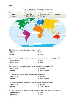
Seven Continents and Five Oceans - Worksheet | Easel Activity & Printable PDF
This engaging worksheet contains a variety of questions to help your students learn (or review) basic concepts about Seven Continents and Five Oceans.You can access the answer key, a Word document, and Google Slides link of this content from the following resource:Seven Continents and Five Oceans - WorksheetIn this resource, students will answer questions about the following terms:ContinentsNorth AmericaSouth AmericaAsiaEuropeAntarcticaAfricaAustraliaOceansPacific OceanAtlantic OceanSouthern Oce
Subjects:
Grades:
2nd - 6th
Types:
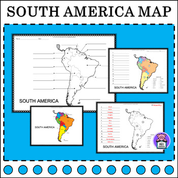
South America Map Quiz Label | Numbered | Geography Map of South America
Label Map of South AmericaEnhance your geography lessons with this South America Map resource! Perfect for educators, this set includes labeled maps of South America, showcasing its different countries. Use these maps to teach students about the geography and regions of South America in an engaging and informative way.3 Labeling Versions Included:Numbered Label- With countries listIdentify LabelBlank Map for Writing Also Includes:PosterColor and BW VersionsAnswer keyYou may also like this16 Coun
Grades:
3rd - 6th
Types:
Also included in: Labeling Map Quiz Countries Around the World - BUNDLE
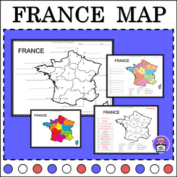
France Map Quiz Labeling the State | Numbered | Geography Map of France
Label Map of FranceEnhance your geography lessons with this France Map resource! Perfect for educators, this set includes labeled maps of France, showcasing its different states. Use these maps to teach students about the geography and regions of France in an engaging and informative way.3 Labeling Versions Included:Numbered Label- with word bankIdentify LabelBlank Map for Writing and ColorAlso Includes:PosterColor and BW VersionsAnswer keyYou may also like this16 Countries:MexicoAustraliaFrance
Grades:
3rd - 6th
Types:
Also included in: Labeling Map Quiz Countries Around the World - BUNDLE
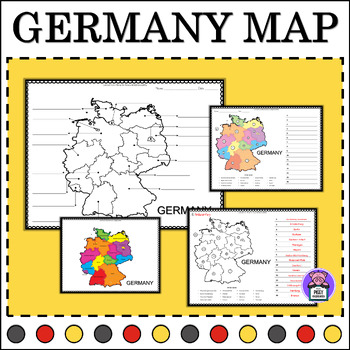
Germany Map Quiz Labeling the States | Numbered | Geography Map of Germany
Label Map of GermanyEnhance your geography lessons with this Germany Map resource! Perfect for educators, this set includes labeled maps of Germany, showcasing its different states. Use these maps to teach students about the geography and regions of Germany in an engaging and informative way.3 Labeling Versions Included:Numbered Label- with word bankIdentify LabelBlank Map for Writing and ColorAlso Includes:PosterColor and BW VersionsAnswer keyYou may also like this16 Countries:MexicoAustraliaFr
Subjects:
Grades:
2nd - 5th
Types:
Also included in: Labeling Map Quiz Countries Around the World - BUNDLE
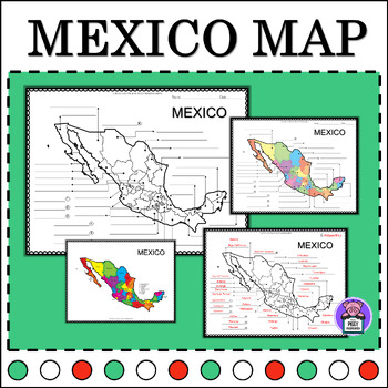
Map of Mexico | Geography Map of Mexico | Labeling the States | Map Quiz
Label Map of MexicoEnhance your geography lessons with this Mexico Map resource! Perfect for educators, this set includes labeled maps of Mexico, showcasing its different states. Use these maps to teach students about the geography and regions of Mexico in an engaging and informative way.Includes:1 Map of Mexico - Label1 Blank Map of Mexico - Label1 Mexico Map - PosterColor and BW VersionsAnswer keyYou may also like this16 Countries:MexicoAustraliaFranceItalyGermanyCanadaSpainGreeceJamaicaIcelan
Grades:
3rd - 6th
Types:
Also included in: Labeling Map Quiz Countries Around the World - BUNDLE
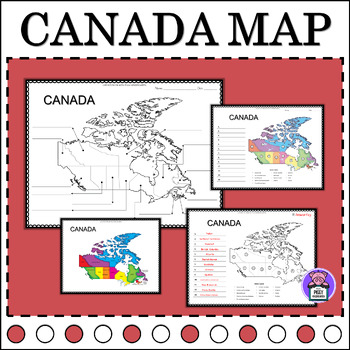
Map of Canada Provinces and Territories | Label and Color | Geography Map
Label Map of CanadaEnhance your geography lessons with this Canada Map resource! Perfect for educators, this set includes labeled maps of Canada, showcasing its different provinces and territories. Use these maps to teach students about the geography and regions of Canada in an engaging and informative way.3 Labeling Versions Included:Numbered Label- with word bankIdentify LabelBlank Map for Writing and ColorAlso Includes:PosterColor and BW VersionsAnswer keyYou may also like this16 Countries:Me
Grades:
3rd - 5th
Types:
Also included in: Labeling Map Quiz Countries Around the World - BUNDLE
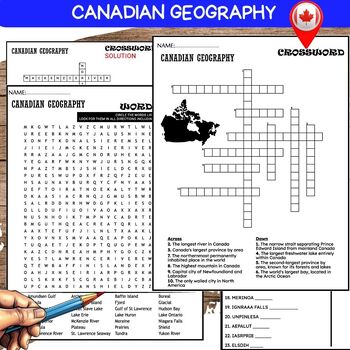
Canadian GEOGRAPHY WORKSHEETS PUZZLE, Word Scramble, Crossword & Wordsearch
❤️️Canadian Geography WORKSHEETS , Word Scramble , Crossword & Wordsearch.This resource offers engaging activities including word scramble, crossword, and word search, designed to enhance students' understanding of Canada's geography. From its majestic mountains to pristine lakes, this collection provides an interactive and educational experience. Perfect for classrooms or homeschooling, these worksheets encourage geographical literacy while making learning about Canada fun and memorable.(10
Grades:
5th - 8th
Also included in: Canadian History-Geography BUNDLE
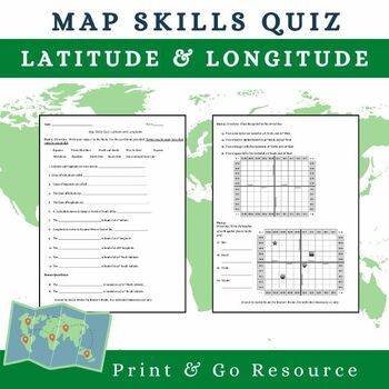
Map Skills Quiz on Latitude and Longitude!
NOW COMPATIBLE WITH TPT DIGITAL ACTIVITIES!This quiz is great for middle school or high school Social Studies classes working on map skills! This quiz has two parts. The first part is a fill in the blank style assessment with a word bank. The second is an application section in which students are asked to determine the coordinates of marks on a grid and place their own symbols to match the coordinates provided.
Grades:
5th - 12th
Types:
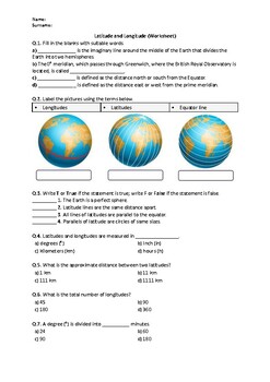
Latitude and Longitude - Worksheet | Easel Activity & Printable PDF
This worksheet contains basic conceptual questions about Latitude and Longitude.✨ You can access the answer key, a Word document (printable & editable), and Google Slides link of this content from the following resource:Latitude and Longitude - WorksheetIn this worksheet, students will answer questions about the following terms:LatitudeLongitudeEquatorthe Prime MeridianParallelsMeridiansFor updates about sales and new products, please follow my store:Science WorksheetsYour feedback is import
Subjects:
Grades:
5th - 9th
Types:
Also included in: Earth Science Worksheets Bundle - Easel Activities and Printable PDFs
Showing 1-24 of 28 results


