2,740 results
Elementary geography resources for Easel Activities
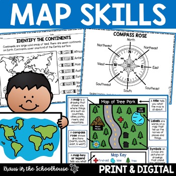
Map Skills Activities and Worksheets Maps Globes Landforms Continents & Oceans
Make learning fun for your students when teaching map skills. Map skills topics include maps, globes, continents, oceans, landforms, water forms, suburban, urban, rural, directions, and more. This resource is perfect for second, third, and fourth grade students. Digital activity included using Easel by TpT.These activities can be used during whole group instruction, independent work, and center time. Easy-to-use activity sheets with clear directions and answer keys are provided.HERE'S WHAT YOU'L
Grades:
2nd - 4th
Types:
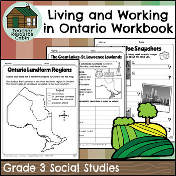
Living and Working in Ontario Regions Workbook (Grade 3 Social Studies)
This workbook covers the Grade 3 Living and Working in Ontario unit in the NEW 2023 Ontario Social Studies curriculum (People and Environments).In this workbook, students will learn many interesting things about Ontario. They will explore the provinces and territories of Canada through maps and descriptions. The workbook will teach them about land use in Ontario, including its purpose and how it is compared to other areas. They will learn about municipal governments and Indigenous reserves, incl
Grades:
3rd
Also included in: Grade 3 Ontario Social Studies Workbook Bundle
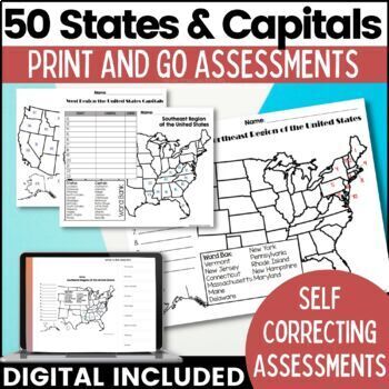
50 States and Capitals Map Activities Print & Digital Resource
Help your students learn and remember the 50 United States and Capitals. This product breaks the 50 states into five regions to make learning easier to manage and teach. United States maps are included with printable assessments, self correcting digital assessment and digital practice worksheets.Update! Easel Digital Version is Included (updated 7/2022)Self Correcting Assessments and Easy to Assign!Save $$$ when you buy as a bundle:The United States and Capitals Geography Review Activities and A
Grades:
3rd - 5th
Types:
Also included in: 50 States and Capitals Bundle Map Print & Digital Resource 50% OFF
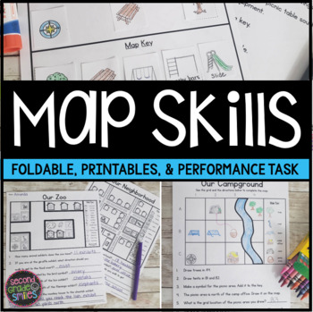
Map Skills Worksheets & Performance Task | Print & Easel
Practice using a map key, a compass rose, and a scale to read, interpret, and create basic maps! These printables are perfect for teaching geography or quick map skills assessments in first grade, second grade, or third grade! The following print-and-go map skills activities are included:Map Vocabulary Foldable: Students cut along the dotted lines to create three flaps and then fold along the solid line. Under each flap, students define the vocabulary word shown on the top of the flap. Words inc
Grades:
1st - 3rd
Types:
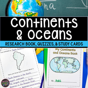
Continents and Oceans Geography Research, Study Cards, Quizzes | Print & Easel
This seven continents and major oceans geography resource includes: Continent Student Book - A cover page, label by number student maps, and pages picturing an outline of each of the 7 continents with space for students to write three facts about the continent are included.Continent and Ocean Quizzes - Both continent and ocean options come with and without word banks. Answer keys are included.Continent Study Cards - Each study card features a picture of the continent and the continent’s name.
Subjects:
Grades:
1st - 3rd
Types:
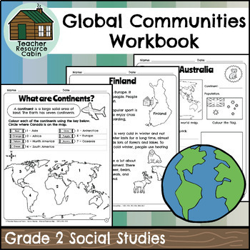
Global Communities Workbook (Grade 2 Social Studies)
This workbook covers the Grade 2 Global Communities unit in the NEW 2023 Ontario Social Studies curriculum (People and Environments).It covers various topics such as map skills, continents, oceans, and the equator. It further explores Canada, comparing climate, wildlife, natural features, homes, and recreation. It includes information on specific Canadian communities in Ontario, Yukon, Nova Scotia, and British Columbia, including a contemporary FNMI community (Saugeen First Nation). The workbook
Grades:
2nd
Also included in: Grade 2 Ontario Social Studies Workbook Bundle
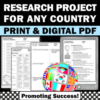
Country Research Projects Study Report Countries Around the World Research
Country Research Projects: This newly revised (July 2023) country study worksheet packet will help your 4th grade, 5th grade, and 6th grade social studies students conduct a country study research project for countries around the world. It not only includes country research graphic organizers and templates and for gathering information and conducting country research, but also guidance and skills for country report writing and giving a presentation. Grading rubrics, answer keys, differentiated a
Subjects:
Grades:
4th - 7th
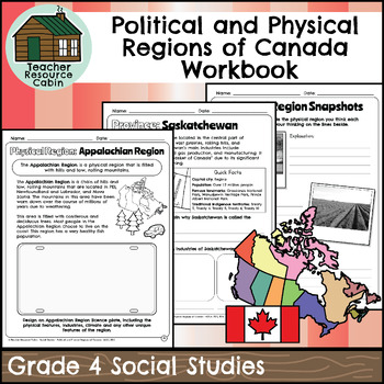
Political and Physical Regions of Canada Workbook (Grade 4 Social Studies)
This workbook covers the Grade 4 Political and Physical Regions of Canada unit in the current 2018 Ontario Social Studies curriculum (People and Environments).In this workbook, students will learn about various aspects of Canada's political and physical regions. They will explore political regions through maps, cardinal directions, and individual provinces and territories, including their flags and key facts. The workbook also covers physical regions, such as the Canadian Shield, Great Lakes-St.
Grades:
4th
Also included in: Grade 4 Ontario Social Studies Workbook Bundle
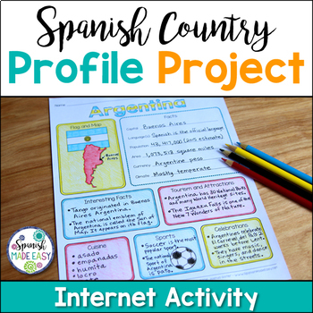
Spanish Country Profile Project
This is a country profile project over the 21 Spanish-speaking countries. Students will research important geographical and cultural facts about each country. This activity includes a blank country profile template, a template for each country, a list of Spanish-speaking countries, and a grading rubric in both English and Spanish. Research topics include: Countries flag, map, capital, language(s), population, area, currency, climate, interesting facts, tourism and attractions, cuisine, sports, a
Subjects:
Grades:
2nd - 12th
Types:
Also included in: Spanish Countries and Capitals Geography Bundle
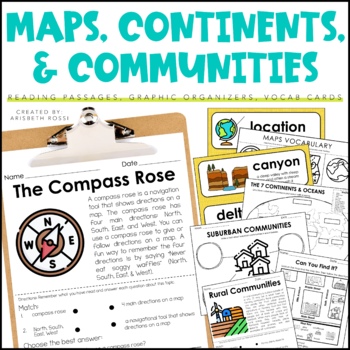
Maps and Globes - 7 Continents and Oceans- Landforms Map Skills Activity
This interactive and engaging resource will help your students learn all about Map Skills, Globes, Continents, Landforms, and Communities! These Map Skills activities will not only have your students learning the importance of locating on places on maps and globes, they’ll also be learning about constructing and reading a simple map, using cardinal directions and identifying map symbols. Lastly, they'll also compare and contrast basic land use in urban, suburban, and rural environments.This Maps
Grades:
1st - 3rd
Types:
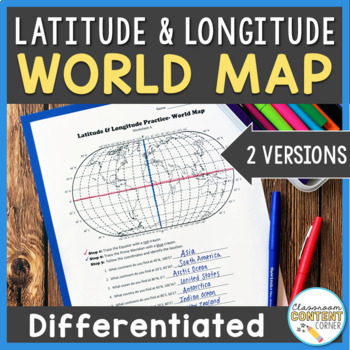
Latitude and Longitude Worksheet | Differentiated Activity| World Map
Students will practice following latitude and longitude coordinates to identify continents and oceans on a world map. This activity comes with 2 differentiated versions to meet your students' needs! Worksheet A has no labels, so students can practice identifying continents, oceans, and 2 (easily identifiable) countries as they follow the Latitude and Longitude coordinates! Worksheet B is similar, and perfect for ELL's or struggling learners! The map on this version is labeled, so students can re
Subjects:
Grades:
4th - 8th
Types:
Also included in: Latitude and Longitude ACTIVITY BUNDLE!
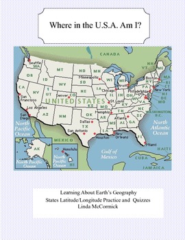
Latitude and Longitude Worksheets and Quizzes - U.S.A. Geography
This collection of worksheets and a printable map provide excellent lessons for learning latitude and longitude. • This package contains 9 pages. • A printable map with the necessary information to answer the questions regarding latitude and longitude.• Includes practice and two quizzes in the “Where Am I” format•Answer KeyThis lesson is google classroom ready.Please e-mail me with any questions about this resource or suggestions for future resources at: ljmccormick33@yahoo.com. If you are diss
Subjects:
Grades:
5th - 9th
Types:
Also included in: U.S.A. Geography- Bundle
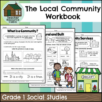
The Local Community Workbook (Grade 1 Social Studies)
This workbook covers the Grade 1 The Local Community unit in the NEW 2023 Ontario Social Studies curriculum (People and Environments).The workbook covers various topics related to the local community, including traditional territory, natural and built features, community history, community services, emergency services, waste management, green spaces, natural resources, shopping, cultural centres, Indigenous Friendship Centres, libraries, postal service, recreation, and more.There is a variety of
Grades:
1st
Also included in: Grade 1 Ontario Social Studies Workbook Bundle
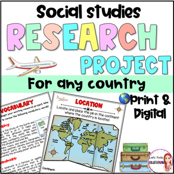
Social Studies Research Project for any Country - Culture and Geography Digital
Social Studies research project for any country / Geography research projectEngage your students in an exciting social studies research project that explores the rich cultural heritage and geography of different countries. This country research project encourages students to explore fascinating topics such as history, traditions, and customs. Through this hands-on geography investigation, students develop a deeper understanding of global diversity and enhance their research and critical thinkin
Subjects:
Grades:
2nd - 6th
Types:
Also included in: Social Studies research project for any country in Spanish - landforms
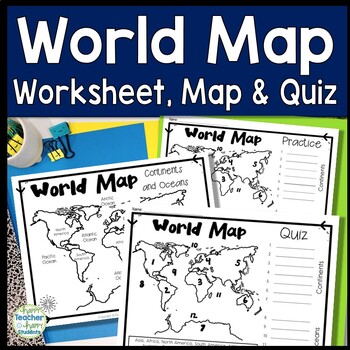
World Map: World Map Quiz (Test) and Map Worksheet | 7 Continents and 5 Oceans
Map of the World Test: Easy-to-read World Map Quiz requires students to locate 7 Continents and 5 Oceans. This resource also includes a world map printable for kids to practice learning the map of the world. Students must label continents and oceans: 7 Continents (Asia, Africa, North America, South America, Antarctica, Australia & Europe) and 5 Oceans (Atlantic, Pacific, Indian, Arctic & Southern). This is an ideal continents and oceans activities for 1st grade, 2nd grade, 3rd grade, 4th
Grades:
2nd - 6th
Types:
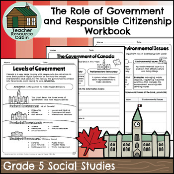
Role of Government and Responsible Citizenship Workbook (Grade 5 Social Studies)
This workbook covers the Grade 5 The Role of Government and Responsible Citizenship unit in the Ontario Social Studies 2018 curriculum (People and Environments).In this workbook, students will learn about various aspects of government and responsible citizenship. They will explore topics such as the role of government, different levels of government, municipal and provincial governments, the federal government, elections, taxes, Canadian citizenship, rights and responsibilities, the Charter of R
Subjects:
Grades:
5th
Also included in: Grade 5 Ontario Social Studies Workbook Bundle
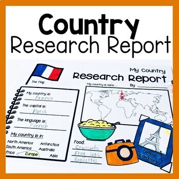
Country Research Report Worksheets and Graphic Organizers Google Slides
Are you looking for engaging activities for writing a country research project? These country research graphic organizer worksheets are perfect for your literacy and social studies lessons about countries. They are ideal for research projects and report writing. They are also great for reading lessons with informational texts.These informational essay graphic organizers are offered as no prep printables, as well as in digital formats (TPT Easel and Google Slides). Here's the thing. You want your
Subjects:
Grades:
1st - 3rd
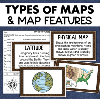
Types of Maps Map Features Skills Geography Posters Social Studies Assessment
Students will learn about different types of maps and common map features with this social studies resource. It includes 17 visuals/posters plus a worksheet/assessment.MAPS POSTERSThese can be kept together as a single page or cut apart into separate cards for display or a matching activity. The top of each card has the title and definition, and the bottom has a full-color illustration. WORKSHEETThis activity requires students to match the types of maps to their purpose, know the function of var
Subjects:
Grades:
3rd - 6th
Types:
Also included in: Geography Landforms & Bodies of Water Types of Maps Map Elements Posters
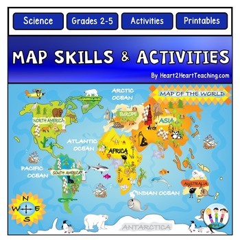
Back to School Map Skills Worksheets First Day of Social Studies 2nd 3rd Grades
Back to School Map Skills with US Maps & World Maps Activities. Learning about Map Skills has never been so much fun! This resource has several engaging map activities that will have students hunting for answers. It works well for centers and is perfect for a beginning-of-the-school-year activity. A complete unit with activities for students to practice their map skills. High-resolution maps are included for students to use for completing a variety of map activities. Students can use maps fo
Grades:
2nd - 5th
Types:
Also included in: Back to School Activities Mega BUNDLE and Teacher Resource Pack
Grade 2 Social Studies Ontario Global Communities 2023
This package includes:Shared reading passages, Easy-to-follow worksheets, Differentiated tasks (Low and High), Unit Quiz, Unit Review Tests, Answer Key, All expectations in "People and Environments" Strand covered, Includes 3 Formats:1. PDF Download:Download PDF and photocopy worksheets2. TPT EASEL Activity:EASEL FAQEASEL Tutorial3. Google Slides:Download PDF and click on the link at the bottom of the contents pageMake your own copy of the Google Slides when promptedBased on the Ontario Curricul
Grades:
2nd
Types:
Also included in: Grade 2 Ontario Social Studies Bundle 2023
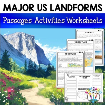
Major US Landforms Yellowstone National Park Yosemite National Park Grand Canyon
Our Major US Landforms unit includes reading passages and activities about the Great Lakes, Yellowstone, Grand Canyon, Arches National Park, Yosemite, Great Plains, Death Valley & more! Reading passages come in 3 levels of difficulty.These geographical features are included:The Great BasinThe Gulf of MexicoThe Great LakesDeath ValleyThe Atlantic Coastal PlainThe Continental DivideThe Great PlainsArches National ParkGrand CanyonYellowstone National ParkYosemite National ParkA Digital Version
Grades:
3rd - 5th
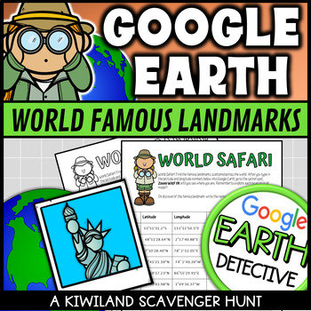
Google Earth World Famous Landmarks Scavenger Hunt 1 (Latitude and Longitude)
This Google Earth Scavenger Hunt activity is a fun and engaging way for your students to discover and explore world famous landmarks using Google Earth or other software. It provides a hands on approach to using latitude and longitude coordinates in Google Earth.Students are required to type the given coordinates into Google Earth to discover what famous landmark is at that location. Perfect for Planet Earth Day and Earth Science.This download includes:2 x Color Google Earth scavenger hunts.2 x
Grades:
3rd - 8th
Types:
Also included in: Google Earth Scavenger Hunt with Latitude and Longitude Fun Activities
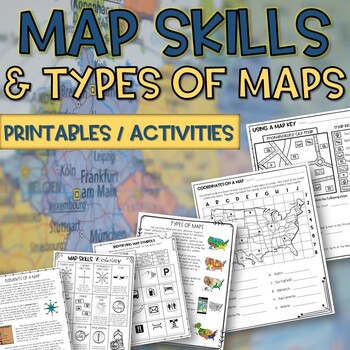
Map skills and Types of Maps Printables & Activities Pack
Map Skills and Types of Maps Unit: All the worksheets and activities you will need to help teach the subject. Answer Keys are included. What comes with this download: (take a look at the preview for greater detail!)· Types of Maps Reading Passage and Comprehension Questions · Elements of a map Reading Passage and Comprehension Questions · Using a Compass Rose Worksheet · United States map filled in and empty · Cut and Paste Types of Maps · Using a map key activity · Map skills activity · Coordin
Subjects:
Grades:
3rd - 5th
Types:
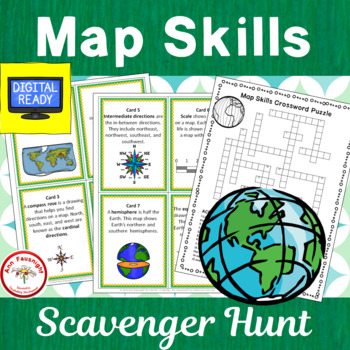
Map Skills Scavenger Hunt + Free BOOM Cards
This 20-question scavenger hunt (task card activity) reviews and practices map skills, vocabulary, and terms. (2 cards have been added for use by Canadian teachers.)This Product Includes:• cover card for organizing and storing scavenger hunt • 20 colorful cards providing practice with map skills vocabulary and using maps• alternate cards have been added using a map of Canada for cards 13 and 14, instead of a map of the United States.• 20 b/w cards• crossword puzzle (2 formats for differentiation
Grades:
3rd - 4th
Types:
Also included in: Map Skills Bundle
Showing 1-24 of 2,740 results


