76 results
Free elementary geography resources for Easel Activities
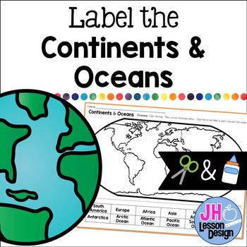
Label the Continents and Oceans: Cut and Paste
This cut and paste activity provides an opportunity for your students to practice labeling the continents and oceans on a world map.
Subjects:
Grades:
K - 5th
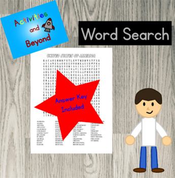
FREE US Geography Worksheet - 50 States Word Search - United States Puzzle
All 50 States Word SearchGreat United States geography review. Words hidden across, down, diagonally, and backwards. 2 Pages - Word search & answer keyCheck out the full listing 53 page US State Word Search here:53 Page US State Word Search
Grades:
4th - 6th
Types:
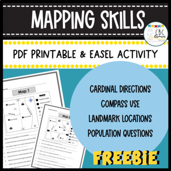
Mapping Skills Worksheets Cardinal Directions Compass Use Easel Activity
Help your students learn more about how to use a map in this free resource. Each page has a specific map that students will need to answer questions about. Students will show understanding of cardinal directions, how to use a compass, locating a landmark, and determining population of specific towns. Teacher keys are provided for easy grading and review with students on a document camera. Each of the maps can be used as a bell ringer, guided practice, or independent class work. This free resourc
Subjects:
Grades:
3rd - 4th
Types:
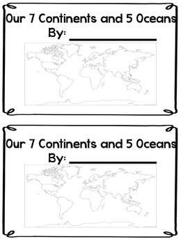
Continents and Oceans Mini Book
This is a Mini Book to help review or introduce the 7 continents and 5 oceans. There are several different world maps here to show as well as a separate page for each student to identify the shape of each continent. This is also a fill in the blank book where students have to write in the names of each continent.
Subjects:
Grades:
1st - 4th
Types:
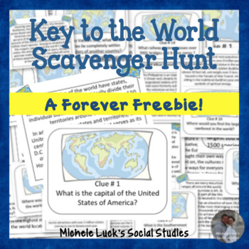
Key to the World Scavenger Hunt of Fun Geography Facts - Task Cards
FREE! Introduce your students to World Geography with this Key to the World Scavenger Hunt! Students can investigate fun facts about our world by reading the provided fact cards, or they can utilize the internet of other classroom resources with this fun, engaging activity!Use as a centers activity, as task cards, for a World Walking Tour, in an archeology dig site, or as daily bell ringers.Includes: 20 Question Cards20 Fact CardsStudent HandoutsWrap-up QuestionsAnswer KeyIf you like this Scav
Grades:
3rd - 10th
Types:
North America and United States Geography - Mapping FREEBIE
Draw geographic features on a map of North America or the United States. This resource can be used as notes, practice, review or assessment! Students use different colored crayons to draw the geographic features of North America (SOL 3.6) or the United States (SOL 2.6). If you would like to see more maps like this, check out my full product: SOL 3.6 Label Geographic Features on Maps {5 Continents}If you are looking for more SOL 3.6 resources, check out my SOL 3.6 Geographic Features Powerpoint a
Subjects:
Grades:
2nd - 3rd
Types:
Also included in: Geographic Features BUNDLE - 3rd Grade Geography Unit - VA SOL 3.6
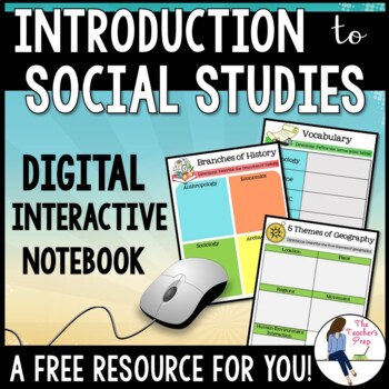
Introduction to Social Studies Digital Interactive Notebook for Google Drive
These digital interactive notebook graphic organizers will help students organize information about the study of Social Studies. They are compatible with Google Drive and TpT Easel!This FREE resource is a great way to engage your students while using the technology at their fingertips.Why should you use a Digital Interactive Product? *No cutting, gluing or paper needed! *Students work directly with their own copy of the file and their work is saved automatically on their Google Drive account *En
Grades:
5th - 8th
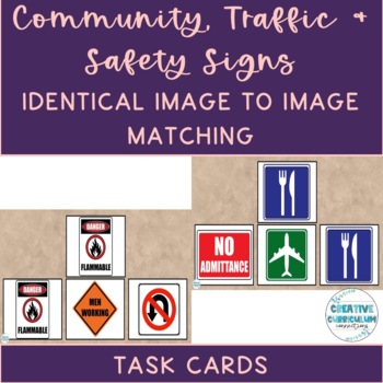
Community, Safety & Traffic Signs Identical Image to Image Matching Task Cards 2
For this community instruction based lesson, students are presented with varying community, traffic, or safety signs visually/in image form. Students are asked to review the provided sign and match it to its identical sign, out of an array of three images. Students will work on identifying alike images, identifying safety signs, and more!Task cards are great for running academic goals 1:1 with a student, in discrete trial format, or even as a group activity. Access my free data sheet to support
Subjects:
Grades:
1st - 12th, Higher Education, Adult Education
Types:
Also included in: Identical & Non-Identical Picture Matching Task Cards GROWING BUNDLE
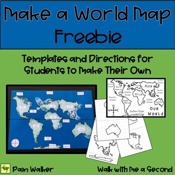
FREEBIE Make a World Map
I don’t know about you, but geography skills just always seem to get put on the back burner—but not so with this project! Here you get the templates to have students assemble a world map of their own. They color, cut, and glue the various continents. Adding labels, the Compass Rose, and the equator makes it complete. Easy prep for teachers… but know that students will need some time for completing—a great project for testing days (in other grades when you have to be so quiet), a homework project
Subjects:
Grades:
2nd - 4th
Types:
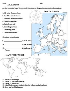
Map of Europe -- Atlas Activity
This is a map activity meant as a geographical review of countries in Europe that are central to studies in several social studies units (Ancient Greece & Rome, European explorers from Spain, France, and England).Includes an answer key.
Grades:
3rd
Types:
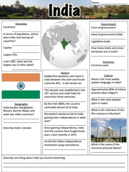
India Worksheet
India worksheet - this worksheet contains 23 questions and a short response for students to share something they found interesting about India. The worksheet was designed to go along with a presentation that can be found here: India, but it can also be used separately. A link to download a version formatted for Google Slides is also included.Related products:Asia PowerPointAsia WorksheetMiddle East PowerPointMiddle East WorksheetChina PowerPointChina WorksheetIndonesia PowerPointIndonesia Worksh
Grades:
5th - 8th
Types:
CCSS:
Also included in: Asia Bundle
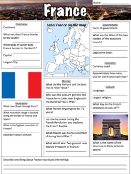
France Worksheet
France worksheet - this worksheet contains 24 questions, a map to label, and a short response for students to share something they found interesting about France. The worksheet was designed to go along with a presentation that can be found here: France, but it can also be used separately. A link to download a version formatted for Google Slides is also included.Related products: Europe Bundle One - Western EuropeEurope Bundle Two - Central and Eastern EuropeEurope Bundle Three - Northern Europe
Grades:
5th - 8th
Types:
CCSS:
Also included in: Europe Bundle One
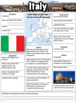
Italy Worksheet
This Italy worksheet contains 23 questions, a map to label, and a short response for students to share something they found interesting about Italy. Both a PDF and a link to download a version formatted for Google Slides are included.The worksheet was designed to go along with a free presentation that can be found here: Italy, but it can also be used separately. Related products:Austria PresentationAustria WorksheetGermany PresentationGermany WorksheetGreece PresentationGreece WorksheetHungary P
Grades:
5th - 8th
Types:
CCSS:
Also included in: Europe Bundle Two
FREEBIE Cardinal Directions
Need Cardinal Direction Labels for your classroom walls? Need lessons and worksheets to introduce cardinal directions to your primary students? With this FREEBIE you get 2 lessons—oral directions to follow, 2 worksheets that create a map—one in the classroom and one for student’s bedroom using cardinal directions, and the 4 labels for your classroom walls. You’ll love the easy prep and the fun way to teach cardinal directions.**********************************************************************
Subjects:
Grades:
1st - 2nd
Types:
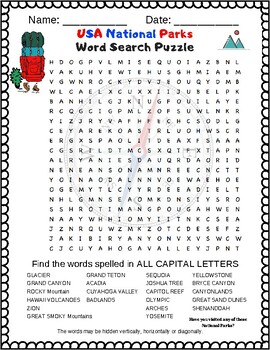
USA National Parks Activity - FREE Word Search Puzzle
**FREE PUZZLE**This puzzle celebrates the American National Parks with over 20 National Parks listed in this word search puzzle.If you like this puzzle please consider following me on TPT so you may get alerted when I release fun new puzzles.It isn't an inclusive list of National Parks, but it has a lot of the most visited National Parks including: Zion, Grand Teton, Grand Canyon National Park, Olympic, Great Smoky Mountains, Shenandoah, Glacier, Yosemite and of course Yellowstone.Students love
Subjects:
Grades:
4th - 7th
Types:
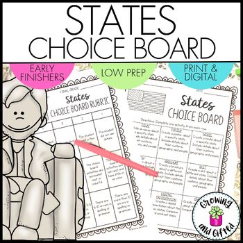
FREE States Choice Board Menu for Differentiation Enrichment and Early Finishers
Are you looking for an engaging, no-prep States Choice Board? Choice boards / menu boards / tic-tac-toe boards are excellent for differentiating your instruction for ALL students, including intervention and enrichment students! This choice board is perfect for reviewing and extending what you've taught in class. Printable and digital versions are both included, and it's ready to be used!What Is Included in This Resource?Teaching TipsChoice Board Folder CoversStudent Pages for Each Choice Board A
Grades:
2nd - 5th
Types:
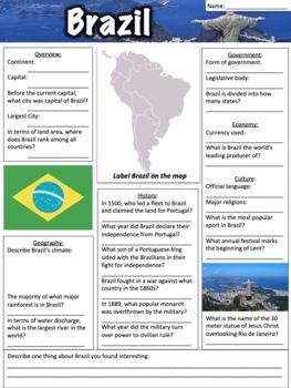
Brazil Worksheet
This free Brazil worksheet contains 26 questions, a map to label, and a short response for students to share something they found interesting about Brazil. A link to download a version formatted for Google Slides is also included.The worksheet was designed to go along with a presentation that can be found here: Brazil, but it can also be used separately. This product is also a part of a larger bundle that can be found here: South America Bundle.Related products:South America PowerPointSouth Amer
Subjects:
Grades:
5th - 8th
Types:
CCSS:
Also included in: South America Bundle
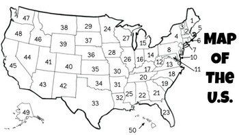
U.S. States and Capitals Test
This document includes a numbered map of the United States, an answer document, and word bank.
Grades:
5th - 8th
Types:
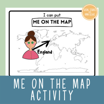
Elementary Social Studies I Can Put Me On The Map Geography World Map
Elementary Social Studies got you stuck? Try this fun me on the map freebie, great for kindergarten students or add some extra requirements and use with first grade, second grade or third grade! A great addition to a world maps unit as part of a geography lesson. Practice coloring, cutting and sticking and using a world map.
Grades:
K - 3rd
Types:
Also included in: Elementary Social Studies Me on the Map Unit Bundle Geography
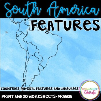
South America Geography
Print and go worksheets to explore countries, languages, and physical features in South America! A project extension idea is also included with this FREEBIE! This packet meets Tennessee social studies standards 3.33-3.34. I used these pages as notes for my class, and as an assessment tool.It includes a handout and answer key for each of the following:-map to label 5 countries (Cuba, Argentina, Brazil, Columbia, Peru)-map to label physical features/nearby islands-languages map
Grades:
3rd - 4th
Types:
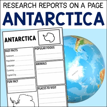
Antarctica Research Geography Project On A Page - PDF & Digital - FREE
These country research projects help elementary children learn about other countries, their people, their customs, their animals, and their natural attractions. They also help children read, synthesise and present information gained from reading about countries.Introduce your Grade 1 – 3 students, who might be starting out with research projects and using research skills, to the countries of the world…and to the joy of doing research projects at the same time!This Antarctica resource is a FREE R
Subjects:
Grades:
1st - 3rd
Social Studies K-1 FREEBIE
Are you wanting to have endless resources for Social Studies in K-1 that meet national benchmarks, but you would like a sneak peak first? This is a sample of what you can find in my SOCIAL STUDIES YEARLONG BUNDLE. Check it out!Related Products✈️ Social Studies YEARLONG BUNDLE Kindergarten and 1st GradeThe full bundle is set up in 4 NINE WEEK units that can be made into journals. (American History, Geography, Community Helpers, Civics and Government) It also includes two extra week units on mo
Subjects:
Grades:
K - 1st
Types:
Also included in: Social Studies Curriculum Kindergarten & First Grade BUNDLE
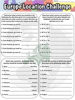
Europe Location Worksheet
This Europe location worksheet has 32 total questions. A PDF worksheet, answer key, link to download the worksheet in Google Slides, and link to download a Google Form are all included.The worksheet is divided in to four sections of eight questions each:In the first section, students are given a country, told to go a certain direction, and asked to identify in which country they would then be located. In the next section, students are given a set of latitude and longitude coordinates and asked t
Subjects:
Grades:
5th - 7th
Types:
CCSS:
Also included in: Location Worksheet Bundle
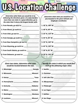
United States Location Worksheet
This United States location worksheet has 32 total questions. A PDF worksheet, answer key, link to download the worksheet in Google Slides, and link to download a Google Form are all included.The worksheet is divided in to four sections of eight questions each:In the first section, students are given a country, told to go a certain direction, and asked to identify in which country they would then be located. In the next section, students are given a set of latitude and longitude coordinates and
Subjects:
Grades:
5th - 7th
Types:
CCSS:
Also included in: Location Worksheet Bundle
Showing 1-24 of 76 results


