852 results
Kindergarten geography microsofts under $5
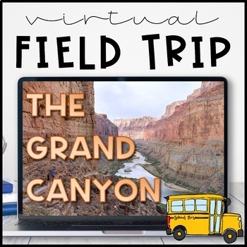
Virtual Field Trip to the Grand Canyon for Geology Science
Virtual Field Trip to the Grand Canyon!Not able to take any trips this fall? Go there virtually! Engaging, no matter the format of instruction, your students will be hooked! Use them as a preview to any science unit OR have the class work towards the reward of 'Field Trip Friday'! NO PREP WORK FOR YOU! Trip is designed for grade K - 5, I included multiple options for certain slides, easy to differentiate, just delete any slides that don't fit your grade level!W H A T ' S I N C L U D E D ?⭐️ Teac
Subjects:
Grades:
K - 5th
Types:
NGSS:
4-ESS1-1
, 3-ESS2-1
, 2-ESS1-1
, 4-ESS2-1
Also included in: THE COMPLETE COLLECTION! Every product in my TPT store - growing bundle!
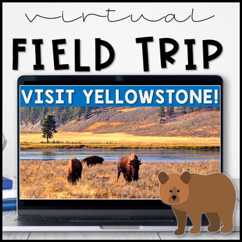
Virtual Field Trip Yellowstone National Park in the Spring
Virtual Field Trip to Yellowstone! Visit America's first national park!NO PREP! Just 'share your screen' and present the slides & videos. ☺Trip is designed for grade K - 5, easy to differentiate based on how many videos you play.GREAT FOR: socially distanced learning, science and social studies supplemental lesson, NO PREP sub plans or as a Fun Friday/Field Trip Friday classroom reward to work towards!!W H A T ' S I N C L U D E D ?⭐️ Teacher directions⭐️ PowerPoint & Google Slides includ
Subjects:
Grades:
K - 5th
Types:
NGSS:
4-LS1-1
, 3-LS4-3
, 2-LS4-1
, 1-LS3-1
Also included in: THE COMPLETE COLLECTION! Every product in my TPT store - growing bundle!
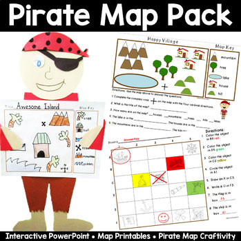
Map Pack: Pirate Theme- Perfect for Talk Like a Pirate Day
Ahoy Mateys! Ye students will shout "Shiver Me Timbers" as they're learning all about basic map skills with this piratey map pack that includes an interactive PowerPoint lesson, practice sheets, and an awesome make your own map craftivity, pirate style!This 33 page packet includes the following:Interactive and fun PowerPoint lesson that introduces the parts of a map- title, map key, symbols, and compass rose, and how to read a map with a grid. A Make Your Own Compass for each student. Two Basic
Grades:
K - 2nd
Also included in: Talk Like a Pirate Day Activities Bundle
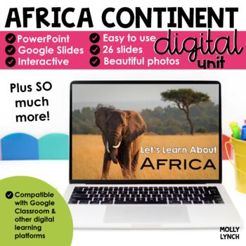
Africa Continents Study through PowerPoint/Google Slides
Learn about Africa! Take a journey around Africa without ever leaving your classroom with these stunning PowerPoint and Google Slides presentations.This PowerPoint/Google Slides presentation uses real photographs to give your students a peek into the amazing wonders of Africa!The Africa Continent Study includes maps, geographical information, animals, weather, cities, and important places to see! The final 3 slides quiz your students' knowledge! Looking for hands-on activities for your Continen
Grades:
K - 2nd
Also included in: Continents Bundle - A PowerPoint/Google Trip to the 7 Continents
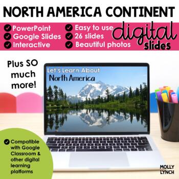
North America Continents Study through PowerPoint Google Slides Seesaw
Learn about North America! Take a journey around North America without ever leaving your classroom with these stunning PowerPoint and Google Slides presentations.This PowerPoint/Google Slides presentation uses real photographs to give your students a peek into the amazing wonders of North America!The North America Continent Study includes maps, geographical information, animals, weather, cities, and important places to see! The final 3 slides quiz your students' knowledge!Looking for hands-on ac
Grades:
K - 2nd
Also included in: Continents Bundle - A PowerPoint/Google Trip to the 7 Continents
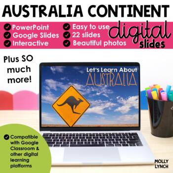
Australia Continent Study through PowerPoint Google Slides Seesaw
Learn about Australia! Take a journey around Australia without ever leaving your classroom with these stunning PowerPoint and Google Slides presentations.This PowerPoint/Google Slides presentation uses real photographs to give your students a peek into the amazing wonders of Australia!The Australia Continent Study includes maps, geographical information, animals, weather, cities, and important places to see! The final 3 slides quiz your students' knowledge! Looking for hands-on activities for y
Grades:
K - 2nd
Also included in: Continents Bundle - A PowerPoint/Google Trip to the 7 Continents
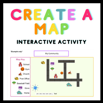
Distance Learning Create a Map Editable Interactive Activity Google Classroom
This is a fun, engaging interactive activity where students can practice their map skills by creating their very own map. The options are endless! Students can choose from a variety of symbol elements and copy and paste them onto the template to create a community map, a map of their home, a zoo/farm map, and more! Students can label their map title, map key, map symbols, and add a compass rose of their choice.This is an Editable Product. When purchasing, you will receive a zip file containing:-
Grades:
K - 8th
"Born on the Bayou" Louisiana Unit
A fun unit filled with Louisiana facts for your students! Perfect for Mardi Gras or Louisiana History for young learners. Louisiana Love Facts & History Power pointWrite the RoomReaderWriting- "What is one new thing you learned about Louisiana?" This is a compressed zip file
Subjects:
Grades:
PreK - 7th
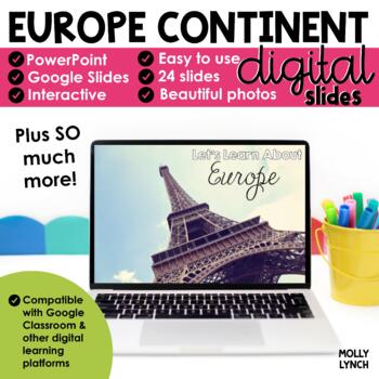
Europe Continent Study through PowerPoint Google Slides Seesaw
Learn about Europe! Take a journey around Europe without ever leaving your classroom with these stunning PowerPoint and Google Slides presentations.This PowerPoint/Google Slides presentation uses real photographs to give your students a peek into the amazing wonders of Europe!The Europe Continent Study includes maps, geographical information, animals, weather, cities, and important places to see! The final 3 slides quiz your students' knowledge!Looking for hands-on activities for your Continent
Grades:
K - 2nd
Also included in: Continents Bundle - A PowerPoint/Google Trip to the 7 Continents
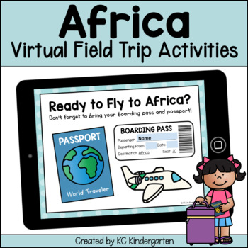
Africa Virtual Field Trip
This digital Virtual Field Trip to Africa is a perfect way to engage your students in learning about the continents and is perfect for your elementary Social Studies unit! Students will love watching videos, going on scavenger hunts, and writing about their new knowledge!Here's What's Included:An interactive Google Slides™ Presentation for Africa!A "Ready to Fly?" slide where students can add their name, date, and location to a boarding pass and see their passport.National Geographic Kids "Welco
Grades:
PreK - 3rd
Types:
Also included in: 7 Continents Virtual Field Trips Bundle
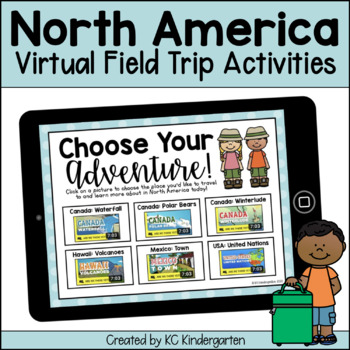
North America Virtual Field Trip
This digital Virtual Field Trip to North America is a perfect way to engage your students in learning about the continents and is perfect for your elementary Social Studies unit! Students will love watching videos, going on scavenger hunts, and writing about their new knowledge!Here's What's Included:An interactive Google Slides™ Presentation for North America!A "Ready to Fly?" slide where students can add their name, date, and location to a boarding pass and see their passport.National Geograph
Subjects:
Grades:
PreK - 3rd
Types:
Also included in: 7 Continents Virtual Field Trips Bundle
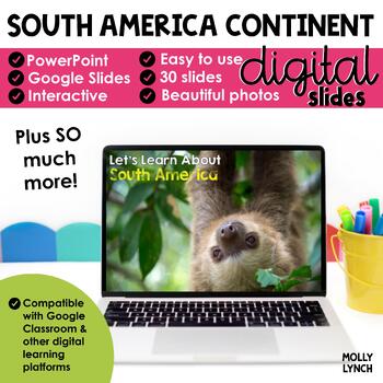
South America Continent Study through PowerPoint Google Apps Seesaw
Learn about South America! Take a journey around South America without ever leaving your classroom with these stunning PowerPoint and Google Slides presentations.This PowerPoint/Google Slides presentation uses real photographs to give your students a peek into the amazing wonders of South America!South AmericaThe Australia Continent Study includes maps, geographical information, animals, weather, cities, and important places to see! The final 3 slides quiz your students' knowledge!Looking for ha
Grades:
K - 2nd
Also included in: Continents Bundle - A PowerPoint/Google Trip to the 7 Continents
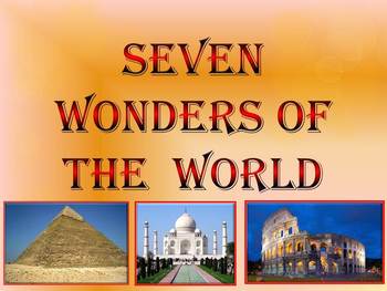
Seven Wonders of the Ancient World & New 7 Wonders Interactive
This is a beautiful and informative 23 slide PowerPoint presentation (+ 23 PDF). This is a super fun slide show. I've given you 20 files to look at in the Download Preview.The zip file contains: 1. PowerPoint presentation 2. PDF (23 pages) Seven Wonders of the Ancient World: 1.Great Pyramid of Giza 2. Hanging Gardens of Babylon 3. Temple of Artemis 4.Statue of Zeus at Olympia 5. Mausoleum at Halicarnassus 6. Colossus of Rhodes 7.Lighthouse of Alexandria New 7 Wonders of the World: 1. Gr
Subjects:
Grades:
K - 12th
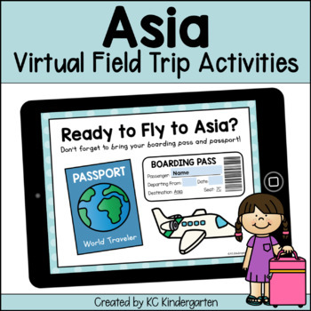
Asia Virtual Field Trip
This digital Virtual Field Trip to Asia is a perfect way to engage your students in learning about the continents and is perfect for your elementary Social Studies unit! Students will love watching videos, going on scavenger hunts, and writing about their new knowledge!Here's What's Included: An interactive Google Slides™ Presentation for Asia!A "Ready to Fly?" slide where students can add their name, date, and location to a boarding pass and see their passport. National Geographic Kids "Welcome
Grades:
PreK - 3rd
Types:
Also included in: 7 Continents Virtual Field Trips Bundle
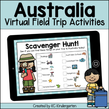
Australia Virtual Field Trip
This digital Virtual Field Trip to Australia is a perfect way to engage your students in learning about the continents and is perfect for your elementary Social Studies unit! Students will love watching videos, going on scavenger hunts, and writing about their new knowledge!Here's What's Included:An interactive Google Slides™ Presentation for Australia!A "Ready to Fly?" slide where students can add their name, date, and location to a boarding pass and see their passport.National Geographic Kids
Subjects:
Grades:
PreK - 3rd
Types:
Also included in: 7 Continents Virtual Field Trips Bundle
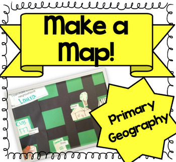
Let's Make a Map! {A Map-Making Activity for Primary Geography Unit}
Product Information: This is a simple, yet effective activity to teach students about maps. It is part of our Social Studies Geography unit. I print this printable, and give each student:-copy of labels (this printable)-a big piece of green construction paper-black strips to make roads-white squares to draw buildings and housesI introduce the lesson by:-showing real maps or online maps-talking about community and what our community looks like-brainstorming what places are by my houseThen the k
Grades:
K - 3rd
Types:
Also included in: Kindergarten Geography Bundle
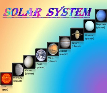
Solar System | Planets | PowerPoint | The Sun | The Moon | Distance Learning
Solar System | Space Quiz | Earth's orbit | Planet ActivitiesThe zip file contains:Solar System - Interactive slide show- inner planets: Mercury, Venus, Earth, and Mars; - outer planets: Jupiter, Saturn, Uranus, Neptune;- Earth's orbit- The Sun- The Moon - Space Quiz- AnswersThis is a beautiful and informative 30 slide PowerPoint presentation and 22 pages PDF.I've given you 4 slides to look at in the Download Preview – take a look! AstronomyPlease note that this package is also part of the bu
Subjects:
Grades:
PreK - 8th
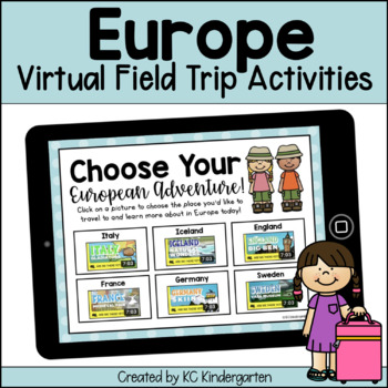
Europe Virtual Field Trip
This digital Virtual Field Trip to Europe is a perfect way to engage your students in learning about the continents and is perfect for your elementary Social Studies unit! Students will love watching videos, going on scavenger hunts, and writing about their new knowledge!Here's What's Included:An interactive Google Slides™ Presentation for Europe!A "Ready to Fly?" slide where students can add their name, date, and location to a boarding pass and see their passport.National Geographic Kids "Welco
Subjects:
Grades:
PreK - 3rd
Types:
Also included in: 7 Continents Virtual Field Trips Bundle

Regions of Texas Poster
This basic poster of the Regions of Texas is editable and can be scaled to fit whatever size you need. Directions for scaling the poster are included. This is a great resource for 4th and 7th grade Texas History classes or any Texas elementary classroom.
Grades:
K - 7th
Types:
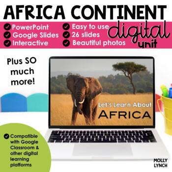
Antarctica Continents Study through PowerPoint Google Slides Seesaw
Learn about Antarctica! Take a journey around Antarctica without ever leaving your classroom with these stunning PowerPoint and Google Slides presentations.This PowerPoint/Google Slides presentation uses real photographs to give your students a peek into the amazing wonders of Antarctica!The Antarctica Continent Study includes maps, geographical information, animals, weather, cities, and important places to see! The final 3 slides quiz your students' knowledge! Looking for hands-on activities f
Grades:
K - 2nd
Also included in: Continents Bundle - A PowerPoint/Google Trip to the 7 Continents
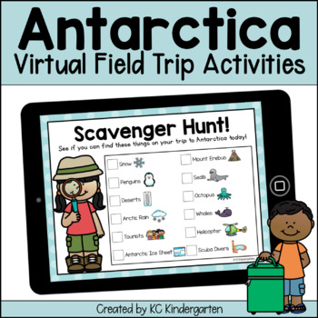
Antarctica Virtual Field Trip
This digital Virtual Field Trip to Antarctica is a perfect way to engage your students in learning about the continents and is perfect for your elementary Social Studies unit! Students will love watching videos, going on scavenger hunts, and writing about their new knowledge!Here's What's Included:An interactive Google Slides™ Presentation for Antarctica!A "Ready to Fly?" slide where students can add their name, date, and location to a boarding pass and see their passport.National Geographic Kid
Subjects:
Grades:
PreK - 3rd
Types:
Also included in: 7 Continents Virtual Field Trips Bundle
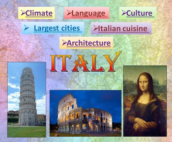
Italy | PowerPoint Presentation | Quiz distance learning (country study)
Italy PowerPoint Presentation Quiz, Art, Culture, Sights and FoodPowerpoint to introduce geographical / cultural / government information of Italy. Awesome as a visual to students.This download now comes with the slideshow in BOTH a PowerPoint and PDF version. Italy - Quiz - Climate - Culture - Language - Architecture - Largest cities - Italian cuisine - Interactive slide showThis is a beautiful and informative 54 slide PowerPoint presentation.This is a super fun slide show. I've given you 4 sli
Grades:
K - 10th
South America Virtual Field Trip
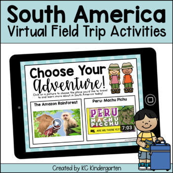
This digital Virtual Field Trip to South America is a perfect way to engage your students in learning about the continents and is perfect for your elementary Social Studies unit! Students will love watching videos, going on scavenger hunts, and writing about their new knowledge!Here's What's Included:An interactive Google Slides™ Presentation for South America!A "Ready to Fly?" slide where students can add their name, date, and location to a boarding pass and see their passport.National Geograph
Subjects:
Grades:
PreK - 3rd
Types:
Also included in: 7 Continents Virtual Field Trips Bundle
Maps and Globes PowerPoint | Maps & Globes PPT | Map Skills PowerPoint
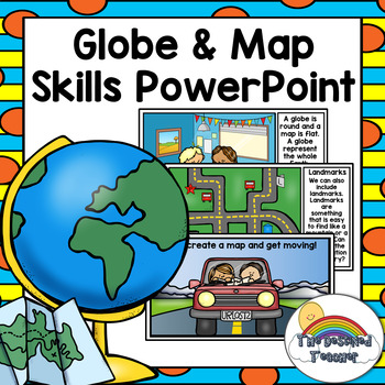
This Globe and Map Skills PowerPoint is exactly what is needed to teach students about maps and globes and how they assist us everyday! Topics include the following:-Maps -Globes-Continents-Routes-Landmarks-Compass rose-The difference between maps and globesPlease click the green star to receive product update, sales and promotions. Earn TPT credit by leaving feedback!
Grades:
PreK - K
Also included in: Kindergarten Social Studies PowerPoint Bundle | Entire Year Included!
Showing 1-24 of 852 results


