76 results
Kindergarten geography activboard activities under $5
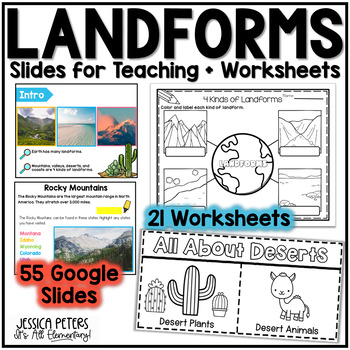
Landforms | Mountains Valleys Deserts Coasts Activities, Slides & Worksheets
Landforms Activities including Flip Books, Google Slides lessons, and worksheets to learn Mountains, Valleys, Deserts, and Coasts - This is an interactive Google Slides Lesson (55 slides) with 21 accompanying B&W printable worksheet activities. Google Slides include the following:14 slides to teach Mountains8 slides to teach Valleys13 slides to teach Deserts15 slides to teach CoastsGraphic Organizer to Show All LandformsThis product includes a Google Slides file that can be used for teaching
Subjects:
Grades:
K - 2nd
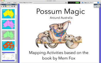
Possum Magic around Australia map - activinspire (PROMETHEAN)
Activities based on the Classic Australian Book POSSUM MAGIC. An interactive Presentation that you can use with a class, small group during literacy Groups or by individuals. You can print off to keep a record of understanding.
-Geograph
-Location
-Direction
Subjects:
Grades:
K - 2nd
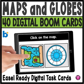
Maps and Globes Kindergarten and 1st Grade Digital Social Studies Centers
Add exciting DIGITAL activities to your map skills units with these maps and globes task cards and Boom Cards! This is a set of 40 map skills and globes task cards to give kindergarten, 1st grade, and SPED students practice with different types of maps, land, water, map symbols, globes, map keys, compass rose, buildings and more. These NO PREP map and globe digital activities will go with ANY geography/social studies units and are perfect for beginning primary grade students!You will be able to
Grades:
PreK - 1st
CCSS:
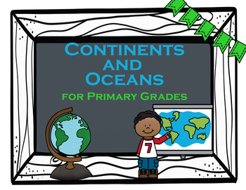
Continents and Oceans
Geography Basics - Continents and Oceans for Primary GradesThis file includes 9 PowerPoint Slides that can be used during whole group instruction or each slide can be printed off for individual practice/homework. Use the slides on an ActivBoard and create an interactive engaging experience for your students.Each slide includes a different activity to differentiate learning and give students and teachers variety. Slides include:1. Color each Continent a different color with Continent names incl
Grades:
K - 2nd
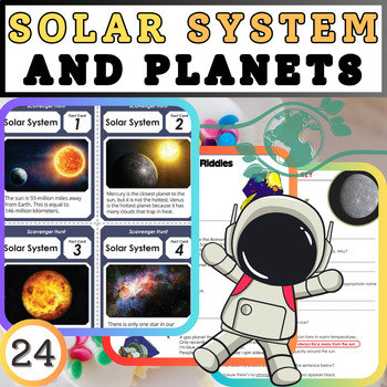
Exploring the Cosmic Classroom: Solar System and Planets Worksheets
Embark on an interstellar journey with our comprehensive worksheets designed to explore the wonders of the solar system and its fascinating planets. Engage students with captivating activities that delve into the realms of astronomy, physics, and space exploration. From the scorching inferno of Mercury to the icy expanse of Neptune, each worksheet offers a unique opportunity to discover the characteristics, composition, and mysteries of celestial bodies.Key Features:Interactive Learning: Dive in
Subjects:
Grades:
K - 5th
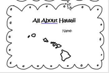
All About Hawaii State Book and Powerpoint
Explore the state of Hawaii with a student booklet and corresponding Power Point. Students will learn interesting facts about Hawaii through the colorful and interesting Power Point and then will be able to transfer their new knowledge to a booklet of their own.
Grades:
K - 2nd
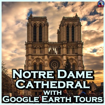
Notre Dame Cathedral with Google Earth Tours
Tour Notre Dame de Paris Cathedral with Google Earth ToursMake a virtual field trip to Notre Dame Cathedral, one of the world’s most famous landmarks. You will be using Google Earth to watch a pre-recorded tour of the famous church located in the heart of Paris. Learn all about Notre Dame of Paris and its neighboring structures. The trip lasts for 4 minutes and 20 seconds.Making cameo appearances on the trip are the Arc de Triomphe, the Eiffel Tower and the Louvre, to name just a few.The prod
Grades:
K - 5th
Also included in: Famous European Landmarks with Google Earth Tours (Bundle)
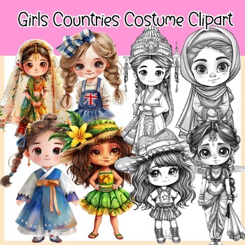
Girls Countries Costume and Flags Clipart (30 Countries )
Girls Countries Costume and Flags Clipart (30 Countries )This clipart set features cute and adorable girls wearing costumes from different countries. It comes in both color and BW versions and includes flags in color and BW. In total 120 PNG image files with transparent backgrounds.30 Countries United States (USA) Canada United Kingdom ( England) Australia FranceGermany Italy Spain Japan China India Brazil Mexico South Africa Russia16. Egypt 17. Argentina 18. Greece 19. South Korea 20. New Zeal
Grades:
PreK - 6th, Staff
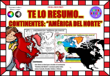
FICHA RESUMEN - Te lo Resumo... "América del Norte" (IMPRIMIBLES) |GEOGRAFÍA|
A sus estudiantes les encantará esta ficha resumen sobre "Los Continentes: América del Norte". Esta hoja incluye pequeños datos del hombre de: Canadá, Estados Unidos y México. Esta hoja resumen es perfecta para revisión, una actividad rápida, un proyecto de investigación, un organizador gráfico, centros, proyectos de toda la clase o proyectos de equipo. Los estudiantes pueden divertirse mientras aprenden todo sobre el continente de América del Norte. ¡Esta hoja resumen es perfecta para presentar
Grades:
PreK - 11th, Higher Education, Adult Education
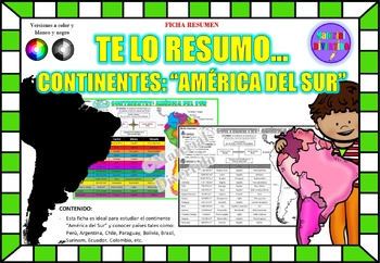
FICHA RESUMEN - Te lo Resumo... "América del Sur" (IMPRIMIBLES) |GEOGRAFÍA|
A sus estudiantes les encantará esta ficha resumen sobre "Los Continentes: América del Sur". Esta hoja incluye pequeños datos del hombre de: Perú, Chile, Argentina, Brasil, Paraguay, Venezuela, etc. Esta hoja resumen es perfecta para revisión, una actividad rápida, un proyecto de investigación, un organizador gráfico, centros, proyectos de toda la clase o proyectos de equipo. Los estudiantes pueden divertirse mientras aprenden todo sobre el continente de América del Sur. ¡Esta hoja resumen es pe
Grades:
PreK - 12th, Higher Education, Adult Education
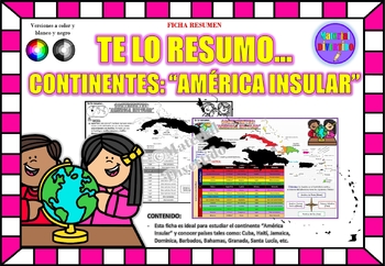
FICHA RESUMEN - Te lo Resumo... "América Insular" (IMPRIMIBLES) |GEOGRAFÍA|
A sus estudiantes les encantará esta ficha resumen sobre "Los Continentes: América Insular (Antillas)". Esta hoja incluye pequeños datos del hombre de: Cuba, Haití, Jamaica, Dominica, Barbados, Bahamas, Granada, Santa Lucía, etc. Esta hoja resumen es perfecta para revisión, una actividad rápida, un proyecto de investigación, un organizador gráfico, centros, proyectos de toda la clase o proyectos de equipo. Los estudiantes pueden divertirse mientras aprenden todo sobre el continente de América In
Grades:
PreK - 12th, Higher Education, Adult Education
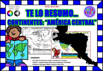
FICHA RESUMEN - Te lo Resumo... "América Central" (IMPRIMIBLES) |GEOGRAFÍA|
A sus estudiantes les encantará esta ficha resumen sobre "Los Continentes: América Central". Esta hoja incluye pequeños datos del hombre de: Guatemala, El Salvador, Honduras, Nicaragua, Belice, Panamá y Costa Rica. Esta hoja resumen es perfecta para revisión, una actividad rápida, un proyecto de investigación, un organizador gráfico, centros, proyectos de toda la clase o proyectos de equipo. Los estudiantes pueden divertirse mientras aprenden todo sobre el continente de América Central. ¡Esta ho
Grades:
PreK - 12th, Higher Education, Adult Education
Different Types of Communities
This Activ Board flipchart for Promethean Board explores the different types of communities: rural, suburban, and city. The students are presented with a motivating introduction slide, then transitioned into the lesson. They are given the lesson objectives along with the vocabulary terms and definitions of "community", "rural", "city", and "suburb." Next, they are presented with slides for each type of community, giving them pictures and descriptions of each type. Next, a link is provided fo
Subjects:
Grades:
K - 2nd
Types:
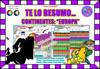
FICHA RESUMEN - Te lo Resumo... "Europa" (IMPRIMIBLES) |GEOGRAFÍA|
A sus estudiantes les encantará esta ficha resumen sobre "Los Continentes: Europa". Esta hoja incluye pequeños datos del hombre de: Albania, Alemania, Bélgica, Croacia, Francia, Italia, etc. Esta hoja resumen es perfecta para revisión, una actividad rápida, un proyecto de investigación, un organizador gráfico, centros, proyectos de toda la clase o proyectos de equipo. Los estudiantes pueden divertirse mientras aprenden todo sobre el continente de Europa. ¡Esta hoja resumen es perfecta para prese
Grades:
PreK - 12th, Higher Education, Adult Education
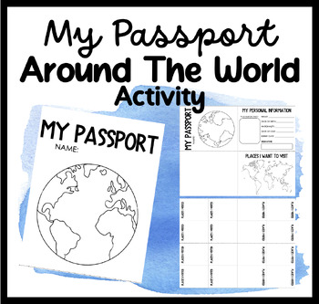
My Passport | Around The World Activity | Places I Want To Go & Visit
Embark on a Global Adventure with Our Student Passport Activity!Are you ready to take your students on an exciting journey around the world? Introducing our Student Passport Activity, where students can create their very own passports, explore different countries, and experience the wonders of the world right in your classroom!Why Choose Our Student Passport Activity?Personalized Passport Creation: Our activity allows students to unleash their creativity by designing and customizing their own pa
Grades:
PreK - 12th, Higher Education, Adult Education, Staff
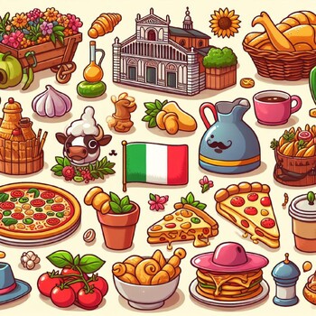
Discover Italy with this engaging coloring page Includes famous Italian landmark
“Italy, cultural symbols, coloring page, Colosseum, Leaning Tower of Pisa, Venice”coloring pages winter january animals bundle“Discover Italy with this engaging coloring page. Includes famous Italian landmarks such as the Colosseum, the Leaning Tower of Pisa, and the canals of Venice.”
Subjects:
Grades:
PreK - 3rd
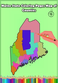
Maine State Coloring Pages Map of Counties Highlighting Rivers Lakes Cities
Click Here>>> for more interactive resourcesMaine State Coloring Pages Map of Counties Highlighting Rivers Lakes CitiesOpen your mind to Maine colorful adventure with these exciting coloring pages! Explore and bring each Maine county to life with these detailed and engaging illustrations. Each page offers a unique opportunity to explore Alabama's geography, highlighting its rivers, lakes, and key towns.These coloring pages are ideal for anyone interested in discovering the beauty and ge
Grades:
PreK - 12th, Higher Education
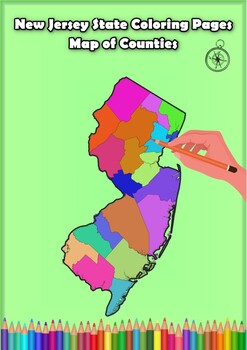
New Jersey State Coloring Pages Map of Counties Highlighting Rivers Lakes Cities
Click Here>>> for more interactive resourcesNew Jersey State Coloring Pages Map of Counties Highlighting Rivers Lakes CitiesOpen your mind to New Jersey colorful adventure with these exciting coloring pages! Explore and bring each New Jersey county to life with these detailed and engaging illustrations. Each page offers a unique opportunity to explore Alabama's geography, highlighting its rivers, lakes, and key towns.These coloring pages are ideal for anyone interested in discovering th
Grades:
PreK - 12th, Higher Education
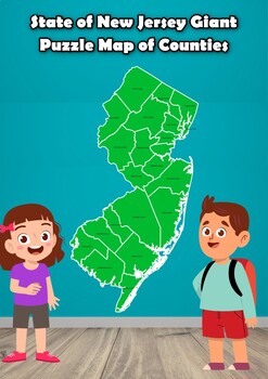
State of New Jersey Giant Puzzle Map of Counties
State of New Jersey Giant Puzzle Map of CountiesStudents engage in an exciting puzzle activity to create a massive map of the state of New Jersey. Through this hands-on experience, students discover all the counties in New Jersey in a fun and engaging way and learn how they fit together.In this project, students must recognize the distinct shapes of each county and carefully arrange them to construct a vast map suitable for wall display.This activity promotes the development of spatial awarenes
Grades:
PreK - 7th
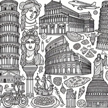
Discover Italy with this engaging coloring page Includes famous Italian landmark
“Italy, cultural symbols, coloring page, Colosseum, Leaning Tower of Pisa, Venice”“Discover Italy with this engaging coloring page. Includes famous Italian landmarks such as the Colosseum, the Leaning Tower of Pisa, and the canals of Venice.”
Subjects:
Grades:
PreK - 3rd
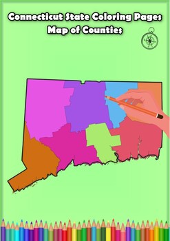
Connecticut State Coloring Pages Map of Counties Highlighting Rivers Lakes Citie
Click Here>>> for more interactive resourcesConnecticut State Coloring Pages Map of Counties Highlighting Rivers Lakes CitiesOpen your mind to Connecticut colorful adventure with these exciting coloring pages! Explore and bring each Connecticut county to life with these detailed and engaging illustrations. Each page offers a unique opportunity to explore Alabama's geography, highlighting its rivers, lakes, and key towns.These coloring pages are ideal for anyone interested in discovering
Subjects:
Grades:
PreK - 12th, Higher Education
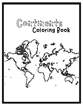
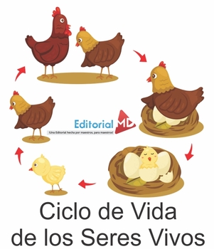
El Ciclo de Vida de los Seres Vivos -- The Life Cycle of Living Beings
El Ciclo de Vida de los Seres Vivos, en nuestro planeta hay una gran variedad de seres vivos, algunos muy grandes y altos, los seres vivos son los que tienen vida, esto quiere decir, que son toda la variedad de seres que habitan nuestro planeta, desde los más pequeños hasta los más grandes, todas las plantas, animales e incluso nosotros los seres humanos. En la naturaleza existen objetos inertes, como las rocas, el aire o el viento, y seres vivos, como las personas, los animales y las plantas..C
Subjects:
Grades:
PreK - 5th
Types:
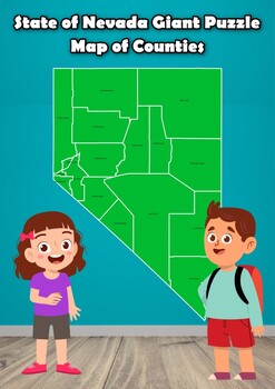
State of Nevada Giant Puzzle Map of Counties
State of Nevada Giant Puzzle Map of CountiesStudents engage in an exciting puzzle activity to create a massive map of the state of Nevada. Through this hands-on experience, students discover all the counties in Nevada in a fun and engaging way and learn how they fit together.In this project, students must recognize the distinct shapes of each county and carefully arrange them to construct a vast map suitable for wall display.This activity promotes the development of spatial awareness concerning
Grades:
PreK - 8th
Showing 1-24 of 76 results


