187 results
High school geography webquests for Google Apps
Explore Weathering and Erosion with a Google Maps Virtual Field Trip
All links verified working Feb 2024Click around this Google Maps Street View field trip to explore locations that showcase the process of weathering and erosion! This activity provides you with a link-embedded reading passage / response sheet to distribute to students. The reading gives students information about each of the following processes of weathering: mechanical (wind, moving water, glacial, ocean waves, ice wedging, organic weathering) and chemical (oxidation, carbonation, organic).Ther
Subjects:
Grades:
4th - 12th
Types:
Plate Tectonics Volcanoes In the Ring of Fire Activity Webquest
GOOGLE DOCS AND PRINT VERSION INCLUDED! In this FUN plate tectonics activity, students find REAL data about 3 volcanoes in the Ring of Fire. The worksheet provides a structured format for students to get the most out of the Global Volcanism Program’s interactive, an up-to-date map of volcanoes throughout the world. Students are engaged because they choose the volcanos they research during the webquest.This webquest covers the following:The relationship between tectonic plate boundaries and vo
Subjects:
Grades:
7th - 9th
Types:
NGSS:
MS-ESS3-2
, HS-ESS3-1
Also included in: Plate Tectonics Activity Webquests BUNDLE Ring of Fire and US Volcanoes
Explore the Ocean Floor with Google Maps
Updated March 2023 to ensure all links workClick around this Google Maps activity to explore the following features of the ocean floor:Shallow Bays and EstuariesContinental ShelfContinental SlopeContinental RiseAbyssal PlainMid-Ocean RidgeOcean TrenchVolcanic IslandsEach feature of the ocean floor has a short informational paragraph, 1-3 links to that feature in Google Maps, and a question that asks students to analyze the feature / link. Example links from the passage:Continental ShelfOcean Tre
Subjects:
Grades:
5th - 9th
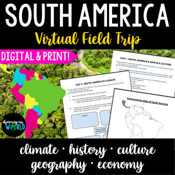
South America Geography Virtual Field Trip
A WEEK-long, NO prep virtual field trip of South America! Students will explore the geography, culture, history, climate, environment, and economy of South America through articles, maps, images and videos. Students will also create their own maps. What You Get➔ A PDF, Google & Word version of the following:❶ South America's People & Culture Webquest ❷ South America's Physical Geography Webquest ❸ South America's Climate Webquest with Graphic Organizer❹ South America's Environment &
Subjects:
Grades:
5th - 9th
Types:
Also included in: South America Geography & World Cultures Unit Bundle
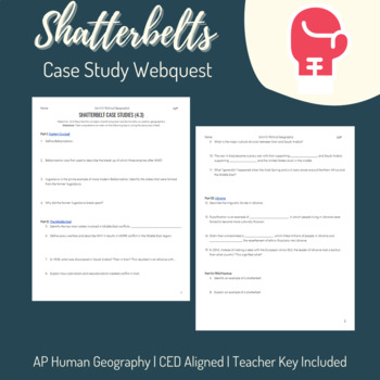
Shatterbelts Case Studies - AP Human Geography - Unit 4: Political Geography
AP Human Geography Topics Covered:4.3 Political Power & Territoriality This "webquest" type activity includes three case studies for Shatterbelts. Students use a single resource for each case study (one article, two videos) to answer high-level analysis questions. Finally, two prompts are provided for students to practice their FRQ skills. Eastern Europe/The Balkans/YugoslaviaThe Middle East Ukraine Teacher answer key included.
Grades:
9th - 12th
Types:
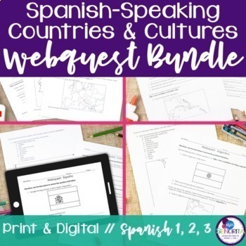
Spanish-speaking Countries and Cultures Webquest Internet Activity Bundle
This is a bundle of webquests designed to help students learn more about the history, geography, food, attractions, and culture of all 21 Spanish-speaking countries. All webquests are in English and they include both paper and digital versions. Countries include:ArgentinaBoliviaChileColombiaCosta RicaCubaDominican RepublicEcuadorEl SalvadorEquatorial GuineaGuatemalaHondurasMexicoNicaraguaPanamaParaguayPeruPuerto RicoSpainUruguayVenezuelaAn answer key and teacher's guide are included for each web
Subjects:
Grades:
7th - 10th
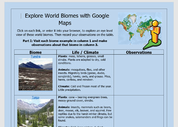
Explore Terrestrial Biomes with Google Maps Street View
*Updated March 2023 to ensure all links work. Explore the 7 world biomes with this interactive virtual field trip. This resource provides students with a link embedded document (Word and Google Doc versions included) that covers 7 terrestrial biomes: tundra, taiga, temperate deciduous forest, tropical rain forest, temperate rain forest, desert, and grasslands. Part 1 asks students to visit each biome via a link and record their observations. Part II contains 14 links and asks students to use the
Subjects:
Grades:
4th - 12th
Model United Nations Country Research: Google Drive Resource
Introduce your students to being a Model UN delegate with this introduction and country research assignment! Students will learn what it means to be a delegate for the UN before selecting their country to represent. Before choosing, students can read a brief introduction to each country in order to make their choice. After selecting their country, students will engage in research in order to understand their country from the perspective of a UN delegate.Students will research their country’s:Geo
Grades:
6th - 9th
Types:
Intro to Canada Webquest
Are you starting a unit on Canada? Begin with this FREE webquest! This webquest is a great 1-day intro activity into learning about Canada. This is also great for sub plans.You will receive a PDF, Word, and Google Doc version of the student sheet and the answer key.Check out my other webquests!
Grades:
5th - 9th
Also included in: Middle School World Cultures & Geography Course
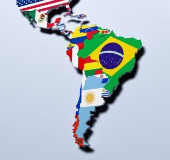
Google Earth - Tour of Latin America
Have you ever wanted to take your students on a field trip, but without all the hassle? Have you ever wanted to take your students to the place you were studying so they could see it with their own eyes?! Well now you can with Google Earth. This resource will take your students on a virtual field trip of the physical geography of Europe as well as give your students questions to answer throughout their trip. Trust me, this is a resource that you want for your classroom.This resource explores the
Subjects:
Grades:
7th - 10th
Types:
Spanish-Speaking Countries Geography Research
This Webquest was created to give students a basic understanding of where Spanish is spoken in the world. It took my students about 15 minutes to complete. It also includes links to geography games and videos for those fast-finishers. Students can complete this activity through Google Docs or it can be printed and completed by hand. Websites are in English, so this is Ideal for beginning students. Questions are in both English and Spanish but can be edited for your students's needs. The answer
Subjects:
Grades:
5th - 9th
Types:
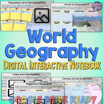
Introduction to World Geography Digital Interactive Notebook Activities
This Introduction to World Geography digital interactive notebook features 15 fully-editable pages of activities on Geography for Google Drive.Topics covered include: What is Geography?The 5 Themes of GeographyMaps & Map ReadingRegionsLandforms & Plate TectonicsOceans & Water SystemsPopulation and DemographicsDeveloped vs Developing NationsCultureForms of GovernmentEconomic SystemsVocabulary activities and more! There are links to online readings (with audio accommodation available)
Australia Geography Unit Bundle
An ENTIRE unit on Australia for middle grades. This unit explores the physical and political geography, indigenous peoples, European colonization, conflicts with colonization and current economies, governments, and cultures.This bundle includes assessments, processing activities, web-quests and graphic organizers, AND MORE. All documents are available DIGITAL & PRINT!This bundle includes:Australia Country Profile Mini-Unit→27 slide presentation (in Google™ & PowerPoint versions) covering
Subjects:
Grades:
6th - 9th
Types:
Australia Webquests Lesson Bundle
Get your kids thinking while learning about the geography, climate, vegetation, government and economy of Australia. This product will push your kids to look for patterns in maps and data, along with learn about Australia. Students will examine the influence of climate, weather and seasons, and vegetation on human populations. They will also analyze human-environment interactions, interpret maps and look for patterns NCSS themes are addressed in this product. This is also great for sub plans.You
Subjects:
Grades:
5th - 9th
Types:
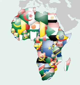
Google Earth - Tour of Africa
Have you ever wanted to take your students on a field trip, but without all the hassle? Have you ever wanted to take your students to the place you were studying so they could see it with their own eyes?! Well now you can with Google Earth. This resource will take your students on a virtual field trip as well as give them questions to answer throughout their trip. Trust me, this is a resource that you want for your classroom.This resource explores the physical geography of Africa. Specific desti
Grades:
7th - 10th
Types:
My Watershed Activity
This activity has students use the EPA's How's My Waterway? website to explore the health of their local watershed. This is a good follow up to learning about watersheds and watershed pollution.This document is formatted for online distribution with spaces for students to type answers in.
Subjects:
Grades:
6th - 12th
Types:
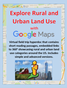
Explore Rural and Urban Land Use with Google Maps Street View
This virtual field trip asks students to read about and identify rural and urban land use with Google Maps 360 degree street view photos.*All links verified active and working on 3/20/24This activity is differentiated and includes simple and advanced versions. The simple version contains a table describing rural and urban land uses, with links to several examples in Google Maps. Students view the examples and make observations about rural and urban environments. Then students are given 12 links
Subjects:
Grades:
4th - 10th
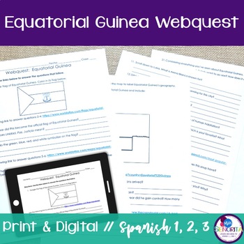
Country and Culture Webquest internet activity - Equatorial Guinea print digital
This country webquest is designed to help students learn more about the history, geography, food, and culture of Equatorial Guinea. All questions are in English. An answer key and teacher's guide are included.Students are directed to a variety of different websites in order to learn about:the flag of Equatorial Guineawhere Equatorial Guinea is in Africathe geography of Equatorial Guineatypical foods of Equatorial Guineatourist attractionsStudents should complete this webquest with a sense of des
Subjects:
Grades:
7th - 10th
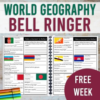
World Geography Bell Ringer: FREE WEEK (Print & Digital)
This resource contains a one week sample (with answer key!) of the World Geography Bell Ringer. Your students will use the internet to research and fill in facts about a new country each day of the week. This resource is designed to be used as a daily warm-up or for early finishers. However, this could also be used as a station activity and completed in one sitting. This sample also includes a research tip sheet with website links for your students to access facts and data. Your students will us
Grades:
7th - 10th
Types:
CCSS:
Volcano Activity ACTIVE Volcanoes of the United States Plate Tectonics Webquest
GOOGLE DOCS AND PRINT VERSION INCLUDED! In this FUN plate tectonics activity, students find REAL data about ACTIVE volcanoes in the United States.The worksheet provides a structured format for students to get the most out of the U.S. Geological Society's website, an up-to-date interactive map of ACTIVE volcanoes in the United States. Students are engaged because they choose the volcanoes they research during the webquest.This webquest covers the following:The relationship between tectonic plate
Subjects:
Grades:
6th - 9th
NGSS:
MS-ESS2-2
Also included in: Plate Tectonics Activity Webquests BUNDLE Ring of Fire and US Volcanoes

Virtual Field Trip Template English
This interactive, virtual field trip template is in English, so it is perfect for any class. You can use it for distance learning, socially-distant learning in the classroom, or in-person project-based learning. Allow your students to choose any country or city that they want to virtually travel to as they complete the virtual field trip template. They will take pictures and write descriptions of their virtual trip on this fun Google Slides template.Perfect for ANY world language class or ANY
Subjects:
Grades:
8th - 11th
Also included in: Virtual Field Trip Bundle ENGLISH
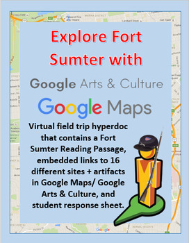
Explore Fort Sumter with a Google Maps Street View
Click around this Google Maps / Google Arts and Culture webquest / virtual field trip / hyperdoc to explore Fort Sumter and the first battle of the Civil War. This resource includes a 1 page reading passage that covers the history of Fort Sumter and an account of the first battle.
-Reading passage / student response sheet- Print it or distribute digitally. 16 links to 360 degree views of Fort Sumter and primary source illustrations from Google Arts & Culture are embedded throughout the rea
Grades:
5th - 10th
Types:
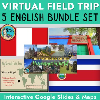
Virtual Field Trip Bundle ENGLISH
These 5 interactive, virtual field trips in ENGLISH take students to a variety of locations. Students will complete interactive Google Slides and jump into a 360 map on Google Tour Builder! Incorporate culture and fun with virtual field trips for kids!Trips include:7 Wonders of the Hispanic WorldPeru - Sacred Valley & Machu PicchuCosta RicaFrida Kahlo's Blue House (Museum)Template to ANY country - student choice!You can use these for distance learning, socially-distant learning in the classr
Subjects:
Grades:
8th - 11th
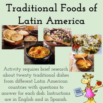
Traditional Food Dishes of Latin America (Traditional Foods)
This activity requires students to complete brief research about 20 traditional food dishes from different Latin American countries. For each dish, students will answer 4 questions. At the end of the activity, students will add one country's dish to the list and answer a few reflection questions. Instructions are in English and Spanish. A video explaining the dish accompanies each page.I use this activity in my Latin American Studies class, but this could also be used during World History, Geogr
Subjects:
Grades:
8th - 12th
Types:
Also included in: Latin American Studies Growing Bundle (30% Savings)
Showing 1-24 of 187 results


