4,105 results
3rd grade geography lessons by TpT sellers for TpT sellers
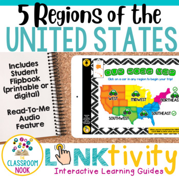
5 Regions of the United States LINKtivity® (Geography, Climate, Landforms, MORE)
Take your students on an exciting virtual road trip through the five regions of the United States with our digital LINKtivity® Interactive Learning guide! Our interactive guide offers a fun and engaging way for students to explore each region's climate, landforms, bodies of water, and popular tourist destinations.Designed for upper elementary classrooms, our easy-to-navigate digital guide requires minimal teacher prep and is entirely student-controlled, allowing for self-paced learning. With a v
Social Studies Lessons | PowerPoint & Google Slides | BUNDLE
It's so hard to squeeze dedicated social studies lessons into our already jam-packed schedules. These short, no-prep, paperless mini-lessons will help you facilitate deep conversations about important topics. Bite-Size Social Studies is perfect for distance learning or remote learning. A paperless, no-prep, narrated version of these lessons will be added, so even the youngest students can learn independently. Send the files home via your chosen platform (Google Classroom, SeeSaw, etc).Each slide
Subjects:
Grades:
K - 3rd
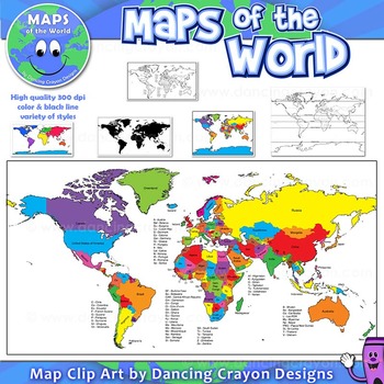
Maps of the World: Clip Art World Maps
Maps of the World: Clip Art World Maps
High quality color and black and white maps of the world.
This clipart map set contains the following commercial use graphics:
- Color maps of the world
- Black and white line art maps of the world
- Maps of the world with lines of latitude and without lines of latitude
- Maps of the world with larger countries labelled (color and black and white)
- Silhouette maps of the world
- A map of the world showing seven continents in color and black and white:
Grades:
3rd - 12th, Higher Education, Adult Education, Staff
Also included in: Maps of the World Clip Art - MEGA-BUNDLE
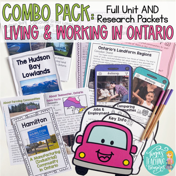
Living and Working in Ontario Grade 3 Unit & Research Resource Combo Pack 2023
NOW UPDATED for the new 2023 Social Studies Curriculum! Grade 3 Ontario Social Studies materials ready to roll! Get the full unit and research items together in this money saving bundle! Enjoy inquiry ideas, fun activities, and age appropriate reading materials for your students! This combo pack has everything you need to master the 2020 Ontario Social Studies Curriculum! COMBO PACK!! Get both the unit and the resource pack together and SAVE! Be ready for the new Ontario Social Studies Curriculu
Subjects:
Grades:
3rd
Types:
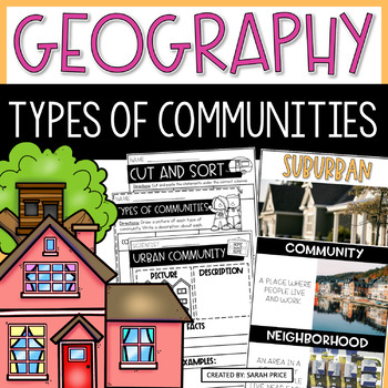
2nd & 3rd Grade Geography - Types of Communities Social Studies Activities
Teaching 2nd and 3rd grade students about the different types of communities is fun and exciting with these activities and worksheets! This social studies resource contains easy-to-follow lessons to help you teach your class about the different characteristics of communities in the U.S. Cover a variety of geography topics as your students will learn about the population, transportation, and homes in urban, suburban, and rural communities. This product includes lesson plans, foldables, activities
Subjects:
Grades:
2nd - 3rd
Types:
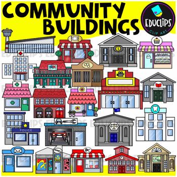
Community Buildings Clip Art Set {Educlips Clipart}
This is a set of buildings commonly found in the community. The buildings included in this set are: airportbakerybankcourthousedentistfirehousefloristgalleryhospitaljaillibrarymovie theatermuseumpharmacy or medical centerpolice stationpost officerepair shoprestaurantsalonschooltheaterThis set contains all of the images shown.42 images. (21 images in color and the same 21 images in B&W.)This set has been completely updated on 6/11/23Images saved at 300dpi in PNG files.For personal or commerci
Subjects:
Grades:
PreK - 6th
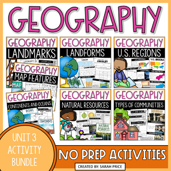
Geography Unit 2nd Grade Social Studies Interactive Notebook Worksheets Bundle
This Geography Unit 2nd Grade Social Studies Interactive Notebook resource is a bundle of 7 2nd grade social studies activity packs that include pre-made lesson plans and easy to use activities to help you teach your students about geography! This resource focuses on landmarks, maps, continents, oceans, land forms, natural resources, as well as US regions and types of communities. These social studies interactive notebook activities will teach 2nd grade social studies standards such as the sign
Grades:
2nd - 4th
Types:
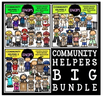
Community Helpers Clip Art Big Bundle {Educlips Clipart}
The sets in this collection were originally published in 2015. They have been consolidated into this one collection for convenience. Please don't purchase this if you already purchased any of the community helper sets.The images in each set are:Community Helpers 1businessman, business woman, farmer, fisherman, ranger, lifeguard, construction worker, waiter, ski guide, tour guide, waitress, oil workerCommunity Helpers 2detective, nurse, firefighter, doctor, mailman, garbage collector, crossing gu
Subjects:
Grades:
PreK - 5th, Staff
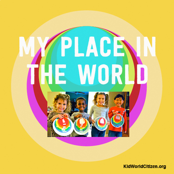
My Place in the World Project: "Me on the Map" Geography for Kids
This hands-on geography project "My Place in the World" has kids create a visual representation of how we fit into the world. Teachers often use it with the kids' geography book "Me on the Map," by Joan Sweeney. Ideal for integrated Social Studies, ELA, Geography, Literacy, and Map Skills.Using a series of nesting circles to show the relative sizes of different geographic places, this simple but effective geography lesson helps kids sort out their relation to one another. This activity includes
Grades:
K - 5th
Also included in: Geography for Kids Bundle: Three Essential Hands-on Activities
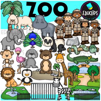
Zoo Clip Art Set {Educlips Clipart}
This is a set of zoo images.This set conatains all of the images shown on the product cover as well as B&W versions.The images in this set are:brown bearflamingopolar bearelephantpeacocksea lionpandasnakemonkeylionzebrapenguingiraffecrocodilerockenclosurescagetreezoo entrancezookeepersrailings58 images (29 in color and the same 29 in B&WThis set has been fully updated. All of the older images are included in this download.This set contains all of the images shown.Images saved at 300dpi i
Subjects:
Grades:
PreK - 6th, Staff
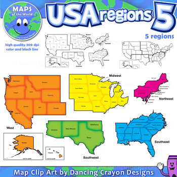
Regions of the USA: Five Regions - Map Clip Art
Regions of the USA: Five Regions - Map Clip Art
.............................................................................................
Please check the regions in this set before purchase. We offer a choice of THREE different US Region Map Sets:
USA divided into FOUR regions / NINE divisions (as set out by the United States Census Bureau)
USA divided into FOUR regions / TEN divisions (as taught in some states)
Please read on for more information about THIS region set:
............
Grades:
3rd - 12th, Staff
Also included in: Maps of the World Clip Art - MEGA-BUNDLE
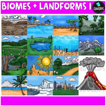
Biomes And Landforms Backgrounds 1 Clip Art Set {Educlips Clipart}
This is a collection of biomes and landform images.Scenes include: Arctic, beach, city, countryside, desert, forest, mountains, ocean, pond, prairie, rainforest, savanna, tropics, tundra, and volcano.CLICK HERE FOR BIOMES AND LANDFORMS 230 images (15 in color and the same 15 in B&W)Images saved at 300dpi in PNG files.For personal or commercial use.CLICK HERE for TERMS OF USEThis is a zip file. Before purchasing, please check that you are able to open zip files and ensure that your zip openin
Subjects:
Grades:
PreK - 6th, Staff
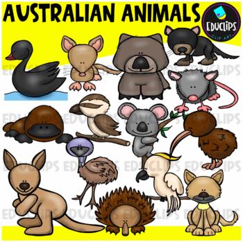
Australian Animals Clip Art Set {Educlips Clipart}
This set contains all of the images shown: animals found in Australia - bandicoot, black swan, cockatoo, dingo, echidna, emu, kangaroo, kiwi, koala, kookaburra, platypus, possum, tasmanian devil, wombat.14 images in color and the same 14 images in B&W.Images saved at 300dpi in PNG files.For personal or commercial use.CLICK HERE for TERMS OF USEThis is a zip file. Before purchasing, please check that you are able to open zip files and ensure that your zip opening software is updated.©Educlips
Subjects:
Grades:
PreK - 6th, Staff
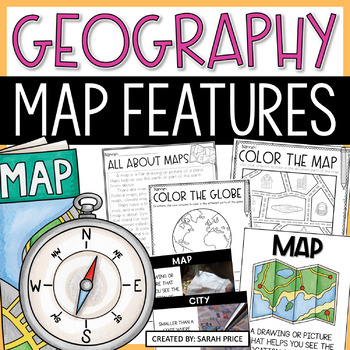
2nd Grade Map Skills and Map Features Worksheets | Reading a Map Activities
Map skills and map features will come to life in your classroom with these 2nd grade map skills hands-on activities! This map features resource includes lesson plans, foldables, map skills worksheets, vocabulary, materials for early finishers, homework suggestions, and MORE. Students will learn about reading a map as well as map features and will even get the chance to create their own maps! ⭐ Want more help teaching geography? Grab this Geography Interactive Notebook Activities Bundle! ⭐Your cl
Subjects:
Grades:
2nd - 3rd
Types:
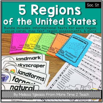
Regions of the United States Bundle: Info. Text Booklet, Vocab. Cards & Assess
Help your students learn all about the 5 REGIONS OF THE UNITED STATES WEST REGION (Colorado, Idaho, Montana, Nevada, Utah, Wyoming, California, Oregon, Washington, Alaska, and Hawaii)MIDWEST REGION (Iowa, Kansas, Missouri, Nebraska, North Dakota, South Dakota, Illinois, Indiana, Michigan, Minnesota, Ohio, and Wisconsin) SOUTHWEST REGION (Arizona, New Mexico, Oklahoma, and Texas)NORTHEAST REGION (Connecticut, Maine, Massachusetts, New Hampshire, Rhode Island, Vermont, Delaware, Maryland, New Jers
Grades:
2nd - 4th
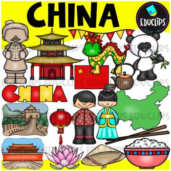
China Clip Art Set {Educlips Clipart}
This is a collection of China images.The images included in this set are: flag, map, boy, girl,panda, house, lantern, hat, lotus flower, rice, chopsticks, green tea, Great Wall, terracotta soldier, Chinese dragon, Tiananmen Square and word art sign.34 images (17 in color and the same 17 in B&W)This set contains all of the images shown.Images saved at 300dpi in PNG files.For personal or commercial use.Download preview for TOU.This is a zip file. Before purchasing, please check that you are ab
Grades:
PreK - 6th, Staff
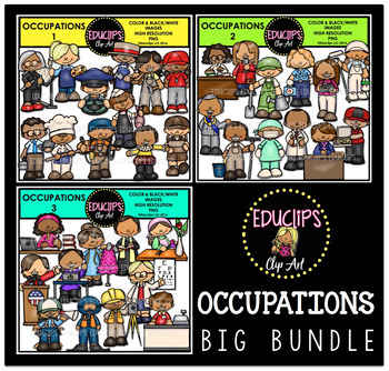
Occupations Clip Art Big Bundle {Educlips Clipart}
This is a collection of 3 sets of the jobs people do and community workers.The images in each set are:OCCUPATIONS1architect, artist, bus driver, butcher, carpenter, coach, computer technician, baker, electrician, fishmonger, actor, delivery worker.OCCUPATIONS2librarian, reporter, gardener, paramedic, photographer, painter, mayor, window washer, surgeon, pharmacist, principal, pizza delivery worker.OCCUPATIONS3author, designer, priest, florist, president, secretary, optometrist, film director, di
Subjects:
Grades:
PreK - 5th, Staff
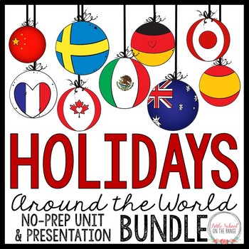
Holidays Around the World / Christmas Around the World BUNDLE
Holidays Around the World / Christmas Around the World BUNDLE - Completely revised with new activities for the new school year! This bundle contains the complete no-prep unit as well as the presentation. This bundle covers the holiday traditions of the following 12 countries:• Australia• Canada• China• France• Germany• Greece• Italy• Japan• Mexico• Spain• Sweden• United StatesActivities included in the complete unit:• Fact cards for each country (color and black and white)• Pictures and instruct
Grades:
2nd - 4th
Types:
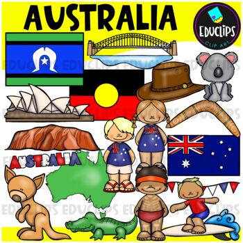
Australia Clip Art Set {Educlips Clipart}
This is a collection of Australia images.The images included in this set are: flag, map, boy, girl, bunting, kangaroo, koala, hat, boomerang, crocodile, surfer, Aboriginal boy, Sydney Harbor Bridge, Opera House, Ayers Rock and word art sign.Torres Strait & Aboriginal flags have been added to this set.36 images (18 in color and the same 18 in B&W)This set contains all of the images shown.Images saved at 300dpi in PNG files.For personal or commercial use.CLICK HERE for TERMS OF USEThis is
Grades:
PreK - 6th, Staff
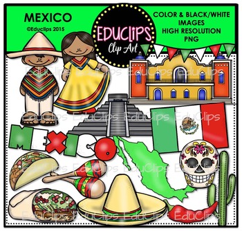
Mexico Clip Art Bundle {Educlips Clipart}
This is a collection of Mexico images.Images include: boy, girl, bunting (flag colors), flag, map, Chichen Itza, taco, burrito, Day Of The Dead skull, chili, villa, sombrero, maracas, cactus. 30 images (15 in color and the same 15 in B&W)This set contains all of the images shown.Images saved at 300dpi in PNG files.For personal or commercial use.Download preview for TOU.This is a zip file. Before purchasing, please check that you are able to open zip files and ensure that your zip opening sof
Grades:
PreK - 5th, Staff
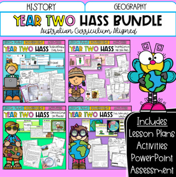
Year Two HASS Bundle | Australian Curriculum | History & Geography
This bundle includes all of your Year Two HASS planning for the entire year! These four units explore technology over time, important places, geographical skills and more! Featuring detailed lesson plans, PowerPoint slides, activity sheets and optional assessment; it has everything you need!What's included?Technology Over TimeTechnology Over Time PowerPoint 120 + slides.Vocabulary warm-up slidesActivity slides linked to each lesson plan. 10 x Detailed Lesson Plans: Includes learning intentions.D
Grades:
1st - 3rd
Maps of the World Clip Art - MEGA-BUNDLE
Maps of the World - MEGA-BUNDLEMEGA VALUE: Comprehensive collection of clip art maps and countries of the world - 380 images!COMPREHENSIVE:Hundreds of graphics spanning numerous countries and regions of the world. See below for the list of countries included. CONVENIENT and PRACTICAL:All the maps and world graphics you need for making teaching resources, worksheets, school projects, and more - all at your fingertips when you need them. Both color and black and white resources for all your dif
Grades:
3rd - 12th, Staff
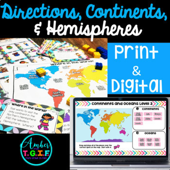
Map Skills | Directions, Continents, Oceans Hemispheres DIGITAL PRINT Bundle
Have a great time learning and practicing map skills with directions, continents, oceans, and hemispheres, and tie it all together with tons of worksheets, a game, practice with 3 match-up centers, review with a crossword puzzle, and complete it with a test. Here is what is included:Activity Sheets (not your typical worksheets) all with answer keys: * 10 pages and 10 answer keys * Some sheets are cut and paste or coloring * Continents and Oceans * Directions * Equator,
Grades:
2nd - 4th
Types:
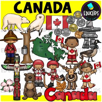
Canada Clip Art Set {Educlips Clipart}
This is a set of images connected with CanadaThe images included in this set are: polar bear, Canada penny, Mountie , Canadian flag, hockey boy, hockey girl, Totem poll, Maple Leaf, caribou, Canada Goose, beaver, snowy owl, Inukshuk, Canada boy, Canada girl, 5 cents, dogwood flower, Dollar, quarter, syrup spout, two dollars, 50 cents.46 images (23 images in color and the same 23 images in B&W)Images saved at 300dpi in PNG files.For personal or commercial use.CLICK HERE for TERMS OF USEThis
Grades:
PreK - 6th, Staff
Showing 1-24 of 4,105 results


