TPT
Total:
$0.00

Subjects

Arts & Music
English Language Arts
Foreign Language
Holidays/Seasonal
Math
Science
Social Studies - History
Specialty
For All Subject Areas
12,000+ results

6th grade social studies independent work packets by TpT sellers for TpT sellers
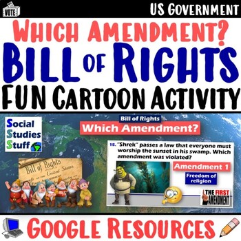
Preview of The Bill of Rights Practice Activity | US Amendments in Cartoons | Google
The Bill of Rights Practice Activity | US Amendments in Cartoons | Google

This fun “Which Amendment?” activity challenges your students to figure out which amendment is violated in 15 cartoon scenarios by referencing the Bill of Rights. The silly connections engage your classes while they explore their basic rights as Americans! My students always love this activity. There are 2 versions so you can easily differentiate learning in your classroom. One gives short descriptions of each amendment to use as reference while the other includes the actual text from the Bill o
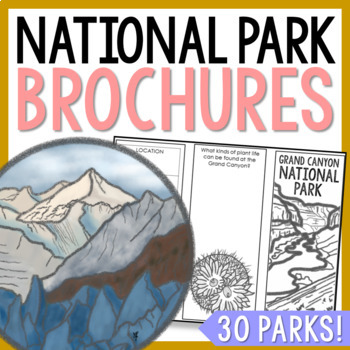
Preview of NATIONAL PARK Research Projects | USA American Landmarks Report Activities
NATIONAL PARK Research Projects | USA American Landmarks Report Activities

This bundle of 30 national park brochure projects is a fantastic way for your students to explore a huge variety of landscapes across North America. Each no-prep activity can be completed in a few different ways. You can provide your students with the information to fill out their brochures, or have them find the information through Internet research. If your students are inexperienced with Internet research, guide them through the process by projecting a search that you lead. NPS.gov and Britta
Preview of Flags of the World: 270 World Flags - Clip Art Bundle
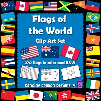
Flags of the World: 270 World Flags - Clip Art Bundle

Flags of the World: 270 World Flags in a convenient clip art BUNDLE.This clip art set contains 270 flags from around the world in both color and black and white line art. (A total of 540 graphics!)All the world flags you'll need, conveniently bundled in one pack. There are flags for every letter of the alphabet, A - Z, with the exception of the letter X.These flags are perfect for educational projects and teaching resources.This pack also includes a 'ready-to-print' PDF compilation of 35 flags
Preview of Passport Stamps - Countries Around the World Clip Art - 26 Clipart
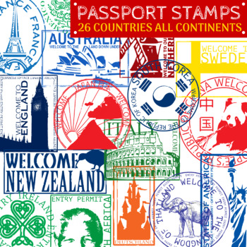
Passport Stamps - Countries Around the World Clip Art - 26 Clipart

Created by
The Lost Teacher
This is for a set of 26 Passport Stamps from around the world. Altogether there are 52 PNG clip art stamps including the blacklines. There are stamps from countries in EVERY continent except Antarctica. These stamps should also coincide with most of the Christmas and Holidays Around the World activities on TPT.All stamp colors represent a color from its country's flag. All images represent a national symbol, landmark, or emblem. Many countries also have their official names or names written in t
Preview of Pirates Clip Art Set {Educlips Clipart}
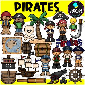
Pirates Clip Art Set {Educlips Clipart}

This is a collection of pirates and pirate tools images.Images included in this set are: pirate kidsshipstelescopehatswordparrotskull and crossbonesbarrelcanon and canon ballstreasure chestpalm treemapship's wheelpirates sign44 images (21 in color and the same 21 in B&W) This set contains all of the images shown.Images saved at 300dpi in PNG files.For personal or commercial use.CLICK HERE for TERMS OF USE©Educlips LLC 2016Follow Educlips on FacebookFollow Educlips on InstagramKeywords : clip
Preview of Regions of the USA: Five Regions - Map Clip Art
Regions of the USA: Five Regions - Map Clip Art

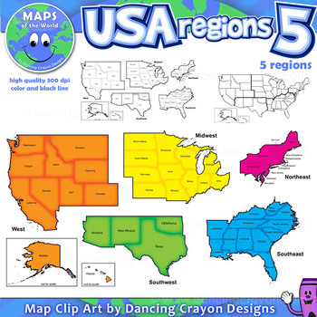
Regions of the USA: Five Regions - Map Clip Art ............................................................................................. Please check the regions in this set before purchase. We offer a choice of THREE different US Region Map Sets: USA divided into FOUR regions / NINE divisions (as set out by the United States Census Bureau) USA divided into FOUR regions / TEN divisions (as taught in some states) Please read on for more information about THIS region set: ............
Preview of Maps of the World: Clip Art World Maps
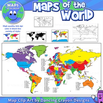
Maps of the World: Clip Art World Maps

Maps of the World: Clip Art World Maps High quality color and black and white maps of the world. This clipart map set contains the following commercial use graphics: - Color maps of the world - Black and white line art maps of the world - Maps of the world with lines of latitude and without lines of latitude - Maps of the world with larger countries labelled (color and black and white) - Silhouette maps of the world - A map of the world showing seven continents in color and black and white:
Preview of Map and Globe Skills Worksheets (6th, 7th, 8th Grades)
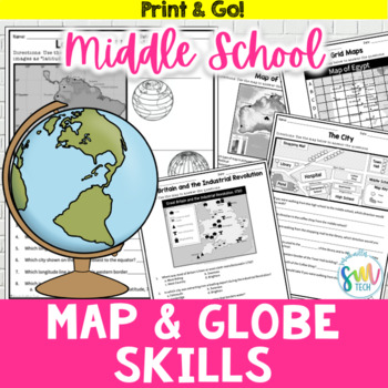
Map and Globe Skills Worksheets (6th, 7th, 8th Grades)

Your students will love reviewing map and globe skills with this engaging, no prep worksheet packet! It's great to use during the back-to-school weeks. Plus, it’s so easy to use that you can even leave it for sub plans or homework packets!Resource Includes: 12 worksheets & answer keysCardinal and intermediate directionslatitude and longitudegrid maps: reading & creatingphysical maps: reading & drawing conclusionsgraphic scales: to determine distancesmap keys: to acquire informationAn
Preview of Community Buildings Clip Art Set {Educlips Clipart}
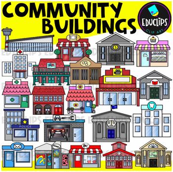
Community Buildings Clip Art Set {Educlips Clipart}

This is a set of buildings commonly found in the community. The buildings included in this set are: airportbakerybankcourthousedentistfirehousefloristgalleryhospitaljaillibrarymovie theatermuseumpharmacy or medical centerpolice stationpost officerepair shoprestaurantsalonschooltheaterThis set contains all of the images shown.42 images. (21 images in color and the same 21 images in B&W.)This set has been completely updated on 6/11/23Images saved at 300dpi in PNG files.For personal or commerci
Preview of Zoo Clip Art Set {Educlips Clipart}

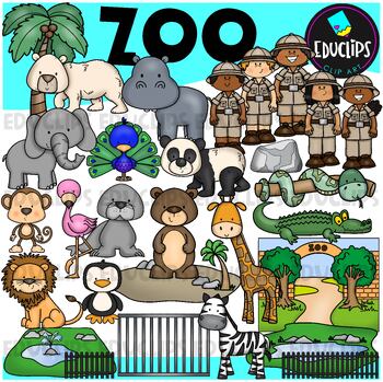
Zoo Clip Art Set {Educlips Clipart}
This is a set of zoo images.This set conatains all of the images shown on the product cover as well as B&W versions.The images in this set are:brown bearflamingopolar bearelephantpeacocksea lionpandasnakemonkeylionzebrapenguingiraffecrocodilerockenclosurescagetreezoo entrancezookeepersrailings58 images (29 in color and the same 29 in B&WThis set has been fully updated. All of the older images are included in this download.This set contains all of the images shown.Images saved at 300dpi i
Preview of Volcanoes Complete Pack - Printables, Editable PowerPoint, Interactive Notebooks
Volcanoes Complete Pack - Printables, Editable PowerPoint, Interactive Notebooks

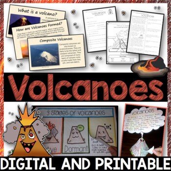
This Volcano Unit is exploding with a variety of printables, Diagrams, Interactive notebooks, and a 100% editable PowerPoint.*Also includes digital access via Google Slides.What’s included in the pack: (Answer keys are included.) • PowerPoint Review Sheet• Volcanoes Reading Comprehension• Label the parts of a volcano • Volcano Labeled Diagram • 3 Stages of a Volcano Poster (8.5” x 11”) – Active, Dormant, and Extinct• Cinder Cone, Composite, and Shield Volcanoes Posters (1 of each)• Types of Volc
Preview of Geography of North America Map Practice Activities | USA Canada Mexico | Google
Geography of North America Map Practice Activities | USA Canada Mexico | Google

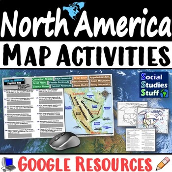
End the cycle of bored students copying from books to label maps! Your classes think critically with these digital, interactive, geography activities. First, students answer questions about North America by analyzing various physical & political maps of the region. Then, a drag & drop challenge assesses their learning of the locations. This resource also includes a printable worksheet that takes labeling maps to the next level! They create a map of the United States, Canada, and Mexico u
Preview of Geography of Europe Map Practice Activities | Print and Digital | Google
Geography of Europe Map Practice Activities | Print and Digital | Google

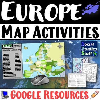
End the cycle of bored students copying from books to label maps! Your classes think critically with these digital, interactive, geography activities. First, students answer questions about Europe by analyzing various physical & political maps of the region. Then, a drag & drop challenge assesses their learning of the locations. This resource also includes a printable worksheet that takes labeling maps to the next level! They create a map using only absolute & relative location clues
Preview of World War II: Map Coloring & Labeling Activities- Europe & Pacific Theaters!
World War II: Map Coloring & Labeling Activities- Europe & Pacific Theaters!

Created by
Mad Historian
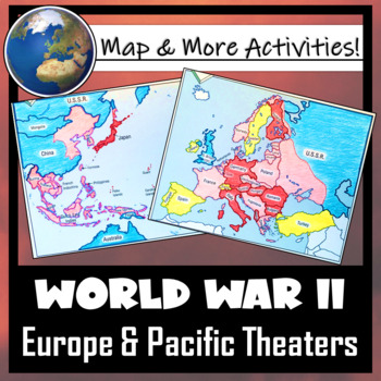
This World War II Map Activity includes two map activities that include blank maps, student direction sheets, follow-up map tasks, and completed sample maps to use as reference. One map activity focuses on Axis Expansion in EUROPE and one on Axis Expansion in ASIA (The Pacific). They can be used with many different age groups, learning styles, and independently- great addition to your WWII unit!**Note: These maps focus on the peak of Axis power/control during WWII. Please see the completed ma
Preview of World Religions Informational Text Reading Comprehension Worksheet Bundle
World Religions Informational Text Reading Comprehension Worksheet Bundle

This bundle contains reading comprehension worksheets for Judaism, Christianity, Islam, Hinduism, and Buddhism. Each product has an overview of each religion and comprehension questions. The individual listing outlines the details and gives previews. I've included a color and BW version of each, as well as a key. INCLUDES:JudaismChristianityIslamHinduismBuddhism*If you don't already, Follow Me!
Preview of Geography of Africa Map Practice Activities | Print and Digital | Google
Geography of Africa Map Practice Activities | Print and Digital | Google

End the cycle of bored students copying from books to label maps! Your classes think critically with these digital, interactive, geography activities. First, students answer questions about Africa by analyzing various physical & political maps of the region. Then, a drag & drop challenge assesses their learning of the locations. This resource also includes a printable worksheet that takes labeling maps to the next level! They create a map using only absolute & relative location clues
Preview of Biomes And Landforms Backgrounds 1 Clip Art Set {Educlips Clipart}
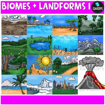
Biomes And Landforms Backgrounds 1 Clip Art Set {Educlips Clipart}

This is a collection of biomes and landform images.Scenes include: Arctic, beach, city, countryside, desert, forest, mountains, ocean, pond, prairie, rainforest, savanna, tropics, tundra, and volcano.CLICK HERE FOR BIOMES AND LANDFORMS 230 images (15 in color and the same 15 in B&W)Images saved at 300dpi in PNG files.For personal or commercial use.CLICK HERE for TERMS OF USEThis is a zip file. Before purchasing, please check that you are able to open zip files and ensure that your zip openin
Preview of Australian Animals Clip Art Set {Educlips Clipart}
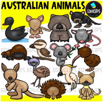
Australian Animals Clip Art Set {Educlips Clipart}

This set contains all of the images shown: animals found in Australia - bandicoot, black swan, cockatoo, dingo, echidna, emu, kangaroo, kiwi, koala, kookaburra, platypus, possum, tasmanian devil, wombat.14 images in color and the same 14 images in B&W.Images saved at 300dpi in PNG files.For personal or commercial use.CLICK HERE for TERMS OF USEThis is a zip file. Before purchasing, please check that you are able to open zip files and ensure that your zip opening software is updated.©Educlips
Preview of Canada's Interactions with the Global Community Workbook(Grade 6 Social Studies)
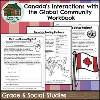
Canada's Interactions with the Global Community Workbook(Grade 6 Social Studies)

This workbook covers the Grade 6 Canada's Interactions with the Global Community unit in the NEW Ontario Social Studies 2023 curriculum (People and Environments).In this workbook, students will learn about the global community, human rights, the United Nations, NGOs, the global economy, CUSMA (formerly NAFTA), fair trade, world health concerns, environmental issues, international aid, and taking action in the global community. They will learn about the importance of responsible citizenship, feat
Preview of Australia Clip Art Set {Educlips Clipart}
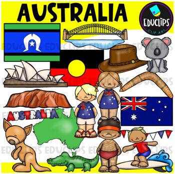
Australia Clip Art Set {Educlips Clipart}

This is a collection of Australia images.The images included in this set are: flag, map, boy, girl, bunting, kangaroo, koala, hat, boomerang, crocodile, surfer, Aboriginal boy, Sydney Harbor Bridge, Opera House, Ayers Rock and word art sign.Torres Strait & Aboriginal flags have been added to this set.36 images (18 in color and the same 18 in B&W)This set contains all of the images shown.Images saved at 300dpi in PNG files.For personal or commercial use.CLICK HERE for TERMS OF USEThis is
Preview of France Clip Art Bundle {Educlips Clipart}
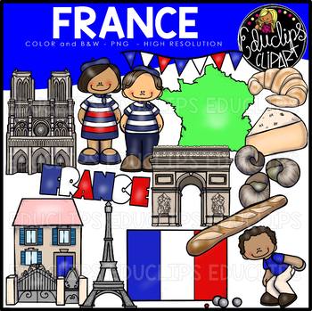
France Clip Art Bundle {Educlips Clipart}

This is a collection of France clip art images. Images include map, flag, bunting, French boy, French girl, boy playing boules, croissant, escargots (snails), baguette, brie, Arc De Triomphe, Notre Dame, French house, Eiffel Tower and word art. 30 images (14 in color and the same 14 in B&W) This set contains all of the images shown. Images saved at 300dpi in PNG files. For personal or commercial use. Download preview for TOU. This is a zip file. Before purchasing, please check that you a
Preview of China Clip Art Set {Educlips Clipart}
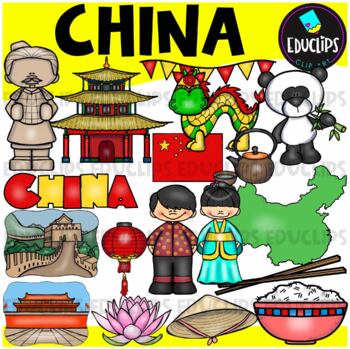
China Clip Art Set {Educlips Clipart}

This is a collection of China images.The images included in this set are: flag, map, boy, girl,panda, house, lantern, hat, lotus flower, rice, chopsticks, green tea, Great Wall, terracotta soldier, Chinese dragon, Tiananmen Square and word art sign.34 images (17 in color and the same 17 in B&W)This set contains all of the images shown.Images saved at 300dpi in PNG files.For personal or commercial use.Download preview for TOU.This is a zip file. Before purchasing, please check that you are ab
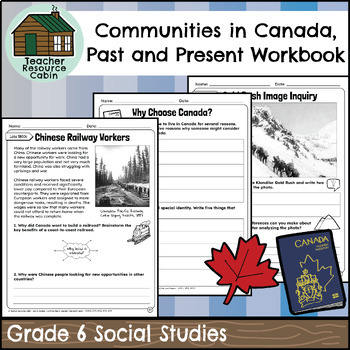
Preview of Communities in Canada, Past and Present Workbook (Grade 6 Social Studies)
Communities in Canada, Past and Present Workbook (Grade 6 Social Studies)

This workbook covers the Grade 6 Communities in Canada, Past and Present unit in the NEW Ontario Social Studies 2023 curriculum (Heritage and Identity).In this workbook, students will learn about various aspects of Canada's history and its diverse communities. The content starts with an exploration of Indigenous communities and their traditional territories, followed by an in-depth look at the interactions between early European settlers and Indigenous peoples. The workbook delves into the signi
Preview of Stone Age Reading Comprehension Bundle Early Humans Civilizations History

Stone Age Reading Comprehension Bundle Early Humans Civilizations History

This reading comprehension bundle has 7 articles and comprehension questions related to the Stone Age (products listed below). I've included a color and black and white version of each product, as well as a key. These could be used for homework, classwork, fast-finishers, groups, etc. The ZIP file of each product has 3 versions of PDF files: 1) Article and Questions in Color and Black and white and Key 2) Color Student Version 3) BW Student Version. These are NOT editable files. Check out the
Showing 1-24 of 12,000+ results

Find Social Studies - History resources | TPT

Importance of learning social studies

Social studies offers valuable insights into history, geography, and much more. Social studies captivates students by providing them with perspectives from the past, present, and future, allowing them to understand history and navigate current events. It enables them to appreciate how previous generations have shaped their present reality. In essence, social studies opens their eyes to the vastness of life beyond their immediate surroundings.

Benefits of learning social studies

Learning social studies offers many benefits to students in terms of helping them develop a holistic understanding of the world. Namely, it helps them:

  • Learn about the achievements, challenges, perspectives, traditions, and customs of different societies
  • Evaluate information, analyze evidence, and make informed judgments about complex social, economic, and political issues
  • Become active, responsible, and engaged citizens
  • Comprehend global issues such as human rights, environmental sustainability, and economic disparities

By teaching social studies, teachers can help students develop critical thinking skills, foster civic engagement, and promote social awareness and responsibility.

Teaching with social studies resources

On TPT, social studies resources come in various formats, from worksheets to interactive notebooks to units. They can be used to enhance learning, assess a student’s mastery of social studies concepts, or to reteach a tricky topic. With plenty of TPT resources at your fingertips, teaching and learning social studies will be so much easier.

Discover printable and digital social studies resources

If you’re a teacher or parent looking for printable or digital social studies resources, TPT has an extensive array of instructional materials for every learning need, topic, or grade level. Whether you’re teaching students about America’s democratic process, the legacy of Dr. Martin Luther King, Jr., how to read maps, or World War II, we’ve got you covered.

Social studies resources on TPT offer informative lessons, engaging texts, intriguing facts, interactive puzzles, and enjoyable trivia games. These grade-specific resources ensure that all students can access age-appropriate materials that stimulate their minds and enhance their creative thinking abilities.

For instance, first graders can explore worksheets on senses and emotions, followed by a coloring page featuring Harriet Tubman. Older students can test their knowledge with quizzes on statistics and capital cities, then delve into the history of the Underground Railroad through an informational sheet or enjoy a word search focused on civil rights leaders. With such a wide variety of subjects and topics covered, our social studies pages provide endless opportunities for students to explore the world in captivating ways.

Frequently asked questions about teaching social studies

What types of social studies lessons are available on TPT?

There are many different types of history resources sold by Sellers on TPT. Some popular social studies lessons include U.S. history, world history, ancient history, geography, civics, and government.

How do I find social studies lessons on TPT?

Educators can save time preparing history lessons with resources created by experienced teachers. Simply start a search for social studies resources on the TPT marketplace, and filter by grade level, price, and/or resource type to find materials that've been proven to work in classrooms like yours. No matter what you’re teaching, there are plenty of social studies lessons and activities sold by Sellers on TPT that are tailored to meet your students' skill levels.