14,522 results
Geography assessments by TpT sellers for TpT sellers
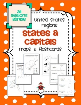
All US Regions States & Capitals Maps
Save $3 if you buy all the regions at once in this packet! Note that this product includes both MAPS and FLASHCARDS for the states & capitals of the five regions of the US.
This product contains 3 maps of each of the five regions of the United States (15 maps in all). Check out the FREE Northeast region set of maps.
• Study guide map labeled with the states and capitals (which can also be used as an answer key)
• Blank map with a word bank of the states and capitals
• Blank map without wor
Subjects:
Grades:
3rd - 5th
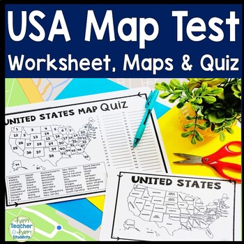
United States Map Quiz & Worksheet, USA Map Test w/ Practice Sheet, US Map Quiz
United States Map Test: Easy-to-read US Map Quiz and Practice Sheet will help students learn to correctly identify and locate all 50 states. This product also includes a labeled USA Map in full & half-page design and blank USA map for practice. Learning how to correctly identify all 50 states on a map of the United States is a critical skill for students of all ages.US Map Quiz (US Map Test) is ready to print-and-go to test knowledge of the USA Map and 50 states. This map of the United State
Grades:
2nd - 8th
Types:
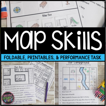
Map Skills Worksheets & Performance Task | Print & Easel
Practice using a map key, a compass rose, and a scale to read, interpret, and create basic maps! These printables are perfect for teaching geography or quick map skills assessments in first grade, second grade, or third grade! The following print-and-go map skills activities are included:Map Vocabulary Foldable: Students cut along the dotted lines to create three flaps and then fold along the solid line. Under each flap, students define the vocabulary word shown on the top of the flap. Words inc
Grades:
1st - 3rd
Types:
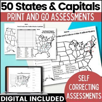
50 States and Capitals Map Activities Print & Digital Resource
Help your students learn and remember the 50 United States and Capitals. This product breaks the 50 states into five regions to make learning easier to manage and teach. United States maps are included with printable assessments, self correcting digital assessment and digital practice worksheets.Update! Easel Digital Version is Included (updated 7/2022)Self Correcting Assessments and Easy to Assign!Save $$$ when you buy as a bundle:The United States and Capitals Geography Review Activities and A
Grades:
3rd - 5th
Types:
Also included in: 50 States and Capitals Bundle Map Print & Digital Resource 50% OFF
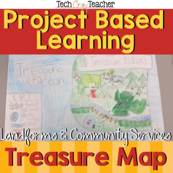
Map Skills Project Based Learning Pirate Treasure Map w/ Landforms & Communities
Need to assess your students' map skills in a fun engaging way? This project-based learning activity assesses elementary student map skills by having them bury their pirate treasure! Students become actively engaged in designing their own island and mapping the route to X Marks the Spot! A great resource for teaching and assessing basic map skills in your social studies classroom! This pirate project includes landforms and community services to make a comprehensive map assessment.This map skill
Grades:
2nd - 5th
Types:
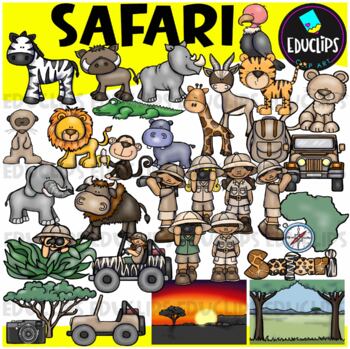
Safari Clip Art Set {Educlips Clipart}
We're on Safari! This set is packed with animals, kids and items you might need for a Safari. Images included are: buffalochimpmeerkatelephantzebrahippogiraffegazellelionlionesshippocrocodilevulturetigersafari kidsjeepscompasscamerabackpacktreemap of Africaevening and day time backgroundThis set contains all of the images shown.64 images (32 in color and 32 in B&W)Images saved at 300dpi in PNG files.For personal or commercial use.Download preview for TOU.This is a zip file. Before purchasing
Subjects:
Grades:
Not Grade Specific
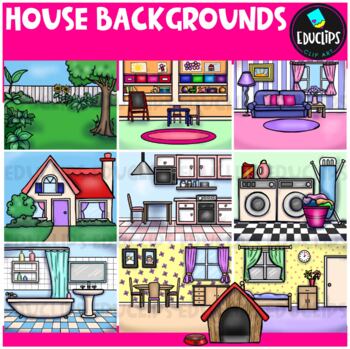
House Backgrounds Clip Art Set {Educlips Clipart}
Get creative with these colorful pictures of rooms in a house. Add people and/or other images to make them come to life! The set includes a living room, dining room, kitchen, bathroom, bedroom, laundry room, front of house, back yard, playroom and a dog house. This set contains all of the images shown.20 images (10 in color and the same 10 in B&W)Images saved at 300dpi in PNG files.For personal or commercial use.Download preview for TOU.©Educlips 2014Follow Educlips on FacebookFollow Educlip
Grades:
Not Grade Specific
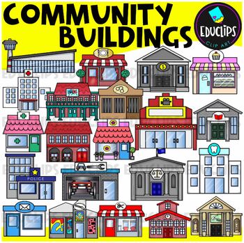
Community Buildings Clip Art Set {Educlips Clipart}
This is a set of buildings commonly found in the community. The buildings included in this set are: airportbakerybankcourthousedentistfirehousefloristgalleryhospitaljaillibrarymovie theatermuseumpharmacy or medical centerpolice stationpost officerepair shoprestaurantsalonschooltheaterThis set contains all of the images shown.42 images. (21 images in color and the same 21 images in B&W.)This set has been completely updated on 6/11/23Images saved at 300dpi in PNG files.For personal or commerci
Subjects:
Grades:
PreK - 6th
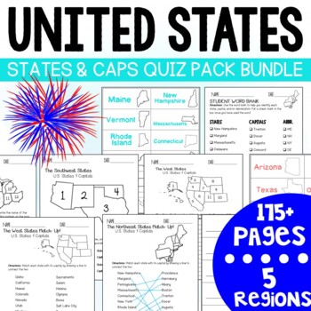
U.S. States and Capitals BIG Bundle-Quiz Packs AND Flash Cards
U.S. States and Capitals Quiz Pack- MEGA BUNDLE!Use this States and Capitals Mega Bundle Quiz Pack to test your students knowledge of the U.S. States and Capitals region by region! What's included in this BIG bundle of 11 resources?Northeast Region:Quiz Pack- 14 pages (7 testing options)Flash Card Printables - 18 Pages (4 options)Southeast Region:Quiz Pack- 14 pages (7 testing options)Flash Card Printables -18 pages (4 options) Midwest Region:Quiz Pack- 14 pages (7 testing options)Flash Card Pri
Subjects:
Grades:
3rd - 7th
Types:
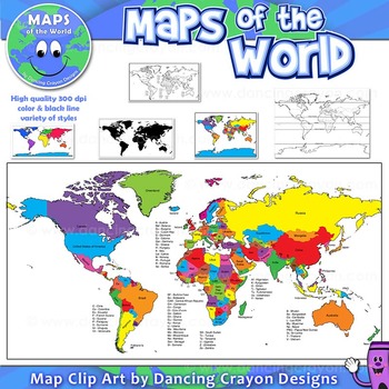
Maps of the World: Clip Art World Maps
Maps of the World: Clip Art World Maps
High quality color and black and white maps of the world.
This clipart map set contains the following commercial use graphics:
- Color maps of the world
- Black and white line art maps of the world
- Maps of the world with lines of latitude and without lines of latitude
- Maps of the world with larger countries labelled (color and black and white)
- Silhouette maps of the world
- A map of the world showing seven continents in color and black and white:
Grades:
3rd - 12th, Higher Education, Adult Education, Staff
Also included in: Maps of the World Clip Art - MEGA-BUNDLE
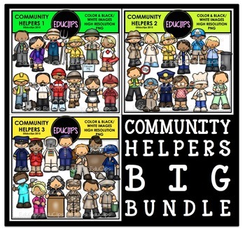
Community Helpers Clip Art Big Bundle {Educlips Clipart}
The sets in this collection were originally published in 2015. They have been consolidated into this one collection for convenience. Please don't purchase this if you already purchased any of the community helper sets.The images in each set are:Community Helpers 1businessman, business woman, farmer, fisherman, ranger, lifeguard, construction worker, waiter, ski guide, tour guide, waitress, oil workerCommunity Helpers 2detective, nurse, firefighter, doctor, mailman, garbage collector, crossing gu
Subjects:
Grades:
PreK - 5th, Staff
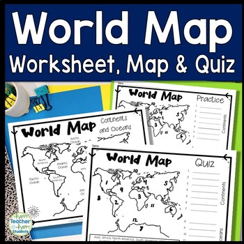
World Map: World Map Quiz (Test) and Map Worksheet | 7 Continents and 5 Oceans
Map of the World Test: Easy-to-read World Map Quiz requires students to locate 7 Continents and 5 Oceans. This resource also includes a world map printable for kids to practice learning the map of the world. Students must label continents and oceans: 7 Continents (Asia, Africa, North America, South America, Antarctica, Australia & Europe) and 5 Oceans (Atlantic, Pacific, Indian, Arctic & Southern). This is an ideal continents and oceans activities for 1st grade, 2nd grade, 3rd grade, 4th
Grades:
2nd - 6th
Types:
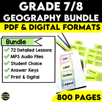
Grade 7 and 8 Geography Bundle Ontario Curriculum
This comprehensive Grade 7/8 Geography Bundle is meticulously designed to empower teachers and captivate students with 72 in-depth and engaging lessons. This bundle is specifically tailored to help educators nurture a deep understanding of essential concepts in both physical and human geography.Through this bundle, your students will embark on a journey exploring various geographical physical patterns, including landforms, water systems, vegetation regions, climate regions, and the challenges po
Subjects:
Grades:
7th - 8th
Types:
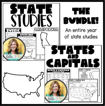
State and Capital Studies for the Entire Year
This bundle contains everything you need to guide your students through an entire year of learning about states and capitals.All resources are print and go so that you can get started efficiently and smoothly!
Grades:
4th - 7th
Types:
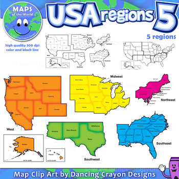
Regions of the USA: Five Regions - Map Clip Art
Regions of the USA: Five Regions - Map Clip Art
.............................................................................................
Please check the regions in this set before purchase. We offer a choice of THREE different US Region Map Sets:
USA divided into FOUR regions / NINE divisions (as set out by the United States Census Bureau)
USA divided into FOUR regions / TEN divisions (as taught in some states)
Please read on for more information about THIS region set:
............
Grades:
3rd - 12th, Staff
Also included in: Maps of the World Clip Art - MEGA-BUNDLE
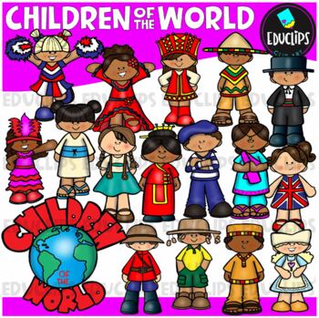
Children Of The World Clip Art Set {Educlips Clipart}
A collection of Children from different parts of the world: Africa, Brazil, Canada, USA, Germany, China, Holland, France, India, Italy, Japan, UK, Russia, Spain, Mexico and a 'Children Of The World' sign.These cartoon-like children are dressed in clothes that have some connection to their countries. This set has been designed for younger elementary children to give a brief, fun and colorful representation of each country.This is just a general set of images of children around the world. New imag
Grades:
PreK - 2nd, Staff
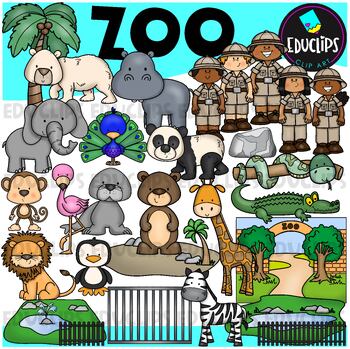
Zoo Clip Art Set {Educlips Clipart}
This is a set of zoo images.This set conatains all of the images shown on the product cover as well as B&W versions.The images in this set are:brown bearflamingopolar bearelephantpeacocksea lionpandasnakemonkeylionzebrapenguingiraffecrocodilerockenclosurescagetreezoo entrancezookeepersrailings58 images (29 in color and the same 29 in B&WThis set has been fully updated. All of the older images are included in this download.This set contains all of the images shown.Images saved at 300dpi i
Subjects:
Grades:
PreK - 6th, Staff
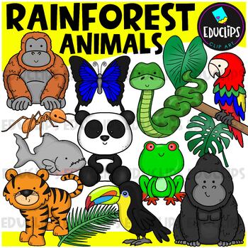
Rainforest Animals Clip Art Set {Educlips Clipart}
This is a set of animals of the rainforest.Images included in this set are:anacondaantgorillabutterflyorangutanpandaparrottoucanpiranhatigerred eyed tree frograinforest leaves32 images (16 in color and the same 16 in B&W)This set has been fully updated.Both the 2014 and 2024 versions have been included in this download.This set contains all of the images shown on the product cover image plus black and white versions of all of the images you can see. No other images are included. Images saved
Subjects:
Grades:
PreK - 2nd
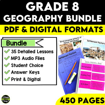
Grade 8 Geography Bundle Ontario Curriculum
This comprehensive Grade 8 Geography Bundle covers both Strand A and Strand B of Grade 8 Geography for the Ontario Curriculum. With 35 in-depth lessons at your fingertips, you can now guide your students on an exciting journey to explore and understand global settlement patterns, their environmental impact, economic development, and how quality of life is impacted by many factors. With this Grade 8 Geography Bundle, you can inspire your students to become global citizens with a deeper understand
Subjects:
Grades:
8th
Types:
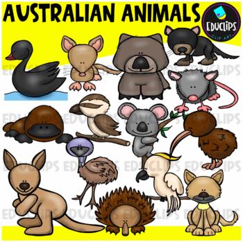
Australian Animals Clip Art Set {Educlips Clipart}
This set contains all of the images shown: animals found in Australia - bandicoot, black swan, cockatoo, dingo, echidna, emu, kangaroo, kiwi, koala, kookaburra, platypus, possum, tasmanian devil, wombat.14 images in color and the same 14 images in B&W.Images saved at 300dpi in PNG files.For personal or commercial use.CLICK HERE for TERMS OF USEThis is a zip file. Before purchasing, please check that you are able to open zip files and ensure that your zip opening software is updated.©Educlips
Subjects:
Grades:
PreK - 6th, Staff
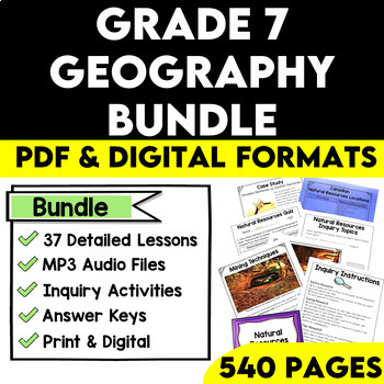
Grade 7 Geography Bundle Ontario Curriculum
This Grade 7 Geography Bundle is your ultimate resource for teaching Ontario Curriculum! Teachers are provided with 37 in-depth lessons to help their students explore and understand Physical Patterns In A Changing World as well as Natural Resources Around The World. Topics for physical patterns include landforms, water systems, vegetation regions, climate regions, and the challenges posed by the physical environment. Students will learn the following about natural resources: types, issues, extra
Subjects:
Grades:
7th
Types:
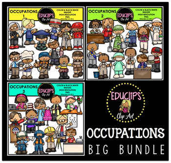
Occupations Clip Art Big Bundle {Educlips Clipart}
This is a collection of 3 sets of the jobs people do and community workers.The images in each set are:OCCUPATIONS1architect, artist, bus driver, butcher, carpenter, coach, computer technician, baker, electrician, fishmonger, actor, delivery worker.OCCUPATIONS2librarian, reporter, gardener, paramedic, photographer, painter, mayor, window washer, surgeon, pharmacist, principal, pizza delivery worker.OCCUPATIONS3author, designer, priest, florist, president, secretary, optometrist, film director, di
Subjects:
Grades:
PreK - 5th, Staff
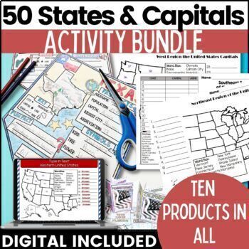
50 States and Capitals Bundle Map Print & Digital Resource 50% OFF
Everything you need (and more) to teach the 50 States and Capitals Help your upper elementary & middle school students learn the 5 regions of the United States with printable assessments and activities, digital Boom Cards, digital self correcting Easel assessments and Google map activities. This product will help you teach, review, and assess your students. You save 40% When you purchase all 10 products as a bundle!Bundle Includes:50 States and Capitals Test Printouts (includes Easel self co
Grades:
4th - 6th
Types:
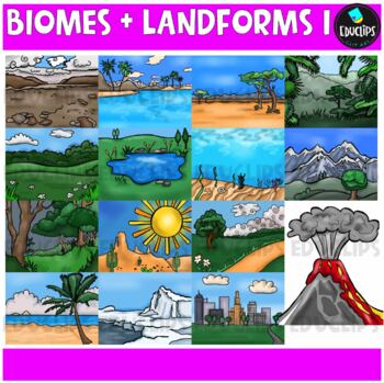
Biomes And Landforms Backgrounds 1 Clip Art Set {Educlips Clipart}
This is a collection of biomes and landform images.Scenes include: Arctic, beach, city, countryside, desert, forest, mountains, ocean, pond, prairie, rainforest, savanna, tropics, tundra, and volcano.CLICK HERE FOR BIOMES AND LANDFORMS 230 images (15 in color and the same 15 in B&W)Images saved at 300dpi in PNG files.For personal or commercial use.CLICK HERE for TERMS OF USEThis is a zip file. Before purchasing, please check that you are able to open zip files and ensure that your zip openin
Subjects:
Grades:
PreK - 6th, Staff
Showing 1-24 of 14,522 results


