368 results
9th grade geography resources by TpT sellers for TpT sellers
Maps of the World: Clip Art World Maps
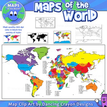
Maps of the World: Clip Art World Maps
High quality color and black and white maps of the world.
This clipart map set contains the following commercial use graphics:
- Color maps of the world
- Black and white line art maps of the world
- Maps of the world with lines of latitude and without lines of latitude
- Maps of the world with larger countries labelled (color and black and white)
- Silhouette maps of the world
- A map of the world showing seven continents in color and black and white:
Grades:
3rd - 12th, Higher Education, Adult Education, Staff
Also included in: Maps of the World Clip Art - MEGA-BUNDLE
Regions of the USA: Five Regions - Map Clip Art
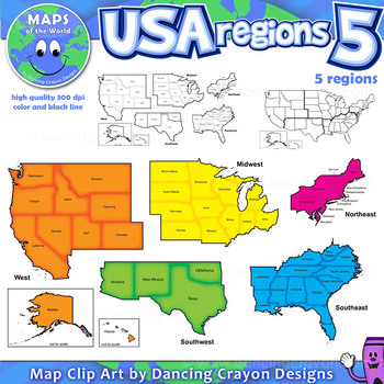
Regions of the USA: Five Regions - Map Clip Art
.............................................................................................
Please check the regions in this set before purchase. We offer a choice of THREE different US Region Map Sets:
USA divided into FOUR regions / NINE divisions (as set out by the United States Census Bureau)
USA divided into FOUR regions / TEN divisions (as taught in some states)
Please read on for more information about THIS region set:
............
Grades:
3rd - 12th, Staff
Also included in: Maps of the World Clip Art - MEGA-BUNDLE
Country flags of the world: 263 Country flags - clip art bundle (1052 clips!)
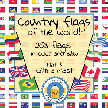
Country flags of the world: 263 Country flags. HUGE clip art BUNDLE!
This clip art contains 263 flags, in 2 forms (flat and with mast) in color and black & white line art.
Contains all the flags of the countries of the world : 195 Countries.
Look at the complete list of flags by downloading the preview
A total of 1052 clips!
Included:
263 color flag (flat) clip art flag set- PNG format
263 B&W flag (flat) clip art set- PNG format
263 color flag (with mast) clip art set- PNG format
Grades:
PreK - 12th, Higher Education, Adult Education
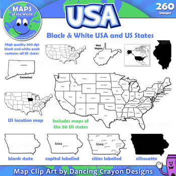
Maps of the USA and US States: Black and White Bundle
A practical set containing our black and white USA maps and US States maps.
260 images of the USA and individual US states in black and white line art. Perfect for creating worksheets and printables.
If you are looking for both color and black and white please see our USA maps bundle:
Click here for USA Map Bundle.
This clipart map set contains the following commercial use graphics:
- Black and white line art maps of all 50 US states in the following styles:
- Blank
- capi
Grades:
3rd - 12th, Staff
Maps of the World Clip Art - MEGA-BUNDLE
Maps of the World - MEGA-BUNDLEMEGA VALUE: Comprehensive collection of clip art maps and countries of the world - 380 images!COMPREHENSIVE:Hundreds of graphics spanning numerous countries and regions of the world. See below for the list of countries included. CONVENIENT and PRACTICAL:All the maps and world graphics you need for making teaching resources, worksheets, school projects, and more - all at your fingertips when you need them. Both color and black and white resources for all your dif
Grades:
3rd - 12th, Staff
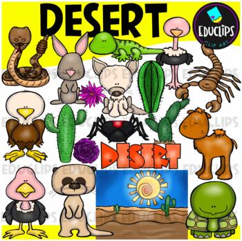
Desert Clip Art Set {Educlips Clipart}
A collection of desert and desert animal images. The graphics in this pack are: black widow spider, cactus plants, camel, desert background, desert rose, eagle, tortoise, fennec fox, gekko, jackrabbit, meerkat, ostrich, rattlesnake, scorpion, vulture, word art.38 images (19 in color and the same 19 in B&W)Images saved at 300dpi in PNG files.For personal and commercial use..Download preview for TOU.©Educlips LLC 2014Follow Educlips on FacebookFollow Educlips on InstagramKeywords: desert, biom
Grades:
PreK - 12th, Staff
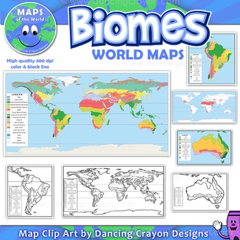
Biomes - Maps of the World and Continents Clip Art
Biomes World MapsHigh quality color and black and white maps of biome regions of the world. This clipart map set contains the following commercial use graphics:- Color maps of the world biome areas- Black and white line art maps of the world biome areas to color (with blank legend / key to also color)- Maps with and without the equator and geographic lines- Maps of continents showing biome regions- Maps of the world showing individual biome regions (for example: maps showing where the worlds tem
Grades:
3rd - 12th, Higher Education, Adult Education, Staff
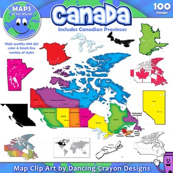
Canada: Clip Art Maps of Canada
Canada: Clip Art Maps
Map Collection: Canada
This is a large clip art set containing maps of Canada along with individual map clip art of each individual Canadian province.
This clipart map set contains the following commercial use graphics:
- Color maps of Canada and each Canadian province
- Labelled maps and blank maps (Provinces labelled with capital cities.)
- Black and white line art maps of Canada and each Canadian province
- Silhouette of the country of Canada and each Can
Grades:
3rd - 12th, Staff
Also included in: Maps of the World Clip Art - MEGA-BUNDLE
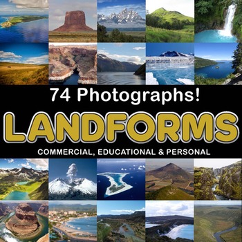
Photos Photographs LANDFORMS clip art
Photographs - Landforms. For sale are 74 beautiful, full color, high quality 300 dpi photographs for commercial, personal and educational use. No credit required to use these images, but it is always appreciated if you do! Why use clip art when you can use images of real objects? Every single image is available for you to use commercially in every one of your products. Buy with confidence! The thumbnail images are watermarked /cropped in the preview / thumbnails but the purchased photographs wil
Subjects:
Grades:
PreK - 12th, Higher Education, Adult Education
Also included in: Complete Photo Bundle
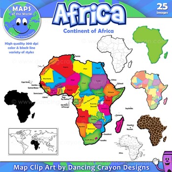
Maps of Africa: Clip Art Map Set
Maps of Africa: Clip Art Map Set
Map Collection: Africa
A colorful clip art set of maps of the African continent.
This clipart map set contains the following commercial use graphics:
- Color maps of Africa (continent)
- Black and white line art maps of Africa (continent)
- Labelled maps and blank maps
- Silhouette of the continent of Africa
- Map of the world with Africa highlighted
- Africa shapes in a variety of styles including giraffe, zebra, and tiger prints.
See pre
Grades:
3rd - 12th, Staff
Also included in: Maps of the World Clip Art - MEGA-BUNDLE
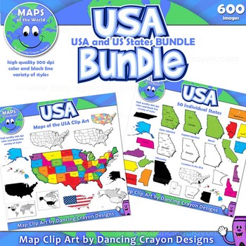
Maps of the USA and US States - Clip Art BUNDLE
A huge collection of clip art maps of the USA and the 50 US states! 600 images!This set combines our maps of the USA with our maps of US states clip art sets in a money-saving value pack.Includes a variety of styles of maps from bright and colorful to black and white line art. Both labelled and blank. Perfect for creating projects and worksheets.This clipart map set contains the following commercial use graphics:- Black and white line art maps of the United States of America- Colorful c
Grades:
3rd - 12th, Staff
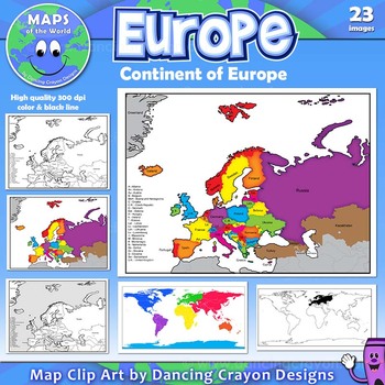
Maps of Europe: Clip Art Map Set
Maps of Europe: Clip Art Map Set
Map Collection: Europe
A colorful map clip art set of the region / continent of Europe.
This clipart map set contains the following commercial use graphics:
- Color maps of Europe in 3 different color styles: bright, pastel, and old style colors
- Black and white line art maps of Europe
- Maps of Europe with countries labelled and without (blank)
- Map of the world with Europe highlighted
Please download the preview to view the complete contents.
H
Grades:
3rd - 12th, Staff
Also included in: Maps of the World Clip Art - MEGA-BUNDLE
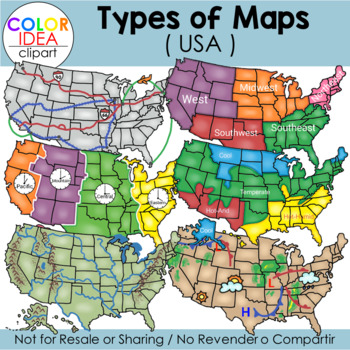
Types of Maps - USA
This set contains 39 images, wich includes 18 color images and 21 black line versions as shown on preview pages. Images saved at 300 dpi in png files.Included in this set:-Political map-Physical map-Landform map-Historical map (USA territorial acquisitions)-Weather map-Climate zone map-Time zone map-Regions map-Transportation map-USA contour map (2 colors)-Compass rose (2 styles)-3 different examples of maps scales-Elevation model-Contour elevationPLEASE NOTE: These are not exact maps, are gr
Grades:
PreK - 12th, Staff
Also included in: USA Maps - BUNDLE
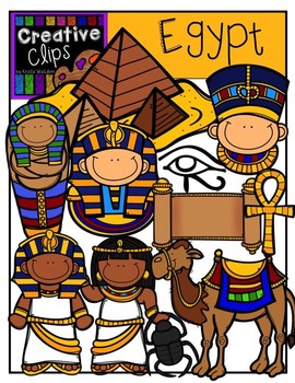
Egypt {Creative Clips Digital Clipart}
This 31-image set is full of Egyptian-themed kids, artifacts, and more! Included are 17 vibrant colored versions and 14 black and white versions.
Images include:
- Egyptian kids
- pyramid
- ankh cross
- camel
- Egyptian eye
- mask
- Nefertiti
- scarab beetle
- scroll
- mummy case
- Egypt country image (not shown in preview)
- Egyptian flag (not shown in preview)
**This set is included in my WORLD GRAPHICS TRIP bundle. If you are interested in 10 different country-themed sets, please check out
Subjects:
Grades:
PreK - 12th, Staff
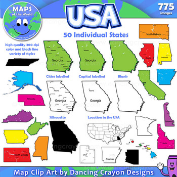
Maps of US States: Clip Art Map Set
Maps of US States: Color and Black and White States of the USAMap Collection: US StatesA huge colorful collection of clip art maps of the 50 states of the USA! 775 images!The set includes both color and black and white line art. Both labelled and blank. Perfect for creating projects and worksheets.This clipart map set contains the following commercial use graphics:- Black and white line art maps of each of the 50 states of America- Colorful clip art maps of the 50 US states- Map
Grades:
3rd - 12th, Staff
Also included in: Maps of the World Clip Art - MEGA-BUNDLE
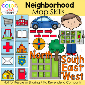
Neighborhood Map Skills
This set contains 64 images files as shown on preview pages wich includes 32 color images and 32 black line versions. Images saved at 300 dpi in png files.Check out these related clipart sets:Map Skills Clip ArtMap PointersTypes of Maps Clip Art (USA)I also have quite a complete selection of clipart in the following bundle:USA Maps - BUNDLEUS Regions BundleLandforms Bundle☆ Click to follow me to get freebies and updates on new products!☆ Follow Color Idea Clipart on Pinterest☆ Follow Color Ide
Grades:
PreK - 12th
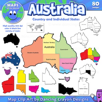
Maps of Australia and Australian States
A colorful collection of clip art maps of Australia, including individual Australian states.
The set includes both color and black and white line art. Both labelled and blank. Perfect for creating projects and worksheets.
This clipart map set contains the following commercial use graphics:
- Color maps of Australia in a variety of colors and styles - labelled and blank
- Color maps of Australian states - labelled and blank
- Black and white line art maps of Australia and Aust
Grades:
3rd - 12th, Staff
Also included in: Maps of the World Clip Art - MEGA-BUNDLE
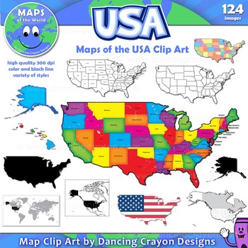
Maps of the USA: Clip Art Map Set
A large collection of clip art maps of the USA! 124 images!
The set includes a variety of styles from bright and colorful to black and white line art. Both labelled and blank. Perfect for creating projects and worksheets.
This clipart map set contains the following commercial use graphics:
- Black and white line art maps of the United States of America
- Colorful clip art maps of the USA
- Blank and labelled maps
- Silhouettes of the USA
- Maps of the world showing the
Grades:
3rd - 12th, Staff
Also included in: Maps of the World Clip Art - MEGA-BUNDLE
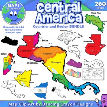
Maps of Central America: Clip Art Map BUNDLE
Maps of Central America: Clip Art Map BUNDLE
Map Collection: Central American Countries Bundle
VALUE-PACK: This is a money-saving bundle containing maps of the Central America region along with multiple maps of each country of Central America: Belize, Costa Rica, Honduras, Nicaragua, Panama, El Salvador, and Guatemala.
This clipart map set contains the following commercial use graphics:
- Color maps
- Black and white line art maps
- Silhouettes
- Maps of the world with individual count
Grades:
2nd - 12th, Higher Education, Adult Education, Staff
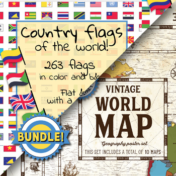
Country flags of the world & World map and continent - School Clip Art - BUNDLE
BUNDLE! Country flags of the world & World map and continent Product #1: Link to the productCountry flags of the world: 263 Country flags. HUGE clip art BUNDLE!This clip art contains 263 flags, in 2 forms (flat and with mast) in color and black & white line art.Contains all the flags of the countries of the world : 195 Countries.Look at the complete list of flags by downloading the previewA total of 1052 clips!Included:263 color flag (flat) clip art flag set- PNG format263 B&W flag
Grades:
PreK - 12th, Higher Education, Adult Education, Staff
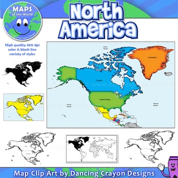
North America Continent Maps: Clip Art Map Set
North America Continent Maps: Clip Art Map Set
Map Collection: North American Continent
A set of clip art maps of North America. Note: These maps show the entire region of North America and do not contain individual country maps.
This clipart map set contains the following commercial use graphics:
- Color maps of North America
- Labelled maps and blank maps
- Black and white line art maps of North America
- Silhouette of the North American continent
- Map of the world hig
Grades:
PreK - 12th, Higher Education, Adult Education, Staff
Also included in: Maps of the World Clip Art - MEGA-BUNDLE
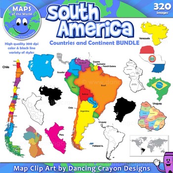
Maps of South America: Clip Art Map BUNDLE
Maps of South America: Clip Art Map BUNDLE
Map Collection: South America Continent and Countries Bundle
VALUE-PACK: This is a money-saving bundle containing maps of the South American continent along with multiple maps of each South American country.
This clipart map set contains the following commercial use graphics:
- Color maps
- Black and white line art maps
- Silhouettes
- Maps of the world with individual country highlighted
- Map with flag style
All the above for each of
Grades:
3rd - 12th, Staff
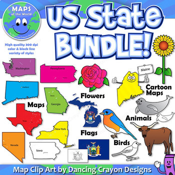
US State Symbols and State Map Clip Art BUNDLE
A BUNDLE set of Dancing Crayon's US State maps with US State symbols clip art.
Please note: This is a very large file (choc-full of clip art!). If you have any difficulty downloading this item, please contact TpT through their support page or leave a question on the Q&A tab of my store. We'll be happy to help!)
This US State clip art map and symbol set contains:
- Color maps and black and white maps of the fifty states of the United States of America - both labelled and blank. Labelled
Grades:
PreK - 12th, Higher Education, Adult Education, Staff
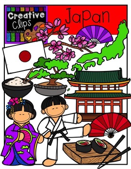
Japan {Creative Clips Digital Clipart}
This 30-image set if full of iconic foods and landmarks of Japan! Included are 18 vibrant colored versions and 12 black and white versions.
Images include:
- blossom branch
- bonsai tree
- fan
- flag
- Japan country
- girl
- karate boy
- rice bowl
- sushi plate
**This set is included in my WORLD GRAPHICS TRIP bundle. If you are interested in 10 different country-themed sets, please check out that listing before purchasing this!**
https://www.teacherspayteachers.com/Product/WORLD-Graphics-TRIP
Grades:
PreK - 12th, Staff
Showing 1-24 of 368 results


