322 results
Free world history resources for staff
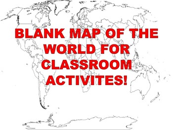
FREE Blank Map of the World
What Social Studies Teacher isn't always looking for a blank map of the World? Well, here you go! This free resource is used as a map labeling activity. Please leave a positive review if you enjoyed it!Do you teach World History? Here is my Instant Curriculum (Just Add Teacher); World History Complete Course that takes care of every lesson, vocabulary word, vocabulary quiz, PowerPoint, Test and review for every level of student. I hope you'll allow me to do all the paperwork so you can focus on
Grades:
PreK - 12th, Higher Education, Adult Education, Staff
Types:
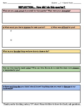
End of Quarter or Semester Reflection Freebie
At the end of each quarter or term, it is important for students to have the opportunity to reflect on their failures, successes, and set new goals for the coming months. This simple, yet effective, activity allows students to write tangible and achievable goals while identifying areas of weakness or need. After students fill this out, I have individual face-to-face conferences with them. We add this sheet to a growing folder, review goals and 'mini goals' that include attainable steps, and revi
Grades:
3rd - 12th, Higher Education, Adult Education, Staff
Types:
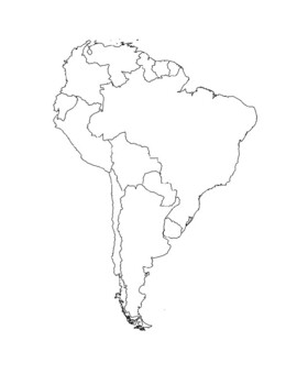
Global/U.S. - Maps Databank - South/Latin America
39 pages of maps related to the continent of South America / Latin America region. This databank of maps can be used for a variety of purposes depending on your lesson. Some examples of the types of maps included (but not limited to) are:- Political maps- Physical maps- Blank political maps- Vegetation Zone maps- Climate maps- Precipitation Rate maps- Satellite maps- Economic maps- Wealth / GDP maps- Resource / Land Use maps- Religion / language / ethnicity maps- Population density maps- Flag ma
Grades:
1st - 12th, Higher Education, Adult Education, Staff
Types:
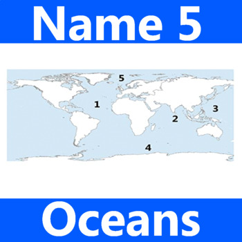
Name 5 Oceans Geography Classroom Activity Map Worksheet 1st-4th Grade
This is the perfect classroom activity for 1st, 2nd, 3rd, and 4th Grade students who are learning where the different oceans are. This five question geography worksheet has them finding and naming the different oceans of the world.
Grades:
PreK - 12th, Higher Education, Adult Education, Staff
Types:
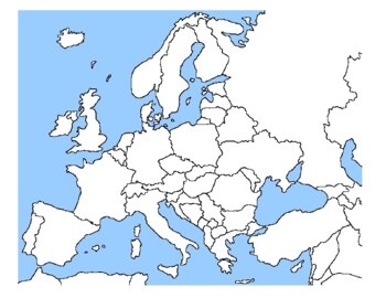
Global/U.S. - Maps Databank - Europe
98 pages of maps related to the continent of Europe. This databank of maps can be used for a variety of purposes depending on your lesson. Some examples of the types of maps included (but not limited to) are:- Political maps- Physical maps- Blank political maps- Vegetation Zone maps- Climate maps- Precipitation Rate maps- Satellite maps- Economic maps- Wealth / GDP maps- Resource / Land Use maps- Religion / language / ethnicity maps- Population density maps- Flag maps- Historical maps related to
Grades:
1st - 12th, Higher Education, Adult Education, Staff
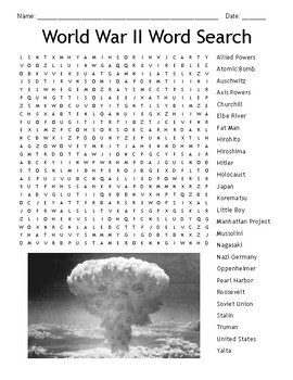
World War Two (WW2, WWII) Word Search
Have your students become more familiar with key concepts surrounding World War II (1939-1945) by locating them in this activity.Check out our World War II PowerPoint to learn more about these key concepts!
Grades:
3rd - 12th, Staff
Types:
Also included in: FULL Year United States History Resource Bundle!
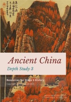
History FREE Ancient China Geography and Timeline activity PPT and DOC
Hope you enjoy this free resource!This is ideal for the Australian Curriculum INSIDE THIS FILE:PPT with Timeline and mapping visualsDOCUMENT (both digital and printable) - Introduction with timeline and geographical features activities.This is a preview of the extended version for geographical features. See the link below.#1 - Geographical Features CLICK HERE#2 - Society and Everyday Life CLICK HERE#3 - Religion and Significant Beliefs: CLICK HERE#4 - Contact, Conflict, and Legacy: CLICK HERE
Subjects:
Grades:
2nd - 12th, Higher Education, Adult Education, Staff
Also included in: Ancient China UNIT Bundle + BONUS Digital resource library
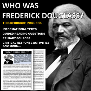
Who Was Frederick Douglass? Readings, Comprehension Questions and Activities
This is a CCLS aligned lesson that teaches students about Frederick Douglass. This resource includes informational texts, editable guided reading questions, primary sources, and critical thinking activities. Great for in Class or Distance Learning!If you enjoy using this lesson, please leave a positive review so that other teachers will eventually check it out and download it too!Please click the "Follow Me" link below to keep updated on all my new offerings!https://www.teacherspayteachers.com/
Grades:
7th - 12th, Staff
Types:
Also included in: U.S. History Mega Bundle: Over 100 American History Lessons
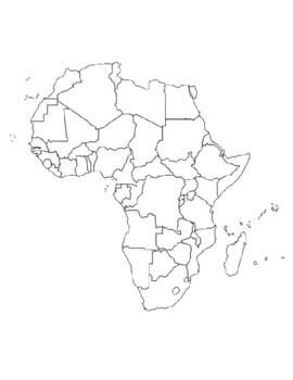
Global/U.S. - Maps Databank - Africa
40 pages of maps related to the continent of Africa. This databank of maps can be used for a variety of purposes depending on your lesson. Some examples of the types of maps included (but not limited to) are:- Political maps- Physical maps- Blank political maps- Vegetation Zone maps- Climate maps- Precipitation Rate maps- Satellite maps- Economic maps- Wealth / GDP maps- Resource / Land Use maps- Religion / language / ethnicity maps- Population density maps- Flag maps- Historical maps related to
Grades:
1st - 12th, Higher Education, Adult Education, Staff
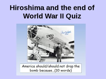
The end of World War 2: Why did the USA drop the atomic bomb on Hiroshima quiz
The end of World War Two: why did the USA drop the atomic bomb quiz and review55 questions to engage and motivate students learning: I have included great images to support learning. Contains some upsetting pictures.Learning Objectives:To explain how and why the USA joined the Second World WarTo decide whether it was right to drop nuclear bombs on Japan in 1945 Teacher Notes This is an excellent activity/game to further improve students work and knowledge. I split the class into two teams (in
Grades:
7th - 11th, Higher Education, Adult Education, Staff
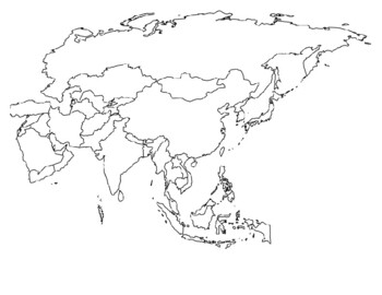
Global/U.S. - Maps Databank - Asia
33 pages of maps related to the continent of Asia. This databank of maps can be used for a variety of purposes depending on your lesson. Some examples of the types of maps included (but not limited to) are:- Political maps- Physical maps- Blank political maps- Vegetation Zone maps- Climate maps- Precipitation Rate maps- Satellite maps- Economic maps- Wealth / GDP maps- Resource / Land Use maps- Religion / language / ethnicity maps- Population density maps- Flag maps- Historical maps related to d
Grades:
1st - 12th, Higher Education, Adult Education, Staff
TED ED Does The Five Major World Religions Free Video Quiz
Ted Ed Video Quiz.
These questions already exist on the TED Ed website in an online format. TED Ed encourages educators to customize, create and share a new lesson based on the associated lesson shared on TED Ed.
I reformatted this lesson by re-creating a printable version for use in my own classroom and I am sharing this resource of the ideas worth sharing with you!
This can be used as an in-class or flipped classroom assignment.
TED Ed Link - https://ed.ted.com/lessons/the-five-major-wor
Grades:
9th - 12th, Higher Education, Adult Education, Staff
Types:
World War I Fill in the Blank / Cloze Assessment
World War 1 Fill in the Blank Vocab for High School...This fill in the blank activity is a great way to introduce new vocab words to students on the first day of the WWI unit. It also can be used as a cloze assessment at the end of the unit. It also makes a great study guide for students to review before the test. Word bank and answer key included.NEW! Click on my name above to see Fill in the Blanks like this for more units in US History!
Subjects:
Grades:
7th - 12th, Higher Education, Adult Education, Staff
Types:
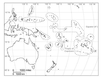
Global/U.S. - Maps Databank - Oceania / Australia
18 pages of maps related to the continent of Oceania / Australia. This databank of maps can be used for a variety of purposes depending on your lesson. Some examples of the types of maps included (but not limited to) are:- Political maps- Physical maps- Blank political maps- Vegetation Zone maps- Climate maps- Precipitation Rate maps- Satellite maps- Economic maps- Wealth / GDP maps- Resource / Land Use maps- Religion / language / ethnicity maps- Population density maps- Flag maps- Historical ma
Grades:
1st - 12th, Higher Education, Adult Education, Staff
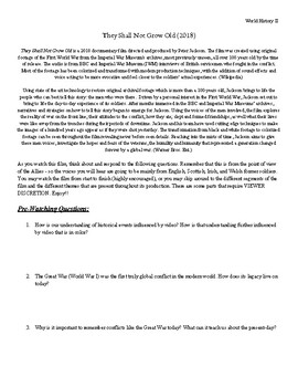
They Shall Not Grow Old (2018) Video Guide
This video guide follows the Peter Jackson documentary They Shall Not Grow Old (2018) on the First World War. This amazing documentary provides students with a unique look at WWI with advanced and colorized footage from the war itself, supplemented by selections from interviews with real soldiers who fought in the war. This document is intended for high school students who are studying 20th century World History. It provides pre-watching questions, questions that pertain to different parts of th
Grades:
9th - 12th, Higher Education, Adult Education, Staff
Types:
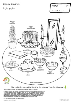
Haft Sīn Spread: Nowruz Coloring Pages (2 PDF files in 1 Zip)
Haft Sīn Spread: Nowruz Coloring Pages (2 PDF files in 1 Zip)
The Haft Sīn Spread is like the Christmas Tree for Nowruz. Nowruz is the New Year Festival in West and Central Asia! It begins at the moment of the Vernal Equinox around 20-21st of March every year (in the Northern Hemisphere) and lasts for 13 days!
The 7 staples of Haft Sīn symbolize re-birth, good health, and Spring!
One day before the Vernal Equinox (aka Spring or March Equinox) which is the precise moment of the New Year, we l
Subjects:
Grades:
PreK - 3rd, Staff
Types:
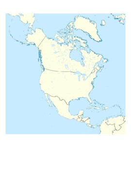
Global/U.S. - Maps Databank - North America
32 pages of maps related to the continent of North America. This databank of maps can be used for a variety of purposes depending on your lesson. Some examples of the types of maps included (but not limited to) are:- Political maps- Physical maps- Blank political maps- Vegetation Zone maps- Climate maps- Precipitation Rate maps- Satellite maps- Economic maps- Wealth / GDP maps- Resource / Land Use maps- Religion / language / ethnicity maps- Population density maps- Flag maps- Historical maps rel
Grades:
1st - 12th, Higher Education, Adult Education, Staff
Types:
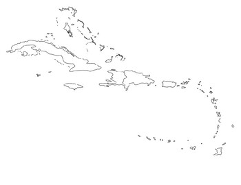
Global/U.S. - Maps Databank - Caribbean & Central America
21 pages of maps related to the regions of Central America & the Caribbean (Antilles). This databank of maps can be used for a variety of purposes depending on your lesson. Some examples of the types of maps included (but not limited to) are:- Political maps- Physical maps- Blank political maps- Vegetation Zone maps- Climate maps- Precipitation Rate maps- Satellite maps- Economic maps- Wealth / GDP maps- Resource / Land Use maps- Religion / language / ethnicity maps- Population density maps-
Grades:
1st - 12th, Higher Education, Adult Education, Staff
Types:
Printable Notes for the French and Indian War
Here is a note packet that goes along with the French and Indian War PowerPoint. Feel free to edit. Thanks
Grades:
6th - 12th, Higher Education, Adult Education, Staff
Types:
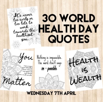
World Health Day Quotes
30 different quotes relating to World Health Day.Possible ways to use this product with students or staff:Mindful meditation- a different quote a day to discuss as a class.Mindful colouring Mental Health awareness/positive posters around the schoolWriting stimulus/prompt for creative/writers notebook writingExamples for students to create their own mandala and quote“Buddies” task with older and younger studentsTo raise awareness for World Health DayReflection task: Pick one- why does this reson
Subjects:
Grades:
PreK - 12th, Higher Education, Adult Education, Staff
Types:
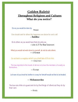
The "Golden Rule" From Around the World! What Do You Notice? from Spike Lit
Religions and cultures, whether world-wide, ancient, or modern, seem to share a meaningful and timeless belief. Can your students see what it is?
Subjects:
Grades:
5th - 11th, Staff
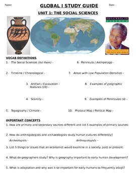
Global - Study Guide - Units 1-10/20 - 9th grade
This packet covers all of the essential vocabulary words and higher-thinking concepts from the first semester of the New York State 9th grade Global (World) History curriculum. It is 100% Regents-aligned.It is a 10-page graphic organizer with visuals, graphs, maps, questions and vocal words that have all appeared on past New York State Regents Exams. It is guaranteed to ensure dramatic success on my corresponding Regents quizzes for Units 1-10.Units covered in this packet are Unit 1 (Social Scie
Subjects:
Grades:
9th - 12th, Staff
Types:
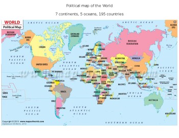
Global/U.S. - Maps Databank - World/Earth
26 pages of maps related to the entire World/Earth. This databank of maps can be used for a variety of purposes depending on your lesson. Some examples of the types of maps included (but not limited to) are:- Political maps- Physical maps- Blank political maps- Vegetation Zone maps- Climate maps- Precipitation Rate maps- Satellite maps- Economic maps- Wealth / GDP maps- Resource / Land Use maps- Religion / language / ethnicity maps- Population density maps- Flag maps- Historical maps related to
Grades:
1st - 12th, Higher Education, Adult Education, Staff
Types:
Chinese Heritage Activity Book
Journey through China with the Chinese Activity Book from Fiddlefox. This crayon-friendly collection features puzzles, games, and fun facts about Chinese Culture along with simple choreography for each of the songs in the Chinese Heritage Songbook.Visit www.fiddlefoxmusic.com/fiddlefoxstreaming for animated videos, scrolling sheet music, and resources. Audio can be streamed or downloaded at https://fiddlefox.bandcamp.com, iTunes, or Spotify and make it easy for the whole family to play and sing
Subjects:
Grades:
PreK - 2nd, Staff
Showing 1-24 of 322 results


