31,000+ results
12th grade geography resources for administrators
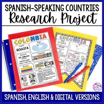
Spanish Speaking Countries Project Research a Country with Google Slides Digital
This Spanish-Speaking country project is an organized and efficient way for students to research Spanish-speaking countries. The templates are in both English and Spanish and can be completed digitally or handwritten. Includes digital templates for PowerPoint and Google Slides.*can easily be adapted for other languages, geography, or social studies classesThis project to create an infographic for a country includes:-Templates in 3 different designs-English templates-Spanish templates-Completed
Subjects:
Grades:
6th - 12th
Types:
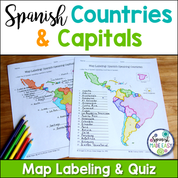
Spanish-Speaking Countries and Capitals Maps and Quiz
This is a map labeling activity and matching quiz over the 21 Spanish-speaking countries and capitals. Students will label and identify the 21 Spanish-speaking countries and capitals in Spanish. This is a great activity when reviewing Spanish-speaking countries and capitals or Spanish geography. Makes a great coloring page. Answer keys are included.
Countries included:
España, México, Costa Rica, El Salvador, Guatemala, Honduras, Nicaragua, Panamá, Cuba, La República Dominicana, Puerto Rico, Ar
Subjects:
Grades:
6th - 12th
Also included in: Spanish Countries and Capitals Geography Bundle
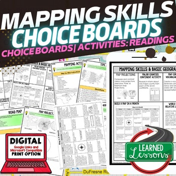
Geography Mapping Skills Activities, Geography Choice Board, Reading Passages
Mapping Skills and Basic Geography Choice Boards, Mapping Skills Readings Google Classroom, Print & Digital Learning provides differentiated activities to use with students to master the content. THIS IS ALSO PART OF SEVERAL BUNDLES World Geography MEGA BUNDLE AND World Geography Choice Board Activity BUNDLE AND Mapping Skills BUNDLE Choice Board Activities and Mapping Skills Readings Including the following: Mapping ActivityCartographerMap ScaleTypes of MapsTime ZonesRoad MapsLand and Wate
Grades:
7th - 12th
Types:
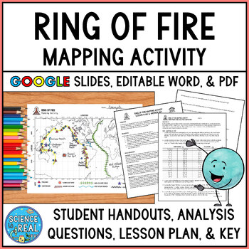
Ring of Fire Mapping Activity and Questions - Earthquakes and Volcanoes
⭐ ⭐ ⭐ ⭐ In this fun and engaging ring of fire mapping activity, students plot the coordinates of past earthquakes and volcanoes along the ring of fire using an easy to read Pacific-centered world map. Students will then draw other geologic features on their maps such as trenches, mountain ranges, hot spots, and mid-ocean ridge. After the map is complete, students will answer 25 analysis questions. Editable MS Word version, PDF version, and Google Slides version are all included!I complete this w
Subjects:
Grades:
8th - 12th
Types:
NGSS:
MS-ESS2-3
, HS-ESS2-1
, MS-ESS2-2
, HS-ESS1-5
Also included in: Plate Tectonics Growing Discount Bundle
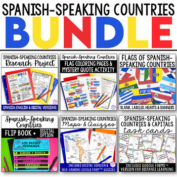
Spanish Speaking Countries BUNDLE Project Maps Flip Book Quizzes + DIGITAL
This money-saving bundle has everything you need to teach the Spanish-speaking countries, their locations, and capitals! Includes maps, quizzes, project, activities, and more! Save over 30% on this bundle of the following items:Spanish-Speaking Countries Flip BookNo cut, no waste, 6 page / 3 pieces of paper printable flip bookDigital flip book in Google Slides for paperless or distance learningWestern Europe map to label SpainWest Africa map to label Equatorial GuineaCentral America / North Am
Subjects:
Grades:
6th - 12th
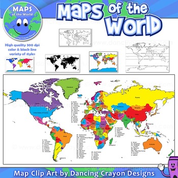
Maps of the World: Clip Art World Maps
Maps of the World: Clip Art World Maps
High quality color and black and white maps of the world.
This clipart map set contains the following commercial use graphics:
- Color maps of the world
- Black and white line art maps of the world
- Maps of the world with lines of latitude and without lines of latitude
- Maps of the world with larger countries labelled (color and black and white)
- Silhouette maps of the world
- A map of the world showing seven continents in color and black and white:
Grades:
3rd - 12th, Higher Education, Adult Education, Staff
Also included in: Maps of the World Clip Art - MEGA-BUNDLE
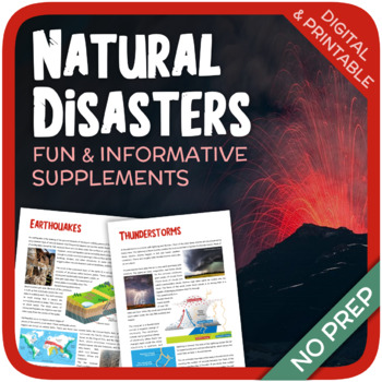
Natural Disasters
Let's learn about Natural Disasters! This worksheet includes 34 pages with a large variety of activities and exercises about natural disasters. Crosswords, word searches, puzzles and other kinds of activities are included to make it a fun and interesting class. The answers and an answer sheet are included. GOOGLE SLIDES AND FILLABLE PDF VERSIONS INCLUDED!Overview: Page 1-2: Introduction Page 3-4: EarthquakesPage 5-7: HurricanesPage 8-9: FloodsPage 10-11: Volcanic EruptionsPage 12-13: TsunamisPag
Subjects:
Grades:
5th - 12th
Types:
Also included in: Geography Bundle (Nature, Oceans, Ecosystems, and Natural Disasters)
Global Issues Contemporary World Problems Human Geography Course Bundle
This tightly-woven semester course combines Human Geography, Current Events, Contemporary World Issues, and Environmental Science into a must-teach inquiry-driven, real-world, project-based experience.With these thematic, inquiry-driven units that build on each other, ask students to decide for themselves where they fit in this complex, competitive, and connected global village. You will guide them in exploring everything from the human population growth to globalization to natural resource sust
Subjects:
Grades:
9th - 12th
Types:
CCSS:
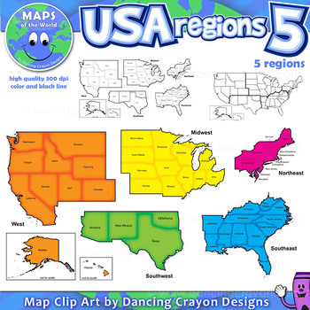
Regions of the USA: Five Regions - Map Clip Art
Regions of the USA: Five Regions - Map Clip Art
.............................................................................................
Please check the regions in this set before purchase. We offer a choice of THREE different US Region Map Sets:
USA divided into FOUR regions / NINE divisions (as set out by the United States Census Bureau)
USA divided into FOUR regions / TEN divisions (as taught in some states)
Please read on for more information about THIS region set:
............
Grades:
3rd - 12th, Staff
Also included in: Maps of the World Clip Art - MEGA-BUNDLE
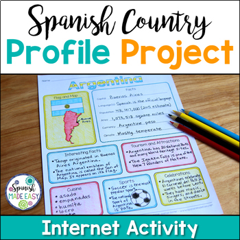
Spanish Country Profile Project
This is a country profile project over the 21 Spanish-speaking countries. Students will research important geographical and cultural facts about each country. This activity includes a blank country profile template, a template for each country, a list of Spanish-speaking countries, and a grading rubric in both English and Spanish. Research topics include: Countries flag, map, capital, language(s), population, area, currency, climate, interesting facts, tourism and attractions, cuisine, sports, a
Subjects:
Grades:
2nd - 12th
Types:
Also included in: Spanish Countries and Capitals Geography Bundle
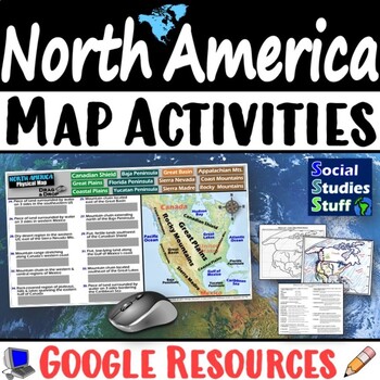
Geography of North America Map Practice Activities | USA Canada Mexico | Google
End the cycle of bored students copying from books to label maps! Your classes think critically with these digital, interactive, geography activities. First, students answer questions about North America by analyzing various physical & political maps of the region. Then, a drag & drop challenge assesses their learning of the locations. This resource also includes a printable worksheet that takes labeling maps to the next level! They create a map of the United States, Canada, and Mexico u
Subjects:
Grades:
5th - 12th
CCSS:
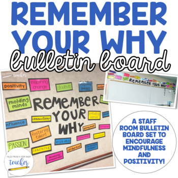
Staff Room Bulletin Board Set {Remember Your Why} English and Spanish
Staff Room Bulletin Board SetUpdated in July 2020 with a Spanish Title and Spanish Words Updated in July 2020 with notes for teachers to write their "whys" to add to the bulletin board, too!Encourage your staff with some uplifting words and phrases they can remember each time they step into your staff room.Included in the download:Blackline master for the titleBlackline master for the words and phrasesDirections for assembly and example pictures***************************************************
Subjects:
Grades:
PreK - 12th, Staff
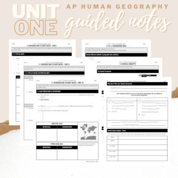
Unit 1: Student Guided Notes - AP Human Geography
Notes pages for each CED topic for Unit One. Use the guided notes to scaffold your Human Geography lectures or use the notes with my accompanying lecture videos on Youtube! You can find one or more lectures that correlate directly with EACH CED Topic for AP Human Geography Unit 1 here. Students can use as a study guide, you can assign for homework, or use with a self-guided lecture! You can assign this to be completed digitally for distance learning or print and have students complete hardcopy.
Subjects:
Grades:
9th - 12th
Types:
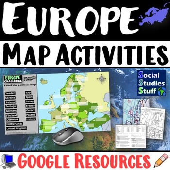
Geography of Europe Map Practice Activities | Print and Digital | Google
End the cycle of bored students copying from books to label maps! Your classes think critically with these digital, interactive, geography activities. First, students answer questions about Europe by analyzing various physical & political maps of the region. Then, a drag & drop challenge assesses their learning of the locations. This resource also includes a printable worksheet that takes labeling maps to the next level! They create a map using only absolute & relative location clues
Subjects:
Grades:
5th - 12th
CCSS:
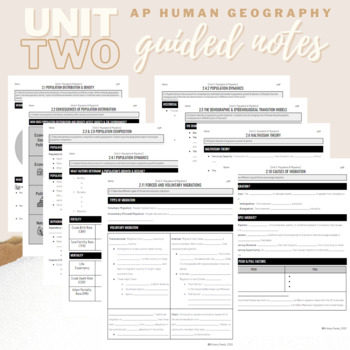
Unit 2: Student Guided Notes - AP Human Geography
Notes pages for each CED topic for Unit Two.Use the guided notes to scaffold your Human Geography lectures or use the notes with my accompanying lecture slideshow! You can find slideshow lectures that correlate directly with EACH CED Topic for AP Human Geography Unit 2 here.Students can use as a study guide, you can assign for homework, or use with a self-guided lecture! You can assign this to be completed digitally for distance learning or print and have students complete hardcopy.So many uses!
Subjects:
Grades:
9th - 12th
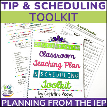
Special Education Schedule & Planning Toolkit - IEP Teaching Intervention Plan
Everything you need, minus the students and IEPs, for creating a special education schedule based on your students’ individual needs is included in this comprehensive product! Your IEP planning will become a breeze with this easy to follow special education planning toolkit. This IEP planning toolkit provides templates, examples, cheat sheets and videos to help you plan out the instructions for each of your students based on their IEP. Then, from that plan (the Teaching Intervention Plan - TIP
Grades:
PreK - 12th
Types:
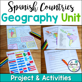
Spanish Countries and Capitals Geography Bundle
This is a Geography Unit with 4 resources over the 21 Spanish-Speaking Countries and Capitals. In this bundle you will receive a Spanish-speaking country profile project, 2 map labeling activities, a matching quiz activity, an internet scavenger hunt, and a 2 page coloring activity with the 21 flags of the Spanish-speaking world. Answer keys and examples are included. Purchase this bundle and save over 25% off the following resources:Spanish-Speaking Country Profile ProjectSpanish-Speaking Count
Subjects:
Grades:
6th - 12th
Types:
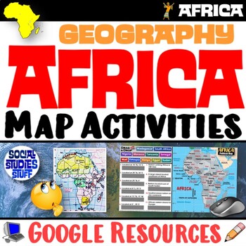
Geography of Africa Map Practice Activities | Print and Digital | Google
End the cycle of bored students copying from books to label maps! Your classes think critically with these digital, interactive, geography activities. First, students answer questions about Africa by analyzing various physical & political maps of the region. Then, a drag & drop challenge assesses their learning of the locations. This resource also includes a printable worksheet that takes labeling maps to the next level! They create a map using only absolute & relative location clues
Subjects:
Grades:
5th - 12th
CCSS:
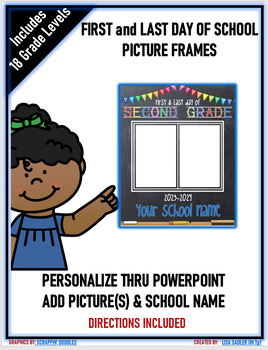
First and Last Day of School Picture Frames - PreK - Senior - 2023-24
2023-2024 First and Last Day of School Picture Frames that can be used for both Distance Learning and In-Person! The frames are a PowerPoint slide and include PreK - Senior Year templates. JUST ADDED: PRE K-3 , HEAD START AND TRANSITIONAL KINDERGARTEN! You can personalize the frame by adding your school name and up to 2 pictures (first and last day of school) BONUS: It includes step-by-step directions on how to insert the picture, how to print, and how to save the frame as a jpeg file for em
Grades:
PreK - 12th
Types:
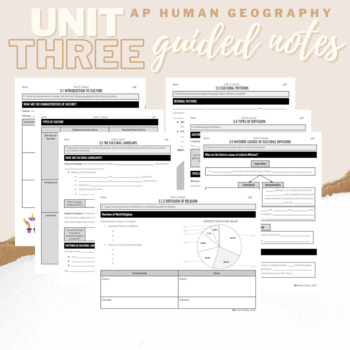
Unit 3: Student Guided Notes - AP Human Geography
Notes pages for each CED topic for Unit Three.Use the guided notes to scaffold your Human Geography lectures or use the notes with my accompanying lecture slideshow! You can find slideshow lectures that correlate directly with EACH CED Topic for AP Human Geography Unit 3 here.Students can use as a study guide, you can assign for homework, or use with a self-guided lecture! You can assign this to be completed digitally for distance learning or print and have students complete hardcopy.So many use
Subjects:
Grades:
9th - 12th
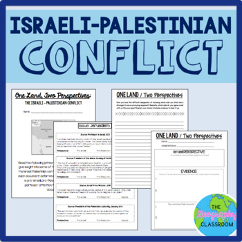
Israel Palestine Conflict History Set
This set includes several resources and activities to use when teaching the complicated Israeli-Palestinian conflict. This set includes:- A short reading on the "two-state solution"- Several primary source documents that help students understand the major issues preventing a two-state solution. As students read the documents, they have to decide whether each document has a pro-Israeli perspective, a pro-Palestinian perspective, or a neutral perspective. - 12 page PowerPoint slides for teachers t
Grades:
6th - 12th
Types:
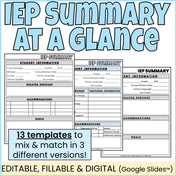
IEP At a Glance l IEP Summary l IEP Snapshot l EDITABLE FILLABLE & DIGITAL
Use these 13 different editable and digital IEP Summary Templates (IEP At-a-Glance) to quickly communicate the most essential parts of a student's IEP with important stakeholders at the beginning of the year. Choose one of three different templates, and mix and match to create a 1 or 2 page IEP cheatsheet that are perfect to fill out and share with co-teachers, general education teachers, paraprofessionals, student teachers, parents, related services workers, or any other important people who re
Grades:
K - 12th, Staff, Not Grade Specific
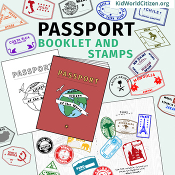
Passport Booklet & Stamps Growing Bundle: Around the World Unit, Geography Fair
These passport stamps and passport booklet are absolutely amazing!!! Perfect for an around the world unit, introduction to country studies, a Geography Fair, International Night, Social Studies Units, "Read Around the World" Passports, or Christmas Around the World (or Holidays Around the World). Save now by getting in early on this GROWING BUNDLE as we will be adding country stamps in the near future!The passport booklet is authentic, appropriate for students in any country ("Citizen of the Wor
Grades:
PreK - 12th
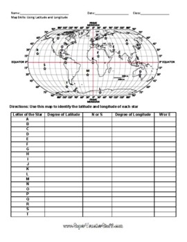
Latitude and Longitude Worksheet & Answer Key
This worksheet is an awesome way to teach Latitude and Longitude. The way that it is structured reinforces that Latitude measures North and South of the Equator, and that Longitude measures East and West of the Prime Meridian. This worksheet features a World Map with an Answer Key.
Subjects:
Grades:
3rd - 12th, Higher Education, Adult Education
Types:
Showing 1-24 of 31,000+ results

