8 results
U.S. History Common Core 5.G.A.1 resources $10 and up
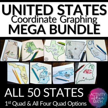
United States Coordinate Graphing Pictures BUNDLE All 50 States
HUGE BUNDLE Need a way to use math while learning about the different states? Students will graph points on a coordinate plane and it creates an outline of the State. There is also a star on the state Capital and the state's abbreviation. The clever titles of the state’s nickname gives them a clue to what the picture will be. ★Want to know some tips to use these in ALL subjects? Click here to read my Blog Post !★I have included Student Instructions for both Quadrant One ONLY and instructions tha
Subjects:
Grades:
5th - 9th
Types:
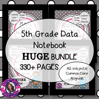
Data Notebook | 5th Grade | All Subjects
This package is perfect for any 5th grade classroom wanting to implement Data Notebooks into their classroom. This is an ALL INCLUSIVE BUNDLE over 330 pages of printables! This notebook encourages independence and development of individual ideas and goals through leadership. The data notebook includes individual standards by standard abbreviations for example RI.5.1. All of the smaller 5th grade data notebooks are included in this bundle.This data notebook is used to create independent and se
Subjects:
Grades:
5th
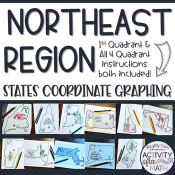
Northeast Region STATES Coordinate Graphing Pictures BUNDLE
NORTHEAST REGION HUGE BUNDLE Need a way to use math while learning about the different states in the Northeast Region? Students will graph points on a coordinate plane and it creates an outline of the State. There is also a star on the state Capital and the state's abbreviation. The clever titles of the state’s nickname gives them a clue to what the picture will be. CLICK HERE to SAVE with ALL 50 STATES BUNDLE★Want to know some tips to use these in ALL subjects? Click here to read my Blog Post !
Subjects:
Grades:
5th - 9th
Types:
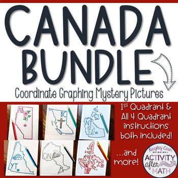
CANADA Coordinate Graphing Picture BUNDLE
HUGE BUNDLE Need a way to use math while learning about the different territories and provinces in Canada? Students will graph points on a coordinate plane and it creates an outline of the Province or Territory. There is also a star on the Capital and the Province/Territory's abbreviation. The clever titles of the Province/Territory’s nickname or slogan gives them a clue to what the picture will be. **PLEASE NOTE: This is a growing Bundle which means all have not yet been completed. As additiona
Subjects:
Grades:
5th - 9th
Types:
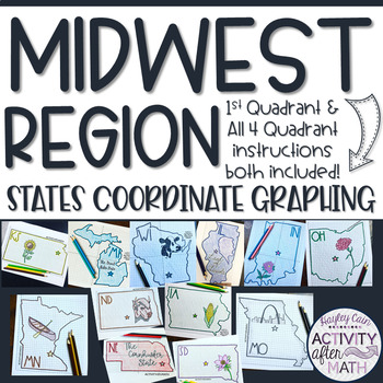
Midwest Region STATES Coordinate Graphing Pictures BUNDLE
MIDWEST REGION HUGE BUNDLE Need a way to use math while learning about the different states in the Midwest Region? Students will graph points on a coordinate plane and it creates an outline of the State. There is also a star on the state Capital and the state's abbreviation. The clever titles of the state’s nickname gives them a clue to what the picture will be. CLICK HERE to SAVE with ALL 50 STATES BUNDLE★Want to know some tips to use these in ALL subjects? Click here to read my Blog Post !★I h
Subjects:
Grades:
5th - 9th
Types:
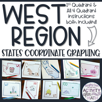
West Region STATES Coordinate Graphing Pictures BUNDLE
WEST REGION HUGE BUNDLE Need a way to use math while learning about the different states in the West Region? Students will graph points on a coordinate plane and it creates an outline of the State. There is also a star on the state Capital and the state's abbreviation. The clever titles of the state’s nickname gives them a clue to what the picture will be. CLICK HERE to SAVE with ALL 50 STATES BUNDLE★Want to know some tips to use these in ALL subjects? Click here to read my Blog Post !★I have in
Subjects:
Grades:
5th - 9th
Types:
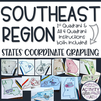
Southeast Region STATES Coordinate Graphing Pictures BUNDLE
SOUTHEAST REGION HUGE BUNDLE Need a way to use math while learning about the different states in the Southeast Region? Students will graph points on a coordinate plane and it creates an outline of the State. There is also a star on the state Capital and the state's abbreviation. The clever titles of the state’s nickname gives them a clue to what the picture will be. CLICK HERE to SAVE with ALL 50 STATES BUNDLE★Want to know some tips to use these in ALL subjects? Click here to read my Blog Post !
Subjects:
Grades:
5th - 9th
Types:
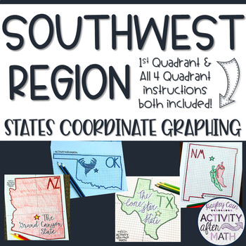
Southwest Region STATES Coordinate Graphing Pictures BUNDLE
SOUTHWEST REGION HUGE BUNDLE Need a way to use math while learning about the different states in the Southwest Region? Students will graph points on a coordinate plane and it creates an outline of the State. There is also a star on the state Capital and the state's abbreviation. The clever titles of the state’s nickname gives them a clue to what the picture will be. CLICK HERE to SAVE with ALL 50 STATES BUNDLE★Want to know some tips to use these in ALL subjects? Click here to read my Blog Post !
Subjects:
Grades:
5th - 9th
Types:
Showing 1-8 of 8 results


