26 results
Geography resources for Microsoft PowerPoint and for Montessori
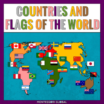
Montessori Continents
Montessori Continents is a Montessori-inspired product bundle to help learn about the countries of North America, South America, Europe, Africa, Asia and Australia, their capital cities, as well as their flags.This product helps children learn about: North AmericaSouth AmericaAsiaAfricaEuropeAustralia INCLUDED:184 sets of Montessori 3 Part Cards and control cards, including the countries of Australia and their capitals as well as flags for Australian countries6 x Unlabelled Maps of the world con
Subjects:
Grades:
2nd - 3rd
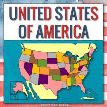
The United States of America - States and Capitals
Introduce the United States of America, their flags, and their capital cities with these printable Montessori 4 part nomenclature cards, control of error cards, PowerPoint presentation, Boom Cards™, map posters, printable, TPT Easel Assessment and a TPT Easel digital country research activity. A collection of color photographs depicting USA is also included as a wonderful addition to Montessori continent folders. INCLUDED:1. 50 x 4 Part Cards2. 50 x Control Cards3. 1 x Unlabelled Map of the USA4
Subjects:
Grades:
3rd - 5th
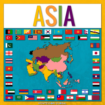
Countries of the Asian Continent
Countries of the Asian Continent is a Montessori-inspired product to help learn about the countries of Asia and their capitals, as well as flags for Asian countries. INCLUDED:46 sets of Montessori 3 Part Cards and control cards, including the countries of Asia and their capitals as well as flags for Asian countries1 x Unlabelled Map of Asia in the colors of the Montessori Puzzle Maps1 x Labelled Map of Asia in the colors of the Montessori Puzzle Maps1 x World Map in the colors of the Montessori
Subjects:
Grades:
2nd - 3rd
Also included in: Montessori Continents
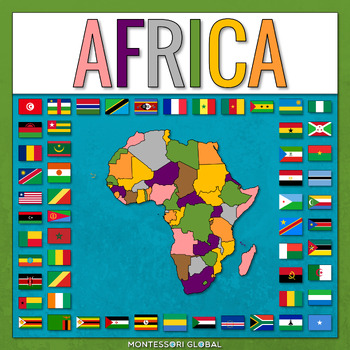
African Countries with Flags
African Countries with Flags is a Montessori-inspired product to help learn about the countries of Africa and their capitals, as well as flags for African countries. INCLUDED:53 sets of Montessori 3 Part Cards and control cards, including the countries of Africa and their capitals as well as flags for African countries1 x Unlabelled Map of Africa in the colors of the Montessori Puzzle Maps1 x Labelled Map of Africa in the colors of the Montessori Puzzle Maps1 x World Map in the colors of the Mo
Subjects:
Grades:
1st - 2nd
Also included in: Montessori Continents
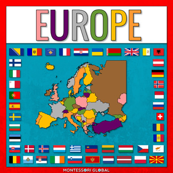
European Countries with Capitals
European Countries with Capitals is a Montessori-inspired product to help learn about the countries of Europe and their capitals, as well as flags for European countries. INCLUDED:45 sets of Montessori 3 Part Cards and control cards, including the countries of Europe and their capitals as well as flags for European countries1 x Unlabelled Map of Europe in the colors of the Montessori Puzzle Maps1 x Labelled Map of Europe in the colors of the Montessori Puzzle Maps1 x World Map in the colors of
Subjects:
Grades:
2nd - 3rd
Also included in: Montessori Continents
African Countries - Let's learn to name them!
A fun, motivating way for learners to engage!***Montessori friendly!***‘Countries of the world – Africa,’ presents as an interactive, self-correcting PowerPoint, encouraging students to locate and name the countries that make up Africa. The presentation may be used by individuals or groups as a teaching or self-evaluative tool. Please enjoy a fun way to learn and engaging the senses! ---Copyright CLEE 2020. Images not for resale or redistribution. Resale and redistribution of this PowerPoint an
Subjects:
Grades:
4th - 12th, Adult Education
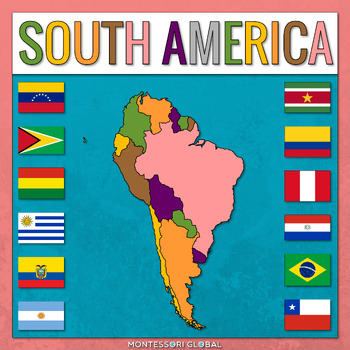
South America Countries with Capitals
South America Countries with Capitals is a Montessori-inspired product to help learn about the countries of South America and their capitals, as well as flags for South America countries. INCLUDED:12 sets of Montessori 3 Part Cards and control cards, including the countries of South America and their capitals as well as flags for South American countries1 x Unlabelled Map of South America in the colors of the Montessori Puzzle Maps1 x Labelled Map of South America in the colors of the Montessor
Subjects:
Grades:
2nd - 3rd
Also included in: Montessori Continents
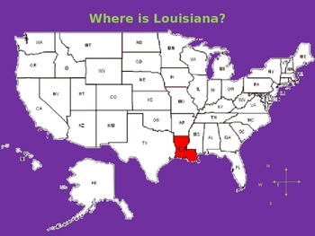
My Aunt Came Back - Powerpoint with Map of Louisiana and Objects/Foods
Use this PowerPoint to show your students where Louisiana is in the USA. Then, show them the map of Louisiana and all of the places the "Aunt Came Back" and the items she "Brought Me Back". The PowerPoint is editable so you can move the items to the city/parish as you read the story.
Enjoy!
Subjects:
Grades:
PreK - 5th
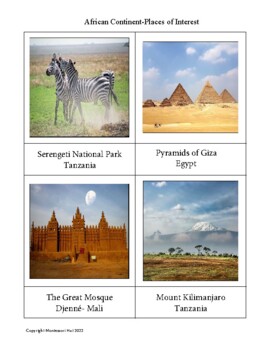
Montessori Geography- African Continent -Famous Places
Geography three-part cards for ages 4-7 yrs. Instructions are given in the file. The cards can be used for learning about the continent of Africa and picture and word matching. For older children writing 1-5 sentences about their favorite place is recommended
Subjects:
Grades:
K - 2nd, Staff
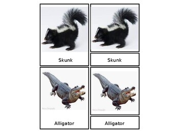
Continent Animal Nomenclature Cards
These Animal Nomenclature cards help engage students in Language Arts and Geography/ Science.
Subjects:
Grades:
PreK - 3rd
Types:
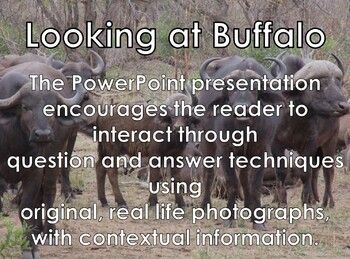
AFRICAN BUFFALO - Interactive PowerPoint presentation including video snippets
Buffalo - Interactive PowerPoint presentation including 4 video snippetsThis individual AFRICAN ANIMAL slide show is part of a set that can be used:as an introduction to an African animal studyas the basis for research paper informationto enhance reading skillsfor reading comprehensionto encourage discussionto increase general knowledgeto develop vocabularyto develop logical thinkingto build up on existing knowledgeto stimulate curiosity, and a love for learningto summarize facts, reinforcing wh
Subjects:
Grades:
PreK - 10th, Adult Education
Land and Water Forms Interactive Presentation
This is a 16 slide PowerPoint that also has activities that the children do along with the slide show. There is even a quiz at the end that has a built in control of error (sound). The children will enjoy creating the land and water forms with clay and a spray bottle of blue-colored water. It includes lake/island, cape/bay and system of lakes/archipelago. I usually have the children work in pairs with a dual headphone adapter. They work on the computer with a nearby table for activities.
Subjects:
Grades:
1st - 3rd
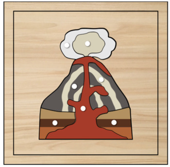
Volcano Moveable Digital Puzzle
Educational Volcano Moveable Digital PuzzleThis is an Digital version that helps teachers in virtual classes easily demonstrate to students.
Subjects:
Grades:
PreK - 9th
Types:
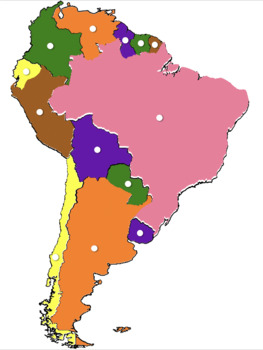
South America Montessori Digital Geography
This is an Digital version that helps teachers in virtual classes easily demonstrate to students.
Subjects:
Grades:
PreK - 9th
Types:
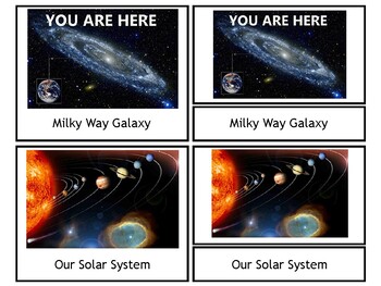
My Place in Space nomenclature Montessori geography cards PLUS vocabulary cards
*My Place in Space nomenclature Montessori geography cards PLUS vocabulary cards* can be used to help students understand their location in the galaxy as well as simple definitions of geography terms. Because of the many different locations, the document has been created so that it can be edited by the teacher to tailor the cards to a specific location. The teacher will need to find images of the locations needed. My example leads to the state of Kentucky. The following 3-part nomenclature ca
Subjects:
Grades:
PreK - 5th
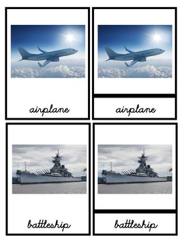
Montessori Land Water Air 3 Part Cards - Transportation (Cursive); Eng/Span
Montessori 3 part cards for completing land, water, air sorting with transportation. These cards are made using items from various Toobs. They are made using cursive. There are English cards and Spanish cards. 20 pages (10 pages in English and 10 pages in Spanish) in total.
Subjects:
Grades:
PreK - 1st
Types:
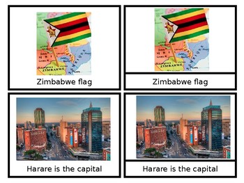
Zimbabwe - African Countries - Nomenclature Cards
Teach your little kings and queens about the country of Zimbabwe using these nomenclature cards specifically made for them! Just print and go!
Grades:
PreK - 2nd
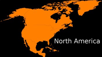
North America: Countries and Flags Presentation
North America: Countries and Flags PresentationNorth America, Central America, and Caribbean IslandsGreat for virtual learning!One country/flag per slide; 17 countriesUnited StatesCanadaGreenlandMexicoGuatemalaBelizeHondurasEl SalvadorNicaraguaCosta RicaPanamaCubaJamaicaBahamasHaitiDominican RepublicPuerto Rico
Subjects:
Grades:
PreK - K
Continent Nomenclature 3 part cards - Print
Continent Nomenclature / 3 part cards - in PrintAsiaAfricaAntarcticaAustraliaSouth AmericaNorth AmericaEurope
Subjects:
Grades:
PreK - 4th
Also included in: Montessori Bundle 2-6yr Nomenclature Cards in Print Font BONUS FREE FILE
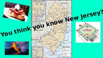
NEW JERSEY - fun facts/trivia!!
I created this for my YouTube channel (Speechie Educator)...Once downloaded and you pull up the PPT file, if you select Slide Show - start from beginning, it will play as a video. You or the students will need to read the statements aloud. You can pause it along the way to discuss the information! Enjoy!!
Grades:
3rd - 9th, Adult Education
Types:
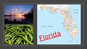
FLORIDA - fun facts/trivia!!
I created this for my YouTube channel (Speechie Educator)...Once downloaded and you pull up the PPT file, if you select Slide Show - start from beginning, it will play as a video. You or the students will need to read the statements aloud. You can pause it along the way to discuss the information! Enjoy!!
Grades:
3rd - 9th, Adult Education
Types:
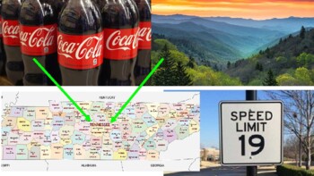
TENNESSEE fun facts/trivia!!
I created this for my YouTube channel (Speechie Educator)...Once downloaded and you pull up the PPT file, if you select Slide Show - start from beginning, it will play as a video. You or the students will need to read the statements aloud. You can pause it along the way to discuss the information! Enjoy!!
Grades:
3rd - 10th, Adult Education
Types:
Montessori Geography 4th-6th Grade
Montessori Geography PowerPoint for 4th-6th Graders. I used the standards based on the Hilltop Montessori School website to create this PowerPoint. https://hilltopmontessori.com/curriculum/upper-elementary-curriculum/ This is for creative use only.
Subjects:
Grades:
3rd - 7th
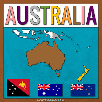
Australian Countries
Australian Countries is a Montessori-inspired product to help learn about the countries of Australia and their capitals, as well as flags for Australian countries. INCLUDED:3 sets of Montessori 3 Part Cards and control cards, including the countries of Australia and their capitals as well as flags for Australian countries1 x Unlabelled Map of Australia in the colors of the Montessori Puzzle Maps1 x Labelled Map of Australia in the colors of the Montessori Puzzle Maps1 x World Map in the colors
Subjects:
Grades:
2nd - 3rd
Also included in: Montessori Continents
Showing 1-24 of 26 results


