806 results
7th grade geography resources for homeschool on sale
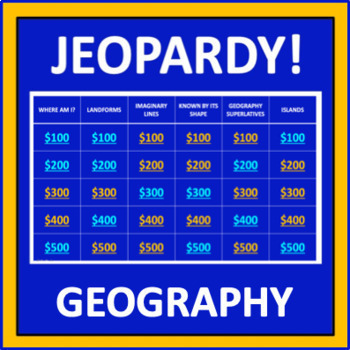
Geography Jeopardy - an interactive social studies game
Geography Jeopardy is an interactive game in which students answer geography trivia questions. This resource reflects the popular TV game show, but adaptations have been made so it can be played in the classroom. The categories are:Where Am I?LandformsImaginary LinesKnown by Its ShapeGeography SuperlativesIslandsParts of a MapCountries Starting with "I"Colorful PlacesWater! Water! Water!ContinentsFamous LandmarksWhere in the World?*SIGN UP AS A FOLLOWER OF “OFF THE PAGE” AND GET NOTIFICATIONS OF
Grades:
5th - 8th
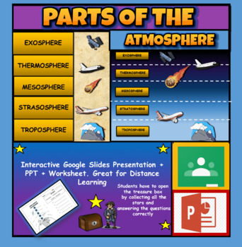
Layers Of The Atmosphere: Interactive Google Slides + PPT Version + Worksheet
Layers Of The Atmosphere: Interactive Google Slides + PPT + Worksheet (Distance Learning)Interactive presentation & quiz on Layers of the atmosphere. Please view the powerpoint previewINTERACTIVE GOOGLE SLIDES/POWER POINT PRESENTATION on layers of the atmosphere. It can be used for distance learning and google classroom or within the classroom.Once downloaded: Please view the GOOGLE SLIDES/POWERPOINT IN 'PRESENT ▶️' modeWorksheet also included in ZIP file 'Parts of the atmosphere' .These are
Subjects:
Grades:
3rd - 8th
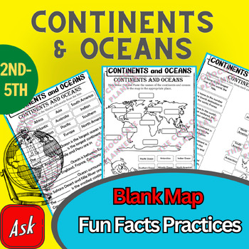
Continents And Oceans | Maps & Globes 7 Continets & Oceans | Facts Activities
Learning about continents and oceans on a map is a great way to engage students and help them remember all seven continents and major oceans in geography. This resource provides tons of practice on maps to help your kids identify the continents and oceans, as well as learn fun new information about each continent and ocean.The facts about continents and oceans are designed in different interactive formats to help your kids engage and have fun while completing them.As there are many questions reg
Subjects:
Grades:
2nd - 5th
Types:
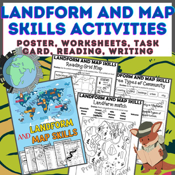
Landform & Map Skills Activity (Poster, Worksheets, Task card, Reading, Writing
Let's spice up your landform and map skills lessons and make learning super fun for your second, third, and fourth-grade students. This Landform & Map Skills Activity (Poster, Worksheets, Task card, Reading, Writing resource covers cool topics like maps, globes, continents, oceans, landforms, suburban, urban, rural areas, directions, and more!The best part? You can use these map skills and landform activities during whole group instruction, independent work, or center time. It's all about fl
Grades:
3rd - 5th
Types:
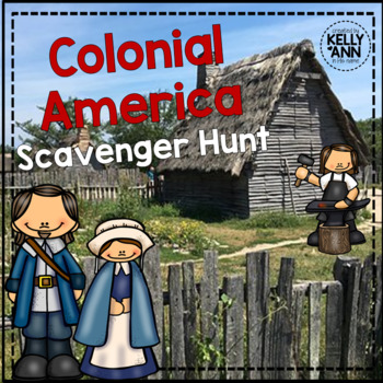
Colonial America Activity for 13 Colonies; 13 Colonies Activities
13 Colonies {New England, Middle, Southern} Scavenger Hunt Activity: A content-rich and fun way to engage students and introduce your unit! ♥You have to see the preview! OVER 600 sold and LOVED!♥This is part of my Colonies BUNDLE {3 Activities!} Let intermediate-middle grade students get up and MOVE while you introduce them to Colonial America!! In this activity, they will complete a scavenger hunt to find important information about the 13 original colonies, the New England, Middle, and Souther
Grades:
4th - 7th
Types:
Also included in: 13 Colonies Activity BUNDLE for Colonial America
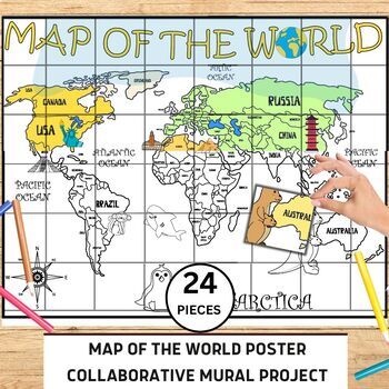
World Map Collaborative Poster Mural Project - Geography Unit , Classroom Decor
⭐️⭐️World Map Mural Collaborative Project Poster⭐️⭐️Transform your classroom with the Collaborative World Map Mural, a captivating and educational poster set. Consisting of 24 6x7 inch square pieces, students can contribute to this engaging bulletin board project. The mural promotes teamwork, critical thinking, and geographical awareness as students research and add drawings, facts, and experiences to represent different regions, countries, and landmarks. This visually stunning display fosters a
Grades:
1st - 4th
Also included in: 21 Collaboration Posters Mural Project - Classroom Decor ,Craft, BUNDLE
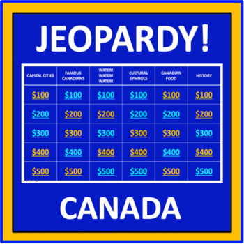
Canada Jeopardy - an interactive social studies game
Canada Jeopardy is also available at World Countries Jeopardy Bundle available at this store.Canada Jeopardy is an interactive game in which students answer questions about Canada. This resource reflects the popular TV game show, but adaptations have been made so it can be played in the classroom. The categories are:Capital CitiesFamous CanadiansWater! Water! Water!Cultural SymbolsCanadian FoodHistoryProvinces and TerritoriesSurnames of Prime MinistersLandmarksSportsEn FrançaisFesitvals and Cele
Grades:
5th - 8th
Also included in: World Countries Jeopardy Bundle - a collection of games
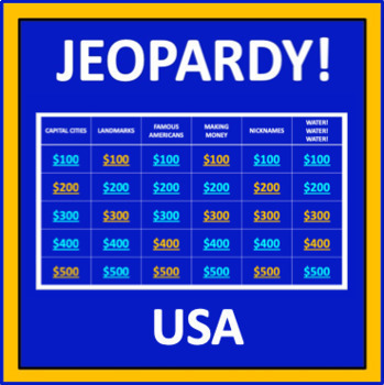
USA Jeopardy - an interactive social studies game
USA Jeopardy is also available at World Countries Jeopardy Bundle available at this store.USA Jeopardy is an interactive game in which students answer trivia questions about the United States. This resource reflects the popular TV game show, but adaptations have been made so it can be played in the classroom. The categories are:Capital CitiesLandmarksFamous AmericansMaking MoneyNicknamesWater! Water! Water!State SilhouettesTourist AttractionsPresidentsState the FactsLogosUSA TriviaA Number of Th
Subjects:
Grades:
5th - 8th
Also included in: World Countries Jeopardy Bundle - a collection of games
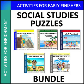
Social Studies Puzzles Bundle - enrichment for early finishers
Social Studies Puzzles Bundle is a collection of social studies activities for enrichment, sub plans, stations, and early finishers. The topics include “Geography”, “World Countries”, “USA”, “Maps”, and “People and Places”.This bundle includes:Chain Link PlacesCriss CrossCrypto CountriesCrypto FactsCrypto FamilesDot-to-DotDouble PuzzleFallen PhrasesGrid ChallengeHidden CountriesHidden StatesLetter BlocksLetter TilesLogic ProblemMatch Dot ArtMissing CitiesPicture PuzzlersResearch RiddlesShared Na
Grades:
5th - 8th
Types:
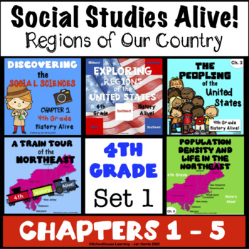
4th Grade Social Studies Alive! Regions of Our Country - Chapters 1 - 5 Set 1
**SAVE BIG BUYING SETS!** Enclosed you will find the first 5 chapters of 4th Grade Social Studies Alive! Region's of Our Country Task Cards. There are 24 multiple choice task cards in each set. Buy now and save BIG!****************************************************************************************************************Included you will find:Discovering the Social Sciences Ch. 1 Task Cards History Alive!Exploring Regions of the U.S, Chapter 2 Task Cards - History Alive!The Peopling of the
Grades:
4th
Types:
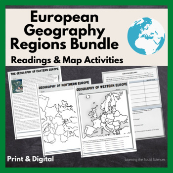
European Regional Geography Bundle Readings & Map Activities: Print & Digital
The readings explain the major geographical and cultural items of Northern, Eastern, Southern, and Western Europe.Each region comes with two map activities, one where they simply list the countries that are numbered on a map (used during distance learning) and another one where they color and label everything.The link to Google Versions is in the key section on the Microsoft Doc & PDF version.Multiple Editable Formats: I have it in multiple formats so you can utilize a version that works for
Grades:
7th - 12th
Types:
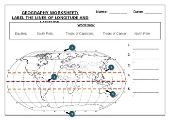
Geography worksheet: Label the lines of longitude and latitude
Geography worksheet: Label the lines of longitude and latitudeStudents have to label the lines of latitude and longitude with the correct names (Equator, South Pole, Tropic of Capricorn, Tropic of Cancer, North Pole)Worksheet aimed at primary level/ high school levelStudent can color in the world map when they are finishedAnswer key included on second page.
Subjects:
Grades:
2nd - 7th
Types:
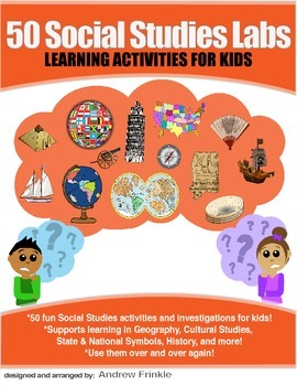
50 Social Studies Labs - Geography History Cultural Studies Economics Government
PREVIEW AVAILABLE!LIKE WHAT YOU SEE? CHECK OUT OTHER STEM RESOURCES IN MY SHOP!FROM THE CREATOR OF 50 STEM LABS & 50 MORE STEM LABS comes this collection of 50 Social Studies Activities for kids. Recommended for grades K to 6 and up! Each one has a snappy title, a brief set of instructions, recommended materials list, and space for notes. These are very adjustable for your classroom, home, or homeschool needs. Do projects for concepts like: Geography, Cultural Studies, Economics, History, G
Grades:
K - 8th
Types:
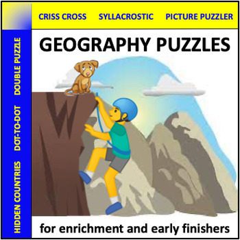
Geography Puzzles - social studies enrichment
Do you need a few more lessons for your geography unit? Geography Puzzles contains six ready-to-use worksheets that are both engaging and educational. These can be used for enrichment, sub plans, stations, or early finishers. This resource is best for Grade 5-8.This resource includes:Criss CrossDouble PuzzleHidden CountriesPicture PuzzlersSyllacrosticWorld Locations Dot-To-Dot*SIGN UP AS A FOLLOWER OF “OFF THE PAGE” AND GET NOTIFICATIONS OF ANY SALES FROM OUR STORE AS WELL AS ALERTS OF NEW PRODU
Subjects:
Grades:
5th - 8th
Types:
Also included in: Social Studies Puzzles Bundle - enrichment for early finishers
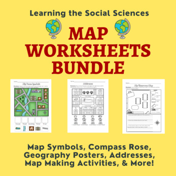
Map Skills Bundle: Symbols, Compass Rose, Globe, Maps, & More
This growing bundle (landforms still to come!!!) contains 50 worksheets, a printable book, geography posters, and a PDF book on maps! Plenty of resources to help you teach about maps!Items from the Map Worksheets Product:Map symbols cut and paste (or drag and drop)Neighborhood streets coloring & writing sheetColor items on the write streetCut and paste symbols & street namesIdentify items using street names (2 different worksheets)Draw a line to help the student get homeColor the house
Grades:
K - 1st
Types:
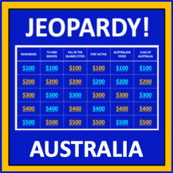
Australia Jeopardy - an interactive social studies game
Australia Jeopardy is also included in World Countries Jeopardy Bundle available at this store.Australia Jeopardy is an interactive game in which students answer questions about Australia. This resource reflects the popular TV game show, but adaptations have been made so it can be played in the classroom. The categories are:NeighborsTV and MoviesFill-in-the-Blank CitiesStay ActiveAustralian FoodFlag of AustraliaHolidays and ObservancesLogosOn the MoneyAustralian AnimalsAussie SlangTourist Destin
Grades:
5th - 8th
Also included in: World Countries Jeopardy Bundle - a collection of games
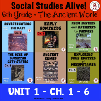
6th Grade Social Studies Alive! The Ancient World Unit 1 - Ch. 1 - 6
**SAVE BIG BUYING SETS!** Enclosed you will find Unit 1 chapters 1 - 6 of 6th Grade Social Studies Alive! America's Past Task Cards. There are 24 multiple choice task cards in each set. Buy now and save BIG!************************************************************************************************************Be sure to check the preview of each of these chapters to see what you are getting.Please be sure to leave feedback and earn TpT points for more great products. Your comments are always
Grades:
6th
Types:
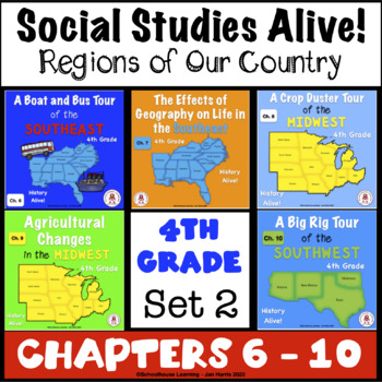
4th Grade Social Studies Alive! Regions of Our Country - Chapters 6 - 10 Set 2
**SAVE BIG BUYING SETS!** Enclosed you will find the first 5 chapters of 4th Grade Social Studies Alive! Region's of Our Country Task Cards. There are 24 multiple choice task cards in each set. Buy now and save BIG!****************************************************************************************************************Included you will find:A Boat and Bus Tour of the Southeast Ch. 6 Task Cards - History Alive!The Effects of Geography on Life in the Southeast Ch. 7 Task CardsA Crop Duster
Grades:
4th
Types:
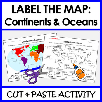
Label Continents and Oceans | Cut & Paste Sorting Activity
Let your students have fun with this cut and paste activity labelling Earth’s 7 continents and 5 oceans. This NO PREP resource provides your students with hands-on opportunity to practice labeling the continents and oceans on a world map. Three different options for a variety of practice: label the continents, label the oceans, or label BOTH the continents and oceans.Click HERE if you want a digital drag and drop version of the same activity designed for Google Slides. This product includes:Cut
Subjects:
Grades:
1st - 4th
Types:
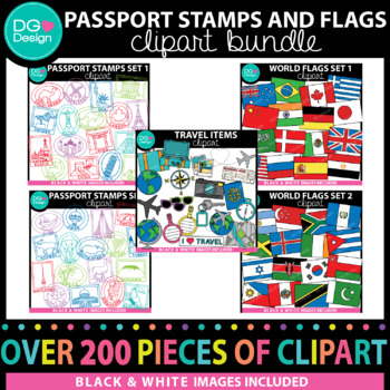
Passport Stamps and Flags Clipart Bundle
This Passport Stamps and Flags Clipart Bundle is the perfect way to take your students on a trip around the world. A great way to teach your students about other countries. Use it for your classroom or for items you make to sell. This bundle includes more then 150 pieces of clip art.All images come in a high quality (300 dpi) PNG format. They can be made bigger or smaller and still keep their crisp clean edges. They all have transparent backgrounds, making layering into your resources a breeze.
Grades:
Staff, Not Grade Specific
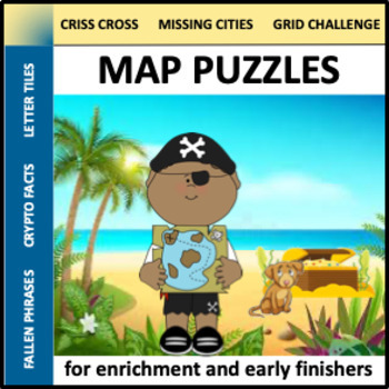
Map Puzzles - social studies enrichment for early finishers
Do you need a few more lessons for your social studies unit? Map Puzzles contains six ready-to-use worksheets that are both engaging and educational. These can be used for enrichment, sub plans, stations, or early finishers. This resource is best for Grade 5-8.This resource includes:Criss CrossCrypto FactsDirection Grid ChallengeFallen PhrasesLetter TilesMissing Cities*SIGN UP AS A FOLLOWER OF “OFF THE PAGE” AND GET NOTIFICATIONS OF ANY SALES FROM OUR STORE AS WELL AS ALERTS OF NEW PRODUCTS. Che
Grades:
5th - 8th
Types:
Also included in: Social Studies Puzzles Bundle - enrichment for early finishers
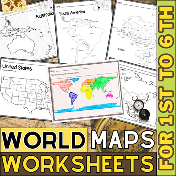
World Map with Countries | Continents and Oceans Blank Map | 1st to 12th Grade
These printable maps will be useful whether you are studying geography, world history, countries around the world, or you are just trying to show your kids the route you are taking on your next vacation! For kids learning about states, we've included a printable map of the world, as well as maps of North and South America, Europe, Asia, Australia, Africa, and Antarctica. Furthermore, the world map printable set comprises labeled and blank options for printing. To print the printable map PDF file
Grades:
K - 12th
Types:
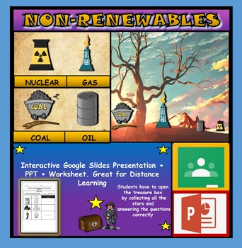
Non-Renewable Energy Sources: Interactive Google Slides + PPT + Worksheet
Non-Renewable Energy Sources: Interactive Google Slides + PPT + Worksheet (Distance Learning)Interactive presentation & quiz on non-renewable energy sources. Please view the powerpoint previewINTERACTIVE GOOGLE SLIDES/POWER POINT PRESENTATION on non-renewable energy resources. It can be used for distance learning and google classroom or within the classroom.Once downloaded: Please view the GOOGLE SLIDES/POWERPOINT IN 'PRESENT ▶️' modeWorksheet also included in ZIP file 'Non-renewable energy
Subjects:
Grades:
1st - 7th
Types:
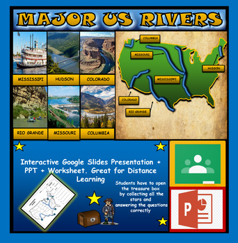
The US Major Rivers : Google Slides. Mississippi. Colorado. Hudson + Worksheets
The US Major Rivers : Google Slides, Distance Learning + Powerpoint Version + Worksheets. Interactive presentation & quiz on US major rivers. Please view the video previewINTERACTIVE GOOGLE SLIDES/POWER POINT PRESENTATION on The US major rivers. It can be used for distance learning and google classroom or on a interactive smartboard in the classroom.Once downloaded: Please view the GOOGLE SLIDES/POWERPOINT IN 'PRESENT ▶️' modeWorksheet also included in ZIP file 'Label the US rivers'. This is
Subjects:
Grades:
2nd - 7th
Also included in: U.S.A Geography Bundle: Google Slides Presentations + PPT's + Worksheets
Showing 1-24 of 806 results


