1,964 results
Women's History Month geography posters for homeschool
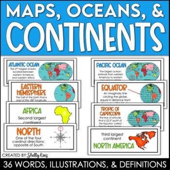
Continents and Oceans Maps and Posters | Geography and Maps Word Wall
Continents and Oceans and Map Skills can be fun to teach, especially when you have this great set of word wall cards. Each card includes the word, definition, and a clear, colorful illustration. Make a great bulletin board in just minutes!Click HERE to save 20% with the Continents, Oceans, and Map Skills BUNDLE!Please click on the PREVIEW above to get a clear picture of everything included.PERFECT for visually reinforcing landform vocabulary!This helpful continents, oceans, and maps word wall se
Grades:
2nd - 8th
Also included in: Maps, Continents and Oceans, Landforms, and Map Skills Bundle
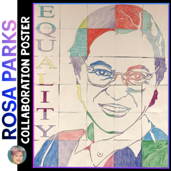
Rosa Parks Collaborative Poster | Great Women's History Month Activity
Rosa Parks Collaborative Portrait Poster. This product contains two methods for making a classroom Rosa Parks collaboration poster. Use these posters for Rosa Parks Day (February 4th or December 1st), Black History Month, Women's History Month, or for any Civil Rights lessons. The final posters make for visually engaging displays. Hang them anywhere!• The library• The front office• A hallway • Your classroom bulletin board These posters are the perfect way to start a unit or to cap one off. They
Grades:
1st - 8th
Types:
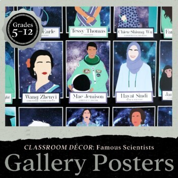
Famous Scientists & Science Careers, Diverse Posters for Bulletin Boards & Decor
Representation matters in classroom décor - When students see themselves in the faces of famous scientists it helps them recognize their own potential for achieving greatness. This beautiful set of 27 posters features a diverse collection of famous scientists and their careers! Print and hang them with the included name tags, or make a game for students to match the names to the scientists. There’s also an extension activity with prompts for students to research and write an essay about one of t
Grades:
5th - 12th
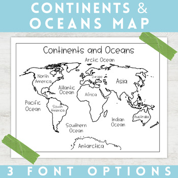
World Map Continents and Oceans | Black and White | Coloring Sheet
Enhance your minimalist classroom with these Black and White World Map with labeled Continents and Oceans!These black and white world map features each of the 7 continents and 5 oceans accurately labeled. These maps are great to print out, laminate, and hang up in a minimalist or neutral classroom. These maps are also great to print out and make copies for students to color! Please feel free to make copies of this resource for your students, or for your own kiddos.Updated 5/29/2024: There are no
Grades:
PreK - 9th
Types:
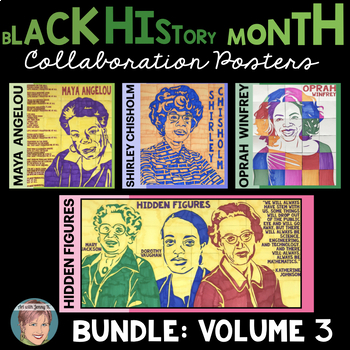
Black History Month Activity: History Makers Collaboration Posters BUNDLE Set 3
Black History Month Collaboration Posters Bundle Set 3. This is the third volume of my Black History Month Collaboration Posters bundled together. There are six (6) History Makers featured in this bundle (four separate posters): Maya AngelouShirley ChisholmOprah WinfreyThe three heroines of the Hidden Figures story—Katherine Johnson, Dorothy Vaughan, and Mary Jackson (all together on a single poster). These posters are great for ANY age or grade as there are poster variations included. You may a
Grades:
1st - 9th
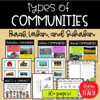
Types of Communities │Rural, Urban, & Suburban
This is the perfect bundle to use when teaching your students about the different types of communities (rural, suburban, and urban)! Your students will enjoy these hands on activities and task cards, which are great to use in centers. Posters are also provided for your students to refer to. Included in this bundle:-"What is a Community" Poster-Rural Communities Poster-Urban Communities Poster-Suburban Communities Poster-Rural, Urban, and Suburban Picture Cards (1 page each, 4 images to a page)-R
Subjects:
Grades:
K - 6th
Types:
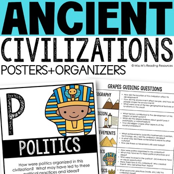
Ancient Civilizations GRAPES Posters Ancient Greece Ancient Rome Ancient China
Help your students learn and organize info about ancient civilizations with these G.R.A.P.E.S. posters, guiding questions, and graphic organizers! The GRAPES Ancient Civilizations Poster and Graphic Organizer Set is an easy acronym to organize information for the basic traits of ancient civilizations. G.R.A.P.E.S. is an acronym for:G- GeographyR- ReligionA- AchievementsP- PoliticsE- EconomicsS- Social StructureGRAPES is an effective way to learn and organize information about different civilizat
Grades:
6th - 8th
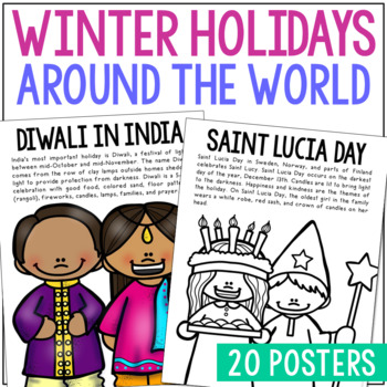
WINTER HOLIDAYS AROUND THE WORLD Posters | Christmas Culture Study Activity
This set of Christmas around the World posters is super versatile! You'll receive the pages in black/white AND full color. Shrink them down for interactive notebook inserts, mini books, bulletin board decor, hall displays, or as a quick coloring page to accompany your read-aloud. Students love these note pages because they provide just enough new vocabulary and ideas to engage but aren’t overwhelming.CLICK HERE to save 25% on this resource in the Christmas Posters Bundle!WINTER HOLIDAY THEMES IN
Grades:
PreK - 5th
Types:
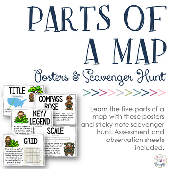
Parts of a Map: Posters & Sticky Note Scavenger Hunt
If you study maps, be sure to check out this resource for additional fun in your classroom!
This will help your students recognize and understand the five parts of a map:
- title
- compass rose
- key/ legend
- scale
- grid
Have students bring in maps from home, spread them around the room, give each child a set of printed sticky notes and have them label the different parts of the map they see.
Included in this set are:
- full-size posters of the five parts of a map
- sticky-note templates f
Subjects:
Grades:
2nd - 5th
Types:
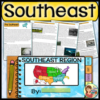
US Regions: Southeast Region (Print and Digital)
This is a comprehensive resource that explores the twelve states in the Southeastern region. A non-fiction informational text packet covers the region’s history, climate, land, economy, natural resources and landmarks. Several other items are included in this resource as well. Please see below for more details. UPDATE: Mississippi's new flag has been added to the poster.★ ★ ★ BUNDLE ALERT! DO NOT MISS THE SAVINGS! ★ ★ ★SAVE 20% OFF individual unit prices when you purchase the Five Regions of
Grades:
4th - 6th
Types:
Also included in: 5 Regions of the United States BUNDLE (Print and Digital)
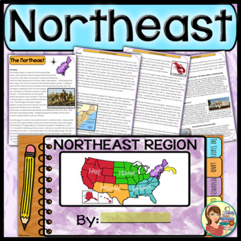
US Regions: Northeast Region (Print and Digital)
This comprehensive resource explores the eleven states in the Northeastern region. A non-fiction informational text packet covers the region’s history, climate, land, economy, natural resources and landmarks. Several other items are included in this resource as well. Please see below for more details.UPDATE: This resource now includes GOOGLE SLIDE versions for the student worksheets, booklet and the PowerPoint presentation.★ ★ ★ BUNDLE ALERT! DO NOT MISS THE SAVINGS! ★ ★ ★SAVE 20% OFF individ
Grades:
4th - 6th
Types:
Also included in: 5 Regions of the United States BUNDLE (Print and Digital)
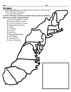
13 Colonies Map Project (8.5x11)
This project has three different differentiated levels for different levels of students, or to have them work up to... This project is set-up to print on 8.5x11 sheets of paper. In the first tier (the easiest), the students are given a map of the thirteen colonies and have to label each colony and then color the Northern/North Eastern Colonies, the Middle Colonies and the Southern Colonies different colors in a map key they create. In the second tier (medium difficulty), the students have to la
Subjects:
Grades:
3rd - 12th
Types:
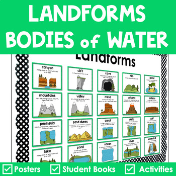
Landforms and Bodies of Water Posters Interactive Books Games and Worksheets
Do your students have a hard time recognizing landforms and bodies of water? Get everything you need to teach landforms and bodies of water in one pack. It includes anchor posters, sorting cards, riddle books, and more to scaffold learning for all students. The little books are in a riddle format, so your students must use critical thinking to solve. ✅ What’s Included:⭐️ Teacher Tips⭐️ 20 Large Landforms & Bodies of Water Posters⭐️ 20 Small Landforms & Bodies of Water Posters⭐️ 60 Lan
Subjects:
Grades:
K - 4th
Types:
Also included in: Landforms Bundle
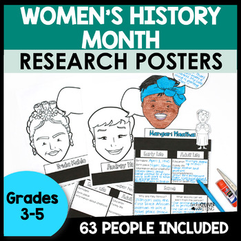
Women's History Month Biography Report Template - History Project
Engage students with a quick and easy Womens History Month research activity! Students will be assigned their own famous woman in history, who they will then do a quick research project about. Students will then fill out the posters and give a snapshot of a biography of their assigned person. With little to no-prep for you, this makes a perfect activity to introduce students to biographies / research, or to get them practicing skills. They look great as a bulletin board or hallway display!Famous
Grades:
3rd - 6th
Also included in: Biography Report Templates | Research Poster Template
Map Skills & Landforms Unit
Do your students need practice with map skills? Do they need engaging activities to help them learn key vocabulary and directions? If so, this unit is perfect for them!What's Included?Map Skills Practice:Zoo - Using a Map Key to Place Objects on a MapIn the Neighborhood - Answering Questions about the MapPlacing Objects using North, South, East, WestTreasure! - Finding objects that are North, South, East, WestClassroom Map - Answering Questions about a Classroom MapOur Classroom - Make your Own
Grades:
PreK - 2nd
Types:
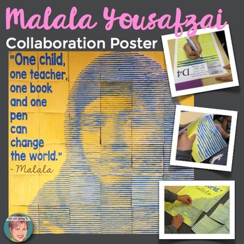
Malala Yousafzai Collaboration Poster | Great Women's History Month Activity
Malala Yousafzai Collaboration Poster: My collaboration posters are designed to complement or supplement any Malala Yousafzai lesson or Women’s History Unit. This poster is the perfect anticipatory set to pique your students’ interest or a great extension to finish your studies with a WOW. Your students will be talking about this poster for weeks to come and will always remember exactly which piece was “theirs” when they see it on display! This is a brand new style of poster that your students
Grades:
2nd - 9th
Types:
Also included in: Women's History Month Activities: Collaboration Poster BUNDLE [Volume 1]
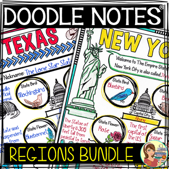
US Regions Doodle Notes Bundle - Social Studies
This regions of the United States bundle contains five complete units for the U.S. regions. A non-fiction informational text packet covers each region’s history, climate, land, economy, natural resources and landmarks. Fun Doodle Notes, vibrant posters and PowerPoints are included too! Please see below for more details. (Click here for an ONLINE 5 Regions resource)This resource includes:★ Introductory PowerPoint Presentations – Introduce each region to your students using colorful yet cleanly d
Grades:
4th - 6th
Types:
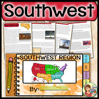
US Regions: Southwest Region (Print and Digital)
This is a comprehensive resource that explores the four states in the Southwestern region. A non-fiction informational text packet covers the region’s history, climate, land, economy, natural resources and landmarks. Several other items are included in this resource as well. Please see below for more details. UPDATE: This resource now includes GOOGLE SLIDE versions for the worksheets, booklet and presentation.★ ★ ★ BUNDLE ALERT! DO NOT MISS THE SAVINGS! ★ ★ ★SAVE 20% OFF individual unit price
Grades:
4th - 6th
Types:
Also included in: 5 Regions of the United States BUNDLE (Print and Digital)
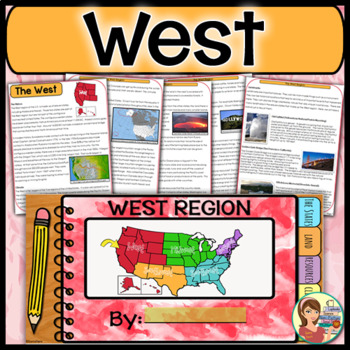
US Regions: West Region (Print and Digital)
This is a comprehensive resource that explores the eleven states in the Western region. A non-fiction informational text packet covers the region’s history, climate, land, economy, natural resources and landmarks. Several other items are included in this resource as well. Please see below for more details. UPDATE: This resource now includes GOOGLE SLIDE versions for the student worksheets, booklet and the PowerPoint presentation.★ ★ ★ BUNDLE ALERT! DO NOT MISS THE SAVINGS! ★ ★ ★SAVE 20% OFF in
Grades:
4th - 6th
Types:
Also included in: 5 Regions of the United States BUNDLE (Print and Digital)
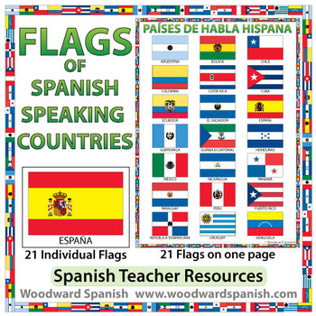
Flags of Spanish-speaking Countries
Flags of the 21 Spanish-speaking countries.
These flags are perfect for decorating the Spanish classroom. You may also want to laminate the flags and use them as large flashcards.
There are 21 individual flags of the following Spanish-speaking countries: Argentina, Bolivia, Chile, Colombia, Costa Rica, Cuba, Ecuador, El Salvador, España, Guatemala, Guinea Ecuatorial, Honduras, México, Nicaragua, Panamá, Paraguay, Perú, Puerto Rico, República Dominicana, Uruguay, Venezuela.
Each flag is on its
Subjects:
Grades:
1st - 12th, Adult Education
Also included in: Spanish Bundle – Spanish-speaking Countries and Capitals
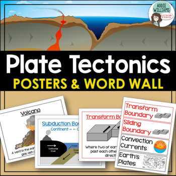
Plate Tectonics Posters - Volcanoes, Plate Boundaries, & Earthquake Faults
Plate Tectonics, Volcanoes, Earthquakes, and More! 24 posters and 30 word-wall strips to use in a plate tectonics unit to help your students learn and review the main concepts.Includes:- Types of volcanoes (Composite/stratovolcano, shield, cinder cone)- Plate Boundaries (Divergent, convergent... posters for each type)- Earthquakes & Faults (Normal, reverse, strike-slip/transform, focus, epicenter)Posters can be printed in black/white or in color! They look great laminated and posted on the w
Subjects:
Grades:
7th - 10th
Types:
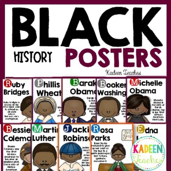
Black History Posters- Set 2
Gearing up to celebrate Black History month? Check out this Black History poster set!It includes posters of 17 influential Black Americans. Each poster includes a clipart and short summary. Display these posters in your classroom, libraries, and hallways and use them to start discussions about the individuals. These posters are not comprehensive, so it is important to continue the conversations in your classrooms. These are just conversation starters to get your students started. It is certainly
Grades:
PreK - 9th
Also included in: Black History Month Resources
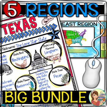
5 Regions of the United States BIG BUNDLE
This regions of the United States big bundle contains all of my resources for five complete units for the U.S. regions. A non-fiction informational text packet covers each region’s history, climate, land, economy, natural resources and landmarks. Fun Doodle Notes, vibrant posters and PowerPoints are included too! You'll find online resources including interactive Boom Cards for each region as well as tabbed notebooks (printable and Google Slide versions).Please see below for more details. This r
Subjects:
Grades:
4th - 6th
Types:
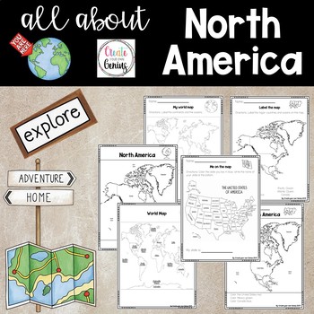
North America on the Map
Includes posters and worksheets for student response- World map poster with major oceans and continents labeled for whole group instruction or posters-My world map: Students label the major oceans and continents-Map of North America labeled with oceans for whole group instruction-Color map location for North America -Label the map of North America with word bank-Me on the Map, United States activity where students color and list their home state-Maps are perfect for posters or whole group instru
Subjects:
Grades:
K - 5th
Types:
Showing 1-24 of 1,964 results


