2,762 results
Women's History Month geography printable images
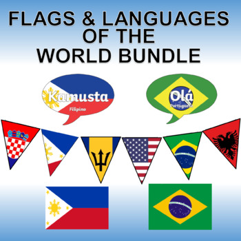
Flags and Languages of the World Bundle - Clipart, Posters and Printable Banner!
Contains five of our best products! Savings of 50%!Languages of the World - Hello in Every Language - Printable PostersThis is a set of 162 color, printable posters that showcase the word "HELLO" in all of the languages of the world. Each has its own unique flag in the background along with the name of the language itself.Flags of the World Banner / Bunting / PennantThis 203 flag collection is an excellent resource for creatively displaying world flags in your classroom.You will receive a zip f
Grades:
Not Grade Specific
Types:
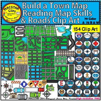
Build a Town Map - Reading Map Skills & Roads Clip Art
Build a Town Map, Reading Map Skills & Roads Clip Art "MACSTAR Clips” 154 Images in totalThis set of clip art will give you the opportunity to create coding (roboticts) games with obstacles . This set includes what you need to build, arrange, and mix and match the clip art. You will receive:79 Color Clip Art: As shown in the preview: 75 Black and White Clip ArtTerms of Use: The clip art may be used in educational commercial products. All images must be secured in a pdf file if you're using
Subjects:
Grades:
Not Grade Specific

Influential Women Throughout History Clip Art Set
Who runs the world? Girls!There are so many things you can do with this realistic & diverse clipart set featuring 65 notable women from throughout history!Images are all in png format, and 300 dpi / on transparent background for optimal scaling and printing.They are also clearly named so that you can view and sort without needing to open each individual file to see what it is.The ladies included in this set are:* Alexandria Ocasio Cortez* Amanda Gorman* Amelia Earhart* Angela Davis - ADDED 7
Grades:
Staff, Not Grade Specific
Also included in: Influential People Clip Art Set - Growing Bundle
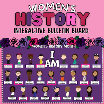
Women's History Month Bulletin Board - SEL - Interactive
This bulletin board kit is the perfect way to celebrate Women's History Month and help enhance social emotional learning through positive self talk. It includes 25 different notable female leaders and a positive character trait associated with them. It also includes interactive foldable name tags that can be flipped to reveal a synopsis for each leader and their trait. While interacting with the bulletin board students practicing positive self talk.Bulletin Board Includes: -"I AM" Bulletin Lette
Grades:
Not Grade Specific
Also included in: History & Heritage Months Bulletin Board Bundle | SEL
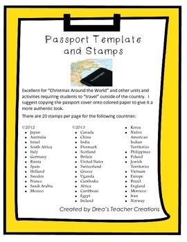
"Around the World" Passport Template and Stamps
This set jam-packed with a template for a passport and destination stamps for 40 countries. More stamps here.
The passport template includes the outer cover and inside cover with your choice of 2 reflections prompts to be completed at the end of your "travels".
There are 20 stamps per page for the following countries in full color:
• Japan
• Australia
• Israel
• South Africa
• Italy
• Germany
• Russia
• Spain
• Holland
• Sweden
• France
• Saudi Arabia
• Mexico.
• Canada
• China
• India
• Denm
Grades:
1st - 12th
CCSS:
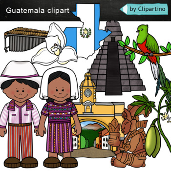
Guatemala clip art Commercial use
Guatemala clipart 10 color PNG&JPG+10 black white (outline) PNG&JPGSize one image about 8 inch by 4 inchFor personal and commercial use.You'll like it!All countries of the worldDownload the archive with the license and logo by the linkhttps://www.teacherspayteachers.com/Product/License-Credit-logo-by-Clipartino-3785741Keywords: spanish colonies, spanish colonization, clipart, sale, bundle, bw, coloring, outline, countries, symbols, map, geography, around the world, landmark, animals, nat
Subjects:
Grades:
Not Grade Specific
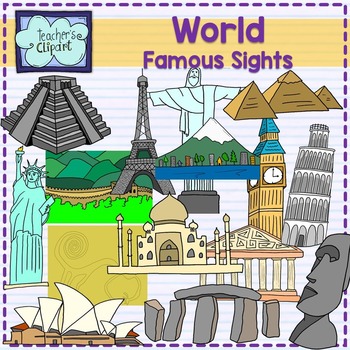
World Famous sights - landmarks clipart Social studies clip art
Introducing our remarkable "Famous Landmarks Around the World" clip art set! This collection showcases an array of iconic landmarks, offering both line art and colored images that are perfect for a variety of creative projects. From historical sites to architectural marvels, these graphics are sure to add a touch of global charm to your designs.Included in this set are the following landmarks:Big BenTaj MahalGreat Wall of ChinaChrist the Redeemer (statue)Eiffel TowerMount FujiNazca LinesPartheno
Grades:
PreK - 12th, Staff
Also included in: World Social Studies clip art {Bundle} over 500 graphics
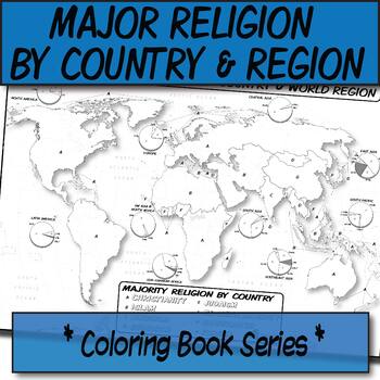
Major Religion by Country & Region Map/Charts **Coloring Book Series**
**Geography Coloring Book Series**Guide your lecture notes with these printable coloring book pages of the majority of practiced world religions by country and region. These are great for printing multiples and cutting for student interactive notebooks as minis. These are particularly great for AP Human Geography, any geography course, religion, cultural studies, or anthropology course.The format is .PNG to allow for you to paste and stretch in Word. I've found that .3'' margins (all sides) is t
Grades:
Not Grade Specific
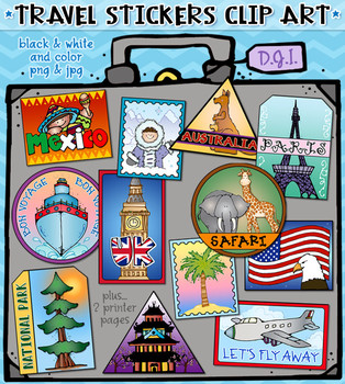
Travel Stickers - 12 Locations Around the World Clip Art by DJ Inkers
Use these fun Travel Stickers to connect and share smiles around the world! Perfect for anyone with a travel bug, this set includes 12 different location designs! These fabulous digital stickers can help you create projects for a fun travel theme, trip planning, luggage tags, country reports, scrapbooks, travel journals and more. Stickers include: Asia, Australia, Mexico, Paris, UK, USA, beach, snow, airplane, bon voyage, safari and national park. Each included individually (24 total) and on
Subjects:
Grades:
K - 4th, Staff
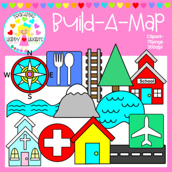
Map Clipart
I've created these Build-A-Map images with a large variety of bright map symbol images:39 color & 36 bwThe following images are included:*airport*bank*barn*bridge*building*bus stop*camping*capitol city*church*compass rose*curved road*fence*fire station*gas*hill*hospital*4 houses*lake*library*mountain*park*parking lot*path*place to eat*police *post office*railroad*restrooms*river*road (straight)*school*stop sign*store*traffic light*tree*turn roadMy Build-A-Map images are perfect for creating
Subjects:
Grades:
PreK - 7th
Types:
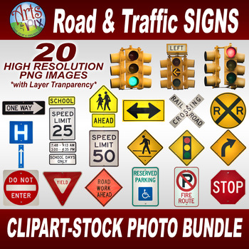
CLIPART STOCK PHOTOS - Road & Traffic SIGNS - Photographs - PNG - BUNDLE
SAVE BIG by buying a BUNDLE! Arts & Pix offers you this FUN and Informative, "Road & Traffic SIGNS" CLIPART Stock Photo BUNDLE. This high resolution stock photography BUNDLE features 20 CLOSE-UP png images of the many ROAD & TRAFFIC SIGNS we see everyday while driving. These LARGE PNGs are perfect for use as Clipart layered images. You'll be able to overlay, size, rotate and move these photo layers to your liking. Includes 20 individual (BUNDLED in a Zip file) 300dpi - 2400 x 2400 pi
Grades:
Not Grade Specific
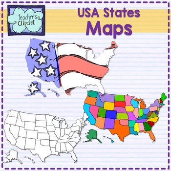
USA United States MAP clip art -Social Studies 107 graphics
The USA States MAP clip art 107 graphics set includes colored and line art images for every state and 6 complete USA maps.PLEASE NOTE: This is not an exact map of the country, is a graphic representation only. _____________________________________________________These graphics have 300 dpi resolution.All my clipart sets are for PERSONAL OR COMMERCIAL USE. Please read my terms of use before purchasing.Enjoy and remember to leave feedback!______________________________________________________PLEAS
Grades:
Not Grade Specific
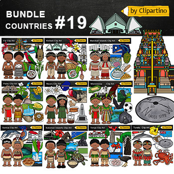
Oceania/ Polynesia/ Micronesia/ Pacific Island Countries Clip Art Bundle - 19
Oceania Polynesia Micronesia Island Countries Clipart Bundle - PART 19Tonga * Fiji * Kiribati * Marshall islands * Micronesia * Nauru * Palau * Samoa * Solomon islands * TuvaluYou'll like it!All countries of the worldSize one image about 8 inch by 4 inchFor personal and commercial use. Download the archive with the license and logo by the linkhttps://www.teacherspayteachers.com/Product/License-Credit-logo-by-Clipartino-3785741 .MY E-MAIL clipartino@gmail.comKeywords: clipart, sale, bundle, bw, c
Grades:
Not Grade Specific
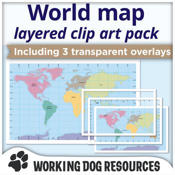
Maps of the world clip art - complete and layered
Countries of the world map clip art, including latitude and longitude grid.A range of atlas quality world map clip art, designed to fit within both US letter and A4 international page sizes. This versatile world map pack contains the complete map in both color and black outline. Clip art maps are supplied as complete maps and are also split into feature layers for use in overlaying. Map contents include:World complete color map: labeledWorld complete outline map: labeledWorld complete color map
Grades:
5th - 8th
Also included in: World maps: Biomes and Continents
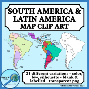
South America and Latin America Clip Art Maps
This set of 21 different clip art maps of South America and Latin America is a great addition to your geography or social studies resources. You will receive both labelled and unlabelled maps in different color variations and as b/w line art. All maps are saved as individual png. files with transparent backgrounds. The maps have been designed to fit comfortably on a 8.5" x 11" US letter size sheet of paper and are max. 8" x 9.75" at their original size (300 dpi)List of maps:- 3 labelled maps of
Grades:
Not Grade Specific
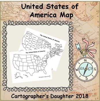
The United States of America Map
Blank and labeled map of The United States
Subjects:
Grades:
Not Grade Specific
Types:
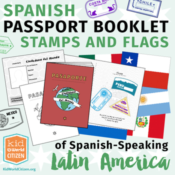
Spanish Passport Booklet, Stamps & Flags of Latin America ~ Growing Bundle
Take your students to Latin America with this incredible Spanish language passport booklet and stamp collection of Spanish-speaking Latin American countries! A fantastic product for regional units focusing on absolutely ANY theme, including country studies, a Latin American Geography Fair, Latin American reading units, regional holiday celebrations, explorations in typical recipes, animal units, and more. Save now by getting in early on this GROWING BUNDLE as we will be adding country stamps in
Subjects:
Grades:
Not Grade Specific
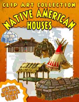
Native American Houses Clip Art
A Clip Art Collection of Native American Houses, containing 25 historically and culturally accurate images of traditional Native American dwellings from across the country. From the wigwams of the Eastern Woodlands to the plank houses of the Pacific Northwest, they’re all in here! Also included is a handy Reference Guide to the different styles.
Every Clip Art Collection contains large, high resolution PNG images in both color and black & white. Every image is crisp, clean and beautiful w
Subjects:
Grades:
Not Grade Specific
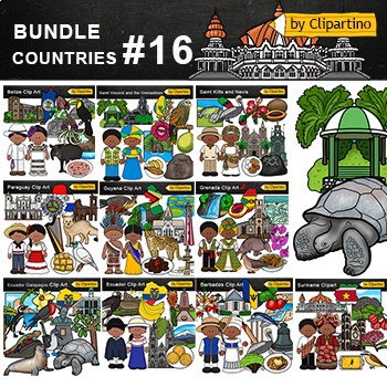
Latin America Countries Clip Art Bundle Commercial use- PART 16
Latin America Countries Clip Art Bundle - PART 16;Barbados * Belize * Ecuador* Galapagos* Grenada * Guyana* Paraguay* Saint Kitts and Nevis * Saint Vincent and the Grenadines * Suriname.Size one image about 8 inch by 4 inchFor personal and commercial use. Download the archive with the license and logo by the linkhttps://www.teacherspayteachers.com/Product/License-Credit-logo-by-Clipartino-3785741 .You'll like it!All countries of the worldFor all inquiries my mail clipartino@gmail.comKeywor
Grades:
Not Grade Specific

Christmas Around The World - 20 Countries - Quiz - Christmas Poems
Christmas Around The World - Christmas Quiz - Christmas Poems - Christmas traditions ( United States, Canada, Alaska, Brazil, Argentina, Venezuela, China, Russia, Japan, Italy, Spain, France, Greece, Bulgaria, Finland, Germany, United Kingdom, Ukraine, Australia, Christmas in Africa)
This is a set of 90 different pages- PDF
- Christmas Quiz
- Symbols of Christmas
- Christmas Poems
- Frames
- Writing paper
- Clip Art
- Maps
- Christmas traditions
United States
Canada
Alaska
Brazil
Argentina
Vene
Grades:
PreK - 5th
Types:
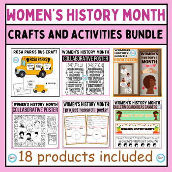
Women's History Month Crafts&Activities BUNDLE,coloring pages,Bulletin Boards
This women's history month Crafts and activities BUNDLE includes engaging resources such as womens history month coloring pages, bulletin boards, writing prompts, rosa parks bus craft, famous figures coloring pages, project research poster... and so many This bundle is perfect for classrooms, libraries, homes, and anywhere you want to celebrate the achievements of amazing women.Here's what you'll get:Eye-catching Bulletin Boards: Decorate your space with beautiful and informative bulletin board
Grades:
Not Grade Specific
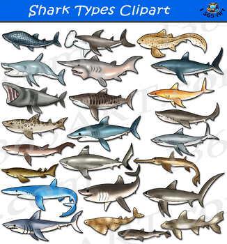
Shark Clipart - Types of Shark
Set includes various types of shark in both color and black and white versions of each graphic! This set contain 48 images of different sharks from around the world! Included in this set are basking shark, blacktip reef shark, blue shark, bluntnose sixgill shark, bramble shark, bull shark, copper shark, galapagos shark, goblin shark, great white shark, hammerhead shark, horn shark, japanese sawshark, leopard shark, pacific angel shark, porbeagle shark, pygmy shark, salmon shark, sharpnose seveng
Subjects:
Grades:
PreK - 12th
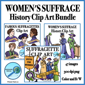
Women's History Month Suffragettes Clip Art Bundle
Use this clip art bundle to give your Women's History Month, Women's Rights Movement, Women's Suffrage or The Progressive Era resources a fun and engaging but still historically authentic look. The bundle includes 47 clip art images ( 24 color and 23 B/W line art ) of turn of the century suffragettes and women exercising their right to vote as well as "Votes for Women" ribbons and banners (both blank and with text). Please see product thumbnails and preview to see all images included. All images
Grades:
6th - 9th
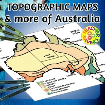
Australia Maps Clip Art Set Commercial Use
Are you looking for some awesome maps of Australia? In this offering, I have included the following types: climate, yearly precipitation, Australia in 1836, 1829 & by 1911, physical features, physiographic, explorer routes, exploration, mining and manufacturing, agriculture and fishing and gold rushes. All maps have 3-4 different versions including full-color, black and white, with full and part labelling for various worksheet design incorporating student completion for practice or assessme
Subjects:
Grades:
PreK - 10th
Showing 1-24 of 2,762 results


