24,398 results
7th grade geography pdfs under $5
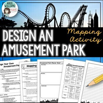
Map Skills Mapping - Design Your Own Amusement Park
Review the basics of mapping with this fun and engaging activity! Using map skills learned in class, students must design a map of their own amusement park and include mapping elements such as scale, a legend, symbols, and more! They must also write about and explain their "best" or most amazing ride. This activity has always been one of my students' favorite projects! It's a fun and unique way to wrap up a mapping unit or a fun project for social studies!I encourage the students to pick a them
Subjects:
Grades:
6th - 9th
Types:
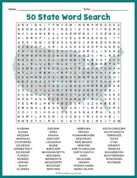
USA GEOGRAPHY Worksheet Activity - All 50 (Fifty) US States Word Search Puzzle
Review United States geography and have your students search for all 50 members of the Union with this challenging worksheet activity. Word search puzzles make great no prep activities for early finishers, bell ringers, morning work, handouts, homework, lesson plan supplements, sponge activities, introductions to new topics, and sub files.We consider this to be a challenging puzzle and it will require quite a bit of time to complete. Students will memorize the names of all fifty states withou
Subjects:
Grades:
4th - 7th
Types:
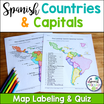
Spanish-Speaking Countries and Capitals Maps and Quiz
This is a map labeling activity and matching quiz over the 21 Spanish-speaking countries and capitals. Students will label and identify the 21 Spanish-speaking countries and capitals in Spanish. This is a great activity when reviewing Spanish-speaking countries and capitals or Spanish geography. Makes a great coloring page. Answer keys are included.
Countries included:
España, México, Costa Rica, El Salvador, Guatemala, Honduras, Nicaragua, Panamá, Cuba, La República Dominicana, Puerto Rico, Ar
Subjects:
Grades:
6th - 12th
Also included in: Spanish Countries and Capitals Geography Bundle
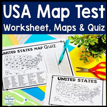
United States Map Quiz & Worksheet, USA Map Test w/ Practice Sheet, US Map Quiz
United States Map Test: Easy-to-read US Map Quiz and Practice Sheet will help students learn to correctly identify and locate all 50 states. This product also includes a labeled USA Map in full & half-page design and blank USA map for practice. Learning how to correctly identify all 50 states on a map of the United States is a critical skill for students of all ages.US Map Quiz (US Map Test) is ready to print-and-go to test knowledge of the USA Map and 50 states. This map of the United State
Grades:
2nd - 8th
Types:
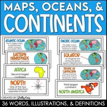
Continents and Oceans Maps and Posters | Geography and Maps Word Wall
Continents and Oceans and Map Skills can be fun to teach, especially when you have this great set of word wall cards. Each card includes the word, definition, and a clear, colorful illustration. Make a great bulletin board in just minutes!Click HERE to save 20% with the Continents, Oceans, and Map Skills BUNDLE!Please click on the PREVIEW above to get a clear picture of everything included.PERFECT for visually reinforcing landform vocabulary!This helpful continents, oceans, and maps word wall se
Grades:
2nd - 8th
Also included in: Maps, Continents and Oceans, Landforms, and Map Skills Bundle
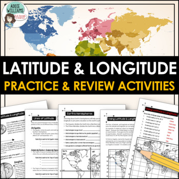
Latitude and Longitude Worksheet Activities for Practice and Review
Do your students struggle with latitude and longitude? Use this resource to help your students learn the fundamentals of latitude and longitude and apply their knowledge to simple maps.This resource includes reference/note sheets on latitude and longitude, the important lines of latitude (Equator, Tropics, Arctic / Antarctic Circle), and longitude (Prime Meridian, Date Line), and how to find a location on Earth using coordinates. This package also includes five worksheets for students to apply
Subjects:
Grades:
6th - 8th
Types:
Also included in: Latitude and Longitude Bundle - Activities, Task Cards, & Posters
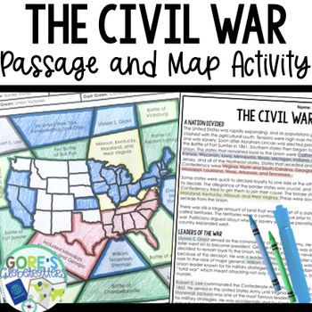
Civil War | Reading Passage and Map Coloring Activity for Social Studies
Looking for an engaging Social Studies activity that will also help your students practice finding text evidence? This passage and map resource is perfect to have on hand for your Social Studies classroom. Get this resource and more in my money-saving Social Studies Color by Number BundleWhat teachers are saying about this resource:❤️"I love how it reviewed the topics we had already been learning about in class. The kids loved working with a partner and the coloring. I want more of this!"❤️"My
Grades:
4th - 7th
Types:
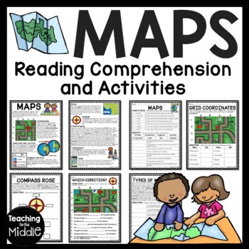
Map Skills Reading Comprehension Worksheets and Activities
Need to briefly explain or review map skills with your students? This product provides several activities to accomplish this. The PDF file includes: map overview reading passage with 15 comprehension questions (types of maps identification and term identification), grid coordinates practice, compass rose review, Which Direction?, and Types of Maps (8 questions). I use this at the beginning of the school year to review map skills with my students. I've provided a color and black and white vers
Grades:
4th - 7th
Types:
Also included in: Social Studies MEGA Reading Comprehension Bundle For Buyer
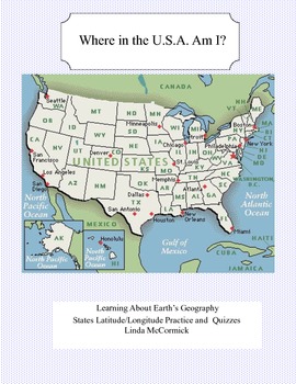
Latitude and Longitude Worksheets and Quizzes - U.S.A. Geography
This collection of worksheets and a printable map provide excellent lessons for learning latitude and longitude. • This package contains 9 pages. • A printable map with the necessary information to answer the questions regarding latitude and longitude.• Includes practice and two quizzes in the “Where Am I” format•Answer KeyThis lesson is google classroom ready.Please e-mail me with any questions about this resource or suggestions for future resources at: ljmccormick33@yahoo.com. If you are diss
Subjects:
Grades:
5th - 9th
Types:
Also included in: U.S.A. Geography- Bundle
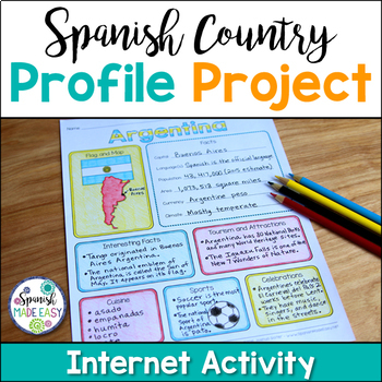
Spanish Country Profile Project
This is a country profile project over the 21 Spanish-speaking countries. Students will research important geographical and cultural facts about each country. This activity includes a blank country profile template, a template for each country, a list of Spanish-speaking countries, and a grading rubric in both English and Spanish. Research topics include: Countries flag, map, capital, language(s), population, area, currency, climate, interesting facts, tourism and attractions, cuisine, sports, a
Subjects:
Grades:
2nd - 12th
Types:
Also included in: Spanish Countries and Capitals Geography Bundle
USA LANDMARKS Research Projects | United States Geography Report Activity
This bundle of (15) two-sided tri-fold research brochure templates allows students to dig deeper into facts about famous landmarks in the United States. You'll also find a BLANK template to use with ANY landmark that is not included with this resource. Makes a great addition to your American history and geography unit studies throughout the year. Keep these in your early finisher folder or your sub-folder for no-prep fun.CLICK HERE to save 30% on this resource in the American Landmarks activity
Subjects:
Grades:
3rd - 7th
Where in the World Scavenger Hunt & Map Activity Set Physical Geography Europe
This geography activity is completely student-driven, fun, and interactive. It can be done with any textbook map or atlas with European physical geography. First, students create a physical map of Europe, labeling key features. Then, students play the Where in the World Scavenger Hunt printable clue game. Students guess the features by reading four description clues for differing geographical features of Europe. It comes with a key!What's Included:⭐ Physical map activity⭐ Scavenger Hunt Activity
Grades:
4th - 8th
Types:
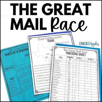
Friendly Letter Writing Paper & Template - Great Mail Race How to Write a Letter
The Great Mail Race is an excellent way for students to learn letter writing, geography, research skills, data collection, and graphing skills, and much more! Students send letters and questionnaires to schools in all 50 states. You can use the responses any way you want - mark the schools on a map, graph data from their surveys, etc. This packet has everything you need but the stamps and envelopes! Includes:Teacher instructions for the projectEditable introductory letter Class questionnaireStud
Subjects:
Grades:
2nd - 8th
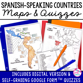
Spanish Speaking Countries and Capitals Maps and Quizzes Worksheet + DIGITAL
Spanish-Speaking Countries Maps and Quizzes - Included are blank maps of the Spanish-speaking countries for students to fill in, completed maps, a map quiz, and a matching capitals quiz. NEW: Now includes Google Slides™ version of the map for students to fill in digitally and self-checking Google Forms™ quizzes for the map and capitals quizzes.*Please see the thumbnails & preview for more details*Includes:✅ Blank Maps-One page map without Equatorial Guinea-Two page map with Equatorial Guinea
Subjects:
Grades:
6th - 12th
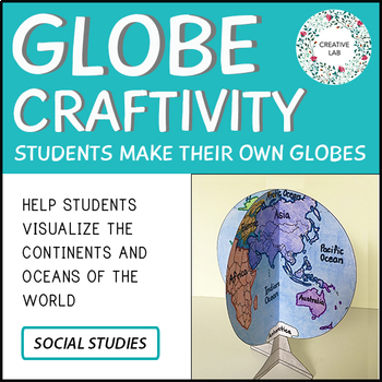
Mapping Craft Activity - 3D Globe World Map
If you would like to purchase the 100% EDITABLE version of this product, click here! Great for differentiation!Make Social Studies hands-on and engaging with this globe craftivity!A 3D model of the globe can help students visualize the distribution of land and water on Earth. Students also learn about the correct shape, size and location of the continents and oceans. For this activity, students are guided through the process of constructing a model of planet Earth. Have fun!This Project Package
Subjects:
Grades:
3rd - 7th
Types:
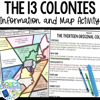
13 Colonies | Differentiated Passage and Coloring Activity for Social Studies
This differentiated resource is perfect to have on hand for your Social Studies classroom as students practice finding text evidence with information about the 13 Colonies. Get this resource and more in my Social Studies BundleTwo versions are included to differentiate for your students:Version 1 Identify the year colonies were founded/founders. They do not have to know the location of the coloniesVersion 2 The map portion is blank- they will need to know the location of the colonies as well as
Grades:
4th - 8th
Types:
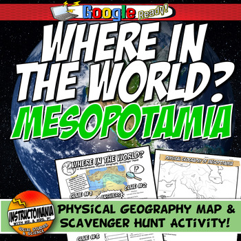
Ancient Mesopotamia Map Activity & Scavenger Hunt: Where in the World Geography
Explore the captivating geography of Ancient Mesopotamia through this engaging and student-driven activity that combines fun with interactive learning. Your students will embark on a journey of discovery as they uncover the essential geographical elements of this ancient civilization. Here's how the adventure unfolds:Map Creation: Students take the reins as they craft their own physical map of Mesopotamia, meticulously labeling its key features. This hands-on activity encourages a deeper unders
Grades:
4th - 8th
Types:
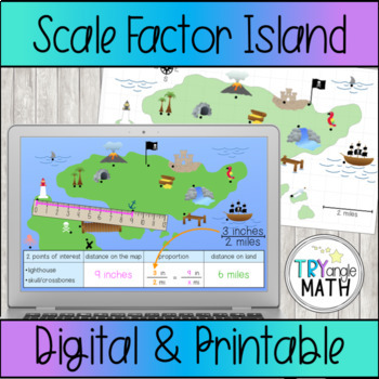
Proportions and Scale Factor Treasure Map Digital Activity
Practice using proportions to find the distance represented on a map with this fun treasure map! Measure or count the distance between 2 points of interest on the map. Be careful, some points are halfway between two numbers! Then, write a proportion and solve to find the distance on "real land."Includes 6 versions:The Google Slides digital version has a ruler to measure in inches. The rulers are already at the correct angle so students just need to click and drag to measure. Includes 15 ques
Subjects:
Grades:
6th - 8th
Types:
Also included in: Proportions Digital Activity Bundle
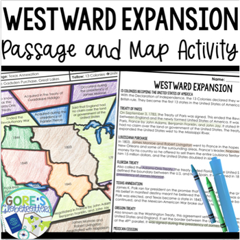
Westward Expansion | Passage and Map Coloring Activity for Social Studies
This passage and map activity is an engaging way to cover facts about Westward Expansion and the growth of the United States.Get this resource and more in my money-saving Social Studies BundleWhat teachers are saying about this resource:❤️"Love, love love these activities. Easy to use - low prep. Engaging for students."❤️"Something like this is so rare to find in Social Studies! Thank you!!"This activity includes facts about the following:• Treaty of Paris• Florida Treaty• Texas Annexation• Gads
Grades:
4th - 7th
Types:
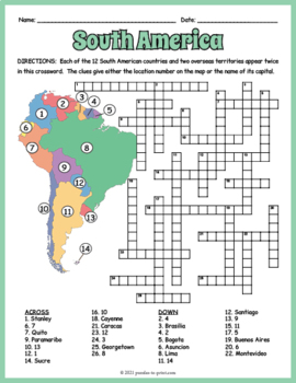
SOUTH AMERICA GEOGRAPHY Crossword Puzzle & Map Worksheet Activity
Help students review and learn the names, locations and capitals of the 12 South American countries and two overseas territories with this crossword worksheet. Each location's name appears twice in the puzzle. The clues give either the location's number as noted on the included map or the name of its capital. Crossword puzzles make great no prep activities for early finishers, bell ringers, morning work, handouts, homework, lesson plan supplements, sponge activities, introductions to new topi
Subjects:
Grades:
4th - 7th
Types:
Spanish Speaking Countries Infographic (Los paises hispanohablantes)
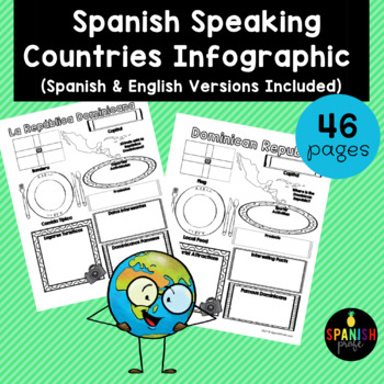
Spanish Speaking Countries Infographic (Inforgrafica de los paises hispanohablantes) This products would be great for Spanish class, Latin American History or Spanish Heritage class, or a Spanish or Dual Immersion class. You could use an infographic about each country all throughout the school year or have students do a research project and have 1-2 students do each country and present to the class. This could also be an independent research center for grades 2-6 in the Spanish Immersion setting
Subjects:
Grades:
2nd - 12th
Types:
Latitude and Longitude Worksheet & Answer Key
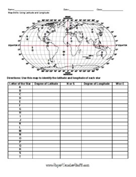
This worksheet is an awesome way to teach Latitude and Longitude. The way that it is structured reinforces that Latitude measures North and South of the Equator, and that Longitude measures East and West of the Prime Meridian. This worksheet features a World Map with an Answer Key.
Subjects:
Grades:
3rd - 12th, Higher Education, Adult Education
Types:
Ancient Rome Map Activity- Roman Empire (Label and Color!)
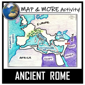
This Ancient Rome Map Coloring & Labeling Activity is a great resource to enhance your unit! Each student will make their own, personalized map of the Roman Empire, and learn about the geography and landmarks of the region. They will label and color their blank map, and answer follow-up questions related to the geography of Ancient Rome. A fun 'Make a Travel Brochure' project has also been added. It is a great way to connect this map activity to your lesson on Ancient Rome! A link to Goo
Grades:
4th - 11th
Types:
CCSS:
Also included in: Ancient Civilizations / World Maps BUNDLE- Color & Label Activities!
Flags of the World Coloring Pages | 270 World Flags to Make
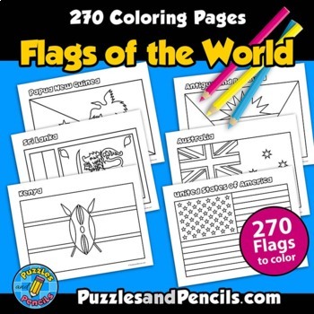
Flags of the World Coloring Pages. No prep, printable pages. 270 world flags to color, cut out and decorate your classroom, home or bulletin board.Includes:- Coloring pages of 270 flags of the world. Black and white pages for printing. - Index of flags includedFlag document is sized for US letter paper (8.5 x 11) and can also be printed in other sizes using your printer settings.Reinforce learning and have fun making classroom decorations. Great for extending research projects and studies.__
Grades:
1st - 8th
Types:
Showing 1-24 of 24,398 results


