31 results
Free 6th grade geography activboard activities
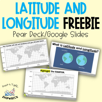
FREEBIE Latitude and Longitude Map Geography Skills Google Slides Pear Deck
Looking to teach your students the basics of latitude and longitude? Look no further than these interactive Pear Deck slides! This engaging lesson will teach students how to identify lines of latitude and longitude, as well as the Equator and Prime Meridian. With activities that challenge students to determine the definitions of Longitude and Latitude, and opportunities to create and call out a list of locations on a world map using Google Earth or an atlas (not included), this lesson is designe
Grades:
5th - 9th
Types:
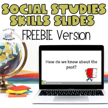
Middle School Geography, Timeline, Map Skills Google Slides Pear Deck FREEBIE
Looking to teach your students the fundamentals of historical and archaeological thinking? Look no further! Our comprehensive lesson plan covers key Geography Skills and Timeline Skills while introducing students to a variety of sources through interactive Pear Deck slides. With mixed-level questions to guide instruction, this lesson is designed to challenge and engage students at every level. Plus, students will have the opportunity to practice important ELA skills such as identifying domain-sp
Grades:
6th - 8th
Types:

South Africa-My Country
South Africa-My Country is a short, simple and colourful introduction to a study of South Africa. It focuses on the beauty and diversity of South Africa. It would serve as a good starting point fort a study of South Africa. It is 16 pages long and it could be printed out in booklet form or ot could be displayed on an active board.
Subjects:
Grades:
4th - 6th

Washington D.C. Digital Field Trip
Take your students on a digital field trip via powerpoint! Includes videos and live webcam links to some of the most popular spots in D.C.
Subjects:
Grades:
1st - 8th
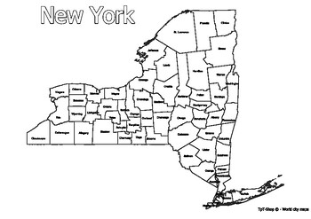
New York State Map with Counties Coloring and Learning
Click Here>>> for more interactive resourcesNew York State Map with Counties Coloring and LearningWelcome to our interactive educational resource - a detailed map of the state of New York with its counties! This vibrant and informative map is specifically designed to support learning and exploration of New York state geography in an engaging way.How You Can Use This Resource:Educational Activities: Introduce New York state geography in an engaging way in your geography or history lesso
Grades:
PreK - 12th, Higher Education, Adult Education
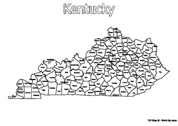
Kentucky State Map with Counties Coloring and Learning
Click Here>>> for more interactive resourcesKentucky State Map with Counties Coloring and LearningWelcome to our interactive educational resource - a detailed map of the state of Kentucky with its counties! This vibrant and informative map is specifically designed to support learning and exploration of Kentucky state geography in an engaging way.How You Can Use This Resource:Educational Activities: Introduce Kentucky state geography in an engaging way in your geography or history lesson
Grades:
PreK - 12th, Higher Education, Adult Education
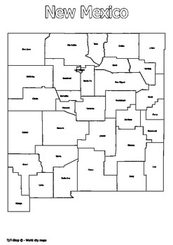
New Mexico State Map with Counties Coloring and Learning
Click Here>>> for more interactive resourcesNew Mexico State Map with Counties Coloring and LearningWelcome to our interactive educational resource - a detailed map of the state of New Mexico with its counties! This vibrant and informative map is specifically designed to support learning and exploration of New Mexico state geography in an engaging way.How You Can Use This Resource:Educational Activities: Introduce New Mexico state geography in an engaging way in your geography or histor
Grades:
PreK - 12th, Higher Education
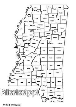
Mississippi State Map with Counties Coloring and Learning
Click Here>>> for more interactive resourcesMississippi State Map with Counties Coloring and LearningWelcome to our interactive educational resource - a detailed map of the state of Mississippi with its counties! This vibrant and informative map is specifically designed to support learning and exploration of Mississippi state geography in an engaging way.How You Can Use This Resource:Educational Activities: Introduce Mississippi state geography in an engaging way in your geography or hi
Grades:
PreK - 12th, Higher Education, Adult Education
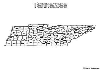
Tennessee State Map with Counties Coloring and Learning
Click Here>>> for more interactive resourcesTennessee State Map with Counties Coloring and LearningWelcome to our interactive educational resource - a detailed map of the state of Tennessee with its counties! This vibrant and informative map is specifically designed to support learning and exploration of Tennessee state geography in an engaging way.How You Can Use This Resource:Educational Activities: Introduce Tennessee state geography in an engaging way in your geography or history le
Grades:
PreK - 12th, Higher Education
VS2 Geography of Virginia
This colorful, engaging, and interactive lesson will have your students excited to learn about Virginia's Geography. The lesson helps to set the tone for the exciting year about to come!Topics included: Locating Virginia and its bordering states on maps of the United States; Locating and describing Virginia’s Coastal Plain (Tidewater), Piedmont, Blue Ridge Mountains, Valley and Ridge, and Appalachian Plateau; Locating and identifying water features important to the early history of Virginia (Atl
Subjects:
Grades:
3rd - 6th

Ancient Egypt Pathfinder
This pathfinder has a compilation of the best online resources available on Ancient Egypt.
Ancient Egypt Pathfinder by Johana Zegarra is licensed under a Creative Commons Attribution-NonCommercial-ShareAlike 4.0 International License.
Subjects:
Grades:
3rd - 7th
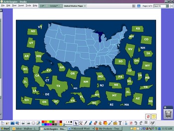
USA Postcard Exchange Flipchart
This flipchart was set up to use with the postcard exchange I signed up with. There is a US map with names and a US map puzzle. There is a link to the google maps that has all of our addresses around the US. Lastly, there is a postcard blank to model write what you are going to put on each postcard that you send out.
Subjects:
Grades:
PreK - 8th
Types:
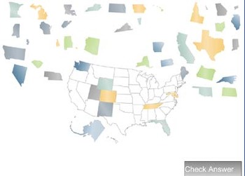
United States Drag-n-Drop (Smart Board)
This is an exe file (Windows only) that will work on any interactive white board (or any computer with a mouse). Users drag the states to their locations on the outlined map. This is a pretty easy interactive as the map contains the state outlines to begin with.
Users can "check" their accuracy and then return to the playing screen to resume play. (Watch for color recognition use rather than shape recognition though - the colors are abstractions, the shapes are accurate.)
Time students to create
Subjects:
Grades:
3rd - 8th
Middle East Geography Lesson
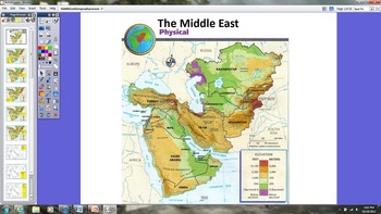
This is a Promethean Board ActivInspire geography lesson on the Middle East. The lesson encourages students to volunteer to be out of their seats and at the board. The yellow boxes indicate the action required at the board. This lesson also includes the Learner Response System (LRS). The LRS slides can be utilized with or without the actual devices.
Grades:
5th - 6th
Place That State - West America - Move on Map - Information about State ☺
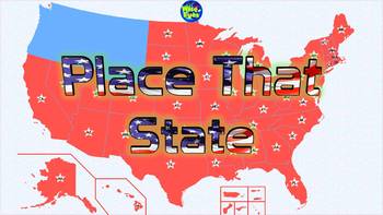
Move the west states of the U.S.A. to its place + Facts about each state. All west states with these facts *Abbreviation *Capital *Date Formed + State Number *Nickname *Area Pick one of the states from the West - Ask the students the facts about the state and get them to position the state on the map of America.Plus:-Place all states from the region - Choose whether to use a map with the state lines on it or notTested and working on PowerPoint 2013 & 2016 (Windows)*Tested on Powerpoint 2007
Subjects:
Grades:
1st - 8th

Around The World Word Search Puzzles (Free Trial)
Here is the free trial. You can try to play. If you enjoy with the brain game, you can also find the full version Here.Around the World in 36 Days Word Search and Word Fill - In Puzzles: All Countries and Capital cities around the world with Travel Planner Free, Themed Travel Word Search Puzzles)Are you ready to journey around the world? Welcome to the new adventure with this amazing Around The World in 36 Days, Word Search Puzzle Book!Containing word find puzzles covering 195 different countrie
Subjects:
Grades:
1st - 12th, Adult Education
London sights
It's animated interactive game. Travelling in London you'll help Scooby and Shaggy escape from the Tower of London by answering the questions. WRITE COMMENTS PLEASE.
Subjects:
Grades:
1st - 8th
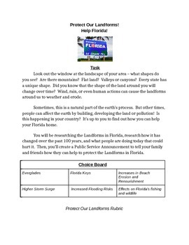
Protecting Florida!
Protect Our Landforms!
Help Florida!
Task
Look out the window at the landscape of your area – what shapes do you see? Are there mountains? Flat land? Valleys or canyons? Every state has a unique shape. Did you know that the shape of the land around you will change over time? Wind, rain, or even human actions can cause the landforms around us to weather and erode.
Sometimes, this is a natural part of the earth’s process. But other times, people can affect the earth by building, deve
Subjects:
Grades:
5th - 10th
Inquiry Based Prompts
These inquiry based prompts (6) can be cut, laminated, and stuck onto the board or wall to prompt classroom discussion.
Student have also in the past used post-it notes under these labels.
Ideal for geography and history.
Subjects:
Grades:
6th - 8th

European Geography
This game is based on the Georgia Performance Standard SS6G8. It is designed so students can learn about the various parts European geography of by using a Smartboard. Students are presented a map and a key feature and then click on the geographic features. Students can interact with the board and compete in groups. This is a great opener, summary, or CRCT review and keeps students wanting more.
Subjects:
Grades:
6th
Types:

The Rugby World Cup - Fun Facts and Information
Lots of colourful slides with a variety of multimedia links to videos, vines and external sites outlining the history and rules of rugby. Extra information provided about England, the host nation and of New Zealand - The All Blacks!
Subjects:
Grades:
2nd - 10th

Protecting the Kivalina Village in Alaska
Protect Our Landforms!
Stop Global Warming NOW!
Task
Look out the window at the landscape of your area – what shapes do you see? Are there mountains? Flat land? Valleys or canyons? Every state has a unique shape. Did you know that the shape of the land around you will change over time? Wind, rain, or even human actions can cause the landforms around us to weather and erode.
Sometimes, this is a natural part of the earth’s process. But other times, people can affect the earth by b
Subjects:
Grades:
5th - 12th
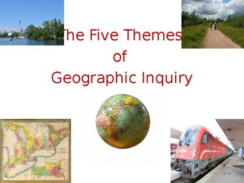
Middle School Geography: Introducing the 5 Themes of Geographic Inquiry
A concise introduction to these themesSuitable for Middle School learnersAligned with Ontario curriculumAvailable in PDF and PPTX
Subjects:
Grades:
6th - 8th
Showing 1-24 of 31 results


