31 results
3rd grade canadian history flash cards
Elementary School First People's Education Lesson
This lesson is complete with slide deck, hands-on activities, bingo, videos, visuals and so much more! Get your class engaged in the important learning about the Indigenous people of North America!
Grades:
1st - 7th
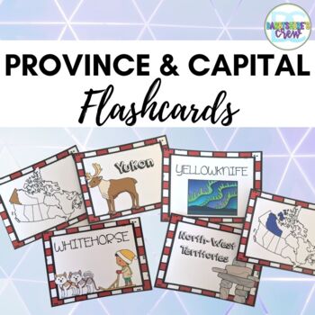
Provinces and Capitals of Canada Flashcards
Looking for a new way to help your students learn the provinces and capitals of Canada? These flashcards make it a breeze. Students can use them to play memory games or simple games like "Go Canada" (Go Fish), "Red" (Pig), "Old Ottawa" (Old Maid). Each flashcard matching set has a Province Name, a visual of the Province and the Capital Names. There are graphics included to help students learn a bit more about each province as well. These cards can also be used for assessment. Instead of the trad
Subjects:
Grades:
2nd - 5th
Types:
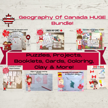
Canadian Geography & Fact Learning Pack
Make learning about the geography and facts about Canada fun for your kids and classes!Included is its HUGE bundle of Canada geography & fact resources, you'll find everything you need to get kids familiar with the provinces, territories, capitals, and simple facts about Canada!With games, puzzles, fact cards, clay mats, worksheets, booklets, flag pages, and more, you'll have a whole HUGE set of resources to dig into for geography!Preview each of the products in the listings below or see the
Subjects:
Grades:
1st - 3rd
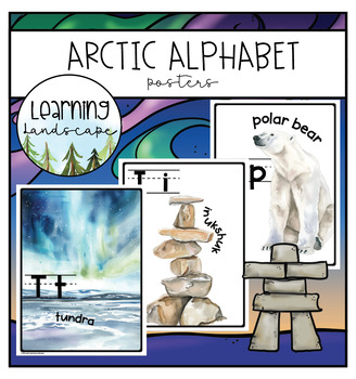
Arctic Alphabet Posters
Decorate your classroom with these nature-inspired alphabet posters featuring the plants, animals, and natural phenomena of the Arctic: Alaska, and Northern Canada (Yukon, Northwest Territories, and Nunavut). The perfect accompaniment to a place-based unit on Inuit culture, biology, outdoor education, art, English language arts, and more, these posters feature watercolor images of beloved Arctic flora and fauna including polar bear, narwhal, orca, lichen, and walrus.
Grades:
K - 5th
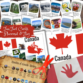
CANADA Canadian Information Poster, Timeline, Fun Facts Cards, Flag & Flag Craft
Learn all about Canada (and North America) in this fun interactive hands-on educational bundle. Learn fun facts and information with the Canada Poster, Flag & Fun Fact Cards. Create a fun hands-on craft the Canadian flag out of beans, including step-by-step instructions. Learn about major events in Canada's history with the timeline poster.Includes six (6) pages of resources, sized 8.5 X 11 inches. *Resources also included in the CANADA Activity Book.
Grades:
1st - 6th
Types:
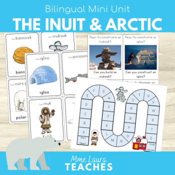
French / English Mini Unit The Inuit & the Arctic - Les Inuits et l'arctique
Let's learn about the Arctic and the Inuit! This mini unit is perfect for a primary inquiry on living in the Arctic in French and English. Set up fun activities and centers with beautiful vocabulary cards, STEM challenge cards, game boards and more. Appropriate for Kindergarten and up to grade 3 French as a second language students as well as homeschooling. Product overview page includes activity ideas.Download Includes:16 Bilingual Flash Cards6 Write the Room pages1 “I Spy” pageAlphabet Board G
Subjects:
Grades:
PreK - 3rd
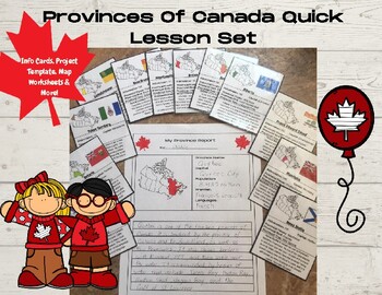
Canada Province And Territory Fact Cards & Worksheet No Prep Set
An easy and low prep way to get kids learning about Canada's provinces and territories!This unit contains 13 fact cards, a project template, and a map of Canada worksheets. It's a fun way to get kids thinking about Canadian geography and facts and to have a quick plan ready for class.Fact cardsThese fun cards can easily be stapled together or put on a binder ring. There is one for each province and territory, and it contains info about the province, how it got its name, its current population, a
Subjects:
Grades:
1st - 3rd
Also included in: Canadian Geography & Fact Learning Pack
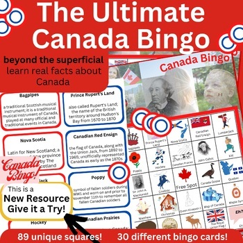
Canada Bingo - Canadian Facts - 89 unique spots w informative caller cards
Great to teach newcomers about the people and culture of the country, great to teach Canadians about their own identity, great for Americans to learn about Canada! This Social Studies Cultures Around the World Canada Bingo set goes beyond the superficial. Have your students learn Canadian facts: facts about John Cabot, Sir John A. Macdonald, Terry Fox, Queen Victoria, bagpipes, a poppy, Nova Scotia, the Northern Lights, Stompin' Tom Connors, ice skating, the Great Lakes, Queen Elizabeth II, an
Grades:
PreK - 12th
Also included in: The Incredible Canada Bundle - 2 Canadian Themed and Informative Games
Flash Cards: Provincial & Territorial Capitals - Distance Learning
This is our PROVINCIAL & TERRITORIAL CAPITALS section of our FLASH CARDS series. In this set, learn the 13 Canadian Provinces and Territories and their Capitals. These Flash Cards can be used in a group setting or individually for practice. The Flash Cards are used to promote comprehension with memorization through repetition. As an added activity, cut out the individual cards provided to complete a matching game. Match the image of the province with its name and/or with its capital. The pos
Subjects:
Grades:
2nd - 5th
Types:
Also included in: Flash Cards: COMBINED Capitals - Bundle - Distance Learning
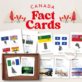
CANADA Fact Cards | Montessori Inspired Elementary Printable | Info Flash Cards
This is a great addition to your Montessori-inspired shelves! These fact cards are great for Elementary Level learners who are eager to study the Canada Facts.❗️Each page can be printed as single-sided or double-sided.Facts included:- Province flag- Province map- Province name- Province capital- Province population- Languages- Official bird- Official flower- a watercolor image of a place of interest⭐️ WHY FLASHCARDS? ⭐️✅ Great for visual learners,✅ Enhance and encourage active recalls,✅ An effec
Grades:
1st - 3rd
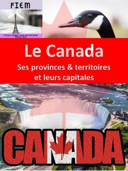
French: Le Canada: Ses provinces, territoires et capitales: 5 activities
French: Celebrate Canada with your students! Primary and Junior GradesDiscover Canada and its provinces, territories and capitals! Engage your students with 5 fun activities they will enjoy completing.Check out the PREVIEW FILE. EVERYTHING YOU NEED! and SAVE YOURSELF HOURS OF WORK!!!!!! Integrate this resource in your Social Studies program with accurate information at the reading level of your students!This resource is intended to develop the vocabulary and support the understanding of the Can
Subjects:
Grades:
3rd - 6th
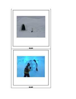
INUITS ET PREMIERES NATIONS photographies pour enseignants
PREMIERES NATIONS/autochtones (inuits et amérindiens)
70 photographies pour enseignants (illustrations pour cours, discussions, cartes de language etc.).
Copyright www.pedagogiekayser.com
J’utilise mes propres photographies. Reproduction autorisée en classe, reproduction commerciale interdite. Conseil d’utilisation : Imprimer les photographies et les faire plastifier.
Lieux : Territoires Mohawk, réserve de Mashteuiatsh, site d’interprétation Motokatan, Jardin des Premières Nations, Musée McC
Grades:
PreK - 6th
Grade 3 Social Studies I Can Statements and Teacher Checklist
These I Can Statements are based on the outcomes and Indicators outlined by the Saskatchewan Ministry of Education for the Grade 3 Social Studies Curriculum.
Teachers can print them off and laminate them to use as bulletin board headings or to post in the classroom so that students are aware of the purpose of the discussions they have and the activities they complete.
In addition, there is a file in this bundle that contains all the outcomes and indicators in table format with three columns. T
Grades:
3rd
Also included in: Grade 3 Social Studies Bundle of Resources
Canada Day Bundle - Canada Day Activities - July 1st Worksheets
Canada Day Bundle - Canada Day Activities - July 1st WorksheetsThe story behind this product : Canada Day (French: Fête du Canada) is the national day of Canada. A federal statutory holiday, it celebrates the anniversary of Canadian confederation which occurred on July 1, 1867, with the passing of the Constitution Act, 1867 where the three separate colonies of Canada, Nova Scotia, and New Brunswick were united into a single Dominion within the British Empire called Canada.Originally called Domin
Grades:
K - 10th
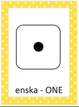
Mohawk Language Bundle
This is a bundle of several products in one, several of which are only available in this bundle. It includes: *Mohawk Numbers Printable *Mohawk Numbers Flash Cards Printable *Mohawk Numbers Dice Printable *Mohawk Numbers Dice Flash Cards Printable *Mohawk Colors Printable *Mohawk Colors Flash Cards PrintableThis product is great for a fun Language Center resource, an extension project for learning about Native American Language or just as a Native American resource.
Grades:
PreK - 4th
Types:
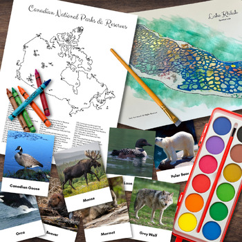
CANADA Canadian National Park Poster, Lake Khiluk Craft, Fauna 3-Part Cards
Learn about the many national parks Canada has with our illustrated poster - perfect for coloring and identifying the parks and geographical location. Create a fun process-art activity of Lake Khiluk, also known as Spotted Lake using crayons and water colors. Lastly, learn about the common animals of Canada with full color, Montessori-inspired 3-Part Cards.Includes eight (8) pages of resources, sized 8.5 X 11 inches. Resources also included in the CANADA Activity Book.
Subjects:
Grades:
K - 6th
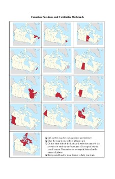
Provinces and Territories of Canada Flash Cards
Use these maps to help your students memorize their Canadian provinces and territories. You can print off this sheet on tabloid size paper and then have students paste each map onto a cue card. On the reverse side of the cue card, students can write the name of the province or territory and its capital city. Then students can test themselves and their peers. This is a great way to teach the study skill of using flash cards.
Grades:
3rd - 6th
Types:
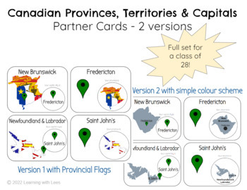
Canadian Provinces, Territories & Captial Cities - Partner Matching Cards
Full class set of 28 matching cards to be used as a full class, or as a center to match the provinces/territories with their capital cities!2 versions included - the first with the map of the province in their flag design- the second with a simple blue/grey colour schemeAll 13 provinces and territories & Canadian capital for a total of 14 pairs!
Grades:
3rd - 6th
Types:
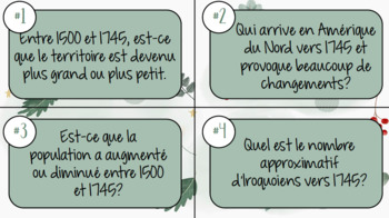
Cartes à tâches 3e année
Cartes à tâches pour les sociétés à l'étude prévues en 3e année- Iroquoiens vers 1500- Iroquoiens vs Algonquiens - Iroquoiens vs Incas- Iroquoiens entre 1500 et 1745 24 cartes par fichierFeuille-réponses pour chacunCorrigés inclus pour chacun Idéal pour Révision avant évaluations, jeu de groupe ou plan de travail
Grades:
3rd
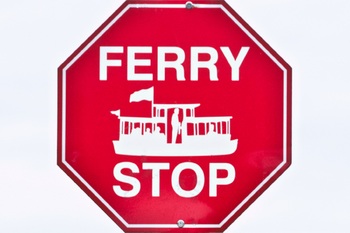
Traffic Sign Pictures from Canada-metric measurements-for commercial use.
4 x 6 jpeg pictures of traffic signs from Canada:20 Kilometer Sign30 Kilometer Sign50 Kilometer Sign90 Kilometer Sign-2 picturesBear in the Area SignBicycle and Pedestrian Crossing SignBlack and Yellow Warning SignBump SignCaution SignChildren Playing SignCircle Drive Parking Lot SignCommuter Lane SignCongestion Ahead SignCricket SignDanger Cliff Area SignDo Not Enter SignExit SignFerry SignFerry Stop SignGarbage SignGas, Restaurant, Hotel SignGas, Restaurant, Electric Hook Up, Park and Ride, an
Grades:
PreK - 12th, Higher Education, Adult Education
Types:
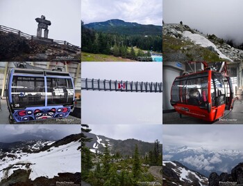
Whistler British Columbia Canada-Pictures for Commercial Use.
4 x 6 pictures of Whistler British Columbia Canada:Bear Carving StatueBlackcomb Trail-11 picturesBlackcomb Trail Gondola-5 picturesBridge-4 picturesCairnsCarved Cougar StatueDam-2 picturesFlowers in a FieldInukshuk StatueMarmot-3 picturesMt. Currie SignOlympic RingsPool at Blackcomb Trail-2 picturesRiver at Blackcomb Trail-3 picturesTotem-2 picturesTrees-7 picturesWhistler-18 picturesYellow Flower
Grades:
PreK - 12th, Higher Education
Types:
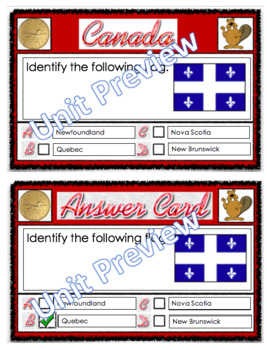
Canada Unit Quiz Flashcards with Answers 34 Cards. Province and Territories.
Just fold these cards in half and laminate them and you have the question on one side the answer on the other. Laminated these cards will last you for years.Questions asked:Capital city of each province, territory.Identify provincial flags.Longest beach.Other interesting questions.Check out the preview!Also Check out the larger more detailed Canada Unit PDF File in my store!Please Check out the hundreds of teaching resources I have in my store. Just click the link below.https://www.teacherspayte
Subjects:
Grades:
2nd - 10th
Types:
Also included in: Grade 3 Social Studies - Pioneers, Canada, Communities Files
Canada Day Flash Cards - Canada Day Activities - July 1st Games - 24 Flash Cards
Canada Day Flash Cards - Canada Day Activities - July 1st GamesThe story behind this product : Canada Day (French: Fête du Canada) is the national day of Canada. A federal statutory holiday, it celebrates the anniversary of Canadian confederation which occurred on July 1, 1867, with the passing of the Constitution Act, 1867 where the three separate colonies of Canada, Nova Scotia, and New Brunswick were united into a single Dominion within the British Empire called Canada.Originally called Domin
Subjects:
Grades:
PreK - 4th
Types:
Also included in: Canada Day Bundle - Canada Day Activities - July 1st Worksheets
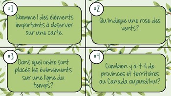
Cartes à tâches - Outils et bases en géographie
24 cartes à tâches sur les outils et les bases en géographie (ligne du temps, cartes, rose des vents, province du canada et régions administratives)Feuille-réponses incluseCorrigé inclus Idéal pour révision avec évaluation, plan de travail, jeu de groupe
Subjects:
Grades:
3rd - 6th
Showing 1-24 of 31 results


