59 results
Free Kindergarten U.S. History assessments
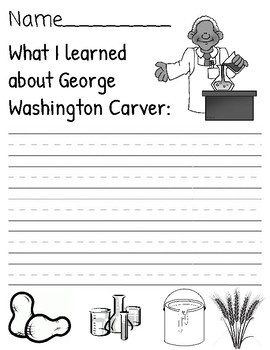
George Washington Carver Writing
Quick and easy way to assess student's understanding of the famous inventor, George Washington Carver. After a lesson, video, or book about him, have students complete this prompt to show something they learned from the content!
Subjects:
Grades:
K - 2nd
Types:
Memorial Day Emergent Reader with Quick Recall Assessment {Freebie}
Here is an easy PRINT & GO nonfiction emergent reader all about MEMORIAL DAY. Students can color the black and white clip art and there is a quick recall assessment included!
**If you download and like, PLEASE leave feedback**
You can also follow on IG @firstgradekmp
Grades:
K - 2nd
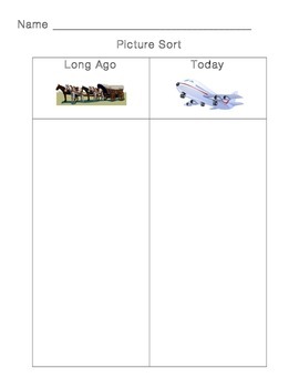
Long Ago and Today Picture Sort
A cut and paste picture sort for students in primary grades
Grades:
PreK - 2nd
Types:

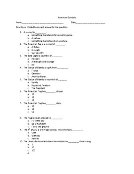
US Symbols Quiz for Kindergarten
This is a US Symbols quiz I created for Kindergarten to assess if students can identify The National Anthem, The Pledge of Allegiance, The Eagle, and The American Flag. This meets the standard Kindergarten History K.3.
The teacher will need to play two different songs (one for A and one for B) for #1, and say two different pledges for #2. Students will circle the correct symbol for #3 and #4.
This is my first product on TPT, please take a moment to rate if you download. Thank you!
Subjects:
Grades:
K - 1st
Types:
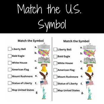
Important U.S. Symbols Matching
This worksheet is a great pre or post activity to reading the book A is for America by Devin Scillian. This download includes an attachment of the letter matching activity and an answer key. This activity is a great conversation starter when talking about the United States and some important national symbols.
Subjects:
Grades:
K - 2nd
Types:
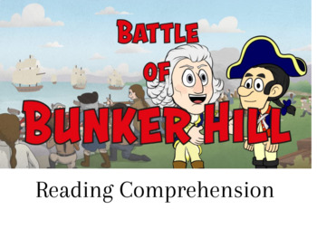
The Battle of Bunker Hill
This reading text is about the Battle of Bunker Hill. It includes 10 questions.
Grades:
K - 7th
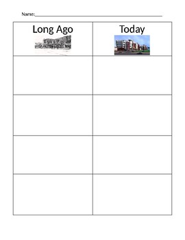
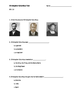
Christopher Columbus Test
This is a simple 10 question multiple choice, true/false test about Christopher Columbus. It is geared towards first and second grades.
Created by: Jessica Hamilton
Grades:
K - 2nd
Types:
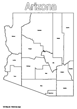
Arizona State Map with Counties Coloring and Learning
Click Here>>> for more interactive resourcesArizona State Map with Counties Coloring and LearningWelcome to our interactive educational resource - a detailed map of the state of Arizona with its counties! This vibrant and informative map is specifically designed to support learning and exploration of Arizona state geography in an engaging way.How You Can Use This Resource:Educational Activities: Introduce Arizona state geography in an engaging way in your geography or history lessons.I
Grades:
PreK - 12th, Higher Education
Types:
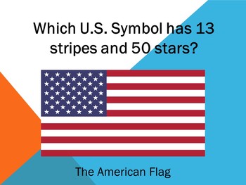
U.S Symbols Review Slideshow/PowerPoint
Just start slideshow from the beginning and click through to reveal the answers. Good for seeing what they know and for review. Includes the US flag, national anthem, Statue of Liberty, Liberty Bell, Great Seal, bald eagle, and more.
Subjects:
Grades:
K - 2nd

Ben Franklin Quiz
This True or False Quiz is a quick way to assess what students have learned about Benjamin Franklin.
Subjects:
Grades:
K - 2nd
Types:
13 Colonies and Boston Tea Party Lesson (30 min)
Our FREE turn-key lesson features the following items and can be used as a supplemental social studies or government lesson: Themes & Values, Learning Objectives, Key Terms, Introduction, Teacher Lesson, Six-minute Cartoon Episode, Activity, Worksheet, and more. All of our materials are meant to be supplemental; therefore, are not written to specific state or national standards. View our Scope and Sequence and additional lessons and resources via our website: www.littlepatriotslearning.com.
Subjects:
Grades:
K
Types:
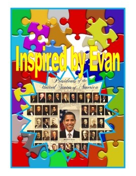
U.S. Presidents Flashcards/Neomenclature Cards for Autism
*These Three Part U.S. Presidents flashcards can be used as a teaching and assessment tool. Teach by showing the card with the picture and label. Assess with cutting the label away from the picture and having the student match it back correctly.
*A bonus reality photo of each President is provided for generalization skills. Photo cards can also be used for a Non-Identical matching task.
Presidents Included:
*George Washington
*Abraham Lincoln
*Ronald Reagan
*Andrew Jackson
*George W. Bush
*Bill
Grades:
PreK - 3rd
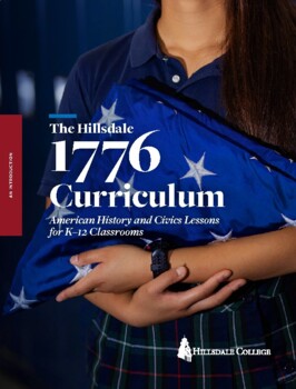
The Hillsdale 1776 Curriculum - An Introduction
American History and Civics Lessons for K-12 Classrooms from Hillsdale College. In addition to this introduction, the curriculum includes complete lesson plans, assignments, tests, and student-ready primary sources. The rest of these resources are all available for free at K12.Hillsdale.edu.
Subjects:
Grades:
K - 12th
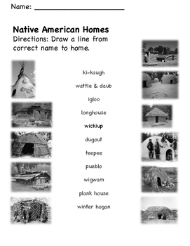
Native American Homes Matching
PreK-2nd grade teachers can use this simple matching activity as a pre/post assessment activity to measure students' abilities to recognize different historical home styles of Native American tribes.
Subjects:
Grades:
PreK - 2nd
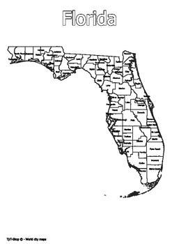
Florida State Map with Counties Coloring and Learning
Click Here>>> for more interactive resourcesFlorida State Map with Counties Coloring and LearningWelcome to our interactive educational resource - a detailed map of the state of Florida with its counties! This vibrant and informative map is specifically designed to support learning and exploration of Florida state geography in an engaging way.How You Can Use This Resource:Educational Activities: Introduce Florida state geography in an engaging way in your geography or history lessons.In
Grades:
PreK - 12th, Higher Education, Adult Education
Types:
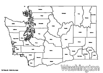
Washington State Map with Counties Coloring and Learning
Click Here>>> for more interactive resourcesWashington State Map with Counties Coloring and LearningWelcome to our interactive educational resource - a detailed map of the state of Washington with its counties! This vibrant and informative map is specifically designed to support learning and exploration of Washington state geography in an engaging way.How You Can Use This Resource:Educational Activities: Introduce Washington state geography in an engaging way in your geography or histor
Grades:
PreK - 9th, Higher Education
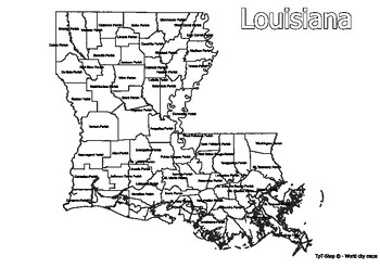
Louisiana State Map with Counties Coloring and Learning
Click Here>>> for more interactive resourcesLouisiana State Map with Counties Coloring and LearningWelcome to our interactive educational resource - a detailed map of the state of Louisiana with its counties! This vibrant and informative map is specifically designed to support learning and exploration of Louisiana state geography in an engaging way.How You Can Use This Resource:Educational Activities: Introduce Louisiana state geography in an engaging way in your geography or history le
Grades:
PreK - 12th, Higher Education, Adult Education
Types:
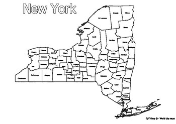
New York State Map with Counties Coloring and Learning
Click Here>>> for more interactive resourcesNew York State Map with Counties Coloring and LearningWelcome to our interactive educational resource - a detailed map of the state of New York with its counties! This vibrant and informative map is specifically designed to support learning and exploration of New York state geography in an engaging way.How You Can Use This Resource:Educational Activities: Introduce New York state geography in an engaging way in your geography or history lesso
Grades:
PreK - 12th, Higher Education, Adult Education
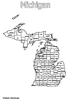
Michigan State Map with Counties Coloring and Learning
Click Here>>> for more interactive resourcesMichigan State Map with Counties Coloring and LearningWelcome to our interactive educational resource - a detailed map of the state of Michigan with its counties! This vibrant and informative map is specifically designed to support learning and exploration of Michigan state geography in an engaging way.How You Can Use This Resource:Educational Activities: Introduce Michigan state geography in an engaging way in your geography or history lesson
Grades:
PreK - 12th, Higher Education, Adult Education
Types:
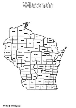
Wisconsin State Map with Counties Coloring and Learning
Click Here>>> for more interactive resourcesWisconsin State Map with Counties Coloring and LearningWelcome to our interactive educational resource - a detailed map of the state of Wisconsin with its counties! This vibrant and informative map is specifically designed to support learning and exploration of Wisconsin state geography in an engaging way.How You Can Use This Resource:Educational Activities: Introduce Wisconsin state geography in an engaging way in your geography or history l
Grades:
PreK - 11th, Higher Education
Types:
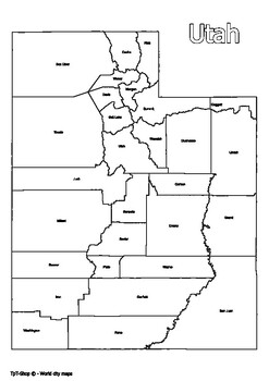
Utah State Map with Counties Coloring and Learning
Click Here>>> for more interactive resourcesUtah State Map with Counties Coloring and LearningWelcome to our interactive educational resource - a detailed map of the state of Utah with its counties! This vibrant and informative map is specifically designed to support learning and exploration of Utah state geography in an engaging way.How You Can Use This Resource:Educational Activities: Introduce Utah state geography in an engaging way in your geography or history lessons.Interactive Ga
Grades:
PreK - 12th, Higher Education
Types:

Georgia State Map with Counties Coloring and Learning
Click Here>>> for more interactive resourcesGeorgia State Map with Counties Coloring and LearningWelcome to our interactive educational resource - a detailed map of the state of Georgia with its counties! This vibrant and informative map is specifically designed to support learning and exploration of Georgia state geography in an engaging way.How You Can Use This Resource:Educational Activities: Introduce Georgia state geography in an engaging way in your geography or history lessons.In
Grades:
PreK - 12th, Higher Education, Adult Education
Types:
Showing 1-24 of 59 results


