1,753 results
3rd grade geography posters in English (UK)
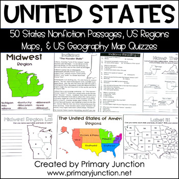
United States 50 States Reading Comprehension Passages Region Geography Map
Are you teaching a unit on United States geography or the 50 states and capitals, or would you like to incorporate some non-fiction informational texts into your instruction? These United States 50 States Reading Comprehension Passages and Region and Geography Maps will help you engage and teach your students interesting and important facts about each of the 50 states and their capitals, as well as assess students’ knowledge of each state’s location on a map. Each of the 50 state reading passag
Subjects:
Grades:
2nd - 5th
Types:
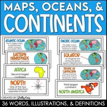
Continents and Oceans Maps and Posters | Geography and Maps Word Wall
Continents and Oceans and Map Skills can be fun to teach, especially when you have this great set of word wall cards. Each card includes the word, definition, and a clear, colorful illustration. Make a great bulletin board in just minutes!Click HERE to save 20% with the Continents, Oceans, and Map Skills BUNDLE!Please click on the PREVIEW above to get a clear picture of everything included.PERFECT for visually reinforcing landform vocabulary!This helpful continents, oceans, and maps word wall se
Grades:
2nd - 8th
Also included in: Maps, Continents and Oceans, Landforms, and Map Skills Bundle
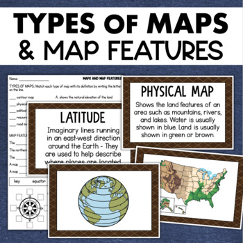
Types of Maps Map Features Skills Geography Posters Social Studies Assessment
Students will learn about different types of maps and common map features with this social studies resource. It includes 17 visuals/posters plus a worksheet/assessment.MAPS POSTERSThese can be kept together as a single page or cut apart into separate cards for display or a matching activity. The top of each card has the title and definition, and the bottom has a full-color illustration. WORKSHEETThis activity requires students to match the types of maps to their purpose, know the function of var
Subjects:
Grades:
3rd - 6th
Types:
Also included in: Geography Landforms & Bodies of Water Types of Maps Map Elements Posters
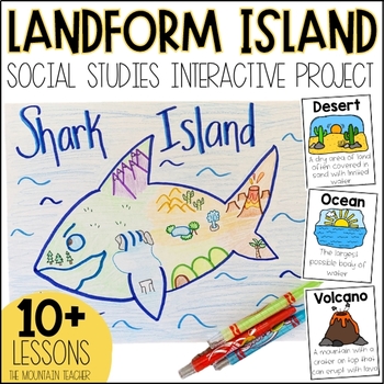
Landforms Project - Landform Island and Landforms and Body of Water Research
Engage your students in learning about landforms and bodies of water by having them apply their knowledge of these landforms and bodies of water to create a project... LANDFORM ISLAND! This creative social studies project is a hands-on geography activity perfect for your learners.What is the Landforms Project:Students will work alone or in groups to research 24 different landforms and bodies of water, draft a plan for their landform island, write all about their landform island and publish a pos
Subjects:
Grades:
1st - 3rd
Types:
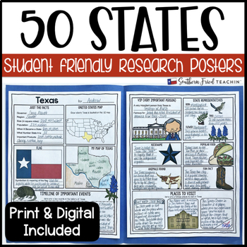
State (United States) Research Project Posters - Printable & Digital
States Research Project Posters are a fun and simple way for your students to research the states. These project posters are student friendly and help guide your students in what exactly to research. These posters are perfect for students to display their state research! And they look fabulous on a bulletin board or hallway display!This is part of my HUGE GROWING BUNDLE OF RESEARCH PROJECT POSTERS. This is includes ALL of my research project posters. Your students could become research experts a
Grades:
3rd - 8th
Types:
Also included in: GROWING BUNDLE Research Project Posters
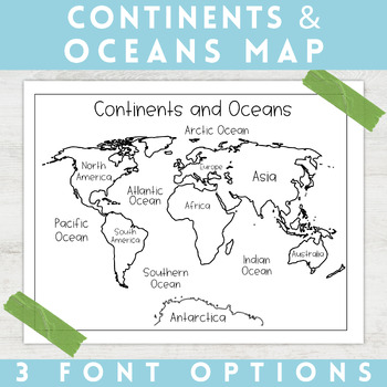
World Map Continents and Oceans | Black and White | Coloring Sheet
Enhance your minimalist classroom with these Black and White World Map with labeled Continents and Oceans!These black and white world map features each of the 7 continents and 5 oceans accurately labeled. These maps are great to print out, laminate, and hang up in a minimalist or neutral classroom. These maps are also great to print out and make copies for students to color! Please feel free to make copies of this resource for your students, or for your own kiddos.Updated 5/29/2024: There are no
Grades:
PreK - 9th
Types:
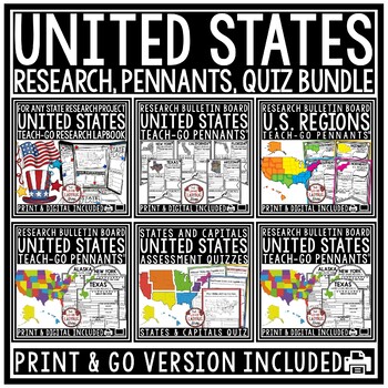
US Regions of the United States Geography States and Capitals Research Project
You will love having all your tools for teaching about the 50 United States with this Research Bundle. It includes State Research Pennants, Regions of the United States Pennants, 50 State Quizzes and more! I have bundled all my research templates into one easy money saving bundle. You will love having all these options for your students as you study throughout the year the 50 States of the United States. It is a great way to differentiate for your classroom. Kindly Note: Actual research is not i
Grades:
3rd - 5th
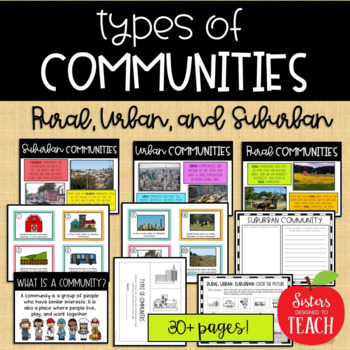
Types of Communities │Rural, Urban, & Suburban
This is the perfect bundle to use when teaching your students about the different types of communities (rural, suburban, and urban)! Your students will enjoy these hands on activities and task cards, which are great to use in centers. Posters are also provided for your students to refer to. Included in this bundle:-"What is a Community" Poster-Rural Communities Poster-Urban Communities Poster-Suburban Communities Poster-Rural, Urban, and Suburban Picture Cards (1 page each, 4 images to a page)-R
Subjects:
Grades:
K - 6th
Types:
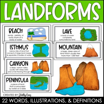
Landforms and Bodies of Water Posters and Word Wall
Landforms and bodies of water can be fun and easy to teach, especially when you have this beautiful set of word wall cards. Each card includes the word, definition, and a clear, colorful illustration. EASILY make an amazing landforms wall display in minutes!Click HERE to save 20% with the Continents, Oceans, Maps, and Landforms BUNDLE!Please click on the PREVIEW above to get a clear picture of everything included.This complete landform word wall set includes 22 vocabulary posters:basinbaybeachca
Grades:
3rd - 6th
Also included in: Maps, Continents and Oceans, Landforms, and Map Skills Bundle
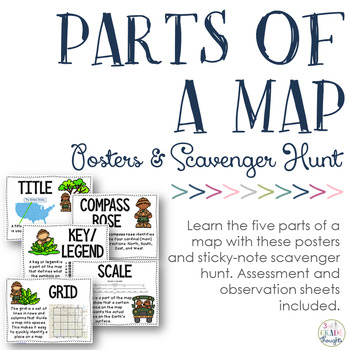
Parts of a Map: Posters & Sticky Note Scavenger Hunt
If you study maps, be sure to check out this resource for additional fun in your classroom!
This will help your students recognize and understand the five parts of a map:
- title
- compass rose
- key/ legend
- scale
- grid
Have students bring in maps from home, spread them around the room, give each child a set of printed sticky notes and have them label the different parts of the map they see.
Included in this set are:
- full-size posters of the five parts of a map
- sticky-note templates f
Subjects:
Grades:
2nd - 5th
Types:
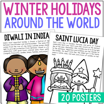
WINTER HOLIDAYS AROUND THE WORLD Posters | Christmas Culture Study Activity
This set of Christmas around the World posters is super versatile! You'll receive the pages in black/white AND full color. Shrink them down for interactive notebook inserts, mini books, bulletin board decor, hall displays, or as a quick coloring page to accompany your read-aloud. Students love these note pages because they provide just enough new vocabulary and ideas to engage but aren’t overwhelming.CLICK HERE to save 25% on this resource in the Christmas Posters Bundle!WINTER HOLIDAY THEMES IN
Grades:
PreK - 5th
Types:
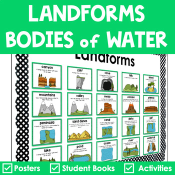
Landforms and Bodies of Water Posters Interactive Books Games and Worksheets
Do your students have a hard time recognizing landforms and bodies of water? Get everything you need to teach landforms and bodies of water in one pack. It includes anchor posters, sorting cards, riddle books, and more to scaffold learning for all students. The little books are in a riddle format, so your students must use critical thinking to solve. ✅ What’s Included:⭐️ Teacher Tips⭐️ 20 Large Landforms & Bodies of Water Posters⭐️ 20 Small Landforms & Bodies of Water Posters⭐️ 60 Lan
Subjects:
Grades:
K - 4th
Types:
Also included in: Landforms Bundle
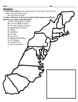
13 Colonies Map Project (8.5x11)
This project has three different differentiated levels for different levels of students, or to have them work up to... This project is set-up to print on 8.5x11 sheets of paper. In the first tier (the easiest), the students are given a map of the thirteen colonies and have to label each colony and then color the Northern/North Eastern Colonies, the Middle Colonies and the Southern Colonies different colors in a map key they create. In the second tier (medium difficulty), the students have to la
Subjects:
Grades:
3rd - 12th
Types:
4th Grade Social Studies Curriculum United States Geography Google Slides
The second unit in my 4th grade Social Studies is themed in United States Geography and includes lesson plans, reading passages, assessments, activities, and more. Each activity is also linked and downloadable to Google Drive for use in Google Classroom or other platforms. This unit correlates to concepts in the MC3 curriculum and meets Michigan Social Studies standards. Lessons are typically taught over a two day span.UPDATE: All files have been edited and updated where necessary!GOOGLE DRIVE
Grades:
3rd - 5th
Types:
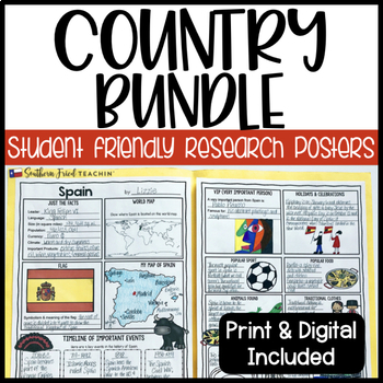
Country Research Project Posters BUNDLE - Printable & Digital
Country Research Project Posters are a fun and simple way for your students to research countries around the world. These project posters are student friendly and help guide your students in what exactly to research. These posters are perfect for students to display their research! And they look fabulous on a bulletin board or hallway display!As of now I have THREE sets of countries included in this bundle, but I am hoping to include more in the future. When I add more countries, the price will
Grades:
3rd - 6th
Types:
Landforms: For Young Globetrotters
Get your little globetrotters excited about landforms with this engaging bundle!
Use the posters to introduce landforms to your students, and have them make their own Globetrotter's Guide to Landforms. Don't feel limited by the clipart, blank templates allow you add your own!
What's Included:
Cover
Directions
Landforms Poster
Mountain Poster
Canyon Poster
Volcano Poster
Plain Poster
Valley Poster
Hill Poster
River Poster
Desert Poster
Island Poster
Ocean Poster
Lake Poster
Student Book: A Glo
Grades:
1st - 4th
Types:
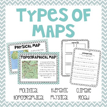
Types of Maps
Take a look at 6 different types of maps with these posters, graphic organizers, booklets, worksheets and memory match game.
Two versions of a make your own map book are included. One version is set up as a graphic organizer. The other is set up as a note taking book. Both include a space for students to draw their own picture or you can use the printable sized pictures for students to glue into their book. Customize your book by printing whichever pages you want for teaching your class!
What
Subjects:
Grades:
1st - 3rd
Types:
Also included in: Geography & Environmental Literacy - 2.G.1 & 2.G.2 Bundle
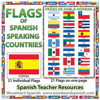
Flags of Spanish-speaking Countries
Flags of the 21 Spanish-speaking countries.
These flags are perfect for decorating the Spanish classroom. You may also want to laminate the flags and use them as large flashcards.
There are 21 individual flags of the following Spanish-speaking countries: Argentina, Bolivia, Chile, Colombia, Costa Rica, Cuba, Ecuador, El Salvador, España, Guatemala, Guinea Ecuatorial, Honduras, México, Nicaragua, Panamá, Paraguay, Perú, Puerto Rico, República Dominicana, Uruguay, Venezuela.
Each flag is on its
Subjects:
Grades:
1st - 12th, Adult Education
Also included in: Spanish Bundle – Spanish-speaking Countries and Capitals
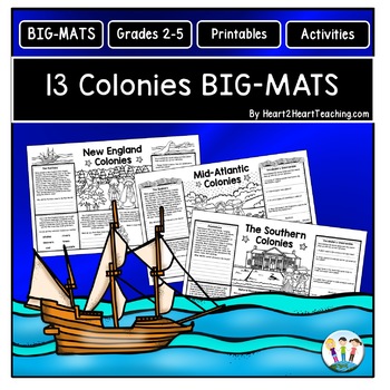
13 Colonies Fun Activities: BIG-MATS are FUN in a BIG Way! {Placemat 11x17}
13 Colonies BIG-MATS Activities are perfect to reinforce learning in a unique way. They are an excellent activity to use at the end of the lesson, as a culminating group activity, or to review for an upcoming test. BIG-MATS are FUN in a BIG way! Answers keys are included. This resource includes SIX---11 x 17 BIG-MATS---with TWO for each region--New England, Mid-Atlantic, and the Southern Colonies in a PDF. Answer keys are included in this pack. Simply print and copy these back-to-back in black a
Grades:
2nd - 5th
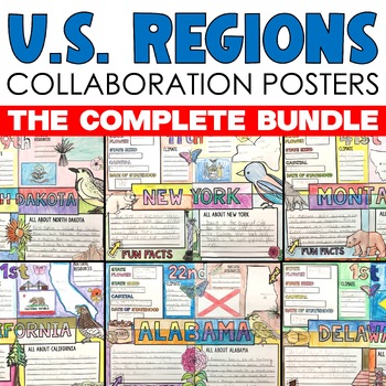
Regions of the US United States Regions Activities Collaborative Poster Projects
Regions of the United States Research Collaborative Posters let students work together to display their learning about each of the 50 states in the regions across the United States. Collaborative research poster activities are so much fun because they combine group work, with creativity, color and so much fun! This collaborative U.S. regions social studies project includes 50 state collaborative research poster activities that can be displayed separately or placed together to form a large colla
Subjects:
Grades:
3rd - 7th
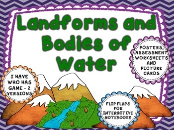
Landforms and Bodies of Water - Interactive pages, posters, and more.
Landform and body of water activity pack:
BUT WAIT- I have this pack in a bundle with my weathering, erosion, types of rocks, and rock cycle - both for $6.00 - You'll save $1.50. Go to
LANDFORMS, BODIES OF WATER, WEATHERING, EROSION, ROCKS BUNDLE
This unit includes:
1) I Have Who Has game for with 18 cards - definition and pictures (2 cards are blank in case you want to add your own feature that is not included).
2) I Have Who Has game with only pictures that students have to be able to id
Subjects:
Grades:
1st - 4th
Types:
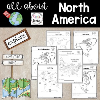
North America on the Map
Includes posters and worksheets for student response- World map poster with major oceans and continents labeled for whole group instruction or posters-My world map: Students label the major oceans and continents-Map of North America labeled with oceans for whole group instruction-Color map location for North America -Label the map of North America with word bank-Me on the Map, United States activity where students color and list their home state-Maps are perfect for posters or whole group instru
Subjects:
Grades:
K - 5th
Types:
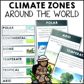
Climate Zones Maps Vocabulary Cards and Posters
These climate vocabulary cards and posters will help your students to understand what the major climate zones in the world are. They came with 4 options: vocabulary cards for your word wall (with image and definition), large poster with image, large poster with real photograph and large poster you can turn into either a student workbook piece or colour and decorate for the classroom wall.Note: if you are looking for the simplified Australian climate zones please look at this resource Climate Zon
Subjects:
Grades:
2nd - 4th
Types:
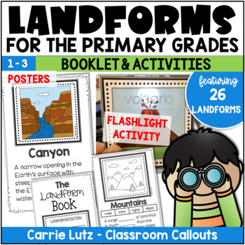
Landforms 2nd Grade | Booklet & Activities for Social Studies
Kids will have a blast learning about landforms with this engaging resource! In this packet, the information is given in the form of posters, assessed with a booklet and practiced with fun magic flashlight cards. The name of the landform magically appears when they shine the flashlight behind the card.About This Resource:Information Posters – Print these on card stock and laminate. Hang them up as you teach them, or all at once. Use only what you need, print only what you need. Students will use
Grades:
1st - 3rd
Types:
Also included in: Landforms 2nd Grade | Booklet, Posters, and Bingo Activities
Showing 1-24 of 1,753 results


