17,000+ results
4th grade world history resources under $5
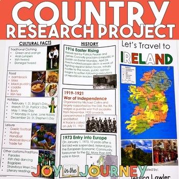
Country Research Project (Print & Digital)
Send your students on a world-wide tour with this print-and-go Country Research Travel Brochure Project! This fun and engaging project includes everything you need to assign the travel brochure, stay organized, guide the students in their research, and assess the final projectDownload includes:Brochure Sample Country Research Project Instructions“My Country Choices” – 4 per page (give one to each student)Student Country Choices Tracking SheetTravel Brochure Layout DirectionsResearch Log Student
Grades:
4th - 6th
Types:

INDUSTRIAL REVOLUTION Worksheet Activity Packet - Word Search, Crossword & More!
Introduce and review vocabulary for teaching about the first Industrial Revolution in the United States with this puzzle worksheet packet. The puzzles will give students a chance to familiarize themselves with important terms while having fun. Puzzles make great no prep activities for early finishers, bell ringers, morning work, handouts, homework, reading comprehension and lesson plan supplements, themed classrooms, sponge activities, introductions to new topics, and sub files.The list of puzz
Subjects:
Grades:
4th - 7th
Types:
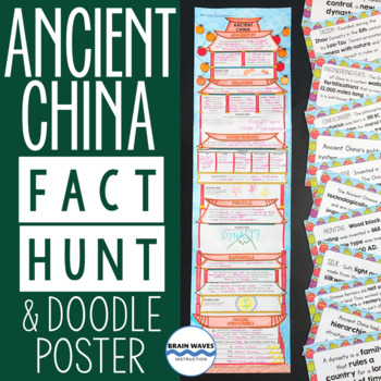
Ancient China Fact Hunt and Doodle Poster about ancient Chinese civilization
Students will learn about ancient China’s geography, religion, achievements, politics, economy, and social structures during this fun activity. First, they’ll rotate around the classroom to find fact cards about ancient China. They’ll transfer critical information from the cards to their poster worksheets. Finally, they’ll glue their work together to make a doodle poster shaped like an ancient Chinese temple. Oh, and they’ll fill their posters with doodles as they complete 5 different doodle tas
Grades:
4th - 7th
Types:
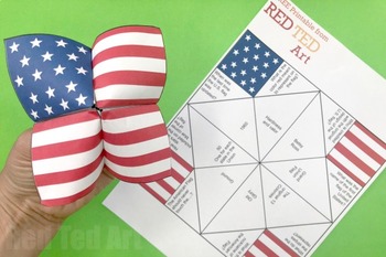
STEAM American Flag Cootie Catcher (4 Pages) - Memorial Day, 4th July, Flag Day
An easy patriotic STEAM Project for Memorial Day, 4th July or Flag Day. These American Flag Cootie Catcher printables are an easy patriotic project to print and distribute in the classroom. There are two flag cootie catchers available - the first contains a set of Flag Day facts. The second cootie catcher is blank so the children can practice writing and adding their own newly learnt facts for Memorial Day or 4th July (or make up their own questions!).This paper craft profits the opportunity to
Subjects:
Grades:
1st - 5th
Types:
Also included in: STEAM American Flag Activities x 5 - Memorial Day, 4th July, Flag Day
Causes of World War II Internet Scavenger Hunt WebQuest Activity (World War II)
Looking for a way to introduce or review the causes of World War II in your classroom? Check out this internet scavenger hunt! Students will use the scaffolded notes to guide their research throughout the website!Includes:- 4 page internet scavenger hunt (editable PDF or printable)- answer keyThis internet scavenger hunt covers Georgia Performance Standards:SS5H6 The student will explain the reasons for America’s involvement in WorldWar II.a. Describe Germany’s aggression in Europe and Japan’s a
Grades:
3rd - 8th
Types:
Also included in: World War II Unit Bundle (WWII, WW2)
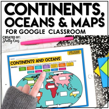
Continents and Oceans Activities for Google Classroom | Types of Maps
Are you looking for a different way to learn and reinforce Continents, Oceans, and Maps? Your students will love these easy-to-use Google Drive Activities! Students can practice and master identifying the continents and oceans of the world and also explore different types of maps by using the provided activities on Google slides. Click HERE to save 20% with the complete Maps, Continents, and Oceans Bundle!This engaging Google Drive resource includes:Continents, Oceans, and Maps Guide (a list of
Grades:
3rd - 6th
Types:
World War II: Holocaust PowerPoint and Notes Set (WWII, WW2)
This PowerPoint and Notes set is everything you need to teach your students about the Holocaust! It covers Hitler ruling Germany, ghettos, concentration camps, helping, hiding, Hitler's reign ending, and relocating after the Holocaust.
Includes:
- 11 slide PowerPoint
- 3 pages of scaffolded notes
- answer key
This PowerPoint and Notes Set covers Georgia Standards of Excellence:
SS5H4 Explain America’s involvement in World War II.
a. Describe German aggression in Europe and Japanese aggressio
Grades:
3rd - 8th
Also included in: World War II Unit Bundle (WWII, WW2)
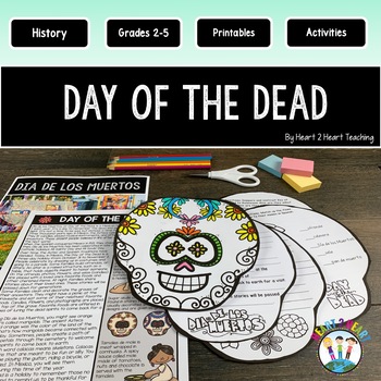
Day of the Dead Activities & Craft Reading Passages Flip Book Día de los Muertos
These fun activities were created to teach students about Dia de los Muertos, or Day of the Dead, a Mexican holiday celebrated in November each year. This is the perfect resource for teachers looking to engage their students in a fun and educational way. The Day of the Dead is a time to remember and celebrate the lives of loved ones who have passed away, while embracing the joy and beauty of life.What's Inside:Reading PassagesSymbols of the Day of the DeadComprehension QuestionsInformation about
Grades:
2nd - 4th
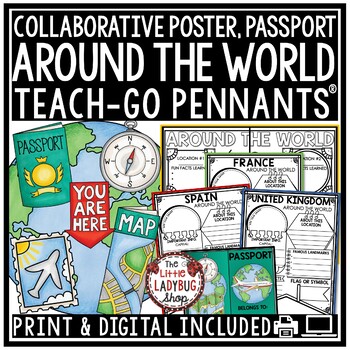
Countries Around The World Culture Country Research Project Templates Passport
Is your school doing Around The World Day? Engage and Grow your students with this packet including a Passport, Research Teach- Go Pennants® and a Collaborative Poster! Your students will love having these displayed after their research! INCLUDED:Print and digital bonus option includedGrading rubric45 Templates includedBlank Template for any extra countries you are studyingBack for extra information Passport in 2 sizes and cover in color and BWCollaborative Color Team Poster: examples provided!R
Grades:
3rd - 5th
Types:
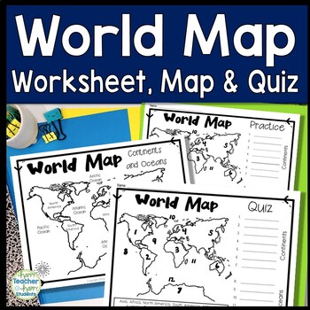
World Map: World Map Quiz (Test) and Map Worksheet | 7 Continents and 5 Oceans
Map of the World Test: Easy-to-read World Map Quiz requires students to locate 7 Continents and 5 Oceans. This resource also includes a world map printable for kids to practice learning the map of the world. Students must label continents and oceans: 7 Continents (Asia, Africa, North America, South America, Antarctica, Australia & Europe) and 5 Oceans (Atlantic, Pacific, Indian, Arctic & Southern). This is an ideal continents and oceans activities for 1st grade, 2nd grade, 3rd grade, 4th
Grades:
2nd - 6th
Types:
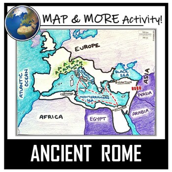
Ancient Rome Map Activity- Roman Empire (Label and Color!)
This Ancient Rome Map Coloring & Labeling Activity is a great resource to enhance your unit! Each student will make their own, personalized map of the Roman Empire, and learn about the geography and landmarks of the region. They will label and color their blank map, and answer follow-up questions related to the geography of Ancient Rome. A fun 'Make a Travel Brochure' project has also been added. It is a great way to connect this map activity to your lesson on Ancient Rome! A link to Goo
Grades:
4th - 11th
Types:
CCSS:
Also included in: Ancient Civilizations / World Maps BUNDLE- Color & Label Activities!
Italy Booklet (A Country Study!)
This "All About Italy" booklet can be used for a very basic country study in lower elementary grades! Each page contains a basic fact and related illustration! All graphics are in an outline format so that it's ready to be colored like a mini-coloring book.This coloring booklet gives all the general/basic information about Italy, including:-geography -Italian flag-capital city of Rome (famous sites)-popular Italian foods-most popular sport (football)-Ancient Romans (powerful military)-Leaning To
Grades:
K - 5th
Types:
Egypt Booklet (A Country Study!)
This "All About Egypt" booklet can be used for a very basic country study in lower elementary grades! Each page contains a basic fact and related illustration. All graphics are in an outline format so that it's ready to be colored like a mini-coloring book.
This coloring booklet gives all the general/basic information about Egypt, including:
-geography
-Egyptian flag
-The Nile River
-ancient Pharaohs
-the Sphinx/Great Pyramid of Giza
-camels
-religion
-mummification
-hieroglyphics
-common Ara
Subjects:
Grades:
K - 4th
Types:
Around The World Country Research Project Templates Rubric Geography Countries
Around the World Countries Research Teach-Go Pennants™ Templates. These are great templates for your students to use to research these locations. Colored and BW Pennants included, perfect for bulletin board displays!Click Here to Check out over 200 Teach-Go Pennants™INCLUDED:All 40 Pennants come in color and bw optionsGrading RubricBack side of pennant for extra researchLocations included:Blank for studying any other location not included.Africa (blank for added country)South America (blank for
Grades:
3rd - 5th
Types:
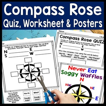
Compass Rose Worksheet, Quiz Test & Posters: Cardinal Intermediate Directions
Compass Rose Quiz, Posters & Practice Sheet Activities for Teaching Cardinal & Ordinal Directions. Students will enjoy practicing cardinal and intermediate directions with these Compass Rose Posters, Cut-and-Paste Compass Rose Worksheet printable and coordinating Compass Rose Quiz. Students must also create an original phrase to remember the directions, i.e. Never Eat Soggy Waffles! Teaching map skills? Need to review a compass rose for kids? Confused by north, east, south, & wes
Grades:
2nd - 6th
Types:
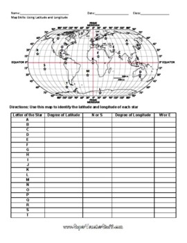
Latitude and Longitude Worksheet & Answer Key
This worksheet is an awesome way to teach Latitude and Longitude. The way that it is structured reinforces that Latitude measures North and South of the Equator, and that Longitude measures East and West of the Prime Meridian. This worksheet features a World Map with an Answer Key.
Subjects:
Grades:
3rd - 12th, Higher Education, Adult Education
Types:
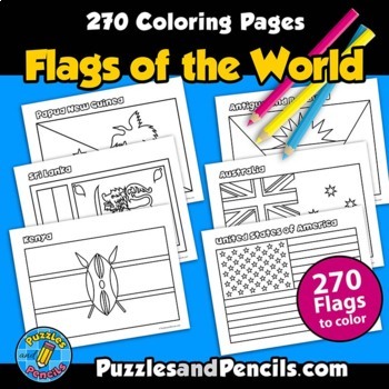
Flags of the World Coloring Pages | 270 World Flags to Make
Flags of the World Coloring Pages. No prep, printable pages. 270 world flags to color, cut out and decorate your classroom, home or bulletin board.Includes:- Coloring pages of 270 flags of the world. Black and white pages for printing. - Index of flags includedFlag document is sized for US letter paper (8.5 x 11) and can also be printed in other sizes using your printer settings.Reinforce learning and have fun making classroom decorations. Great for extending research projects and studies.__
Grades:
1st - 8th
Types:
Mulan Movie Guide l Questions l Worksheets
This is a 2-paged packet to give students as they watch Mulan! It includes 15 comprehension questions that follow along as they watch the movie. It has parts that scholars can color and an area where they can try to write "Mulan" in Chinese.It is a great way to review what scholars have learned about ancient China!This packet is not made to be difficult. This is a great resource to leave with a sub!**************************************************************************************************
Grades:
2nd - 8th

The Holocaust
Students will read and answer text dependent questions about the Holocaust, the rise of Hitler to power, concentration camps, and end of the Third Reich. There are critical thinking questions and some primary source photographs to analyze.
Grades:
4th - 8th
Types:
Also included in: World War II Bundle
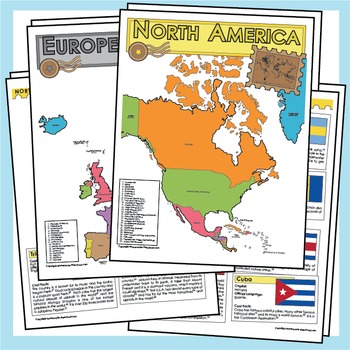
Countries of the World - Maps, Facts and Flags
Did you know that the Eiffel Tower was only built as a temporary structure, or that there is a hill that has been on fire for fifty years, or there is a country that rains fish? With over 200 hours of research, these worksheets are full of fun and interesting facts that will bring the countries of the world to life.
Grades:
1st - 12th
Types:
West Africa Empires Web Quest! Ghana, Mali, Songhai, Mansa Musa, Salt Gold Trade
West Africa Empires Web Quest! Ghana, Mali, Songhai, Mansa Musa, Salt Gold Trade!This West Africa lesson is included in the larger unit on Islam and West Africa, located here:Islam and West Africa Unit Bundle!Purchase this and save significantly!--------------In this highly-engaging web quest on West Africa, students investigate the West African Empires of Axum, Ghana, Mali, and Songhai, as well as the impact and legacy of Mansa Musa and the Salt and Gold Trade that popularized West Africa.Sever
Subjects:
Grades:
4th - 8th
Types:
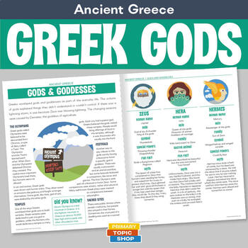
Ancient Greece - Greek Gods and Goddesses
Teach your students about fifteen of the main Greek gods and goddesses with illustrated listings, each with an original illustration, the Roman names, role, symbol, a myth and a combination of other fun facts. The introduction includes interesting facts about the ancient Greek religion including sacrifices, temples, festivals and Mount Olympus. This PDF includes information handouts, a fact file activity, a printable memory card game, match the Roman and Greek god activity, and differentiated re
Subjects:
Grades:
4th - 6th
Types:
Also included in: Mythology of the Romans, Greeks, Norse and Aztecs
World War II Timeline Activity (World War 2, WWII, WW2)
This World War II timeline activity is an awesome way for students to visually see the events of World War II in order! Students will cut and paste pages together and fill out the timeline using their own resources. There is a Word Bank included and an answer key! This activity can be used as an independent activity after learning about the World War II, as an ongoing activity throughout a unit, or as a quiz!
Includes:
- 2 page timeline to be cut and paste together
- 1 page of events to be glue
Grades:
3rd - 6th
Also included in: World War II Unit Bundle (WWII, WW2)
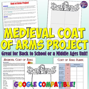
Middle Ages Coat of Arms Project
This Medieval Coat of Arms project is great for a unit on the Middle Ages or for a back-to-school "get to know each other activity"! Included is a directions page that gives the historic background of Coats of Arms and heraldry, as well as simple instructions for students on how to create a Coat of Arms. Next is a fantastic printable Coat of Arms template to use in class and a rubric to help with grading.An editable Google Drive version is now also included! This version can be completed all onl
Grades:
3rd - 9th
Types:
Showing 1-24 of 17,000+ results


