901 results
4th grade geography resources on sale
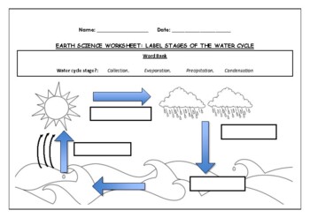
Earth Science worksheet: Label stages of the water cycle
Earth Science worksheet: Label stages of the water cycle2 VERSIONS OF WORKSHEET (Worksheet with a word bank & Worksheet with no word bank)Students have to label the stages of water cycle by looking at the diagram (Evaporation, Collection, Precipitation and Condensation)Students can color in the pictures they are doneWorksheet aimed at higher kindergarten/lower primary levelAnswer Key includedBoth PDF and Editable Word Versions included within the ZIP file
Subjects:
Grades:
K - 6th
Types:
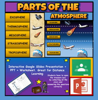
Layers Of The Atmosphere: Interactive Google Slides + PPT Version + Worksheet
Layers Of The Atmosphere: Interactive Google Slides + PPT + Worksheet (Distance Learning)Interactive presentation & quiz on Layers of the atmosphere. Please view the powerpoint previewINTERACTIVE GOOGLE SLIDES/POWER POINT PRESENTATION on layers of the atmosphere. It can be used for distance learning and google classroom or within the classroom.Once downloaded: Please view the GOOGLE SLIDES/POWERPOINT IN 'PRESENT ▶️' modeWorksheet also included in ZIP file 'Parts of the atmosphere' .These are
Subjects:
Grades:
3rd - 8th
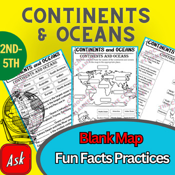
Continents And Oceans | Maps & Globes 7 Continets & Oceans | Facts Activities
Learning about continents and oceans on a map is a great way to engage students and help them remember all seven continents and major oceans in geography. This resource provides tons of practice on maps to help your kids identify the continents and oceans, as well as learn fun new information about each continent and ocean.The facts about continents and oceans are designed in different interactive formats to help your kids engage and have fun while completing them.As there are many questions reg
Subjects:
Grades:
2nd - 5th
Types:
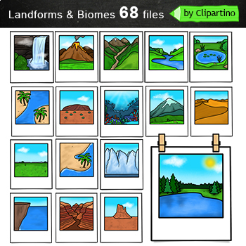
Biomes And Landforms Clip Art Commercial use
Biomes And Landforms Clip Art Bundle includes 68 files (34 color files PNG/JPG & 34 black white files. ) + 68 files NO FRAMESize one file about 6 inch 300 dpi. For personal and commercial use.Citycountrysidedesert mountainsocean pond rainforest savanna tundravolcano polar desertbay chaparral grassland taiga boreal foresttemperate deciduous forestbutte canyon cliff deltas dunes fjord glaciers hillsIsland Isthmus lake river peninsulas plains plateaus strait valleys waterfallYou will like other
Subjects:
Grades:
PreK - 6th, Staff
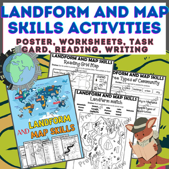
Landform & Map Skills Activity (Poster, Worksheets, Task card, Reading, Writing
Let's spice up your landform and map skills lessons and make learning super fun for your second, third, and fourth-grade students. This Landform & Map Skills Activity (Poster, Worksheets, Task card, Reading, Writing resource covers cool topics like maps, globes, continents, oceans, landforms, suburban, urban, rural areas, directions, and more!The best part? You can use these map skills and landform activities during whole group instruction, independent work, or center time. It's all about fl
Grades:
3rd - 5th
Types:
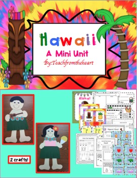
Hawaii ( A Mini Unit)
Aloha! I created this mini unit all about Hawaii for my kiddies! With so much culture and attractions, your students will feel like they just took a mini vacation! :) I have also included boarding passes to give out when you begin the unit! This is great to go with any social studies unit, too. I have also included a MINI BOOK! :)
Here's what is included:
-Hawaiian boy and girl craft (with guitar and shaved ice!) :)
-Boarding pass for girl and boy(I give these out before the unit begins)
-Aloh
Grades:
1st - 4th
Weather Clip art Commercial use
Weather Clipart For personal and commercial use Download preview with free clipart inside license included!You will receive 35 COLOR files PNG & JPG + 26 BLACK WHITE files PNG & JPG.Size 1 file about 5 inch.Subscribe and don't miss the next freebie!Keywords: climate, weather, icons, clip art, graphics, coloring, sale, umbrella, sun, clouds, snow, rain, rainbow, hail, wind, hurricane
Subjects:
Grades:
PreK - 5th
Colonial America Activity for 13 Colonies; 13 Colonies Activities
13 Colonies {New England, Middle, Southern} Scavenger Hunt Activity: A content-rich and fun way to engage students and introduce your unit! ♥You have to see the preview! OVER 600 sold and LOVED!♥This is part of my Colonies BUNDLE {3 Activities!} Let intermediate-middle grade students get up and MOVE while you introduce them to Colonial America!! In this activity, they will complete a scavenger hunt to find important information about the 13 original colonies, the New England, Middle, and Souther
Grades:
4th - 7th
Types:
Also included in: 13 Colonies Activity BUNDLE for Colonial America
Sudamérica | Bundle de Actividades
Sudamérica, tierra de grandes regiones culturales | Bundle de ActividadesEste bundle incluye una presentación en PowerPoint y las hojas de tarea para trabajar el tema "Sudamérica, tierra de grandes regiones culturales" de la unidad 1.6 de la clase de Adquisición a la Lengua para primer grado del Departamento de Educación de Puerto Rico.Este recurso ha sido creado para trabajar solamente la parte de Sudamérica, basado en la tabla sugerida por continentes del Departamento de Educación de PR. No in
Subjects:
Grades:
1st - 6th
Antártida, el continente más frío | Bundle de Actividades
Antártida, el continente más frío | Bundle de ActividadesEste bundle incluye una presentación en PowerPoint y las hojas de tarea para trabajar el tema "Antártida, el continente más frío" de la unidad 1.5 de la clase de Adquisición a la Lengua para primer grado del departamento de Educación de Puerto Rico.Este recurso ha sido creado para trabajar solamente la parte de Antártida, basado en la tabla sugerida por continentes del Departamento de Educación de PR. No incluye actividades o temas de lect
Subjects:
Grades:
1st - 6th
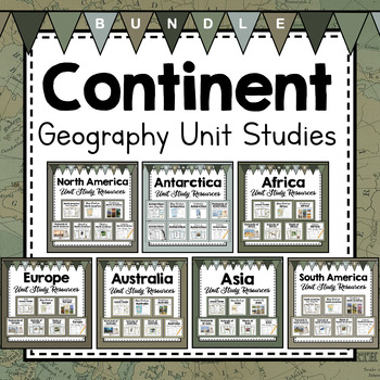
Continent Unit Studies From Around the World
This huge bundle is so full of amazing resources to use as you teach your students about the continents and countries around the world. Study animals, plants, map making, landmarks, landforms, countries, traditions, and culture from every continent. All products are provided with metric and imperial measurements so that you can enjoy no matter how you measure! I hope you enjoy!You Can Also Purchase Geography Bundles by Product Type:Map Work From Around The World BundleAnimals From Around The Wor
Subjects:
Grades:
4th - 6th
NGSS:
5-ESS2-2
, MS-ESS2-3
, 4-ESS2-2
, 4-ESS3-2
, 4-ESS2-1
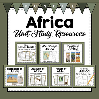
BUNDLE: Africa Unit Studies Resources | Africa Unit Activities
This bundle will help provide a ton a resources to make your exploration of the African continent effective and fun! These resources are packed with great information, photos, and activities to really round out your Africa unit study! Learn about animals, plants, countries, landmarks, and landforms of the huge continent of Africa! All these resources have versions using both the metric system and the imperial measurement system.Check out other Continent Bundles:South America Unit Study Resource
Subjects:
Grades:
4th - 6th
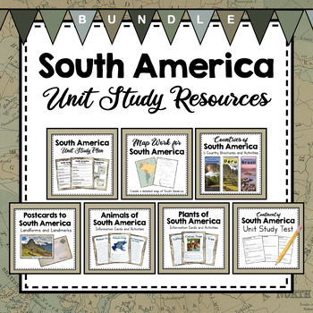
BUNDLE: South America Unit Studies Resources | South America Unit Activities
Explore the continent of South America with your class with this bundle of fabulous resources! Learn about the plants, animals, countries, landmarks, landforms, and maps of this continent. Enjoy!Check out other Continent Bundles:South America Unit Study Resource BundleNorth America Unit Study Resources BundleAsia Unit Study Resource BundleEurope Unit Study Resource BundleAfrica Unit Study Resource BundleAntarctica Unit Study Resource BundleAustralia Unit Study Resources BundleYou Might Also Enjo
Subjects:
Grades:
4th - 6th
NGSS:
4-ESS2-2
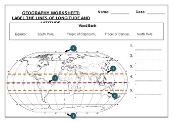
Geography worksheet: Label the lines of longitude and latitude
Geography worksheet: Label the lines of longitude and latitudeStudents have to label the lines of latitude and longitude with the correct names (Equator, South Pole, Tropic of Capricorn, Tropic of Cancer, North Pole)Worksheet aimed at primary level/ high school levelStudent can color in the world map when they are finishedAnswer key included on second page.
Subjects:
Grades:
2nd - 7th
Types:
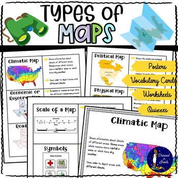
Types of Maps Worksheets with BOOM Cards | Distance Learning
This resource covers six kind of maps:Political mapsPhysical mapsTopographic mapsClimatic mapsEconomic / Resource mapsRoad mapsNot only does it explain to students what each map means but also explains what scales and map symbols are used for.There is a quiz, cut and paste activities, fill in the blanks, map symbols activity, make your own map and key project, draw that map activity, and more!There is plenty of projects to create if you let your creativity come afloat!For example poster projects
Grades:
3rd - 6th
Types:
CCSS:
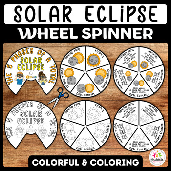
Total Solar Eclipse Craft Spinner Activity | Solar Eclipse 2024 Wheel Spinner
Engage your students with an exciting hands-on learning experience with our Total Solar Eclipse Craft Spinner Activity! Perfect for the upcoming Solar Eclipse 2024, this printable wheel offers two versions: a vibrant color template and a black and white version for coloring. Each wheel comprises two pieces, allowing children to assemble and customize their own eclipse spinner.Explore the mesmerizing journey of a solar eclipse through its five phases: First Contact, Second Contact, Totality, Thir
Subjects:
Grades:
K - 6th
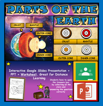
Layers and Parts of the Earth Powerpoint: Crust | Mantle | Inner and Outer Core
Layers of the Earth: Parts Of The Earth Interactive Google Slides + Powerpoint + Printable WorksheetInteractive presentation & quiz on parts of the Earth. Please view the video and PDF preview to get a better understanding of this product.INTERACTIVE GOOGLE SLIDES/POWER POINT PRESENTATION on layers of the Earth. It can be used for distance learning and google classroom or within the classroom.Once downloaded: Please view the GOOGLE SLIDES/POWERPOINT IN 'PRESENT ▶️' modeWorksheet also include
Subjects:
Grades:
3rd - 6th
Types:
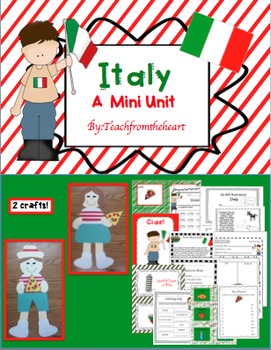
Italy (A Mini Unit)
I created this mini unit all about Italy for my kiddies! With so much culture and attractions, your students will feel like they just took a mini vacation! :) I have also included boarding passes to give out when you begin the unit! This is great to go with any social studies unit, too. I have also included a MINI BOOK! :)
Here's what is included:
-Italian boy and girl craft (with pizza) :)
-Boarding pass for girl and boy(I give these out before the unit begins)
-Ciao poster to hang up in your
Subjects:
Grades:
1st - 4th
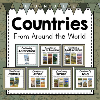
Countries From Around the World
Learn about countries from all the continents in this amazing set! A total of 31 double-sided color brochures that teach fascinating details about the country and culture. Also included are passports and stamps, flag coloring pages, mini books to create, and a craft or art activity for each country. These are perfect to compliment continent unit studies and your geography lessons. Each product comes with a set using the metric system and a set using the imperial system. Enjoy!You Can Also Purcha
Subjects:
Grades:
4th - 6th
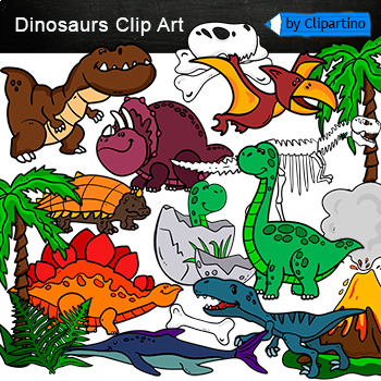
Dinosaurs Clip Art Commercial use
Cute Dinosaur Clip Art Commercial use/ Dino Clipart includes: fern * dino egg* volcano* Bones with skull Dinosaur* bone *dinosaur skeleton* ankylosaurus* apatosaurus* ichthyosaurus* pterodactyl* stegosaurus* triceratops* tyrannosaur* tyrannosaurus rex *tyrannosaurus rex.Download preview with free clipart inside license included!All18 png files transparent background+jpgand 17 png black-white coloring outlines files+jpgFor personal and small commercial use!!!! See more animals clipartDinosaurs of
Grades:
PreK - 12th, Higher Education, Adult Education, Staff
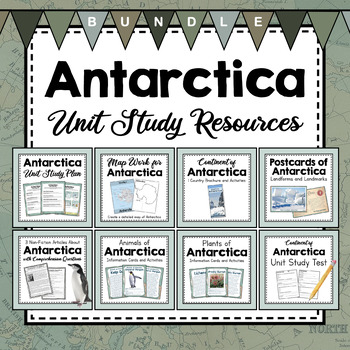
BUNDLE: Antarctica Unit Study Resources | Antarctica Unit Activities
Love learning about Antarctica? These resources will round out your Antarctica Unit Study. Using map work, non-fiction articles about explorers and penguins, persuasive writing templates, plants and animals that live in Antarctica, postcards from notable landmarks and landforms, and a brochure that outlines some important facts about Antarctica. This set is just bulging with helpful, informative resources for a unit study on Antarctica. Don't worry- All these resources have both metric and imper
Subjects:
Grades:
3rd - 5th
Types:
NGSS:
4-ESS2-2
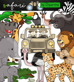
Cute Safari animals Clip Art /African Animals /Commercial use
Safari clipart bundle inclides 22 png files transparent background+jpgand safari clip art 22 png+jpg black-white filessize 1 files about 6 inch 300 dpiFor personal and commercial use!!!African Animals & Savanna clipart (Animal jungle clip art)BinocularjeepJeep with boysBoyscrocodileantelopehippoelephantbaby elephantbuffaloa lionleopardhyenarhinoceroshippostonebeaktreegrassostrich!!!! See more animals clipartOcean animals clipartSafari clipartBugs clipartBirds ClipartDinosaur ClipartArctic An
Grades:
PreK - 12th, Higher Education, Adult Education, Staff
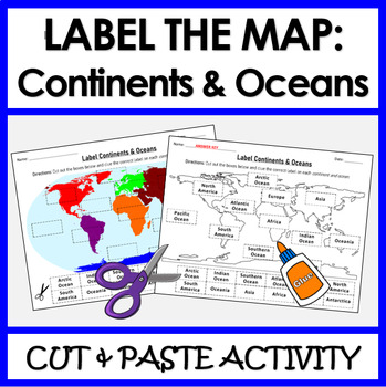
Label Continents and Oceans | Cut & Paste Sorting Activity
Let your students have fun with this cut and paste activity labelling Earth’s 7 continents and 5 oceans. This NO PREP resource provides your students with hands-on opportunity to practice labeling the continents and oceans on a world map. Three different options for a variety of practice: label the continents, label the oceans, or label BOTH the continents and oceans.Click HERE if you want a digital drag and drop version of the same activity designed for Google Slides. This product includes:Cut
Subjects:
Grades:
1st - 4th
Types:
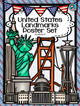
United States Landmarks Facts & Poster Set
If you are looking to improve your students skills in Geography here is the resource you need. I had so much fun researching these Landmarks and sparkle my skills also with the new facts on the most famous landmarks of the United States. Lots of information, but cool things you can use in class. Here is a set of Posters with their Fact Sheet. You can print it on card stock with double sided with the facts or separated to create your own activities for your students. The will have fun with ge
Grades:
PreK - 12th, Higher Education, Adult Education, Staff
Showing 1-24 of 901 results


