18 results
Kindergarten geography clip arts for Microsoft PowerPoint
The 5 Oceans - BUNDLE
Updated: November 16, 2022Introduce your students to the 5 oceans with this colorful bundle, including a PowerPoint lesson, worksheets, and map graphics.This bundle includes:The 5 Oceans - PowerPoint2 Ocean Worksheets32 Globe & Map Graphics
Grades:
K - 4th
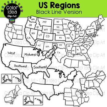
US Regions - Black Line Version
This set contains 24 images. BLACK LINE VERSION ONLY. Images saved at 300 dpi in png files.PLEASE NOTE: These are not exact maps, are graphical representation only.Check out these related clipart sets:Map Skills Clip ArtMap PointersNeighborhood Map SkillsI also have quite a complete selection of clipart in the following bundle:US Regions BundleLandforms BundleEarth Science - Geology Mega BundleEarth Science - Geology Mega Bundle 2☆ Click to follow me to get freebies and updates on new products!
Grades:
PreK - 12th, Adult Education, Staff
Also included in: US Regions Bundle
Travel the world!
Take your students to several different countries with these colorful pages. Each country represented includes a colorful map, page with several images specific to that country, so basic information about that country, and some printable color sheets. Use these slides alone or as conversation starters for your other social studies activities, to activate prior knowledge, learn about other countries, and learn about each other. Easily delete my Bitmoji for your own. For those not tech savvy, I've
Grades:
PreK - 3rd
Types:
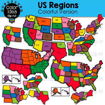
US Regions - Colorful Version
This set contains 23 images. COLORED VERSION ONLY. Images saved at 300 dpi in png files.PLEASE NOTE: These are not exact maps, are graphical representation only.Check out these related clipart sets:Map Skills Clip ArtMap PointersNeighborhood Map SkillsI also have quite a complete selection of clipart in the following bundles:US Regions BundleLandforms BundleEarth Science - Geology Mega BundleEarth Science - Geology Mega Bundle 2☆ Click to follow me to get freebies and updates on new products!☆ F
Grades:
PreK - 12th, Adult Education, Staff
Also included in: US Regions Bundle
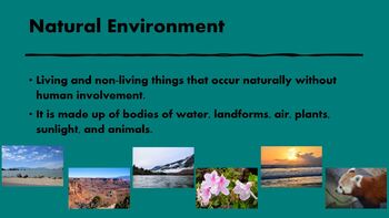
Natural Environments-Pictures of Water and Land Formations for Commercial Use.
PowerPoint that contains water and land formations and definitions for each.archbeachbuttecanyoncavegeyserhoodoosislandlakemarshmesamountainsoceanplainsplateau
Subjects:
Grades:
PreK - 6th
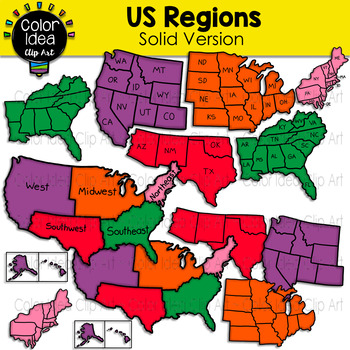
US Regions - Solid Version
This set contains 23 images. COLORED VERSION ONLY. Images saved at 300 dpi in png files.PLEASE NOTE: These are not exact maps, are graphical representation only.Check out these related clipart sets:Map Skills Clip ArtMap PointersNeighborhood Map SkillsI also have quite a complete selection of clipart in the following bundles:US Regions BundleLandforms BundleEarth Science - Geology Mega BundleEarth Science - Geology Mega Bundle 2☆ Click to follow me to get freebies and updates on new products!☆ F
Grades:
PreK - 12th, Adult Education, Staff
Also included in: US Regions Bundle
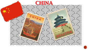
English Class Presentation - China for kids!
This presentation contains very interesting information about chinese culture aspects, such as chinese characters, food, sights etc. In addition, riddles and quiz will help you to make your english class more interesting for kids!
Subjects:
Grades:
PreK - 6th
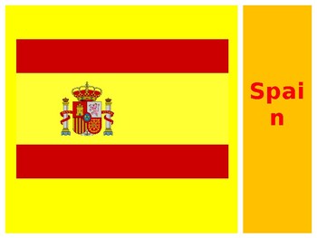
Spain
An introduction to Spain suitable for kindergarteners to third-graders.
Subjects:
Grades:
PreK - 3rd
North America outline map 24 inches
North America outline map 24 inches within a Blue circle
Grades:
PreK - 5th
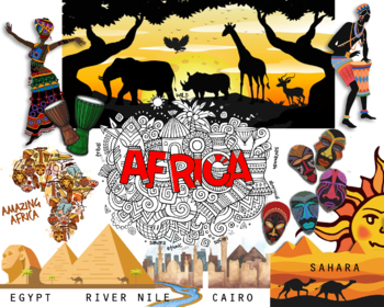
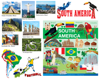
South America Poster 24 by 30 inches
South America Poster 24 by 30 inches print size
Grades:
PreK - 5th
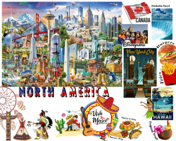
North America Poster 24 by 30 inches
North America Poster 24 by 30 inches print size
Grades:
PreK - 5th
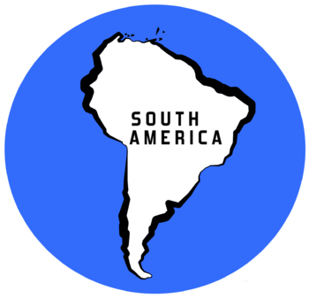
South America outline map 24 inches
South America outline map 24 inches within a blue circle
Grades:
PreK - 5th
Basic Geography Review (English Only)
This presentation goes over the basic geography terms that should be reviewed at the beginning of the school year. Print the map for students to label and practice.
Grades:
K - 6th
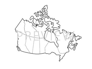
Hand-Drawn Map of Canada Clipart
Clipart of Canada, with thin white outline. Perfect for slideshows, worksheets on displays. Customize it to show whatever you'd like!
Grades:
PreK - 12th, Higher Education, Adult Education, Staff
Types:
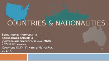
Countries and nationalities
This is a short presenttation of some countries and nationalities for kids or esl learners
Subjects:
Grades:
K - 4th
Showing 1-18 of 18 results


