137 results
7th grade world history activity interactive whiteboards
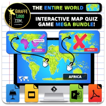
Entire World Interactive World Geography Game & Map Quiz ~ MEGA BUNDLE!
The Entire World Interactive Map Quiz Game MEGA BUNDLE is the absolute coolest way to learn Geography both in and out of the classroom! No Prep required, simple and easy to use, just open up the Interactive Map Quiz Game in one of the x4 included Formats (PowerPoint / Google Slides / Keynote / PDF) and let the learning begin! Each Map Quiz includes x846 slides for ALL x276 Countries + Regions in The Entire World! Maps are engagingly themed to spark students interest, work great for fun class wid
Grades:
4th - 10th
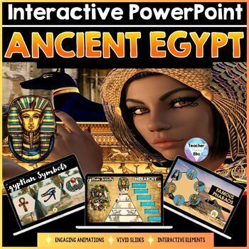
Ancient Egypt Interactive PowerPoint + Geography & Map Activities | NO PREP
Ancient Egypt Interactive PowerPoint + Geography & Map Activities | NO PREP Immerse your students in an unforgettable virtual experience with this engaging, interactive PowerPoint, which is a great Ancient Egypt Activity and Project! ✨ Designed as part of a comprehensive Ancient Egypt Curriculum Unit, this resource guarantees a memorable lesson on this ancient civilization. It is intended for students in upper elementary and middle school, aged between 9 and 14.This comprehensive PowerPoint
Grades:
4th - 8th, Higher Education, Adult Education
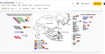
Interactive Imperialism in Asia Mapping Activity
This would work awesome on an interactive whiteboard, or has been made to adapting to this hybrid virtual teaching world. Students can label a map showing the different colonies in Asia during the Age of Imperialism 10.4.
Subjects:
Grades:
7th - 11th
Stone Age Interactive PowerPoint - Early Humans & Prehistory | NO PREP
Stone Age Interactive PowerPoint - Early Humans & Prehistory | NO PREP Immerse your students in an unforgettable virtual experience with this engaging, interactive PowerPoint, which is a great Stone AGe Project! ✨ Designed as part of a comprehensive Stone Age and Early Humans Unit, this resource guarantees a memorable lesson on Prehistory. It is intended for students in upper elementary and middle school, aged between 9 and 14.This comprehensive PowerPoint comprises 44 captivating slides,
Grades:
4th - 8th, Higher Education, Adult Education
Also included in: Stone Age Curriculum BUNDLE - Lesson Plans Early Humans & Prehistory

Geography Warm Ups and Task Cards
Daily warm ups are a great way to get kids working the second they enter your classroom. These 50 task cards can be displayed on your smart board as daily geography practice. The task cards can also be used as a center activity for students to practice their world geography skills or can be placed around the room for students to answer in a gallery walk. You choose!
Grades:
5th - 8th
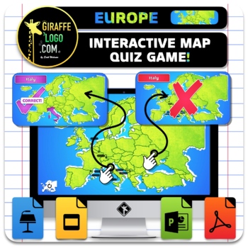
Europe Interactive World Geography Game & Map Quiz
The Europe Interactive Map Quiz Game is the absolute coolest way to learn Geography both in and out of the classroom! No Prep required, simple and easy to use, just open up the Interactive Map Quiz Game in one of the x4 included Formats (PowerPoint / Google Slides / Keynote / PDF) and let the learning begin! Each Map Quiz includes x134 slides for ALL x44 countries in Europe! Maps are engagingly themed to spark students interest, work great for fun class wide review games or individual practice o
Grades:
4th - 10th
Also included in: Entire World Interactive World Geography Game & Map Quiz ~ MEGA BUNDLE!

Holocaust Project - WW2 Unit - Interactive PowerPoint | NO PREP - ready-to-use
Holocaust Project - WW2 Unit - Interactive PowerPoint | NO PREP - ready-to-use Immerse your students in an unforgettable virtual experience with this engaging, interactive PowerPoint, which is a great Holocaust Project! ✨ Designed as part of a comprehensive WW2 Unit, this resource guarantees a memorable lesson on the Holocaust. This comprehensive PowerPoint comprises 50 captivating slides, ideal for dynamic classroom presentations. Alternatively, students can navigate the presentation individu
Grades:
7th - 12th, Higher Education, Adult Education
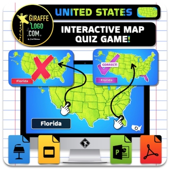
USA Interactive World Geography Game & Map Quiz
The United States of America Interactive Map Quiz Game is the absolute coolest way to learn Geography both in and out of the classroom! No Prep required, simple and easy to use, just open up the Interactive Map Quiz Game in one of the x4 included Formats (PowerPoint / Google Slides / Keynote / PDF) and let the learning begin! Each Map Quiz includes x152 slides for ALL x50 States in The USA! Maps are engagingly themed to spark students interest, work great for fun class wide review games or indiv
Grades:
4th - 10th
Also included in: Entire World Interactive World Geography Game & Map Quiz ~ MEGA BUNDLE!
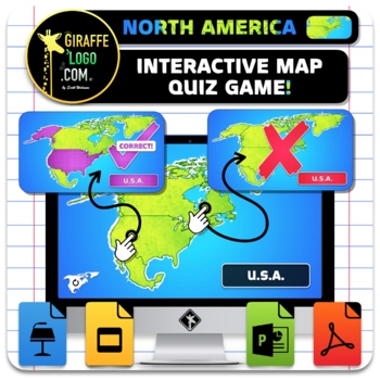
North America Interactive World Geography Game & Map Quiz ~ FREEBIE!
The North America Interactive Map Quiz Game is the absolute coolest way to learn Geography both in and out of the classroom! No Prep required, simple and easy to use, just open up document and let the learning begin! Each Map Quiz includes x14 slides for all x4 countries + regions in North America! Maps are engagingly themed to spark students interest, work great for fun class wide review games or individual practice of geography skills, is perfect for in person or online learning, and can even
Grades:
4th - 10th
Also included in: Entire World Interactive World Geography Game & Map Quiz ~ MEGA BUNDLE!
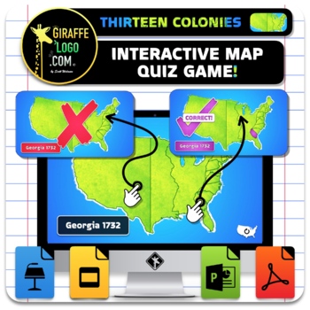
13 Colonies Interactive World Geography Game & Map Quiz
The Thirteen Colonies Interactive Map Quiz Game is the absolute coolest way to learn Geography both in and out of the classroom! No Prep required, simple and easy to use, just open up the Interactive Map Quiz Game in one of the x4 included Formats (PowerPoint / Google Slides / Keynote / PDF) and let the learning begin! Each Map Quiz includes x47 slides for ALL x15 Colonies + Regions in The New World! Maps are engagingly themed to spark students interest, work great for fun class wide review game
Grades:
4th - 10th
Also included in: Entire World Interactive World Geography Game & Map Quiz ~ MEGA BUNDLE!
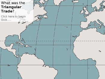
World Geography Triangular Trade Interactive PowerPoint
Step into the complex world of global trade routes with our immersive "World Geography Triangular Trade Interactive PowerPoint." Tailored for students and educators, this dynamic resource offers a captivating exploration of the Triangular Trade network that shaped the economies and societies of the Atlantic world during the Age of Exploration.Key Features:Visual Exploration: Immerse yourself in the visual representation of the Triangular Trade network through interactive maps. Trace the routes o
Grades:
6th - 10th
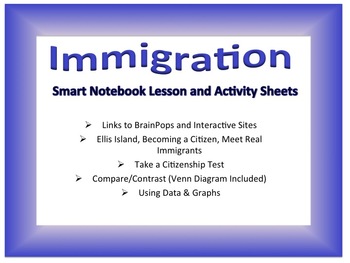
Immigration Notebook With Activities
This is a .zip file containing 3 files:
1- Immigration Smart notebook presentation (6 slides: basic information, meet immigrants, compare immigration, etc.)
2- Citizenship test (goes directly with a slide from the presentation)
3- Venn Diagram comparing moving to another country and state (also corresponds with presentation)
Grades:
1st - 7th

WWI Military Weapons Ranking Tournament Bracket
This March Madness style bracket powerpoint will help students learn about the different war technologies that characterized WWI. Students will see the pros and cons of each weapon, and then be able to break into groups to be able to argue for their selected weapon and rebuttal against the weapon they are going up against until their weapon is the only one remaining victor on the tournament bracket. The technologies include... rifles, machine guns, flame throwers, mortars, poison gas, tanks, pla
Grades:
7th - 12th
Who Am I? A World History Review Game
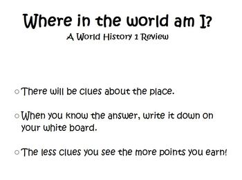
In this end-of-year review flipchart, students are provided with clues about different civilization they have studied in my World History 1 class. To reveal the clues, move the shapes to the side. When the student decides which civilization, they write it on their whiteboard. The less clues that are revealed, the more points they earn.
Developed in a special education classroom for students with language delays and is written as such.
Civilizations reviewed: Ancient Egypt, Mali/Ghana/Songhai
Grades:
3rd - 9th
Asia Interactive World Geography Game & Map Quiz
The Asia Interactive Map Quiz Game is the absolute coolest way to learn Geography both in and out of the classroom! No Prep required, simple and easy to use, just open up the Interactive Map Quiz Game in one of the x4 included Formats (PowerPoint / Google Slides / Keynote / PDF) and let the learning begin! Each Map Quiz includes x146 slides for ALL x48 countries in Asia! Maps are engagingly themed to spark students interest, work great for fun class wide review games or individual practice of ge
Grades:
4th - 10th
Also included in: Entire World Interactive World Geography Game & Map Quiz ~ MEGA BUNDLE!

Israel PowerPoint lesson
This 28 slide PowerPoint covers many facets of Israel life and history including: location, landforms, communities, holidays, and festivals. Students will love the Vibrant photographs and has many custom animations.
By PowerPoint Maniac
******************************************************
Check out my other Social Studies Products!
Underground Railroad Activity
Australia Map and Timeline lesson
China and Chinese New Year unit
Community studies and Primary sources
Erie Canal Webquest
Ma
Grades:
3rd - 7th
Interactive Imperialism in Africa Mapping
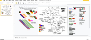
This would work awesome on an interactive whiteboard, or has been made to adapting to this hybrid virtual teaching world. Students can label a map showing the different colonies in Africa during the Age of Imperialism 10.4 and the Berlin Conference.
Subjects:
Grades:
7th - 11th
Ancient Egypt Digital Bundle (Jamboard KWLs, Digital Art, Digital Breakout)
You get THREE awesome products to go with your ANCIENT EGYPT unit in this digital bundle!Jamboard KWL Charts:Looking for an innovative way to do a KWL chart in Google Classroom? Get kids excited to learn about ANCIENT EGYPT with this Jamboard resource. This product gets you both a class version that can be accomplished in a whole group setting and a student version that can be assigned so that each student can complete their own! Google Drawings Activities: Looking for a technology project on A
Subjects:
Grades:
4th - 7th
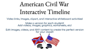
Civil War - Google Slides - Interactive Timeline
This google slide WEBQUEST / Interactive Timeline is PERFECT for any style classroom* distance learning* live classroomThe Civil War is a very important, intertwined time of differences, political intervention, and a massive change within the United States of America! With this timeline students will use different websites to locate their answers to the questions already labeled for you that involve all those topics and your students will love the videos and interactive links within this content
Grades:
7th - 12th
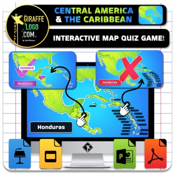
Central America & The Caribbean Interactive World Geography Game & Map Quiz
The Central America & Caribbean Interactive Map Quiz Game is the absolute coolest way to learn Geography both in and out of the classroom! No Prep required, simple and easy to use, just open up the Interactive Map Quiz Game in one of the x4 included Formats (PowerPoint / Google Slides / Keynote / PDF) and let the learning begin! Each Map Quiz includes x98 slides for ALL x32 countries in Central America & The Caribbean! Maps are engagingly themed to spark students interest, work great for
Grades:
4th - 10th
Also included in: Entire World Interactive World Geography Game & Map Quiz ~ MEGA BUNDLE!
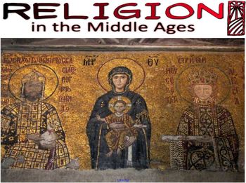
Religion in the Middle Ages Smartboard Presentation
Contains a smartboard presentation covering Religion during the Middle Ages. Also includes a guided note sheet for students to following along with presentation.
Topics covered include:
--the Catholic Church, its functions, and its hierarchy
--the knight's code of chivalry
--Christianity and Jesus of Nazareth
--powers of the Catholic Church (sacraments, excommunication, etc.)
--the spread of Islam and the Arab Empire
--the life of Muhammad
--the teachings of Islam
--religious conflict between C
Grades:
7th - 12th, Higher Education, Adult Education, Staff

Shogun Japan - GALLERY WALK ACTIVITY - Image Analysis - NO PREP!
This engaging lesson is perfect for both the introduction or revision of a Shogun Japan unit! Feature 10 highly interesting images, both primary and secondary sources, students are able to develop their image analysis skills by recording their Observation, Interpretation, and Questions on the included worksheet. These worksheets are big enough to be printed and used as individual or group work, but can also be distributed and edited digitally in student online workbooks. I've found my students l
Grades:
5th - 10th
Also included in: Feudal Japan - Shogun Japan WHOLE UNIT - High Value Bundle!

South America Interactive World Geography Game & Map Quiz
The South America Interactive Map Quiz Game is the absolute coolest way to learn Geography both in and out of the classroom! No Prep required, simple and easy to use, just open up the Interactive Map Quiz Game in one of the x4 included Formats (PowerPoint / Google Slides / Keynote / PDF) and let the learning begin! Each Map Quiz includes x47 slides for ALL x15 countries in South America! Maps are engagingly themed to spark students interest, work great for fun class wide review games or individu
Grades:
4th - 10th
Also included in: Entire World Interactive World Geography Game & Map Quiz ~ MEGA BUNDLE!
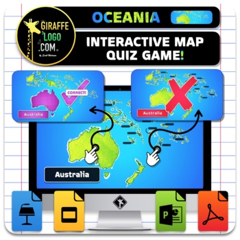
Oceania Interactive World Geography Game & Map Quiz
The Oceania Interactive Map Quiz Game is the absolute coolest way to learn Geography both in and out of the classroom! No Prep required, simple and easy to use, just open up the Interactive Map Quiz Game in one of the x4 included Formats (PowerPoint / Google Slides / Keynote / PDF) and let the learning begin! Each Map Quiz includes x44 slides for ALL x14 countries in Oceania! Maps are engagingly themed to spark students interest, work great for fun class wide review games or individual practice
Grades:
4th - 10th
Also included in: Entire World Interactive World Geography Game & Map Quiz ~ MEGA BUNDLE!
Showing 1-24 of 137 results


