842 results
Geography activboard activities for GATE
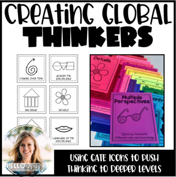
Creating Global Thinkers with Depth and Complexity Icons
Do you want your students learning globally, using higher level thinking, and learning geography... all in twenty minutes a day? I did too so I created this easy way to challenge your students from the moment they walk in the door.This product is easy to print and can be seamlessly implemented into your morning routine. It is recommended that you use the icons of depth and complexity (included) to push and extend student thinking.Included in this product:-Explanation, sample lesson plan, real
Subjects:
Grades:
3rd - 6th
Types:
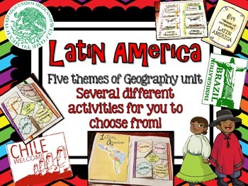
Latin America (Mexico, Central/South America) Geography Research Unit
This Latin America unit includes:
Several different activities/project layouts for you to chose from or use all! :)
As you teach about the geography of Latin America and all the countries in it, use these in their interactive notebooks!
Perfect for students to research and discover information about all of Latin America or just a country there on their own!
GREAT mini research project for GT students or early finishers to work on!
Grades:
2nd - 8th
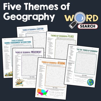
5 Themes of Geography, Terms Word Search Puzzle Activity Bundle Worksheets
This word search puzzle worksheet is perfect if you need something to keep your students occupied. This worksheet will help your students learn more and improve their vocabulary.After searching for the words, your students should be able to solve the secret message by filling out the blanks with the unused letters. The words are hidden in various directions - horizontally across or backward, vertically up or down, diagonally up, down or backward. Some words will also overlap or intersect, which
Grades:
4th - 7th
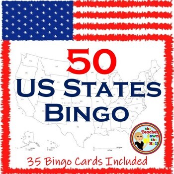
US Bingo I Know the 50 States Group Activity w/ 35 Bingo Cards!
Need a fun way to review the 50 States? Print the Bingo Cards, and show the slides!! Students will see: the shape of each state, where it is located in the US, its state flag, and its state motto.Their job is to identify it and cover it on their Bingo Cards! A great review and there are enough slides to play at least twice. Then play a game where students race each other to identify the states. Both games are great reviews of our US states! **************************************************
Grades:
4th - 7th
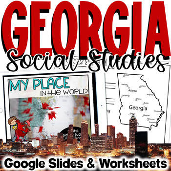
Georgia Social Studies | Me on the Map | City, County, State, Country, Continent
My Place on the Map - lessons for identifying and locating city, county, state, country, and continent - This geography unit is an interactive Google Slides Presentation (76 slides) with 18 accompanying B&W printable worksheet activities.This product is ideal for the early grades. This product includes an interactive Google Slides file that requires no extra materials for students to complete, though I have included black & white printable worksheets to go along with the slides. I plan t
Subjects:
Grades:
K - 3rd
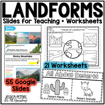
Landforms | Mountains Valleys Deserts Coasts Activities, Slides & Worksheets
Landforms Activities including Flip Books, Google Slides lessons, and worksheets to learn Mountains, Valleys, Deserts, and Coasts - This is an interactive Google Slides Lesson (55 slides) with 21 accompanying B&W printable worksheet activities. Google Slides include the following:14 slides to teach Mountains8 slides to teach Valleys13 slides to teach Deserts15 slides to teach CoastsGraphic Organizer to Show All LandformsThis product includes a Google Slides file that can be used for teaching
Subjects:
Grades:
K - 2nd
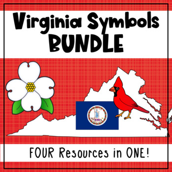
Virginia State Symbols Bundle - Cardinal, Dogwood, Capitol, Flag (SOL 1.12)
Teach your first grade students about Virginia's state symbols: the Virginia capitol building, dogwood (state flower), cardinal (state bird), and the Virginia state flag! This bundle includes printable posters with images and vocabulary, fill-in-the-blank activities, student books, a graphing activity, and an I Spy interactive board activity. 1.12 The student will recognize the symbols and traditional practices that honor the Commonwealth of Virginia by a. identifying the Virginia flag, sta
Grades:
1st
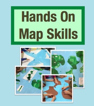
Hands On Map Skills: Cross Curricular Project to Teach Map Skills (Grades 2-4)
Tired of using worksheets to teach map skills? I used worksheets for years but something didn't feel right. I knew my students weren't learning map skills deeply when I was teaching this way. That was when the Hands on Map Skills project was born!
This is a social studies project that has cross-curricular connections to reading and math. In this project students use real maps to study their important features, all while refining their map skills. Then they get the chance to put all of this kno
Grades:
2nd - 4th

Travel Agent Research Project | No Prep | Digital & Printable
This open-ended research project turns students into travel agents as they plan a trip! They will conduct research and select a destination, then use the internet to figure out flights, hotels, activities, and more! Students will also use addition, and maybe a bit of multiplication, to determine the total cost of their trip!This Resource Includes:Digital PowerPoint VersionDigital Google Slides VersionPrintable Black & White PDF VersionCompleted in 6 Steps!1. Location Research2. Select a Loca
Subjects:
Grades:
4th - 6th
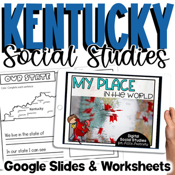
Kentucky Social Studies | Me On the Map |City, County, State, Country, Continent
My Place on the Map - lessons for identifying and locating city, county, state, country, and continent - This is an interactive Google Slides Presentation (76 slides) with 18 accompanying B&W printable worksheet activities.This product is ideal for the early grades. This product includes an interactive Google Slides file that requires no extra materials for students to complete, though I have included black & white printable worksheets to go along with the slides. I plan to teach these l
Subjects:
Grades:
K - 3rd
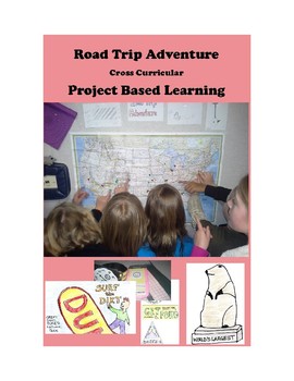
Road Trip Adventure PROJECT BASED LEARNING for GATE and 3rd - 8th Grades
Come along on a fun project-based adventure as students practice different forms of writing, geography skills, computer and internet technology skills, engineering and design skills, math skills, public speaking, creativity, and art.
Here is your Gold Medal Standard project based learning unit ready to go. Because this project-based unit relies heavily on student creativity and invention, the key knowledge, understanding, and success skills can be scaffolded across many grade levels. This un
Grades:
3rd - 8th
Types:
Also included in: SIMULATIONS Real-World Projects GATE Bundle Gifted
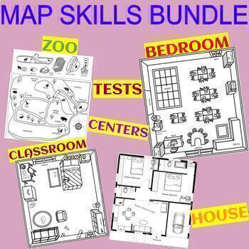
MAP SKILLS BUNDLE - CLASSROOM, BEDROOM, HOUSE, ZOO, TEST, AND CENTER
These are engaging and fun projects to teach basic mapping skills. The students learn how to use a compass, place objects using the four cardinal directions, and follow multi-step directions. Describe the location of objects relative to other locations in the classroom. (Over, near, far, left, right, north, south, east, west).- Students create an interactive house map placing pictures of the house furniture on the assigned spots. Or/and they create their own house!- Blank map for your own additi
Subjects:
Grades:
1st - 4th
Types:
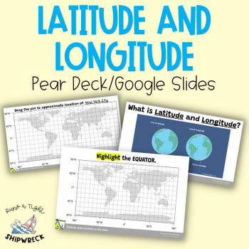
Latitude and Longitude Map Geography Skills Google Slides Pear Deck
Improve your students' map skills with these interactive and engaging Pear Deck slides! Teach your students how to identify lines of latitude and longitude, the Equator, and the Prime Meridian with ease. These slides are a great addition to your geography lesson plans, and can be used as a formative assessment or review activity. The slides come with a brief video tutorial to explain these concepts, followed by an activity where students will pin and label locations on a map using either Google
Grades:
6th - 8th
Types:
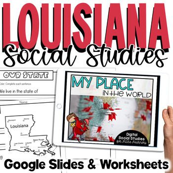
Louisiana Social Studies | Me On the Map | City, Parish, State, Country, Cont
My Place on the Map - lessons for identifying and locating city, parish, state, country, and continent - This is an interactive Google Slides Presentation (76 slides) with 18 accompanying B&W printable worksheet activities.This product is ideal for the early grades. This product includes an interactive Google Slides file that requires no extra materials for students to complete, though I have included black & white printable worksheets to go along with the slides. I plan to teach these l
Subjects:
Grades:
K - 3rd
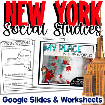
New York Social Studies | Me On the Map |City, County, State, Country, Continent
My Place on the Map - lessons for identifying and locating city, county, state, country, and continent - This is an interactive Google Slides Presentation (76 slides) with 18 accompanying B&W printable worksheet activities.This product is ideal for the early grades. This product includes an interactive Google Slides file that requires no extra materials for students to complete, though I have included black & white printable worksheets to go along with the slides. I plan to teach these l
Subjects:
Grades:
K - 3rd
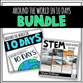
BUNDLE Around the World in 10 Days {STEM & Target Book}
Looking for an engaging way to teach geography and letter writing? Go cross-curricular and teach both simultaneously! Students start by 'Packing up their questions' about geography by creating an anchor chart with their teacher. Then model letter writing skills and off you go! Spend one day in each of the continents and complete a STEM Challenge! On the last day of your travels create a world map to document your experience!
This product is a BUNDLE, which is at a discounted price! These are th
Subjects:
Grades:
1st - 4th
Types:
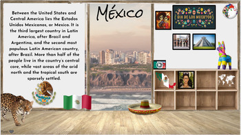
Hispanic Heritage Month~ Virtual Field Trip to Spanish Speaking Countries
I have collected a comprehensive collection of resources, activities, and read alouds intended to celebrate Hispanic Heritage through virtual field trip to each country. These animated Google Slides are great for online, in-person class learning and/or communication. This is an awesome way to keep your audience engaged and allows students of all levels to access. Also a great resource to share with parents to encourage/engage students in reading at home. Currently there are over 50+ resources li
Grades:
PreK - 5th
Types:
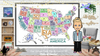
Travel the 50 States: Resources & Activities
This is United States Resource is a visually appealing, highly engaging, and completely editable resource with everything needed to research and study each of the 50 states. All videos are youtube.embeded or video.link so they are safe for students to access independently. This interactive google slide show can be used as a school resource, guided or independent learning or shared with parents to encourage/engage students learning at home. Best of all, this resource will continue to grow as I a
Subjects:
Grades:
K - 5th
Types:
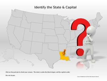
50 States & Capitals Interactive Power Point
Students can practice their 50 states and capitals, locations and abbreviations in this interactive Power Point. If the student does not know the state, they can click to reveal the abbreviation of the state for a second guess.This would be great for a whole class game, small group, or individual practice.
Grades:
4th - 7th
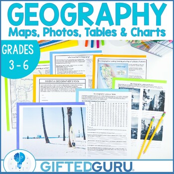
Geography Activities Geographer's Tools Upper Elementary Social Studies
Looking for an engaging upper-elementary geography lesson? This resource is chock-full of activities you can use to teach the geographer's tools of maps, tables, photographs, and charts! You'll get four activities that explore the different tools geographers use to organize geographic information. You'll love the quality graphics and original articles. Your students will love how interesting geography can be!You'll get four low-prep activities that can be used together or individually. Each acti
Subjects:
Grades:
3rd - 6th
Types:
Also included in: Geography Lessons and Activities | Critical and Creative Thinking BUNDLE
Middle School Geography Timeline Map Skills Interactive Google Slides Pear Deck
Introduce your students to essential social studies skills with this interactive and engaging Pear Deck lesson on Geography, Timelines, and Primary and Secondary Sources! This Google Slides presentation includes mixed-level questions to guide instruction, and students will practice important ELA skills such as identifying and applying domain-specific vocabulary, composing clear written responses, and other writing and reading comprehension skills. This lesson is perfect for whole group instructi
Grades:
6th - 8th
Types:
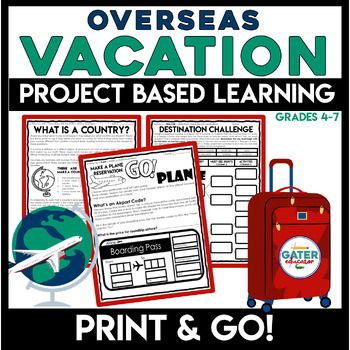
Life Skills | Plan a Vacation PBL | Project Based Learning
This PROJECT-BASED LEARNING resource is a great way to have students use real-life reading and writing skills as they plan their own overseas vacation.In this unit, students will have the opportunity to plan a trip and persuade others to join along and make memories with them!This is an easy and enriching End of Year Project. Grab basic materials, PRINT, and GO!What's the challenge? Students must find and research a foreign city to travel to. The exciting twist is that the city must start with t
Subjects:
Grades:
4th - 7th
Types:
Also included in: Project Based Learning | Design Process | Life Skills Travel Planning
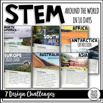
STEM Around the World in 10 Days
This product is included in a bundle with an Around the World in 10 Days Travel Journal. Check it out HERE!
Looking for an engaging way to teach geography? Why not have students solve a STEM challenge that relates to each continent? There is STEM challenge for each of the 7 continents in this product.
This product includes:
•STEM Challenge Background information pages
•STEM Challenge Problem pages
•STEM Challenge Criteria & Materials pages
•Student STEM journal pages (Includes background i
Subjects:
Grades:
1st - 4th
Types:
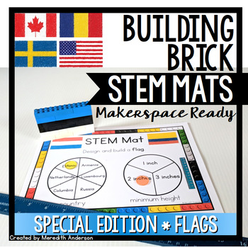
Flags of the World STEM Mats - STEM Center for Building Bricks Distance Learning
If you are looking for a STEM and geography resource, or are celebrating any international sporting events, this is a great set to add to your toolbox!STEM Mats are SO easy to set up in your classroom! If you were thinking of trying STEM Fridays or Maker Mondays, or you need something more engaging for your early finishers than worksheets or reading, this is the resource for you. Not only will your students be working creatively to solve problems, they will be reading, writing, and using math sk
Subjects:
Grades:
1st - 5th
Also included in: STEM Activities and Challenges for K-2 - Whole Year Bundle
Showing 1-24 of 842 results


