21,000+ results
Not grade specific geography resources under $5
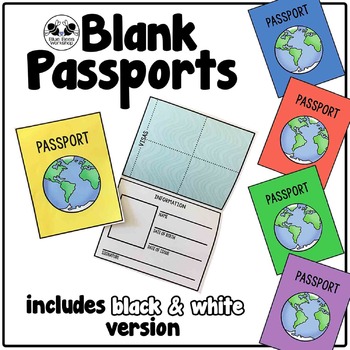
Blank Passport Template
Your students can travel around the world (or the classroom!) with these blank passports. Each passport template prints on one page and is folded to create a booklet with a cover, information page, visa / stamp page, and backing.
♢ Generic, non-country specific
♢ 5 cover colors: yellow, blue, rust, green, purple
♢ Black & white version included
♢ PDF format
You might also like:
Classroom Passport Stamps
Case File Stamps
Thank you for stopping by my store! I appreciate all comments and
Subjects:
Grades:
Not Grade Specific
Types:
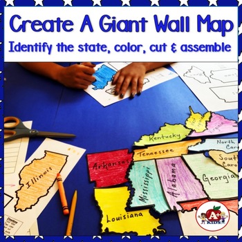
Giant Map of the United States Puzzle After State Testing Activities
Students use this engaging puzzle activity to create a giant United States map. Give your students a fun, engaging hands-on experience to become more familiar with America's 50 states and how they fit together.Students need to identify unlabeled state puzzle pieces by observing their shapes and then arranging them to construct a large US map. An index is provided to limit choices to only a few. The completed map is approximately 28" x 42".**The video (above) was created using the pieces for th
Subjects:
Grades:
Not Grade Specific
Types:
Also included in: The Bundle of America's 50 Great States
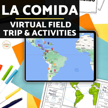
La Comida Explore Food in Spanish-Speaking Countries Virtual Field Trip ENGLISH
Need Spanish 1 sub plans or an activity for your Spanish food unit? This virtual field trip is great for your novice and exploratory Spanish classes to explore Spanish culture and food!The readings are in English and explore a variety of countries and foods. Each reading includes the food's name, and some background . The videos linked are a mix of Spanish and English. Great for novices or introducing your students to a variety of foods in the Spanish-speaking world!Please click here to save 20%
Subjects:
Grades:
Not Grade Specific
Types:
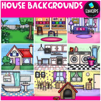
House Backgrounds Clip Art Set {Educlips Clipart}
Get creative with these colorful pictures of rooms in a house. Add people and/or other images to make them come to life! The set includes a living room, dining room, kitchen, bathroom, bedroom, laundry room, front of house, back yard, playroom and a dog house. This set contains all of the images shown.20 images (10 in color and the same 10 in B&W)Images saved at 300dpi in PNG files.For personal or commercial use.Download preview for TOU.©Educlips 2014Follow Educlips on FacebookFollow Educlip
Grades:
Not Grade Specific
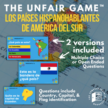
The Unfair Game in Spanish: Spanish Speaking Countries of South America
The game your students will love to hate! This ready-to-play game consists of 25 questions embedded in an interactive Slides presentation featuring questions about the Spanish speaking countries of South America: identifying them by location on the continent, naming their capital city, and identifying their flag.Learn more about The Unfair Game here!TWO versions of the game are provided: one with open-ended questions and one with multiple-choice questions. Use the open-ended questions to review
Subjects:
Grades:
Not Grade Specific
Types:
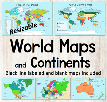
World Map and Continents Maps - World Biomes Map - USA Map - Color and Blank
This is a set of clear colored and black-line maps to use in your lesson preparation and teaching resources. Each of the twelve maps is provided in three versions1. Labeled color2. Labeled black -line3. Blank black-line The maps are orientated as rectangular landscape pages in easy to use PNG files. They feature the land on a blue water background. The images can be inserted into your documents and resized or clipped to focus on certain areas. The maps will remain clear when pulled out to 40
Subjects:
Grades:
Not Grade Specific
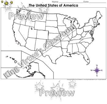
The United States of America Map - Blank - Full Page - King Virtue's Classroom
The United States of America Map - State Lines - Blank - Full Page - King Virtue's ClassroomWorking on your unit on Map Skills? This map is the perfect resource for you! Use it to review The United States of America with your students.This set includes:1 map sheetEnjoy!:)Copyright © King Virtue’s Classroom • www.kingvirtuesclassroom.com • All rights reserved.
Grades:
Not Grade Specific
Types:
Also included in: Social Studies MegaBundle - King Virtue's Classroom
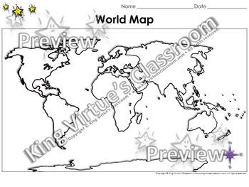
World Map: Continents and Oceans - Blank - Full Page - King Virtue's Classroom
World Map: Continents and Oceans - Blank - Full Page - King Virtue's ClassroomWorking on your unit on Map Skills? This map is the perfect resource for you! Use it to review the 7 continents and 5 oceans with your students.This set includes:1 map sheetEnjoy!:)Copyright © King Virtue’s Classroom • www.kingvirtuesclassroom.com • All rights reserved.
Grades:
Not Grade Specific
Types:
Also included in: Social Studies MegaBundle - King Virtue's Classroom
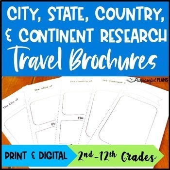
EDITABLE City, State, & Country Travel Brochure Templates Research Project
Get your students excited about social studies research projects with these fun, engaging, and editable travel brochures, rubrics, & checklists templates! There are time-saving trifold research travel brochures, rubrics, & checklists templates available to customize. Students will build research & writing skills by working to create an easy-to-use city, state, country, or continent travel brochure. There is a customizable checklist (self eval & peer edit) and rubric for each of t
Grades:
Not Grade Specific
Types:
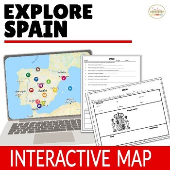
Virtual Field Trip to Spain Spanish Lesson Plans for Spanish Culture in ENGLISH
Let your students explore geography around the world! Content is discovered via an interactive Google Map through images, short readings, and videos! Time saver for you and engaging for students!❁ Click here to save 20% on a bundle of similar resources!! ❁Content, questions, and graphic organizer are in ENGLISH and explore geography and culture to help them learn about the beautiful country of Spain! INCLUDED:Map in EnglishWorksheet and Graphic Organizer in EnglishStudent pages in Google Slide
Subjects:
Grades:
Not Grade Specific
Types:
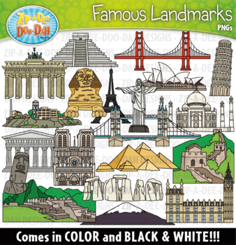
Around The World Famous Landmarks Clipart Set {Zip-A-Dee-Doo-Dah Designs}
Travel around the world to discover famous landmarks from your very own resources. This collection of famous landmarks will be perfect for any history or geography. Landmarks include Alcatraz, Big Ben, Brandenburg Gate, Chichen Itza, Christ the Redeemer, Eiffel Tower, Golden Gate Bridge, Great Wall of China, Leaning Tower of Pisa, Machu Picchu, Mount Fuji, Notre Dame Cathedral, Parthenon, Pyramids of Egypt, Sphinx, Statue of Easter Island, Stonehenge, Sydney Opera House, Taj Mahal, and Tower Bri
Grades:
Not Grade Specific
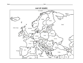
MAP OF EUROPE PRINTABLE COLORING PAGE WITH COUNTRIES
This black and white printable map of Europe includes all 51 countries. Print and Go! Great for reference or to print and color and learn. List of countries included: Albania, Andorra, Armenia, Austria, Azerbaijan, Belarus, Belgium, Bosnia and Herzegovina, Bulgaria, Croatia, Cyprus, Czech Republic, Denmark, Estonia, Finland, France, Georgia, Germany, Greece, Hungary,, Iceland, Ireland, Italy, Kazakhstan, Kosovo, Latvia, Lithuania, Luxembourg, Macedonia, Malta, Moldova, Monaco, Montenegro, Nethe
Subjects:
Grades:
Not Grade Specific
Types:
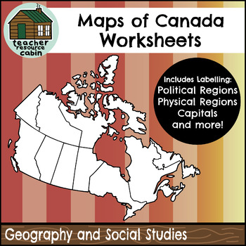
Political and Physical Map of Canada for Students to Label and Colour (10 Maps)
This resource contains 10 worksheets of maps of Canada to support students as they learn to identify and locate all of the provinces, territories, physical regions, and capitals of Canada. This resource is made for 8.5"x11" paper, but could be resized using printer settings to accommodate larger paper. This product contains an ANSWER KEY.Map Worksheets Included:Political map of Canada (Provinces/Territories) with no title and blank legend template.Political map of Canada (Provinces/Territories)
Grades:
Not Grade Specific
Types:
Also included in: Grade 4 Ontario Social Studies Workbook Bundle
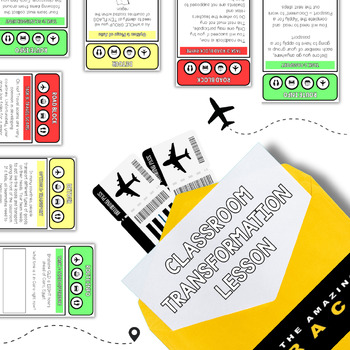
The Amazing Race - Editable Template
This editable template could be used to facilitate a transformation challenge-based lesson across any grade or faculty area. It includes:Facilitation PPTTeacher instructionsTask cardsEnvelope covers. The example slide has been specifically designed for a Year 10 Geography lesson on Factors Influencing Tourism.
Grades:
Not Grade Specific
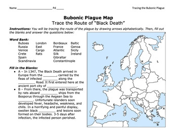
Bubonic Plague "Trace the Black Death" Map Activity 2.0 / Medieval Europe
This is a fantastic map activity to teach students characteristics of the Black Death as well as the routes along the Silk Route and sea trade routes that the Plague travelled along. Like "connect the dots," students will fill out a map, trace the plague, and answer essential questions. A key is provided.CLICK HERE for a primary source assignment on the Bubonic Plague.©Founding Fathers USA. All rights reserved by Founding Fathers USA. This product is to be used by the original downloader only. A
Subjects:
Grades:
Not Grade Specific
Types:
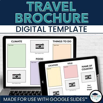
Travel Brochure Digital Research & Vacation Writing Template - Google Slides™
Design eye-catching digital travel brochures with your students to showcase country, city or location research! This editable, two-sided template for Google Slides™ makes it easy to add informational text and photographs. Heading ideas are included to guide student research. Simply share the template through Google Drive or Google Classroom, complete and print double-sided. Looking for more? Check out the bundle! ⭐ Travel Writing Digital Templates: Brochure, Planner, Journal - Google Slides™What
Grades:
Not Grade Specific
Types:
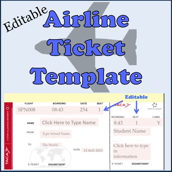
Airline Plane Ticket Template
Print your very own boarding pass / plane tickets for your students. This editable template includes an English version and a Spanish version.Enter your class information in the form of an airline ticket. Great for a geography or travel unit in elementary classes or for foreign language classes in high school teaching about culture. Customize it for your own needs as it is editable! Check out the reviews to see how other teachers have used it -- and loved it!Need a digital template? Check out ou
Subjects:
Grades:
Not Grade Specific
Types:
Also included in: Spanish Travel Pack Bundle
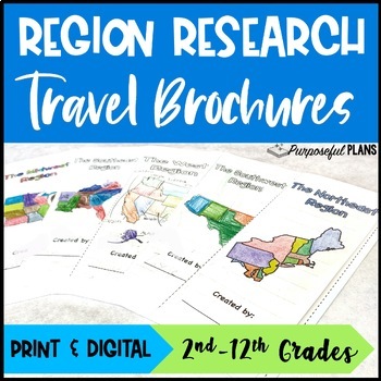
U.S. 5 Regions Research Travel Brochure Project - Digital & Print Templates
Get your students excited about social studies research projects with these fun and engaging travel brochures, rubrics, & checklists templates! There are time-saving U.S. regions research travel brochures, rubrics, & checklists templates. Students will build research & writing skills by working to create an easy-to-use trifold travel brochure. There is a customizable checklist (self eval & peer edit) and rubric for each of the 5 regions travel brochure templates. Have your studen
Grades:
Not Grade Specific
Types:
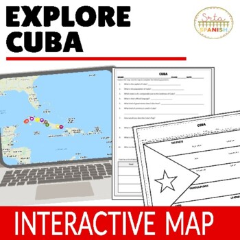
Cuba Virtual Field Trip Digital Map Activities ENGLISH ONLY
Let your students explore geography around the world! Content is discovered via an interactive Google Map through images, short readings, and videos! Time saver for you and engaging for students!Content, questions, and graphic organizer are in ENGLISH and explore geography and culture to help them learn about the beautiful country of CUBA! ❁ Click here to save 20% in a bundle! ❁INCLUDED:Map in EnglishWorksheet and Graphic Organizer in EnglishStudent pages in Google SlidesTeacher's NotesAnswer
Subjects:
Grades:
Not Grade Specific
Types:
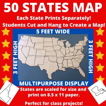
Large Printable United States Wall Map with State Names
Print the 50 states individually and assemble to create a bulletin board sized map of the United States perfect for class projects in a variety of subject areas! Who doesn't need a customizable U.S. map in their classroom?The completed map measures approximately 5 feet by 3 feet and includes blank outlines of the fifty states, each containing only the state name. States are scaled for size so that they can be neatly assembled into a large map.Ideas for Use:*Students researching the 50 states c
Subjects:
Grades:
Not Grade Specific
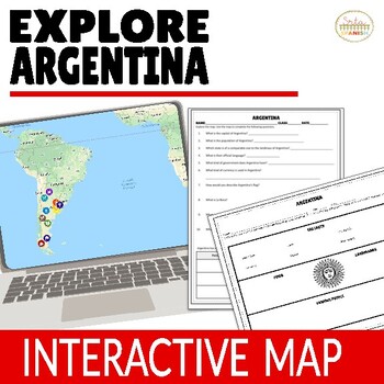
Argentina Virtual Field Trip Digital Map Activities ENGLISH ONLY
Let your students explore geography around the world! Content is discovered via an interactive Google Map through images, short readings, and videos! Time saver for you and engaging for students!❁ Click here to save 20% on a bundle of similar resources!! ❁Content, questions, and graphic organizer are in ENGLISH and explore geography and culture to help them learn about the beautiful country of Argentina! Students read, watch, and explore using the Google Map, then record information on the gr
Subjects:
Grades:
Not Grade Specific
Types:
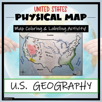
US Physical Map Activity- Label and Color US Physical Features!
This US Geography Map Activity is a MUST for students who are learning about the physical features of the United States! Students will identify, label, and color important geographic elements throughout the country. Directions for labeling and coloring is provided. A completed and colored map is provided for reference, but this map can be completed using a textbook or online resource as well. This is a creative and engaging way of supplementing lessons on geography, topography, and the history
Grades:
Not Grade Specific
Types:
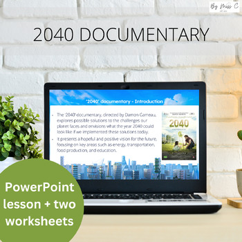
2040 Documentary Sustainability Lesson with Viewing Worksheets and Activities
This exciting resource will engage your students and get them thinking about the world we currently live in, and the what the world could look like in a sustainable future. The documentary addresses climate change and follows a father travelling the world in search of answers to climate change, to show his four-year-old daughter what her life could look like in 2040, if the world implemented these sustainable practices. Included in this resource is a comprehensive pre-viewing PowerPoint presenta
Subjects:
Grades:
Not Grade Specific
Also included in: CLIMATE CHANGE BUNDLE | ANTHROPOGENIC CLIMATE CHANGE
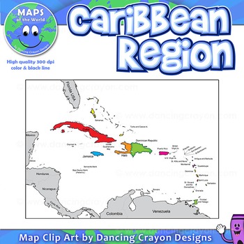
Map of the Caribbean Region
Map of the Caribbean Region
This is a map of the Caribbean region. This clipart map set contains the following commercial use graphics:
- Color map of the Caribbean region
- Black and white line art map of the Caribbean region
- Both of the above in a labelled and blank version
- Silhouette of the islands of the Caribbean
High quality images: 300 dpi. Images are an assortment of PNG and JPEG files.
You may use these map graphics for commercial use, including in your TpT produ
Grades:
Not Grade Specific
Also included in: Maps of the World Clip Art - MEGA-BUNDLE
Showing 1-24 of 21,000+ results


