2,016 results
7th grade geography resources for Easel Activities
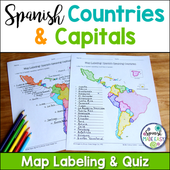
Spanish-Speaking Countries and Capitals Maps and Quiz
This is a map labeling activity and matching quiz over the 21 Spanish-speaking countries and capitals. Students will label and identify the 21 Spanish-speaking countries and capitals in Spanish. This is a great activity when reviewing Spanish-speaking countries and capitals or Spanish geography. Makes a great coloring page. Answer keys are included.
Countries included:
España, México, Costa Rica, El Salvador, Guatemala, Honduras, Nicaragua, Panamá, Cuba, La República Dominicana, Puerto Rico, Ar
Subjects:
Grades:
6th - 12th
Also included in: Spanish Countries and Capitals Geography Bundle
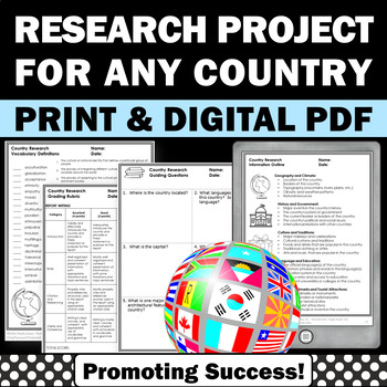
Country Research Projects Study Report Countries Around the World Research
Country Research Projects: This newly revised (July 2023) country study worksheet packet will help your 4th grade, 5th grade, and 6th grade social studies students conduct a country study research project for countries around the world. It not only includes country research graphic organizers and templates and for gathering information and conducting country research, but also guidance and skills for country report writing and giving a presentation. Grading rubrics, answer keys, differentiated a
Subjects:
Grades:
4th - 7th
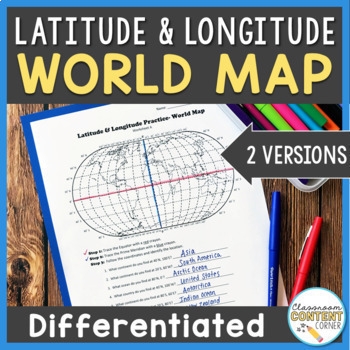
Latitude and Longitude Worksheet | Differentiated Activity | World Map
Do your students struggle with latitude and longitude? This resource will help make teaching this tricky skill a piece of cake! Students will follow latitude and longitude coordinates to identify continents and oceans on a world map, and this activity comes with 2 differentiated versions to meet your students' needs! Worksheet A has no labels, so students can practice identifying continents, oceans, and 2 (easily identifiable) countries as they follow the Latitude and Longitude coordinates! Work
Subjects:
Grades:
4th - 8th
Types:
Also included in: Latitude and Longitude ACTIVITY BUNDLE!
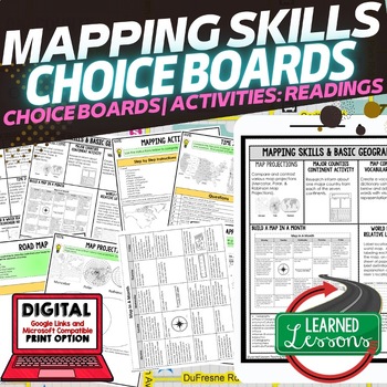
Geography Mapping Skills Activities, Geography Choice Board, Reading Passages
Mapping Skills and Basic Geography Choice Boards, Mapping Skills Readings Google Classroom, Print & Digital Learning provides differentiated activities to use with students to master the content. THIS IS ALSO PART OF SEVERAL BUNDLES World Geography MEGA BUNDLE AND World Geography Choice Board Activity BUNDLE AND Mapping Skills BUNDLE Choice Board Activities and Mapping Skills Readings Including the following: Mapping ActivityCartographerMap ScaleTypes of MapsTime ZonesRoad MapsLand and Wate
Grades:
7th - 12th
Types:
Latitude and Longitude Worksheet Activities for Practice and Review
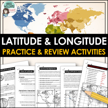
Do your students struggle with latitude and longitude? Use this resource to help your students learn the fundamentals of latitude and longitude and apply their knowledge to simple maps.This resource includes reference/note sheets on latitude and longitude, the important lines of latitude (Equator, Tropics, Arctic / Antarctic Circle), and longitude (Prime Meridian, Date Line), and how to find a location on Earth using coordinates. This package also includes five worksheets for students to apply
Subjects:
Grades:
6th - 8th
Types:
Also included in: Latitude and Longitude Bundle - Activities, Task Cards, & Posters
Latitude and Longitude Worksheets and Quizzes - U.S.A. Geography
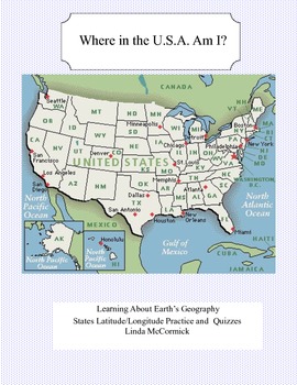
This collection of worksheets and a printable map provide excellent lessons for learning latitude and longitude. • This package contains 9 pages. • A printable map with the necessary information to answer the questions regarding latitude and longitude.• Includes practice and two quizzes in the “Where Am I” format•Answer KeyThis lesson is google classroom ready.Please e-mail me with any questions about this resource or suggestions for future resources at: ljmccormick33@yahoo.com. If you are diss
Subjects:
Grades:
5th - 9th
Types:
Also included in: U.S.A. Geography- Bundle
Spanish Country Profile Project
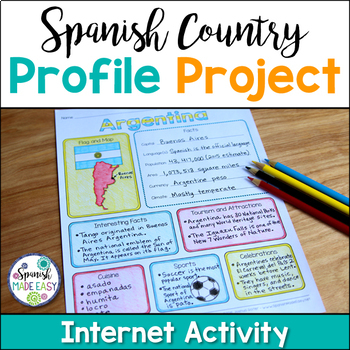
This is a country profile project over the 21 Spanish-speaking countries. Students will research important geographical and cultural facts about each country. This activity includes a blank country profile template, a template for each country, a list of Spanish-speaking countries, and a grading rubric in both English and Spanish. Research topics include: Countries flag, map, capital, language(s), population, area, currency, climate, interesting facts, tourism and attractions, cuisine, sports, a
Subjects:
Grades:
2nd - 12th
Types:
Also included in: Spanish Countries and Capitals Geography Bundle
Physical Patterns in a Changing World Workbook (Grade 7 Ontario Geography)
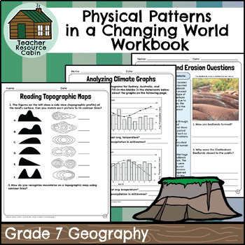
This workbook covers the Grade 7 Physical Patterns in a Changing World, unit in the Ontario Geography curriculum.In this workbook, students will explore a diverse array of geography topics, encompassing geography's definition and significance, mapping terminology, landform types and classification, and topographic map reading. They will learn about physical patterns related to water sources with case studies, climate regions and graph analysis, and climate change and its causes (including greenh
Subjects:
Grades:
7th
Also included in: MEGA BUNDLE: Grade 7 Ontario History and Geography Full Units
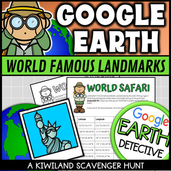
Google Earth World Famous Landmarks Scavenger Hunt 1 (Latitude and Longitude)
This Google Earth Scavenger Hunt activity is a fun and engaging way for your students to discover and explore world famous landmarks using Google Earth or other software. It provides a hands on approach to using latitude and longitude coordinates in Google Earth.Students are required to type the given coordinates into Google Earth to discover what famous landmark is at that location. Perfect for Planet Earth Day and Earth Science.This download includes:2 x Color Google Earth scavenger hunts.2 x
Grades:
3rd - 8th
Types:
Also included in: Google Earth Scavenger Hunt with Latitude and Longitude Fun Activities
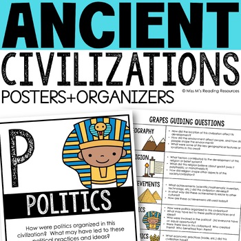
Ancient Civilizations GRAPES Posters Ancient Greece Ancient Rome Ancient China
Help your students learn and organize info about ancient civilizations with these G.R.A.P.E.S. posters, guiding questions, and graphic organizers! The GRAPES Ancient Civilizations Poster and Graphic Organizer Set is an easy acronym to organize information for the basic traits of ancient civilizations. G.R.A.P.E.S. is an acronym for:G- GeographyR- ReligionA- AchievementsP- PoliticsE- EconomicsS- Social StructureGRAPES is an effective way to learn and organize information about different civilizat
Grades:
6th - 8th
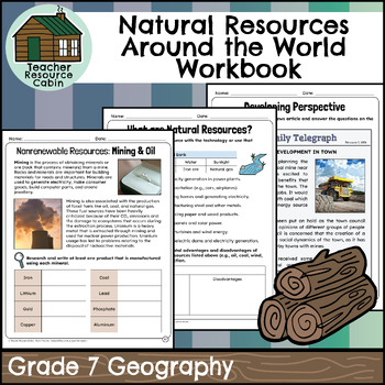
Natural Resources Around the World Workbook (Grade 7 Ontario Geography)
This workbook covers the Grade 7 Natural Resources Around the World: Use and Sustainability, unit in the Ontario Geography curriculum.In this workbook, students will learn about a wide range of topics related to natural resources and environmental sustainability. They'll start by understanding what resources are and then explore the classification of natural resources, including renewables like water and forests, as well as different logging methods. The workbook covers flow resources and examin
Subjects:
Grades:
7th
Also included in: MEGA BUNDLE: Grade 7 Ontario History and Geography Full Units
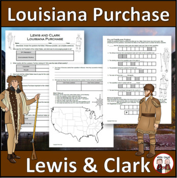
Louisiana Purchase - Lewis and Clark Expedition
Here is a fun and engaging activity about Lewis and Clark and the Louisiana Purchase. Your students will be answering comprehension questions about the famous expedition through the Louisiana Territory. They will be using their map skills to complete a map of the area at the time in the United States.The purpose of this activity is for students to show their understanding of the impact of Lewis and Clark's expedition through the Louisiana Territory and beyond.Here is what you'll get in this 3-pa
Grades:
5th - 8th
Types:
Australia Worksheet
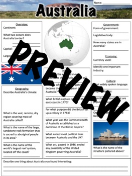
This Australia worksheet contains 25 questions and a short response for students to share something they found interesting about Australia. This worksheet was designed to go along with a presentation that can be found here: Australia, but it can also be used separately. A link to download a version formatted for Google Slides is also included.A similar, free worksheet on China can be found here: China Worksheet - FREERelated products:Oceania BundleOceania PresentationOceania WorksheetAntarctica
Grades:
5th - 8th
Types:
CCSS:
Also included in: Oceania Bundle
Time Zones
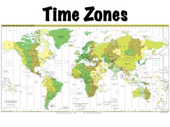
Time zones presentation: this is a lesson on time zones that I use with my students. Includes a simple 10 question worksheet on time zones in the United States and an optional, somewhat more challenging worksheet on world time zones, where students have to determine what time it is at locations around the world given the current time. Included in the presentation are:Definitions of time zones, the prime meridian, the international date line, and daylight savings timeThe history of time zonesHow
Subjects:
Grades:
4th - 7th
Also included in: Geography Introduction Bundle
Regions of Europe Centers Activity for European Geography or Culture Study
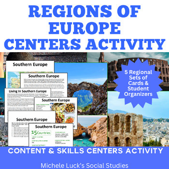
Introduce your students to the regions of Europe with this easy to prep Centers or Stations Activity. At each regional center, students will read geographic information on the region, view maps and discover physical features and statistics, view data from the region on cultural and human characteristics, and read current articles on the regions of Europe (using internet links provided in teacher directions). Included:Reading Cards on each RegionImage Cards on each RegionMap Cards on each Regi
Subjects:
Grades:
6th - 10th, Higher Education
Spanish Countries Geography Facts Internet Scavenger Hunt
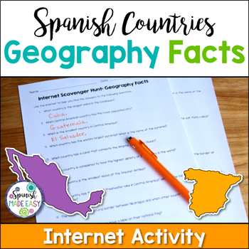
This is an internet scavenger hunt over geography facts of the Spanish-speaking world. This activity provides students with one geographical fact about each of the 21 Spanish-speaking countries. Students research each question online to find out which country is being described. The answers to this activity are the 21 Spanish-speaking countries. All the answers may be found online at www.wikipedia.org. Answer key is included.
Students may complete this activity using the internet in a computer
Subjects:
Grades:
6th - 12th
Types:
Also included in: Spanish Countries and Capitals Geography Bundle
Types of Maps Task Cards
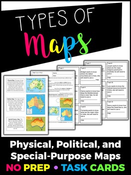
This product includes the following:- Teacher summary of each type of map- Cornell notes format of the types of map notes for students to record critical information- 12 Task cardsIMPORTANT: You will need Adobe Acrobat Reader in order to open and edit the file. You can download the software here.You are welcome to use this for classroom use, but this is not for commercial use. Click here to see more of my products!Thank you!Creative Classroom Activities :)Follow me on Instagram: creative.classro
Grades:
4th - 7th
Types:
South Asia Activities, Choice Board, Google Geography, Distance Learning
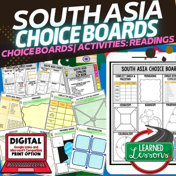
World Geography South Asia Choice Board Activities (Paper and Google Drive Versions), Digital Distance Learning & PrintSOUTH ASIA GEOGRAPHY Activities, CHOICE BOARD, World Geography Graphic Organizers, World Geography Digital Interactive Notebook, World Geography Summer School, World Geography Google Activities THIS IS ALSO PART OF SEVERAL BUNDLES World Geography MEGA BUNDLEWorld Geography Choice Board Activity BUNDLEIncluded: 2 Choice Boards18 Activities60 Activity Pages (B/W and color) Pap
Grades:
7th - 12th
Types:
Also included in: World Geography Activities, Readings, Choice Boards, Geography Bundle
Simple Topographic and Contour Maps Worksheet Mount St. Helens
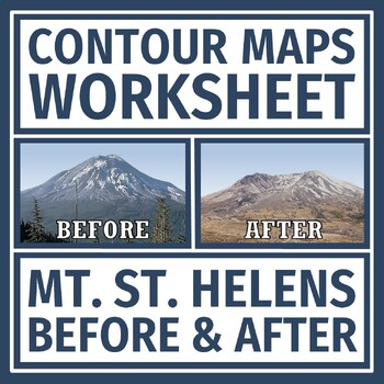
Earth's Changing Surface: Practice reading contour maps with a REAL LIFE volcano example! Supports NGSS Earth Science MS-ESS3-2 and MS-ESS2-2.In this activity, students are given a topographic map of Mt. St. Helens BEFORE and AFTER it erupted. Students analyze the maps for contour intervals, elevation, and how the volcano changed the topography of the mountain.This document has some companion resources:Mt. St. Helens Reading and QuestionsTopographic Maps Practice Contour Maps QuizTeacher Note
Grades:
6th - 8th
Types:
NGSS:
MS-ESS2-3
, MS-ESS3-2
, MS-ESS2-2
, MS-ESS2-1
Latitude and Longitude Worksheet | Major Cities Activity
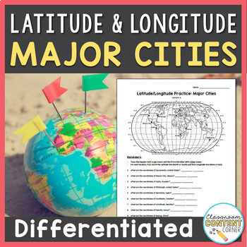
Students will record the latitude and longitude coordinates of 10 major world cities, as shown on a map. This activity comes with 2 differentiated versions to meet your students' needs! Version A: Students will record the latitude and longitude coordinates for 10 major world cities. Version B: Students will record the missing latitude or longitude coordinate for 10 major world cities. In this version, one coordinate is provided and students must record the missing part. This resource also includ
Subjects:
Grades:
5th - 8th
Types:
Also included in: Latitude and Longitude ACTIVITY BUNDLE!
Google Maps Activity Sheets ***UPDATED***
Activity Sheets for the Middle School students. Great fun solving problems using Google Maps(and Google Earth). Simple instructions but challenging activities.I have found that the students in my class need very little instruction to complete the tasks, so long as they understand the Google Maps tools.Google account is not required - just access to the Google Maps online.Table of Contents1. Creating a Travelling Distance Chart2. Solve the Riddle 3. A Different Type of Easter Egg 4. Fa
Subjects:
Grades:
5th - 7th
Types:
Also included in: Google Maps **VALUE BUNDLE**
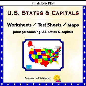
U.S. States & Capitals Maps, Worksheets, Assessments - U.S. Geography Practice
Teach the U.S. states and capitals easily with this set of U.S. maps, worksheets and assessments. This resource can be used independently or to supplement other U.S. states and geography curriculum. Perfect for both classroom and homeschool!Includes: Reference list of all the states with their capitalsBlack and white Map of the U.S. with states and capitals labeledBlank map of the U.S. for practiceColor map of the U.S. with states labeledPractice sheets to match the state with the capitalTest s
Grades:
4th - 7th
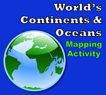
World Map - World's Continents & Oceans Mapping Activity
Map Activity – World’s Continents & OceansIn this activity, students must locate and identify the world’s continents and oceans. When students are finished with this, they may spend time coloring the various continents and oceans if so desired. This activity could also easily be used as an assessment piece as well (i.e. test, quiz, etc.) thus has multiple uses!Included in this package is a ready-to-copy blackline master world map along with a separate answer key.Preview file is available for
Subjects:
Grades:
3rd - 10th
Types:
Also included in: Map Activity Bundle
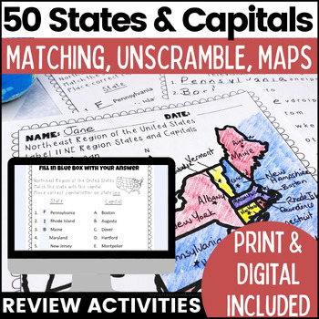
50 States and Capitals Worksheets | Print & Digital Resource
Help your students learn the 50 States and Capitals by region by matching states and capitals, unscrambling, and creating map worksheets. The 50 United States and Capitals Map Activities are print and go easy to use. Update: Digital version is now included! 7/22Click Here to View The United States and Capitals Geography Review Activities and Assessment Bundle (Save 40% when you buy as a bundle)Product includes:Northeast Region Matching States and CapitalsNortheast Region Unscramble States and Ca
Grades:
3rd - 8th
Types:
Also included in: 50 States and Capitals Bundle Map Print & Digital Resource 50% OFF
Showing 1-24 of 2,016 results


