54 results
Kindergarten Hispanic Heritage Month geography resources for SMART Notebook
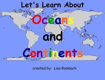
Oceans & Continents Social Studies SmartBoard Lesson Primary Grades
This lesson follows my lesson on THE GLOBE. Your students will learn about the continents and oceans through interactive pages (click and reveal), website links, video link and a printable book for students to color / write in and keep. A teacher's notes page is included describing how to use the lesson. Have fun learning about the world with this fun SmartBoard Lesson! Lisa Rombach(This is a .notebook file and requires Notebook software to open.)Some other social studies smartboard lessons
Subjects:
Grades:
K - 2nd

Urban, Rural and Suburban Jeopardy Game
This Jeopardy Game features 5 questions for each of its 4 catoegories- Urban Communities, Rural Communities, Suburban Communities and Communities in general.
Once students have learned about each of these communities, they can have fun testing their knowledge by answering these questions on this interactive SmartBoard Game. Students can come up to the SmartBoard and click on the question that they would like to answer. Questions get more challenging as you go from $100 to $500.
There are 2
Subjects:
Grades:
K - 5th
Texas Symbols & Jose Antonio Navarro, Houston, Austin - SMARTboard
It's Texas Y'all - SMARTboard Learning Made FUN!!!
Everything you need to teach your kids about Texas on the Smartboard!
This in depth 35 page package includes a variety of slides to suit your students' ability levels. With both highly educational AND fun activities included, you will have everything you need to complete your Texas unit - and best of all - you get to just store the file on your computer for next year rather than trying to keep up with all of the paperwork!
CHECK OUT THE PREVIE
Grades:
PreK - 5th
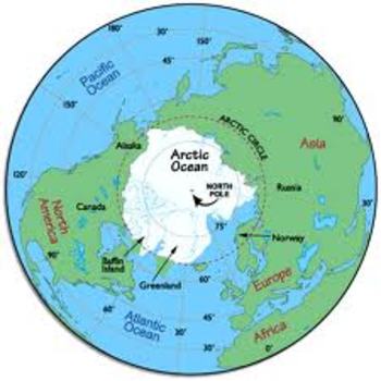
Arctic SMART Board Thematic Unit
This is an interactive SMART Board presentation about the climate, culture, people, communities, and animals in the Arctic. It includes lessons, videos, interactive slides, lab ideas, and writing/craft activities for each subtopic including the tundra, the Inuit people, land animals and camouflage, Arctic animals with fur, Arctic animals with feathers, and Arctic animals with blubber.
Subjects:
Grades:
K - 3rd
Talking About Geography!: SMARTBOARD Activities
If you want to supplement your study of GEOGRAPHY, this is the resource for you! This file is complete with TWELVE different social studies activities that can be used in your classroom for whole group instruction, small group work, or individual practice! This SMART Board file includes the following:Geography VocabularyKWL ChartLabelsMap KeyContinentsGlobesMapsCardinal DirectionsVenn DiagramSortingBuilding Your Own MapLand and WaterThis file was created using SMART Board 15 and is supported by
Subjects:
Grades:
PreK - 1st
1st Grade Geography Day 1-6
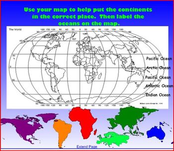
There are 6 days worth of smartboard lessons in this file. On day one students will brainstorm what they already know about geography. On day 2 students will think about where they are in the earth and zoom away from where they are to see the earth as a whole (you will need to substitute my state with yours). On Day 3 students will learn why maps are important and about the two types of world maps. Day 4 and 5 students will learn about the globes continents and oceans and where they are located.
Subjects:
Grades:
K - 2nd
Types:
Marvelous Maps
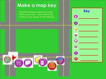
This Smart notebook is an engaging, interactive way to teach and practice basic map skills in the primary grades. Topics include continents, map keys, cardinal directions, and more. Students can even drag and drop icons to create their own town!
Subjects:
Grades:
K - 2nd
All About Mexico
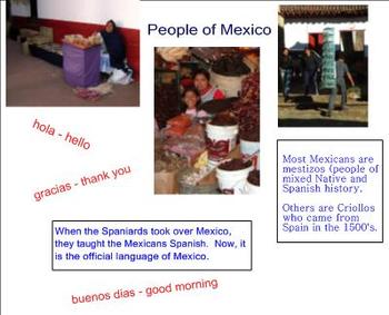
This SMART Board document helps my students review the geography, climate, food, culture, people, currency, and history of Mexico. We do several hands-on activities centered around each of the slides.
Subjects:
Grades:
K - 2nd
Types:
Rural, Urban, Suburban Game SmartBoard
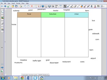
This is a simple game for sorting things that you would find in Rural, Urban, or Suburban communities. It is a SmartBoard file.
Subjects:
Grades:
K - 4th
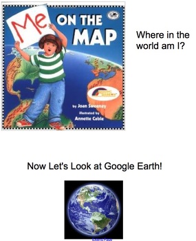
Me on the Map, Map Skills and Main Idea Smartboard Unit
(This is an extension on my other Maps Unit- its the same but incorporates ELA standards of Main Idea and details). This was created by our first grade team to align with the common core standards for first grade. This smartboard file contains an entire unit plan for map skills (3-4 weeks)! It starts out introducing features of a map (symbols, map key, compass rose, cardinal directions, etc.) There are links to read aloud books you can use from the website Pebble Go, BrainPop Jr. and Bookfli
Grades:
K - 2nd
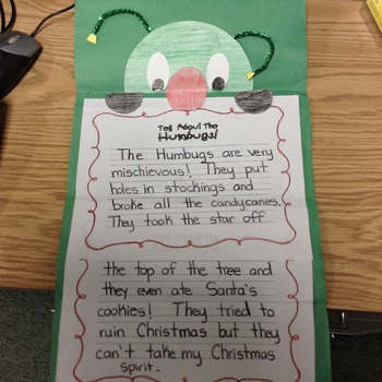
Christmas and Holidays Around the World
This is an entire unit on Christmas and “Holidays Around the World.” There are suggested read alouds with writing activities and prompts, as well as crafts and activities to go along with some of the stories and countries learned about. Some of the other Christmas stories included with activities are: The Penguin Who Wanted to Be Different, The Christmas Humbugs, Howard B. Wigglebottom-A Christmas Story, The Snowy Day, and more! The students also create a passport and “suitcase” and “travel” to
Subjects:
Grades:
K - 2nd
Types:
Landforms and Bodies of Water Smart Board Lesson
This file includes definitions and real photographs of landforms and bodies of water to provide visuals and enhance your classroom lessons.
Includes: plain, hill, mountain, valley, peninsula, coast, island, desert, volcano, canyon, cave, river, lake and ocean.
Grades:
K - 3rd
Mapping Skills with Google Earth™: Map Your Classroom - Activity NOTEBOOK Gr. PK
**THIS is a SMART Notebook Version**
This is a Interactive Mini. It is just one activity from the full lesson plan Mapping Skills with Google Earth™ - NOTEBOOK Gr. PK-2.
About this Resource:
In this Map Your Classroom mini, students will learn how to map a small area, such as their classroom. Students drag things that appear in a classroom to the map of a classroom. Follow the prompts for a complete score, or create your own..
Our content meets your State Standards and are written to Bloom
Subjects:
Grades:
PreK - 2nd
Types:
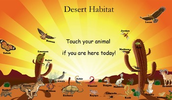
Desert Habitat Attendance for SMART Board
I like to call this, Super Attendance because each student gets a different icon. Other attendance trackers have the same pictures with different student names. Kids LOVE how their attendance picture is special to only them.
All names are easily editable in Smart Notebook.
Each student has a different animal, interacting with the environment in their own unique ways.
This is a North and South American desert habitat.
Subjects:
Grades:
K - 4th
Types:

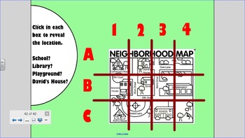
Mapping Skills with Google Earth™: Map Your Community - Activity - NOTEBOOK
**THIS is a SMART Notebook Version**
This is a Interactive Mini. It is just one activity from the full lesson plan Mapping Skills with Google Earth™ - NOTEBOOK Gr. PK-2.
About this Resource:
In this Map Your Community mini, students will learn about coordinates and grid references. Students answer A or B to answer each question as they appear.
Our content meets your State Standards and are written to Bloom's Taxonomy.
************************************************************************
Subjects:
Grades:
PreK - 2nd
Types:
1st Grade Geography Days 7-13
In these lessons students will learn about how maps are made along with the tools that are found on maps. Students will first learn the term birds eye view and a book is suggested in the lesson. Students will look at pictures to determine what they are seeing from a bird's eye view. The next lesson students learn the importance of the compass. Use the attached activity to do with a group or in partners to show the importance of direction. Then students will identify symbols on a map. Discuss as
Subjects:
Grades:
K - 2nd
Mapping Skills with Google Earth™: How to Read a Map -Activity NOTEBOOK Gr. PK-2
**THIS is a SMART Notebook Version**
This is a Interactive Mini. It is just one activity from the full lesson plan Mapping Skills with Google Earth™ - NOTEBOOK Gr. PK-2.
About this Resource:
In this How to Read a Map mini, students will learn about color-coded maps and what each color means. Students touch a colored dot in the legend to choose it. Then, they touch a place on the map to turn it that color.
Our content meets your State Standards and are written to Bloom's Taxonomy.
*********
Subjects:
Grades:
PreK - 2nd
Types:
Identifying a Color-Coded Map - Explore - NOTEBOOK Gr. PK-2
**THIS is a SMART Notebook Version**
This is a Explore Mini. It is just one explore with Google Earth™ activity from the full lesson plan Mapping Skills with Google Earth™ - NOTEBOOK Gr. PK-2.
About this Resource:
In this Identifying a Color-Coded Map mini, students will complete an Online activity using Google Earth™, or an Offline activity. Students learn what the different colors on a map mean.
Our content meets your State Standards and are written to Bloom's Taxonomy.
*****************
Subjects:
Grades:
PreK - 2nd
Types:
Agriculture - Plants
This is a Smart Notebook file that forms a unit about Agriculture - Plants. It was originally made for a senior special needs class but can easily be used for a class of nearly any age or ability. It includes 7 lessons that can be taught over a week or a term.
If you do not have SMARTnotebook you can still view and use this lesson, as long as you are connected to the internet:
http://express.smarttech.com/#
Simply go to this webpage and upload the file. Some of the formatting will change, and m
Subjects:
Grades:
K - 10th
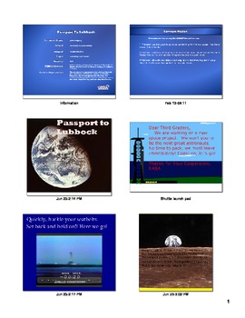
Passport to Your City
This is a SmartBoard lesson that was used in third grade with the Social Studies Alive Curriculum. It has my home town in it, but it would be easy to substitute your town in place. It teaches north, east, south, west, Prime Meridian, and the Equator. Then it also touches on city, state, and country. It includes interactive games and interactive websites listed at the end.
Subjects:
Grades:
K - 4th
Mapping Skills with Google Earth™: Memory Match Game - NOTEBOOK Gr. PK-2
**THIS is a SMART Notebook Version**
This is a Memory Match Game Mini. It is just one activity from the full lesson plan Mapping Skills with Google Earth™ - NOTEBOOK Gr. PK-2.
About this Resource:
In this memory match game, 6 matching pairs of map symbols are hidden in the puzzle. For primary school, this mini is great for comprehending 6 of the map symbols covered in the topic of Mapping Skills with Google Earth™.
Our content meets your State Standards and are written to Bloom's Taxonomy.
Subjects:
Grades:
PreK - 2nd
Types:
Mapping Skills with Google Earth™: Map the World - Activity - NOTEBOOK Gr. PK-2
**THIS is a SMART Notebook Version**
This is a Interactive Mini. It is just one activity from the full lesson plan Mapping Skills with Google Earth™ - NOTEBOOK Gr. PK-2.
About this Resource:
In this Map the World mini, students will find the coordinates of the continents and oceans. Students answer A or B to answer each question as they appear.
Our content meets your State Standards and are written to Bloom's Taxonomy.
***********************************************************************
Subjects:
Grades:
PreK - 2nd
Types:
Mapping Skills with Google Earth™: Map Your Continent - Activity - NOTEBOOK
**THIS is a SMART Notebook Version**
This is a Interactive Mini. It is just one activity from the full lesson plan Mapping Skills with Google Earth™ - NOTEBOOK Gr. PK-2.
About this Resource:
In this Map Your Continent mini, students will label their continent with some of its countries and oceans. Students touch the icons to reveal a multiple choice option. Then, they touch A or B for the right label.
Our content meets your State Standards and are written to Bloom's Taxonomy.
*************
Subjects:
Grades:
PreK - 2nd
Types:
Showing 1-24 of 54 results


