2 results
Government simulation images

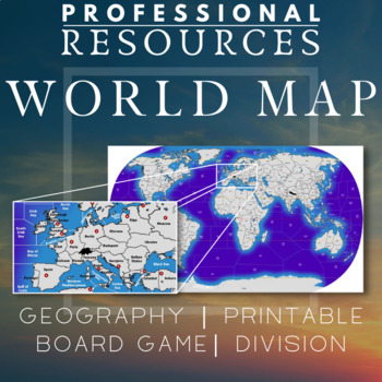
World Map | Regions | Board Game | Geography | Printable | Diplomacy | Risk
This file is a high resolution World Map with almost 160 land areas and 85 sea zones. It is ideal for a board game map for games like Diplomacy or Risk which can be used in the classroom. Could be useful for creating games, using teaching techniques like the World Peace Game or general use for Geography in the classroom.Also good for Social Studies and History. High quality image - 8848 x 5062 pixels* To print using a regular printer, insert the jpg file into Excel. You can make it any size requ
Subjects:
Grades:
5th - 8th
Types:

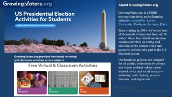
GrowingVoters.org: Free Virtual and Classroom Activities
GrowingVoters.org is a FREE non-partisan civics active learning initiative created by Lesley University Professor Jo-Anne Hart. Since starting in 2004, we've had tens of thousands of users and from all 50 states. These free virtual and in-class creative activities on voting and elections invite student voice and power to actively take part in the U.S. electoral system. Our hands-on projects are designed for all grades, elementary to college, and across multiple subject areas beyond civics and s
Grades:
Not Grade Specific
Types:
Showing 1-2 of 2 results


