World Geography Bell Ringer: All Countries of the World (Year Long Entry Tasks)
- Zip
- Webquests
What educators are saying
Description
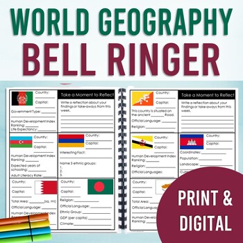
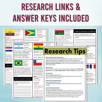
By the end of the year, your students will have gained a broad understanding of 200+ countries, territories, and special collectives of the world. Discover facts and use the internet to research important data about a different country every day (5 days a week) with this bell ringer. This resource covers both physical and human geography. Answer keys are included.
PLEASE CLICK THE PREVIEW FOR MORE INFORMATION
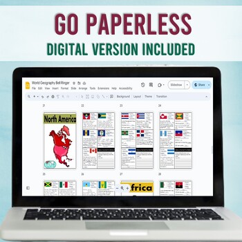
Digital & Print: This bell ringer includes both a print version and a digital version. The entire bell ringer digital booklet is already loaded with textboxes and is ready to go in Google Slides. The print version includes a cover, dividers, and page tabs. The print version can be spiral-bound, or placed in a notebook. Print just what you need.
Bell Ringer Set-Up:
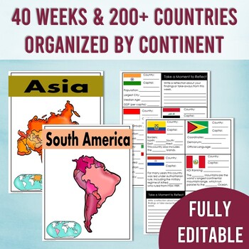
This bell ringer spans 40 WEEKS! Countries are organized by continent for easy implementation. Answer keys are included. Plus, this resource is EDITABLE! Add or change questions to fit your curriculum needs. PowerPoint editable versions are included for you.
Typical Weekly Flow:
Africa = 11 Weeks
Asia = 10 Weeks
Europe = 10 Weeks
North America/Central America = 5 Weeks
South America = 2.5 Weeks
Oceania = 2 Weeks
Ways to Use:
:: Entry Task
:: Warm Up or Exit Ticket
:: Early Finishers
:: Independent Work
:: Station Activity
:: Homework
Topics within this journal include:
- Flags
- Location on the map
- Capitals
- Coordinates
- Borders
- Topography
- Agriculture
- Waterways
- Total Area
- Climate
- Biodiversity
- Official languages
- Demonym
- Ethnic groups
- Religion
- Total Population
- Government Systems
- Officials/Leaders
- Provinces/Municipalities
- Economic Industries
- Exports
- Currency
- Human Development Index Ranking (HDI)
- Gini Rank (wealth distribution)
- GDP (per capita)
- Median Age
- Birth Rate
- Total Fertility Rate (TFR)
- Adult Literacy Rate
- Expected years of schooling
- Mean years in schooling
- Access to clean water
- Life Expectancy
- Health Concerns
- Historical Events
- Historical Dates of Importance
- Dates of Independence
- & More!
Goal: The intent of this resource is for your students to gain a broad understanding of the world, by using the internet to research and learn about a new country. With daily implementation, your students will notice specific trends as they analyze each country--the data speaks for itself. In order to cover as many countries as this resource includes, it is not feasible to cover every key historical moment or every data point for every country. However, I have included editable versions. If you would like to change the questions to better fit your curriculum, then you are welcome to make adjustments. You must have access to PowerPoint to edit.
Tech Needed: This resource requires access to the internet for research. Specifically, your students will use the UN Human Development Report website along with the encyclopedia for research. Links are provided within the resource.
Can I try this with my students before purchasing?
Yes! To access a FREE one week sample, to try before you buy, click here: World Geography FREE SAMPLE WEEK
If you have specific questions before purchasing, you can email me directly at michellemcdonald9515@gmail.com
Thank you!
Michelle McDonald, B.A.E.
Social Studies Education, K-12
Elementary Education K-8
* * * * * * * * * * * * * * * * * * * * * * * * * * * * * * * * * * * * * * * * * * * * * * * * * * * * * *
Connect with Me:
Instagram @mrsmichellemcdonald
Facebook: Michelle McDonald-Strategic Educational Services
Blog: StrategicEducationalServices.com
* * * * * * * * * * * * * * * * * * * * * * * * * * * * * * * * * * * * * * * * * * * * * * * * * * * * * *
Follow me on TpT to be the first to learn about new products, sales, and discounts. Follow Michelle McDonald


