Weather Map Forecasting Symbols
- PPTX
What educators are saying
Description
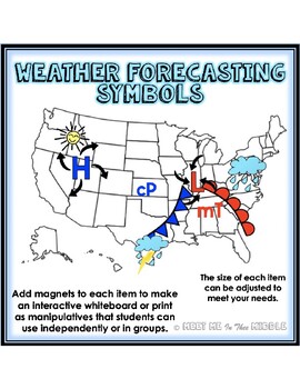
This product is a great way to get students to model, discuss, and predict weather conditions on a map.
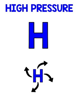
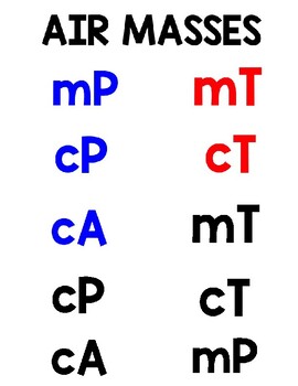
This product contains a blank U.S. map, symbols and labels for a Cold Front, Warm Front, Occluded Front, and Stationary Front, symbols for each type of airmass, high and low pressure symbols with and without air circulation patterns, a blank station model, as well as images of a variety of weather conditions.
Each image/symbol, can be adjusted to a size that meets your individual needs. You can add magnets to each item to make an interactive whiteboard or print as manipulatives that students can use independently or in groups.
**************************************************************************************************
LET’S CONNECT!
Follow me on Instagram @meetmeintheemiddle
Any questions or suggestions? Please feel free to leave a question in the Resource Q&A or send me an email at meetmeintheemiddle@gmail.com
Thank you for your support,
Brittany ☺


