TPT
Total:
$0.00

NYS How's the Weather Up There? Guided Lab, Pre-lab Boom Cards, Reference Sheet

Rated 5 out of 5, based on 1 reviews
5.0 (1 rating)
;
SPEDtacular Duo
8 Followers
Grade Levels
6th - 8th
Resource Type
Standards
Formats Included
  • Zip
Pages
63 pages
$18.00
$18.00
Share this resource
Report this resource to TPT
SPEDtacular Duo
8 Followers

Description

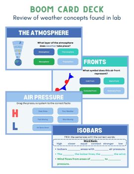
In this resource you will find a copy of a Boom card deck to review students with the weather concepts they will be exposed to in the NYS How’s the Weather Up there? Lab Investigation. This set can be done as a pre-lab activity.

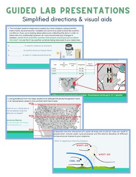
Also included in this resource are two guided lab presentations that break down the investigation step by step. They provide visuals for students, simplify the questions and include sentence starters. These are meant to scaffold for the students as they complete the lab. There are two formats - .pdf which I would use with Kami or ppt.

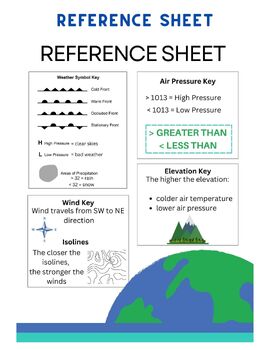
A reference sheet that covers the key pieces of information students need in order to complete the lab questions is also attached and a .gif of the weather patterns to help visualize question 3 in student answer packet 1.

Answer keys are included for both presentations. Please note that all answers can also be found in the NYS Teacher Materials for this lab. Answers may vary.

Total Pages
63 pages
Answer Key
Included
Teaching Duration
N/A
Report this resource to TPT
Reported resources will be reviewed by our team. Report this resource to let us know if this resource violates TPT’s content guidelines.

Standards

to see state-specific standards (only available in the US).
NGSSMS-ESS2-6
Develop and use a model to describe how unequal heating and rotation of the Earth cause patterns of atmospheric and oceanic circulation that determine regional climates. Emphasis is on how patterns vary by latitude, altitude, and geographic land distribution. Emphasis of atmospheric circulation is on the sunlight-driven latitudinal banding, the Coriolis effect, and resulting prevailing winds; emphasis of ocean circulation is on the transfer of heat by the global ocean convection cycle, which is constrained by the Coriolis effect and the outlines of continents. Examples of models can be diagrams, maps and globes, or digital representations. Assessment does not include the dynamics of the Coriolis effect.
NGSSMS-ESS2-5
Collect data to provide evidence for how the motions and complex interactions of air masses result in changes in weather conditions. Emphasis is on how air masses flow from regions of high pressure to low pressure, causing weather (defined by temperature, pressure, humidity, precipitation, and wind) at a fixed location to change over time, and how sudden changes in weather can result when different air masses collide. Emphasis is on how weather can be predicted within probabilistic ranges. Examples of data can be provided to students (such as weather maps, diagrams, and visualizations) or obtained through laboratory experiments (such as with condensation). Assessment does not include recalling the names of cloud types or weather symbols used on weather maps or the reported diagrams from weather stations.

Reviews

Questions & Answers

8 Followers