Maps of Canada Clipart: First Nations grouped by LANGUAGE - CLIP ART
SillyODesign
1.9k Followers
Grade Levels
Not Grade Specific
Subjects
Resource Type
Formats Included
- Zip
Pages
20 pages
SillyODesign
1.9k Followers
What educators are saying
Thank you for this mapping clip art. It's perfect to use in the resources I create. I would love to see more clip art about Indigenous Peoples of Canada! :)
Description
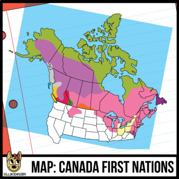
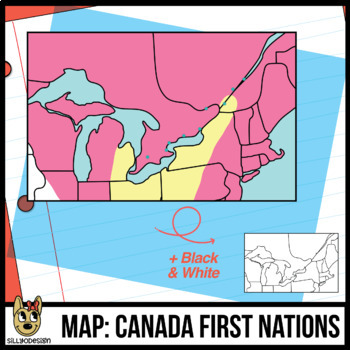
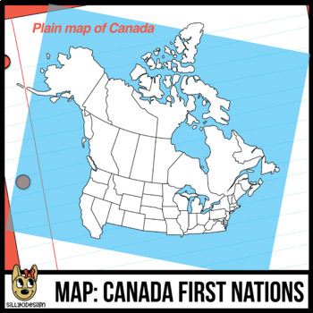
This set of Canadian map clip art contains a map of languages of the First Nations prior to the arrival of Europeans. A blank map of Canada is also included for students to fill-in as well as a close-up of the south-east border where many immigrants settled.
Please read the what's included below. Some images only come in color and some are only in black and white.
The maps are NOT labeled in order for you to customize them for your Canadian history and social studies resources. The colored squares for the legend are labeled with the language of the region. This is not student-ready resource, it is clip art for teachers who make resources. ;)
Included
- Current map of Canada - B&W
- Map of First Nations (prior to Europeans) - color
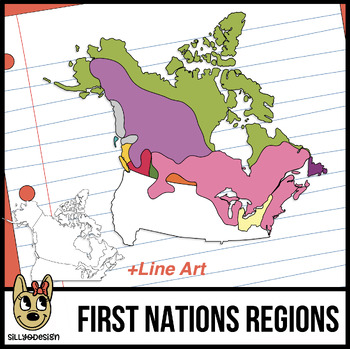
- First Nations Regions - color and B&W
- Closeup map of early settlers (cities are marked with a dot) - color and B&W
- Closeup map of early settlers (cities are not marked) - B&W
- Color Key Squares representing LANGUAGES
Thanks for visiting!
300 ppi, transparent, PNG files.
Total Pages
20 pages
Answer Key
N/A
Teaching Duration
N/A
Report this resource to TPT
Reported resources will be reviewed by our team. Report this resource to let us know if this resource violates TPT’s content guidelines.


