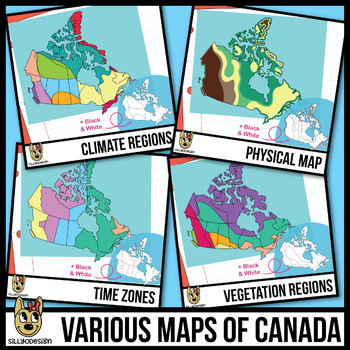
Maps of Canada Clipart: Climate, Physical, Time Zones, & Vegetation Regions
- Zip
What educators are saying
Description
This series of Canadian maps clip art contains colorful maps for Climate Regions, a Physical Map, Time Zones, and Vegetation Regions. The maps come in color and black and white line art. I've also included a black and white borderless map of Canada for students to draw on, and a black and white map of Canada with only the province borders marked. 44 total PNGs.
Please note that the borders on this set are rough approximations and are by no means 100% accurate. They were created to give a general idea of the different regions.
The maps are not labeled in order for you to customize them for your teaching resources. I have included colored squares for each map to use in a key/legend. The colored squares are named with the region they represent. For example, the blue square PNG that coincides with the Time Zones map is named, "Central Time."
A larger version of the climate map can be seen in the preview file. Not all maps are shown in the thumbnails, please see what's included in the list below.
Included
• Borderless Map of Canada (black & white)
• Canadian map with province borders (black & white)
Canadian Climate Regions Map
• Climate Regions-without province borders
• Climate Regions-with province borders
• Climate Regions-without province borders (black & white)
• Climate Regions-with province borders (black & white)
• 11 Colored squares for different regions
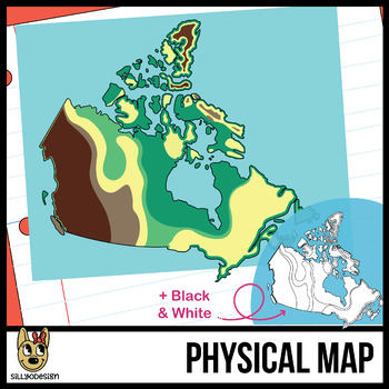
Canadian Physical Map
• Physical Map-without province borders
• Physical Map-without province borders (black & white)
• 5 Colored squares for different regions
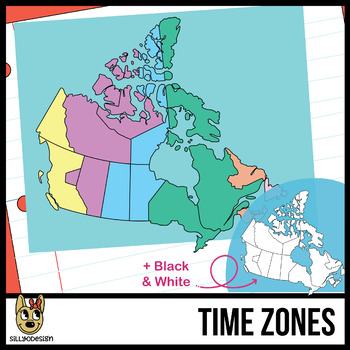
Canadian Time Zones Map
• Time Zones Map-with province borders
• Time Zones Map-with province borders (black & white)
• 6 Colored squares for different regions
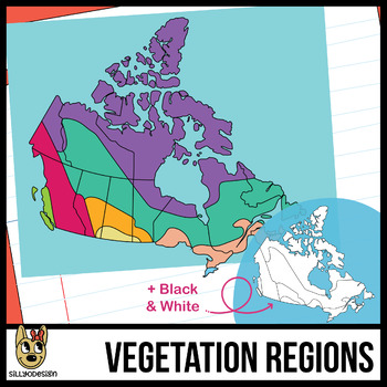
Canadian Vegetation Map
• Vegetation Map-with province borders
• Vegetation Map-with province borders (black & white)
• Vegetation Map-without province borders
• Vegetation Map-without province borders (black & white)
• 8 Colored squares for different regions
Thanks for visiting!
300 ppi, transparent, PNG files, OK for TpT and small commercial use.


