Maps before and after WWI
Anne Raybon
20 Followers
Grade Levels
7th - 10th
Subjects
Resource Type
Standards
CCSSRI.7.1
CCSSRH.6-8.7
Formats Included
- Word Document File
Pages
2 pages
Anne Raybon
20 Followers
Description
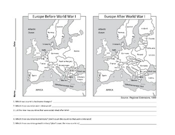
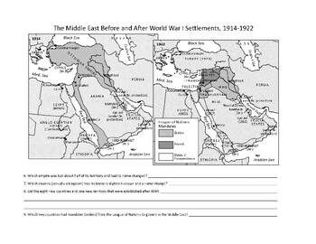
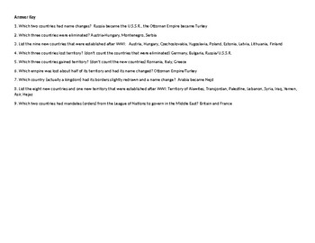
Before and after WWI comparison of maps of Europe and Middle East (Southwest Asia). Questions require close reading and analysis of maps. Answer key included.
Total Pages
2 pages
Answer Key
Included
Teaching Duration
40 minutes
Report this resource to TPT
Reported resources will be reviewed by our team. Report this resource to let us know if this resource violates TPT’s content guidelines.
Standards
to see state-specific standards (only available in the US).
CCSSRI.7.1
Cite several pieces of textual evidence to support analysis of what the text says explicitly as well as inferences drawn from the text.
CCSSRH.6-8.7
Integrate visual information (e.g., in charts, graphs, photographs, videos, or maps) with other information in print and digital texts.


