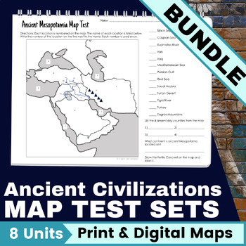
Map Test - Ancient Civilizations Maps - Ancient History Maps - 6th Grade
- Zip
What educators are saying
Products in this Bundle (9)
showing 1-5 of 9 products
Description
Map test sets will help your students further understand ancient civilization location and geography. These ready-to-use ancient history maps include both labeled and blank maps for student practice along with map tests that align with 6th grade social studies, ancient civilization content.
Every ancient civilization unit should include map study. With these ancient civilization maps, you are now set for each and every unit, all year long.
Help expand your students’ understanding of ancient locations with these Map Test sets that I specifically designed to accompany Ancient Civilization curriculum.
Here's What You'll Get:
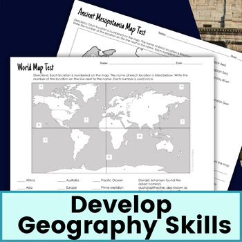
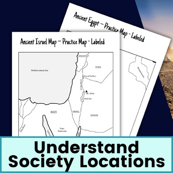
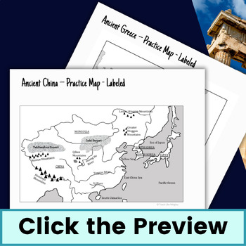
This bundle includes Map Test Sets for these units: Prehistory (World Map), Mesopotamia, Egypt, India, China, Greece, Rome, and Israel (recently added)
EACH Ancient History Map Test Set INCLUDES:
- Teacher tips for teaching locations of ancient civilizations
- One blank map for student practice PDF and Google Slide format
- One labeled map for student practice PDF and Google Slide format
- One Map Test PDF and Google Slide format
- One Map Test Answer Key PDF
BONUS!! This bundle includes the Continent Locations Activity for each unit!
How To Use These Ancient History Map Tests:
✅ Provide your students with the blank and labeled ancient history map early in your unit, ideally at the beginning when you are learning about location and geography.
✅ Give your students 2 weeks of study time.
✅ Reference the ancient history maps during lessons in class to connect content.
✅ Give students the ancient history Map Test to test their knowledge– it usually takes 10 minutes for students to complete.
❤️ Why You’ll Love It ❤️
❤️ No need to scour through textbooks, atlases and resources to see all the important geographical features. They are all gathered for you.
❤️ The ancient civilizations maps come in a printable PDF file AND a digital Google Slide file. Which means you can use the exact same materials when teaching students in-person, remotely, and most importantly when teaching in a hybrid situation (in-person and remote).
❤️ This means you won’t have to search for materials for your students on screen or the students sitting in front of you. This lesson set provides both.
ADDED BENEFITS
These ancient civilizations map test incorporate the knowledge of continents and geographic features and connect to their importance in ancient times as well as present-day countries.
Each ancient civilizations map test includes geographic features such as: major rivers, mountains, deserts, bodies of water and borders of select present day countries. (World Map is the only exception)
These ancient civilizations maps are the perfect asset to utilizing every minute of your class time. Finish your lesson 10 minutes early? Everyone pull out your maps and quiz your partner!
What Teachers Are Saying About these Ancient History Map Test Sets:
⭐️ ⭐️ ⭐️ ⭐️ ⭐️ Michelle said, “This was a life saver! It was already put together in a way that was easy to use in class. I love that I didn't need to go through numbering a map for a quiz.”
⭐️ ⭐️ ⭐️ ⭐️ ⭐️ Magan said, “This is the best ancient map practice that I have found!”
⭐️ ⭐️ ⭐️ ⭐️ ⭐️ Lisa said, “We use these maps to start each new unit! We color the maps and then take the quiz at the end of the week so I know they are familiar with the geography right off the bat.”
Remember:
Click the green star next to my store name so you can be notified about new products, updates and get the latest download.
_________________________________________________________________________________
Copyright © Teach Like Midgley
Permission to copy for single classroom use only.
Please purchase additional license if you intend to share this product.


