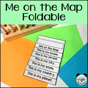
Map Foldable Activity: Our World, Country, State, City, Street and Home
- PDF
Description
This activity can be use in so many grade levels because it helps students understand how we fit in our world, but also is a great understanding of how maps works. Students can zoom in and zoom out on their place on our planet, in their country, state, city, street and home. This is also a fun foldable activity that can be displayed and shared to show and assess learning.
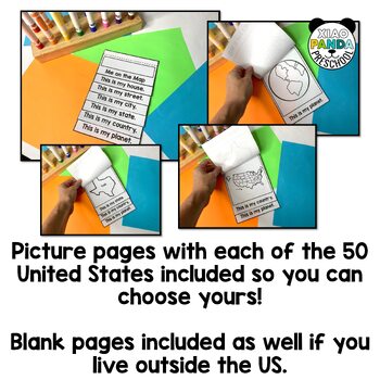
This map activity includes pages have have clipart of the earth, the United States map, and different pages for each of the 50 States in the USA.
I've also included blank pages of each so you can have students draw their own state, country, etc. You get to decide what will work best for your classroom.
Included in this Resource:
- Pages to Create "Me on the Map" Foldable: Me, My House, My Street, My City, My State, My Country, My World.
- Each of the 50 US States
- My map Creation: Blank Page to Draw a Map of anywhere - even imaginary
- My Classroom Map: Practice Map Skills by Drawing a Map of the Classroom. Teacher can draw this map and hide a "treasure" that's marked on the map so kids practice using the map to find something.
- My Bedroom Map: Create a "map" of bedroom to practice map skills
- Bedroom pictures you can cut and paste into the bedroom map
⭐See more sales and freebies my FOLLOWING ME here on TPT
⭐See more ideas on Instagram @XiaoPandaPreschool


