MrsLeFave
2.1k Followers
Description
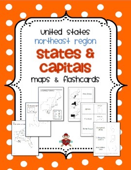
UPDATED 2/16/2014! Now includes 3 different maps & 3 different sets of flashcards. Each set of flashcards could also be used as a matching game.
This FREE product contains 3 maps of the Northeast Region of the United States.
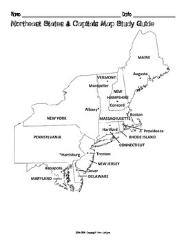
• Study guide map labeled with the states and capitals (which can also be used as an answer key)
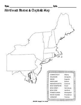
• Blank map with a word bank of the states and capitals
• Blank map without word bank
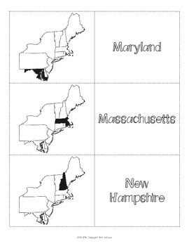
Also included are 3 different versions of flashcards to study states and/or capitals. Each set of flashcards could also be used as a matching game - print each set on a different color of paper, then instead of folding & gluing, just cut apart & laminate!
• State shaded within the region on the front with state name on the back
• State name and outline on the front with capital on the back
• State outline on the front with state name and capital on the back
The states included (see below) as part of the Northeast Region correspond to the Social Studies Alive! Regions of Our Country curriculum.
Connecticut, Delaware, Maine, Maryland, Massachusetts, New Hampshire, New Jersey, New York, Pennsylvania, Rhode Island, and Vermont
Correlates to Massachusetts History & Social Science Learning Standard 4.10
Maps for the Southeast, Midwest, Southwest, and West Regions are also available in my TpT store. Save $3 if you buy all 5 regions at once in this packet!
If you have any questions or concerns, please let me know via email at MrsLeFave@gmail.com.
Thank you!
Mrs. LeFave
Total Pages
16 pages
Answer Key
Included
Teaching Duration
N/A
Report this resource to TPT
Reported resources will be reviewed by our team. Report this resource to let us know if this resource violates TPT’s content guidelines.


