5th Grade Coordinate Graphing BUNDLE! Task cards vocabulary project
- Zip
Products in this Bundle (6)
showing 1-5 of 6 products
Description
BUNDLE ALERT!
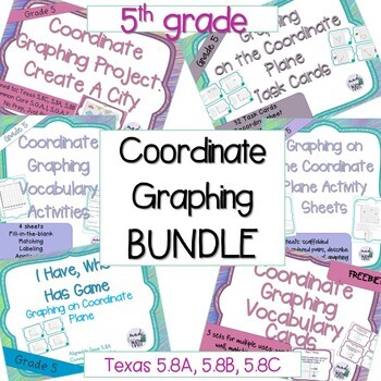
I have bundled 6 products from my store that cover all things Coordinate Graphing for your 5th grade students.
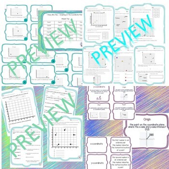
1. Vocabulary posters/cards that align to this standard. Words covered are: coordinate grid/plane, axis/axes, x-axis, y-axis, coordinates, ordered pair, x-coordinates, y-coordinates, origin, plot and point.
2. 4 Vocabulary activity sheets that contain the words above. Students will match, fill-in-the-blanks, label and apply the terms throughout the 4 sheets.
3. 11 Activity Sheets that are scaffolded to start with the basic concept of plotting coordinates and reading coordinates from a grid and then moves into graphing from an input-output chart, finding and writing rules, and directions from one point to another on a coordinate plane.
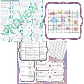
4. 32 Task Cards covering the following skills: Name ordered pairs on a coordinate grid, find ordered pairs that passthrough lines and/or shapes, create an input/output table that correspond to points on a graph, graph points from an input/output table, find rules and continue patterns from input/output tables, give directions on how to move from one coordinate to another
5. I have, Who has game that has students practice reading coordinate grids.
6. Project: Create your own City. Students will use the coordinate plane to create a city with various landmarks which will form 2D shapes. Students will name and label the landmarks on the worksheet provided. They will also name all the vertices of each landmark with their given coordinates. Once they have created their city, they will practice the skill of moving along a coordinate plane using directions such as, left, right, up, down, add to, subtract from, x-axis and y-axis. They will create 4 original questions (on the provided task card sheet) that connect to their map. The questions will be directions in the format of: Begin at _____ move _____ and ____, where are you? They will also create an answer key for their problems. Once students have created their questions and answer key you can have them switch with a partner and solve one another's questions.
Below are the individual products:
These are mainly aligned to Texas 5.8A, 5.8B, and 5.8C but can also be used to supplement CCSS 5.G.A.1 and 5.G.A.2
Stay up-to-date on sales, freebies and new resources
•Follow me on TpT
•Check out my Blog Mad for Math
•Follow me on Social Media – Instagram
Don't forget, to get TPT credit for future purchases:
•Go to your My Purchases page.
•Click on the Provide Feedback button to leave a rating and comment.
•You’ll earn credits, which you can redeem on future purchases!
I aim to achieve a 5-star rating
Before leaving feedback:
•Don’t be shy! Reach out and ask me a question
•Visit the FAQs section


