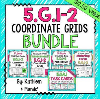
5.G.1-2 BUNDLE: Coordinate Grids
Kathleen and Mande'
10k Followers
Resource Type
Standards
CCSS5.G.A.1
CCSS5.G.A.2
Formats Included
- Zip
Pages
50+
Kathleen and Mande'
10k Followers
What educators are saying
I have other bundles by this creator so I knew I had to purchase this one and it was just as amazing as the others. It was perfect for all of the things that I needed it for!
This resource was very easy to use with my students. It included many opportunities for practice for my students. Thank you!
Products in this Bundle (5)
Description
This CCSS aligned bundle has everything you need to teach 5.G.1-2: Coordinate Grids. By purchasing the bundle, you can save 15%! (If purchased individually, this bundle would be $12.50) Click each link below to see each product's detailed description and preview.
This bundle includes these 5 resources:
5.G.1-2 Practice Sheets: Coordinate Grids
5.G.1-2 Assessment: Coordinate Grids
5.G.1-2 Task Cards: Coordinate Grids
5.G.1-2 Matching Cards: Coordinate Grids
5.G.1-2 Poster Set: Coordinate Grids
**If you are purchasing this bundle, you do not need to purchase these products separately!
Enjoy! Teaching Together,
:) Kathleen & Mande'
Total Pages
50+
Answer Key
Included
Teaching Duration
N/A
Report this resource to TPT
Reported resources will be reviewed by our team. Report this resource to let us know if this resource violates TPT’s content guidelines.
Standards
to see state-specific standards (only available in the US).
CCSS5.G.A.1
Use a pair of perpendicular number lines, called axes, to define a coordinate system, with the intersection of the lines (the origin) arranged to coincide with the 0 on each line and a given point in the plane located by using an ordered pair of numbers, called its coordinates. Understand that the first number indicates how far to travel from the origin in the direction of one axis, and the second number indicates how far to travel in the direction of the second axis, with the convention that the names of the two axes and the coordinates correspond (e.g., 𝘹-axis and 𝘹-coordinate, 𝘺-axis and 𝘺-coordinate).
CCSS5.G.A.2
Represent real world and mathematical problems by graphing points in the first quadrant of the coordinate plane, and interpret coordinate values of points in the context of the situation.


